UN 13460
September 16, 2017
By Tim Briese
5.7 miles, 2200’ elevation gain, 5:00 roundtrip time
I left home at 5 am with my lab Abby and headed to the Sawatch Range to climb this 13er.
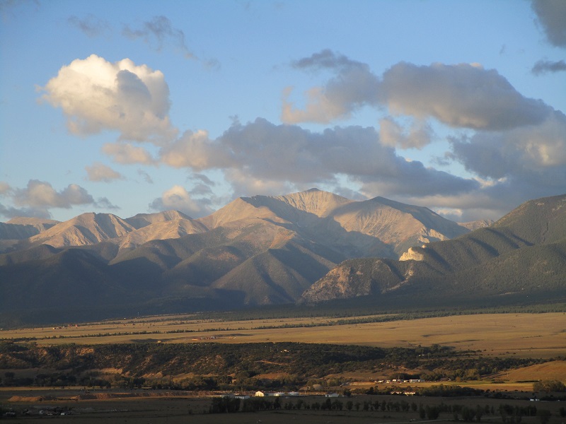
scenic sunrise on mt antero from near buena vista
It was supposed to be sunny today, but the weather deteriorated badly as I drove up Highway 24 north of Buena Vista, with wind, some rain, and storm clouds engulfing the summits above. I pulled over by Twin Lakes to check the radar and NOAA again on my phone and it appeared that things might get better later. Feeling doubtful about the climb, I headed southwest from Highway 82 on the high clearance South Fork Lake Creek Road, FR 391, and drove it all the way to its end at 11,300’ where it was gated off at the boundary of the Collegiate Peaks Wilderness Area. It took about 45 minutes to drive the five and a half mile length of the road.
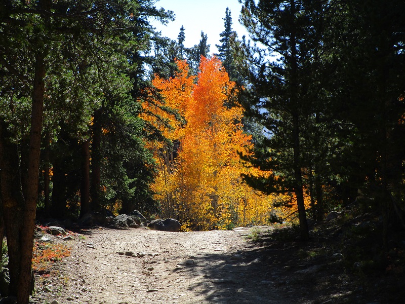
driving up fr 391
pretty fall colors in the valley
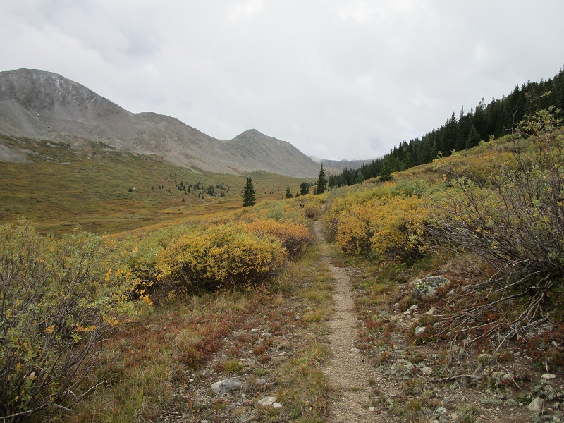
There were two hunters with spotting scopes at the trailhead who appeared to be freezing in the chilly wind. They told me it had snowed on them earlier in the morning, and I could see fresh snow lying on the slopes above. I left the trailhead at 915 and headed up a nice, little-used trail through the willows up the valley, still feeling a little dubious about the success of this climb. My late start today was turning out to be a good thing. Clouds were lifting from the peaks above but it was still cold and windy.
on the nice trail up the valley
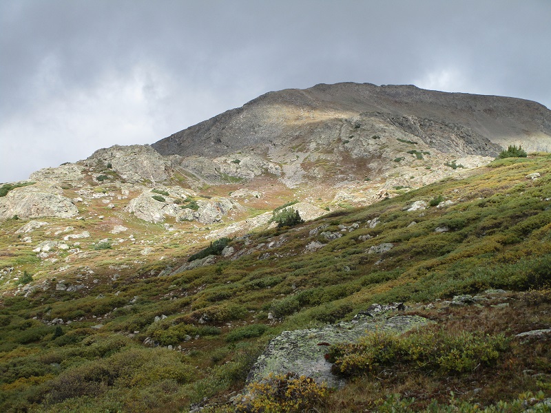
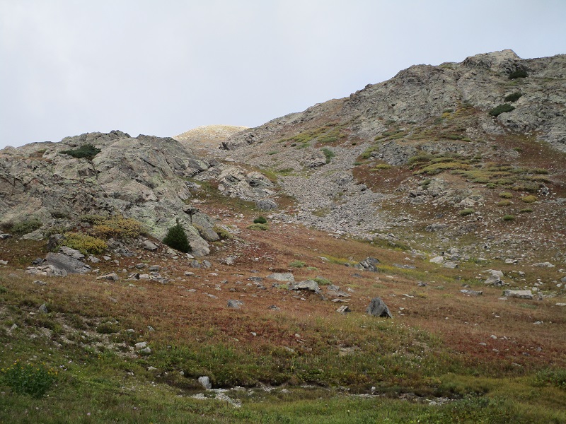
In just over an hour, at 2.1 miles, I left the trail at 12,100’ and began to bushwhack up grassy slopes to the north toward 13460, which I could see directly ahead. I managed to pick a route on nearly all grass, utilizing a convenient narrow grassy gully, to make my way up to the ridge west of the summit at 13,300’.
i went up grassy slopes near the center of the photo
the grassy gully in the center of the photo was quite helpful
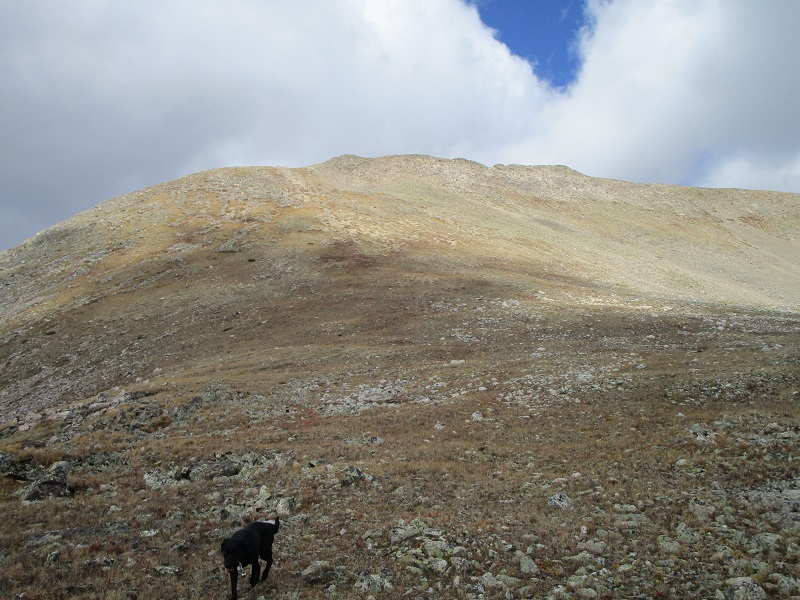
the slope up to the ridge
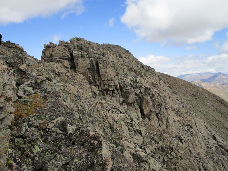
I reached the ridge crest at 1125 and from there headed east along the rough ridge 0.15 miles to the summit. I dropped below the right side of the ridge for a bit to keep the climbing at Class 2+. It looked like the ridge proper would have been Class 3. While negotiating the loose rocks one gave way under my foot but I was holding on so no harm was done. My dog doesn’t like this sort of terrain and I can’t say that I like it a whole lot either.
the rough ridge to the summit
I stepped on top at 1145 and was greeted by a cold wind and a temperature of 35 degrees, as well as a wet summit register. The weather was steadily improving though and skies were clearing and nice views presented themselves.
view to the north of grizzly and garfield peaks
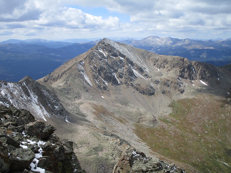
view of middle mountain to the northeast, with 14ers elbert and la plata in the distance

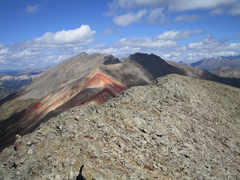
prize benchmark to the southwest
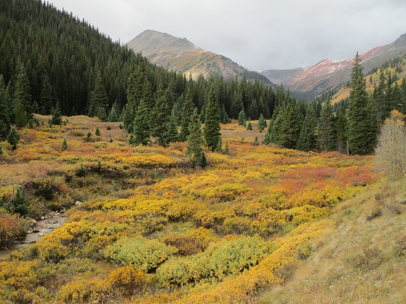
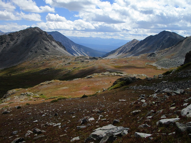
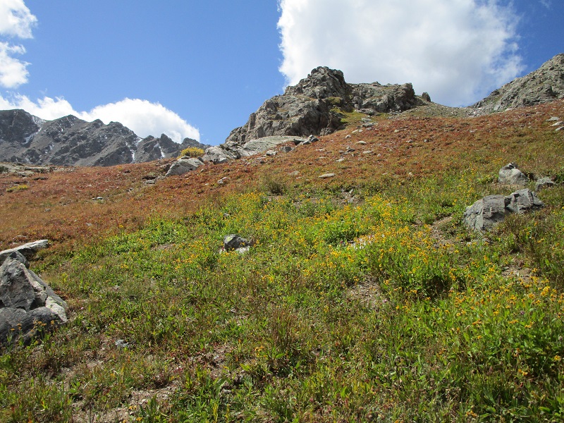
After 20 minutes I left the top and started back along the ridge but quickly decided to drop a couple of hundred feet to the south to better terrain and then made a descending traverse across a talus slope back to the west to get to the grassy slope I had ascended. It was quite scenic and beautiful when I got back down into the basin, with the golden sunshine pouring onto the tundra and willows that were turning from green to autumn yellow.
on my way back down into the basin
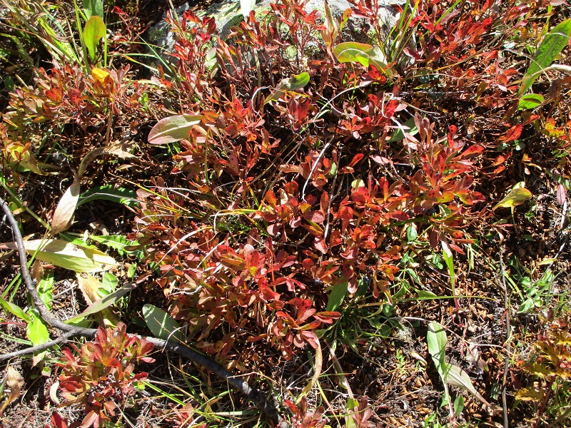
some wildflowers still remained, with winter right around the corner at this high elevation
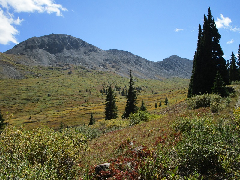
These high valley hikes above timberline are exhilarating to me, especially at this time of year. I made an easy and enchanting stroll back down the valley to the trailhead, enjoying the colorful surrounding scenery along the way.
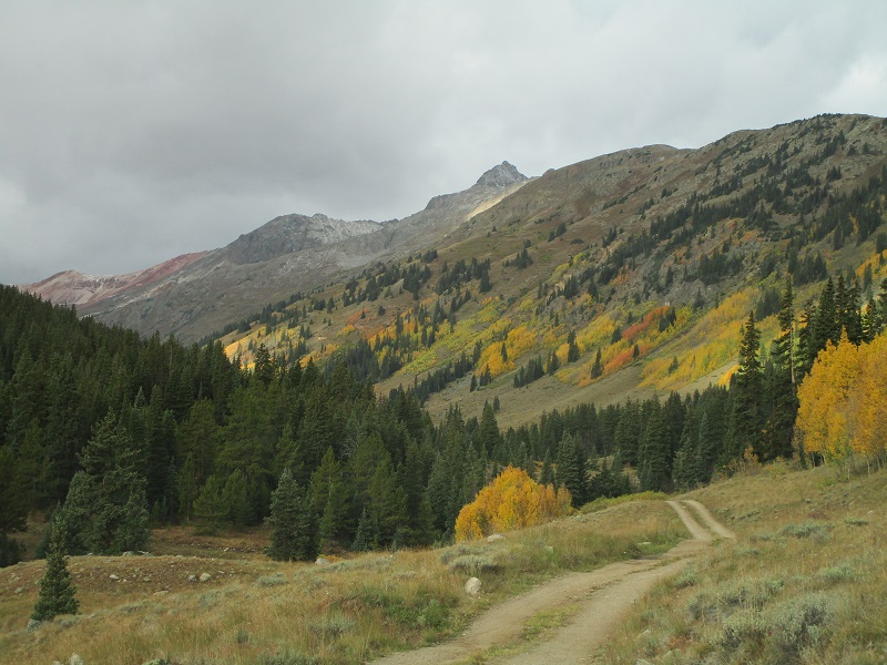
the colorful valley
I returned to the trailhead at 215. I saw no one on the hike today. There were lots of folks camping lower along FR 391 though, drawn in part no doubt by the beautiful yellow aspens in the valley on this September weekend.
some flaming aspens along the road