UN 13462A
July 5, 2017
By Tim Briese
6.2 miles, 3100’ elevation gain, 5:50 roundtrip time
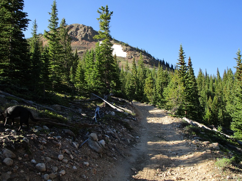
I drove to Winfield early in the morning with my lab Abby to climb this Sawatch peak. From the point where CR 390 crosses Clear Creek in Winfield I continued 0.7 miles south on the 4WD road and parked where an old mine road goes uphill to the left into Lulu Gulch. The elevation here was about 10,450’. At 735 I began hiking up the old mine road and noted that there were only a few rough spots that precluded driving up this road a ways.
on the old mine road
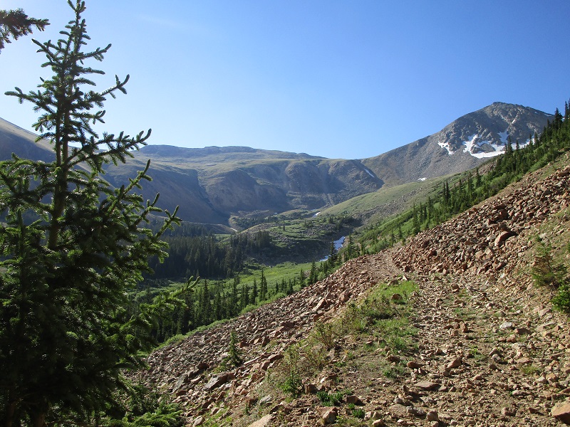
At 11,400’ I continued left on the road where a trail went off to the south. When I reached the basin at the head of Lulu Gulch I left the road at 11,700’ and bushwhacked south on mostly grass and some talus up to a bench at 12,200, aiming generally for the saddle between 13462 and Browns Peak.
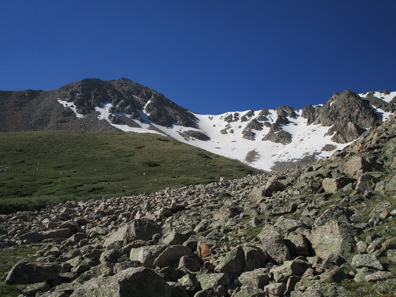
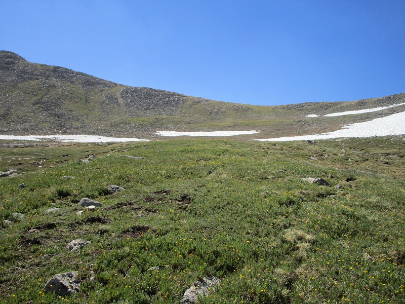
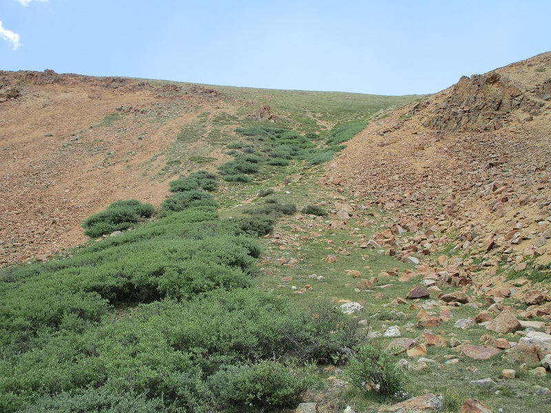
entering the basin. browns peak is to the right, and 13462 is at left center.
i left the road here and headed toward the saddle in the center between browns and 13462
i hiked up the grassy slope in the foreground, aiming for the saddle
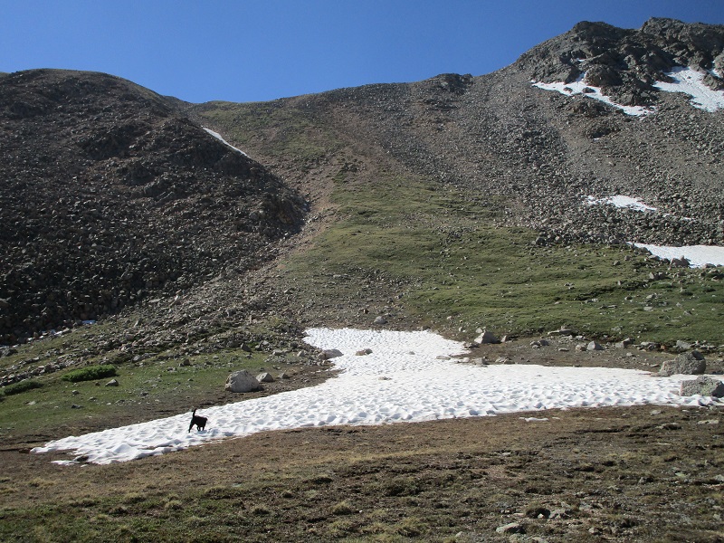
there was quite a bit of snow remaining to the north of browns peak
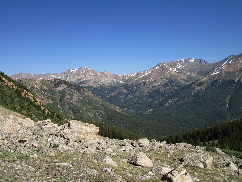
a nice view back to the northwest, with la plata peak to the right
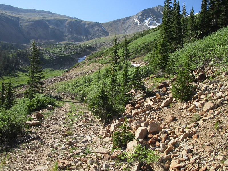
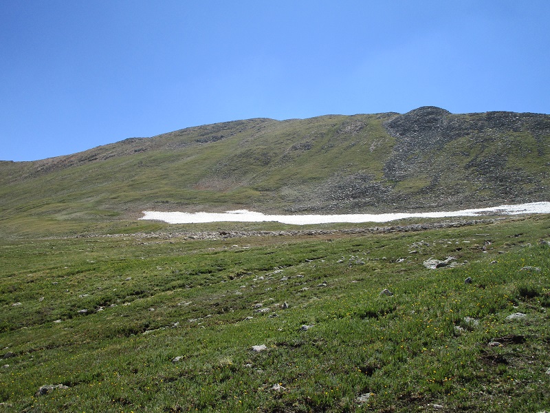
i arrived at this bench at 12,200 and headed up the slope in the center
There were rough slopes and cliffs ringing much of the basin from 12,200 to 12,800, with only 2 or 3 reasonable looking routes to the heights above. One of these was a steep grassy gully over to the east that I eyed for a possible descent route later.
I went up a steep slope on mostly grass and some scree to another gently sloping area at 12,900 below the 13462/Browns saddle.
going up the steep and somewhat loose slope
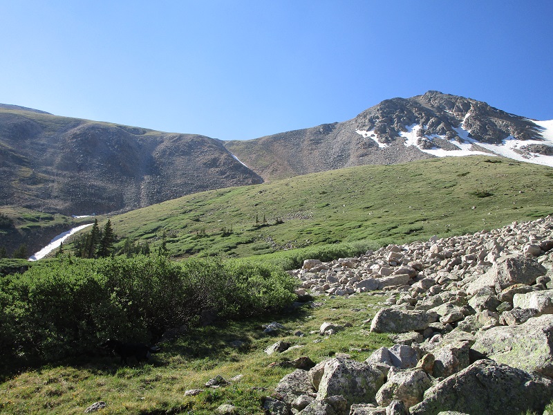
the meadow below the saddle
I did not go up to the saddle but headed directly up the relatively easy grassy slope toward 13462.
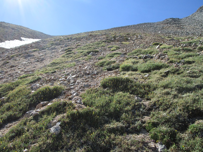
the slopes up to 13462
I arrived on top at 1050. It was a beautiful day with great views and I sat and enjoyed them for a while. Huron Peak was particularly impressive from this vantage point.
huron peak, with the three apostles to the left
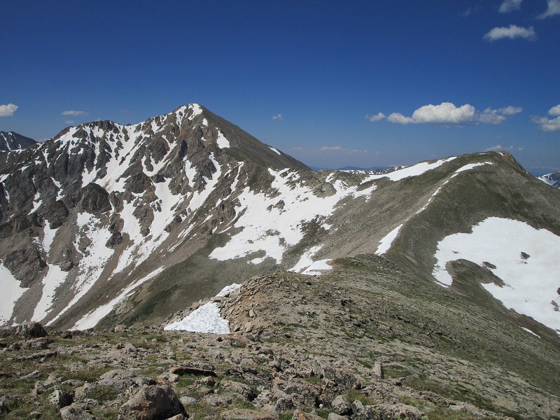
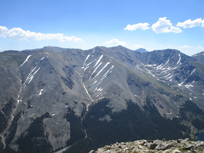
browns peak is at the right, and huron peak is to the left
view to the south up the lake fork drainage
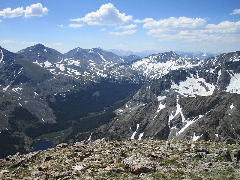
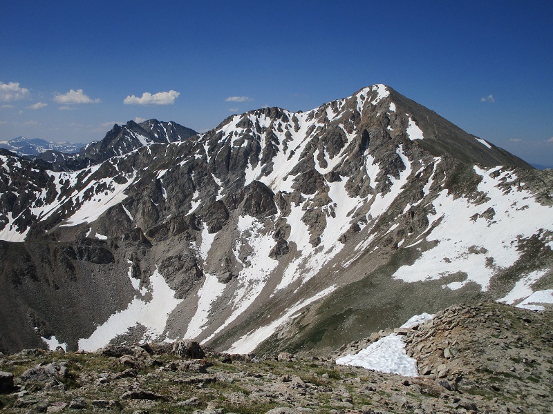
the view across the drainage to the east of Mt. Belford, to the left, Missouri Mountain at right center, and Mt. Harvard in the distance
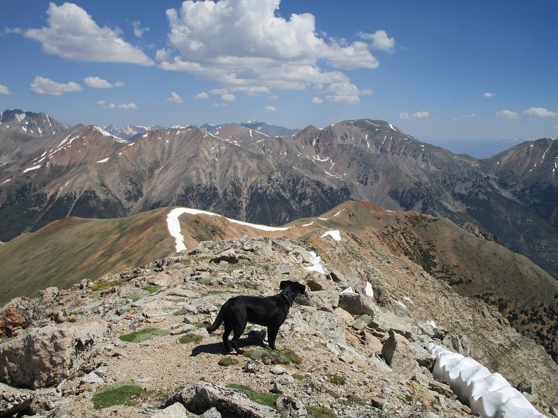
my faithful hiking companion
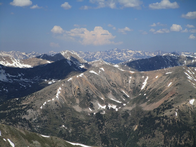
the elk mountains in the distance to the west
lulu gulch that i came up, at the bottom

Although unranked Browns Peak, Middle Mountain, and Cross Mountain lay within easy reach nearby, I was quite content with climbing only 13462 today, as it is the only ranked peak of the group and I was feeling somewhat under the weather today anyway. At 1115 I left the summit and headed north down a grassy slope and went down the steep grassy gully I had seen from below. It was steeper and rougher than it had looked, especially the lower part, but it went okay and I was back on the road at 11,900’ at 1215.
wildflowers i saw on the descent

my descent gully. it looks deceptively gentle in this photo.
I hiked uneventfully back down the road to my truck, which I reached at 125, and headed for home.