UN 11762
June 12, 2018
By Tim Briese
14.0 miles, 3800’ elevation gain, 8:55 roundtrip time
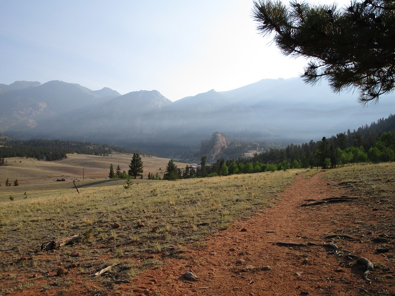
I left the Twin Eagles Trailhead at 710 am with my lab Abby and headed up the Brookside-McCurdy Trail. I have been to this 8500’ trailhead along the Tarryall Road numerous times and the trail is very familiar to me. My objective today was a good conditioning hike in a beautiful place with a climb of a ranked peak if I was up for it. I could see and smell a smoky haze in the air for a while which I wasn’t too crazy about but after a couple of hours a wind picked up which mixed it out.
a smoky haze in the air this morning. my peak is at the upper left.
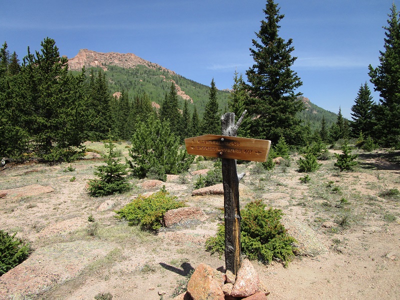
one of several signed trail junctions along the way
I clipped along at an enthusiastic pace this morning and hiked over six miles up the Brookside McCurdy Trail to 11,400 feet. At this point UN 11762 was off to the left side of the trail about 0.3 miles away.
the slope up to 11762 from the trail

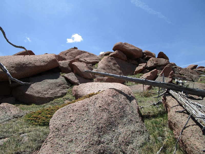
I bushwhacked up the grassy and rock-strewn slope to the boulder-laden summit ridge. I looked for a way to the highest point and found a Class 2+ route approaching the top from the southeast.
i worked my way up through the boulders to the top
I arrived on top at noon and spent a nice 30 minutes relaxing and enjoying the views of the surrounding Lost Creek Wilderness.
the trailhead is down in the tarryall river valley at right center
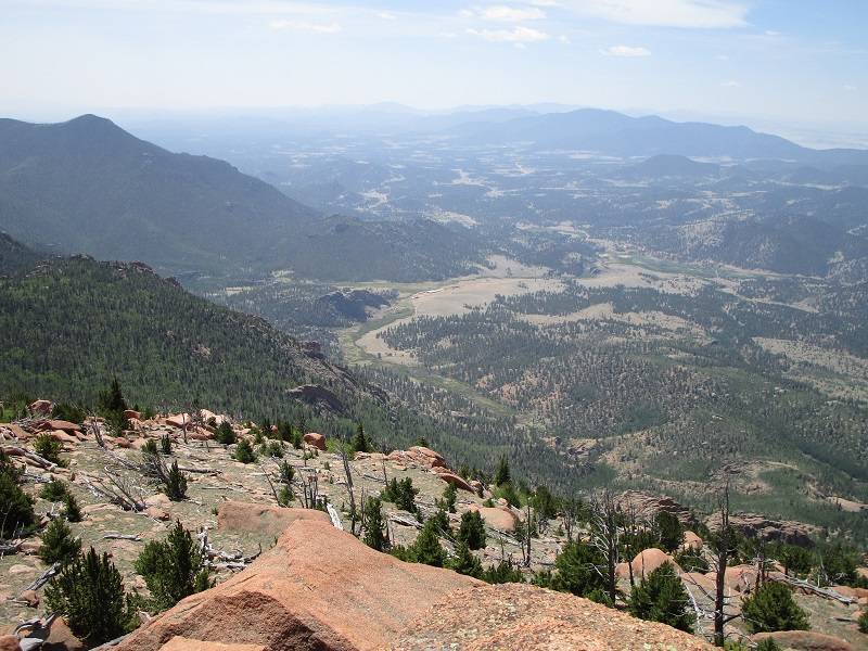
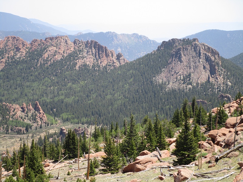
view to the south of tarryall peak, near the center
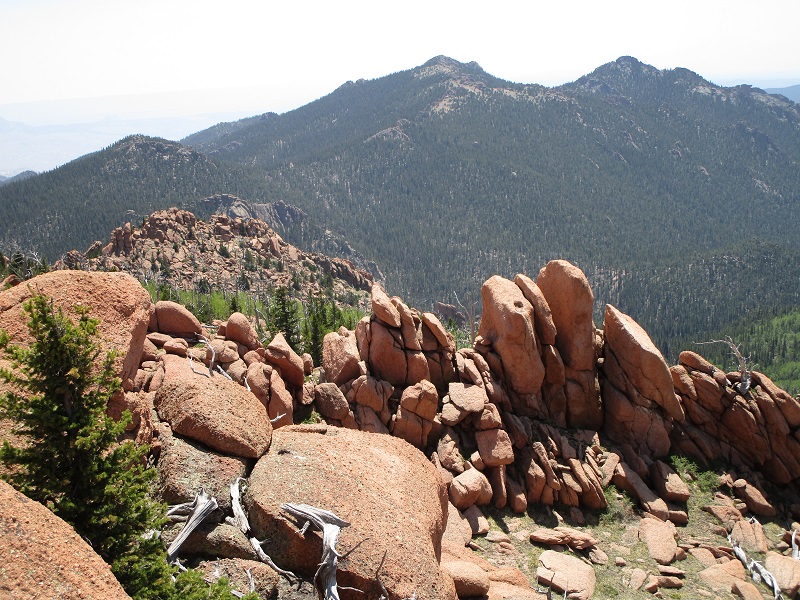
view to the east across the valley of rugged un 11460 at the left, and mccurdy park tower at the right
After this sojourn I bushwhacked back down to the trail and retraced my steps back. Thankfully a few clouds moved in and covered the sun or else it would have been a pretty hot hike back when I got lower. I got back to the trailhead at 405 and headed for home.