ANTORA PEAK
(13,269’)July 23, 2018
By Tim Briese
6.4 miles, 2600’ elevation gain, 6:00 roundtrip time
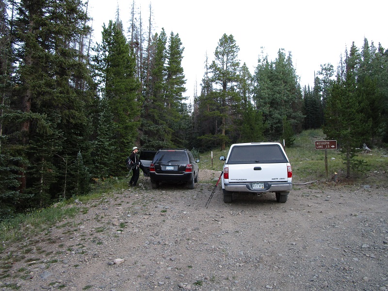
Brian and I left Salida at 5 am and drove south on Hwy. 285 to Villa Grove, where we turned west onto LL56 toward Bonanza. This is an excellent road, paved for the first few miles and then graded the rest of the way. At about 13.5 miles, just before reaching Bonanza, we turned left onto FR 861, which is a very reasonable 2WD road, and followed it about 5 miles to a sharp turn where we parked to begin the hike. At this point FR 862 continues on back to Bonanza, reputedly a rougher road best avoided. The elevation here is about 10,900 feet, and we noted a trail sign to Mosquito Lake.
where we parked to begin the hike
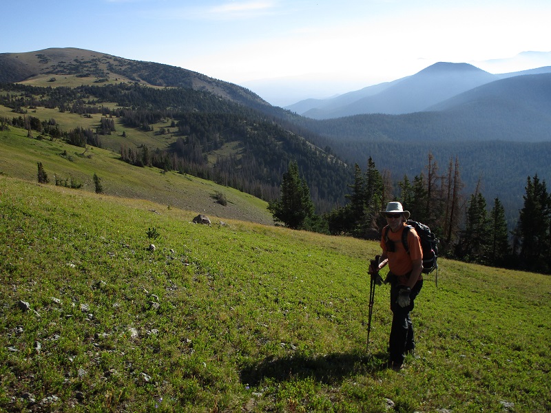
At 615 we began our climb, initially following the remnants of an old road through the woods northwest for a few hundred yards and then continued on it for a while after it swung sharply back to the south. We soon left the road and bushwhacked west up to and then along the crest of the ridge above Slaughterhouse Gulch, which lay below to our left. We found the bushwhacking to be pretty straightforward, and followed the ridge up to 12,000 feet, initially through the woods and then up tundra slopes.
brian coming up the slope
a nice view of antora from the ridge
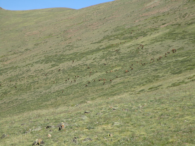
Then we did an ascending traverse across a tundra slope aiming for a 12,550 foot saddle between Antora and Sheep Mountain. There was a large herd of elk ahead of us that headed for the safety of the woods below when they saw us approaching. The weather was clear and beautiful this morning.
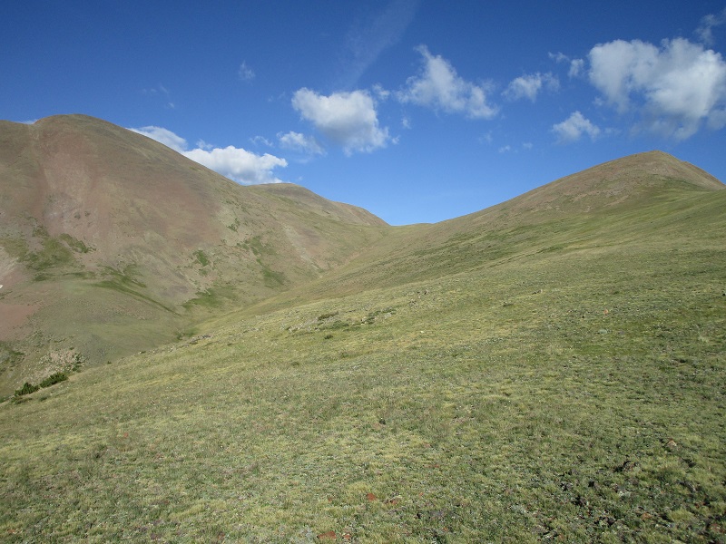
we headed for the saddle between antora, at the left, and unranked sheep mountain, at the right
the herd of elk
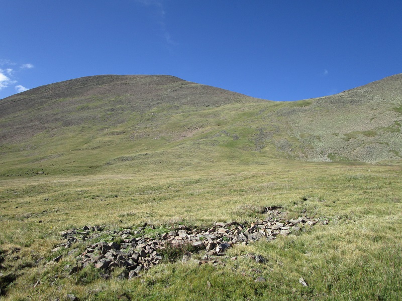
We reached the saddle at 9 am and took a nice twenty minute break. From the saddle we climbed up a grassy slope to another saddle at 12,950 feet just west of Antora.
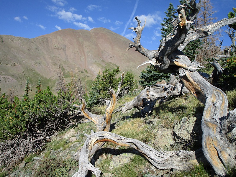
from the saddle looking up toward the upper saddle and antora, at the left
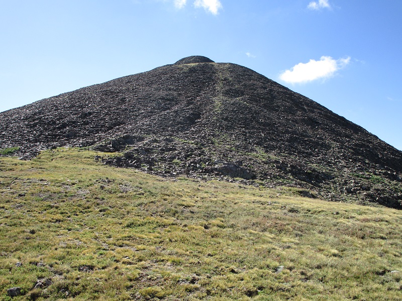
From the upper saddle we followed a surprisingly good trail up through small flat talus pieces to the top.
the upper slope to antora
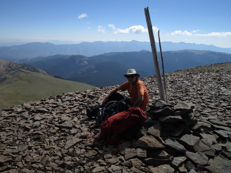
We arrived on the summit at 10. There were nice views from this vantage point, and it was a fun adventure to come visit this new place today. This is an easy and enjoyable 13er to climb, just the kind I like these days! We noted that about a dozen climbers had signed the summit register this year.
brian on the summit
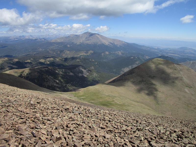
mt. ouray is in the center, and sheep mountain and the saddle are below in the foreground
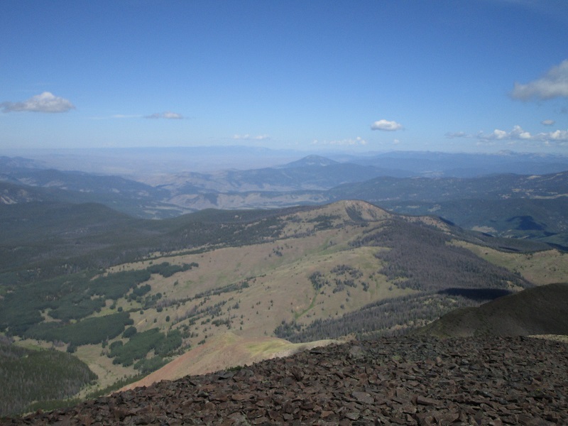
the remote country off to the west of the peak
At 1030 we left the top and headed down. We rapidly returned to the trailhead in about two hours, just as building clouds began to fill the sky.