APACHE PEAK
(13,441’)August 26, 2015
By Tim Briese
10.5 miles, 3200’ elevation gain, 9:20 roundtrip time
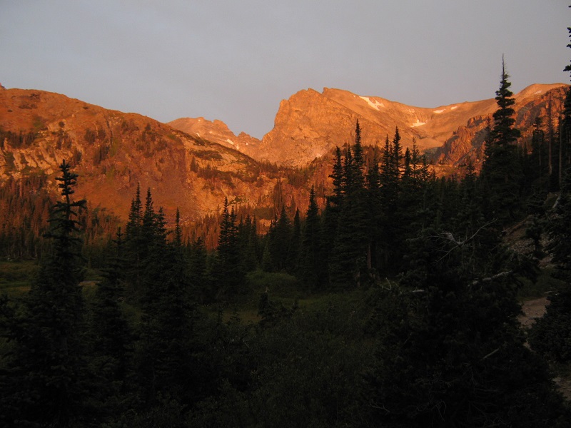
Brian and I drove to the popular Long Lake Trailhead west of Ward early in the morning and deposited the required fee in the nearby self serve pay station. The extensive parking area at this trailhead is paved and resembles a commercial parking lot. We started hiking up the Pawnee Pass Trail in the twilight with our headlamps at 555 am and soon entered the Indian Peaks Wilderness. We made good time on the excellent trail and the sun soon rose and began to shine on the surrounding peaks.
early sunlight in the indian peaks wilderness
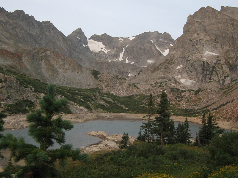
After a couple of miles we came to a trail junction where the Pawnee Pass Trail headed uphill to the right. We continued up the valley on the Isabelle Glacier Trail. We hiked past Lake Isabelle, which had a remarkably low water level. We found out later that this lake is actually a reservoir and periodically has water drained from it.
lake isabelle. straight ahead are navajo peak, to the left, and apache peak, to the right. (Photo taken later in the day)
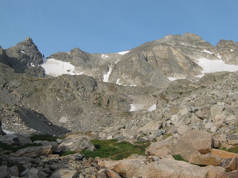
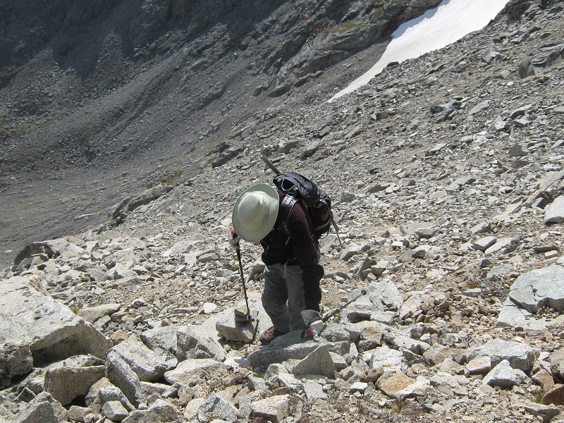
We continued up the trail until we reached a small upper lake at 11,450 feet. The time was now about 810. We left the trail, which climbed steeply uphill to the right toward Isabelle Glacier, and we continued instead up into the rugged drainage above the lake. The easy part was over now. Ahead of us was a steep 2000 foot climb through rugged terrain to the summit of Apache. We tediously climbed up a steep slope of scree, talus, and a little grass to reach a basin below Navajo at 12,200 feet.
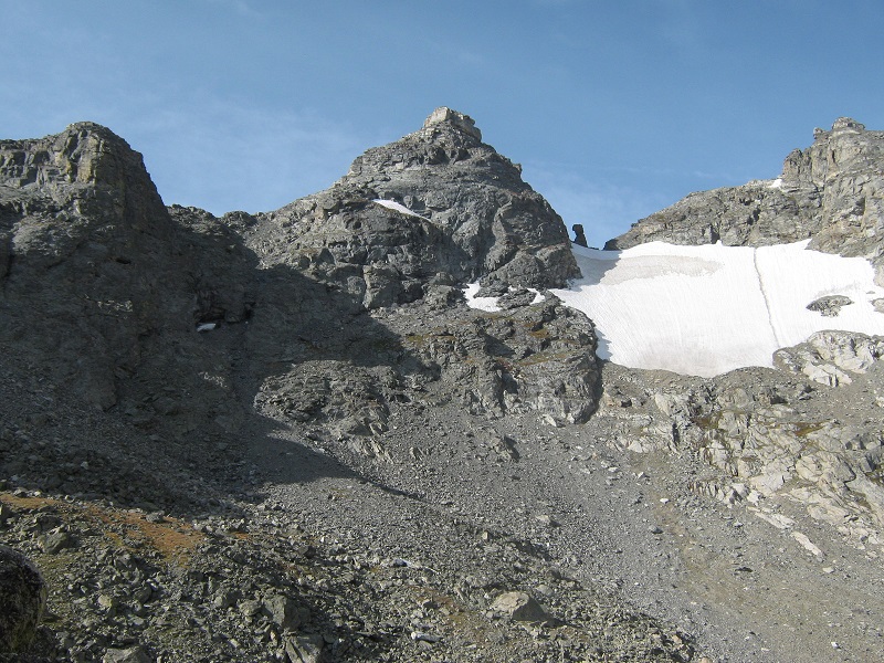
navajo peak is to the left, and apache peak is to the right. we headed up the slope at the left to reach a basin below navajo.
looking back down at the small upper lake after we had climbed above it
We had been on this route up to this point several years before when we climbed Navajo. We stopped here now in the basin for a short break and studied the route above. Then we contoured to the left across a talus slope directly below Navajo and climbed up through a slabby area on nice grassy ledges just below the Navajo Glacier.
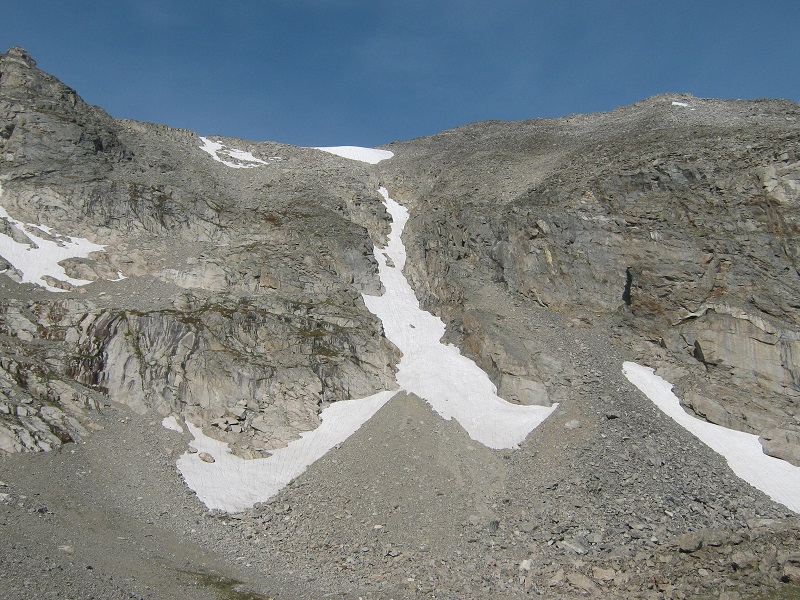
we contoured across the talus slope below navajo to the slabs at the far right below the navajo glacier.
After this we found a climbers trail of sorts that we took on a steeply ascending traverse to the northwest, where we reached the crux of the route, a class 3 scramble for about 50 feet up a steeply sloping slab that had convenient narrow ledges that made for relatively easy climbing.
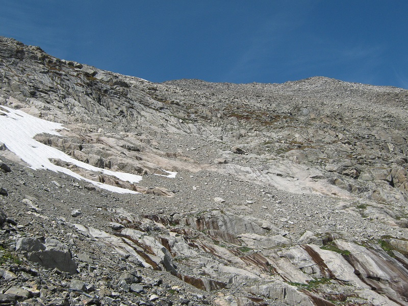
from the slabs at the far left we angled up to the right, toward the saddle in the center. apache is at the upper right.
we climbed up through this terrain to the horizontal sloping slab right in the center of the photo.
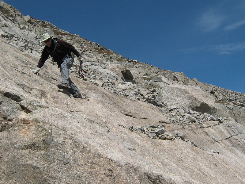
brian climbing up onto the crux slab
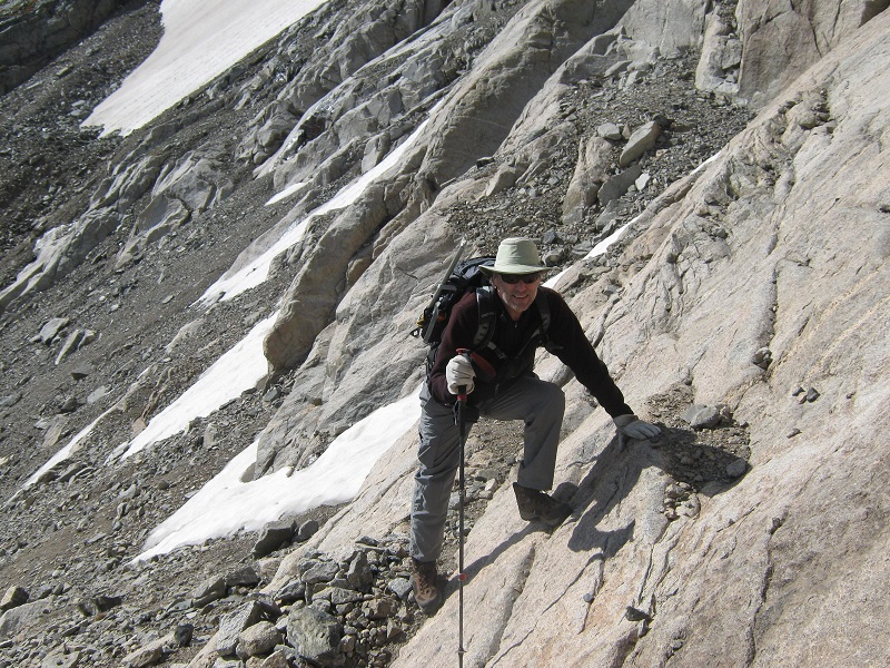
brian negotiating the crux slab (photo taken on the descent)
This was easy enough on nice dry rock, but it could have been much dicier if it were wet or covered with snow or ice. We had saved this climb for late in the summer to make sure that most of the snow was melted off these slopes. We also picked a day with a good weather forecast because we didn’t want to be doing this rugged climbing in poor weather.
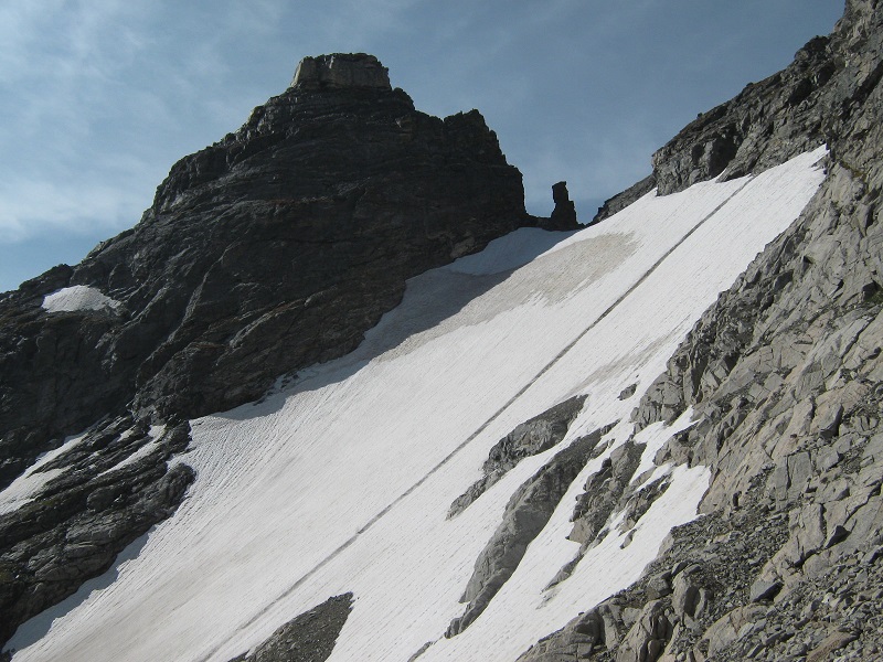
there was an impressive view of navajo peak and the navajo glacier from here.
Once above the crux we angled upwards to the right on a climbers trail and then turned left a bit and headed almost directly up toward the saddle on Apache’s south ridge. This involved a steep climb on talus and scree for several hundred feet to the 13,200 foot saddle.
brian coming up the steep talus slope. the valley we hiked up lies beyond.
on the upper slope nearing the saddle
Once we finally reached the saddle we turned right and climbed about 0.2 miles up the rocky ridge to the summit, in just over ten minutes.
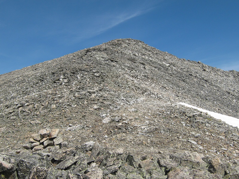
the ridge up to the summit
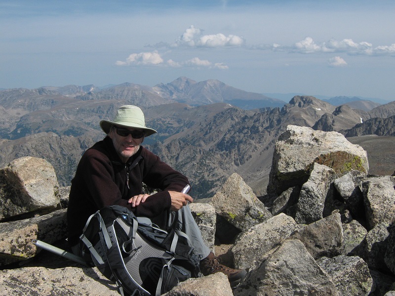
We stepped on the prized summit about 1040, and spent about 35 minutes on top enjoying the fine views of the surrounding rugged Indian Peaks Wilderness.
brian on the summit, with longs peak in the background
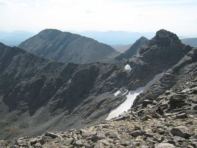
view of kiowa peak, to the left, and navajo peak, to the right
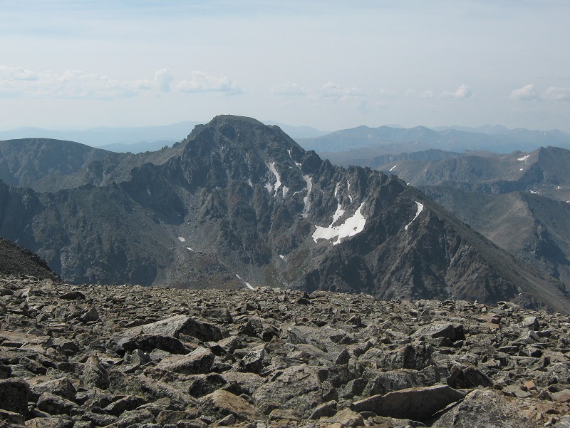
view of north arapahoe peak, to the south of us
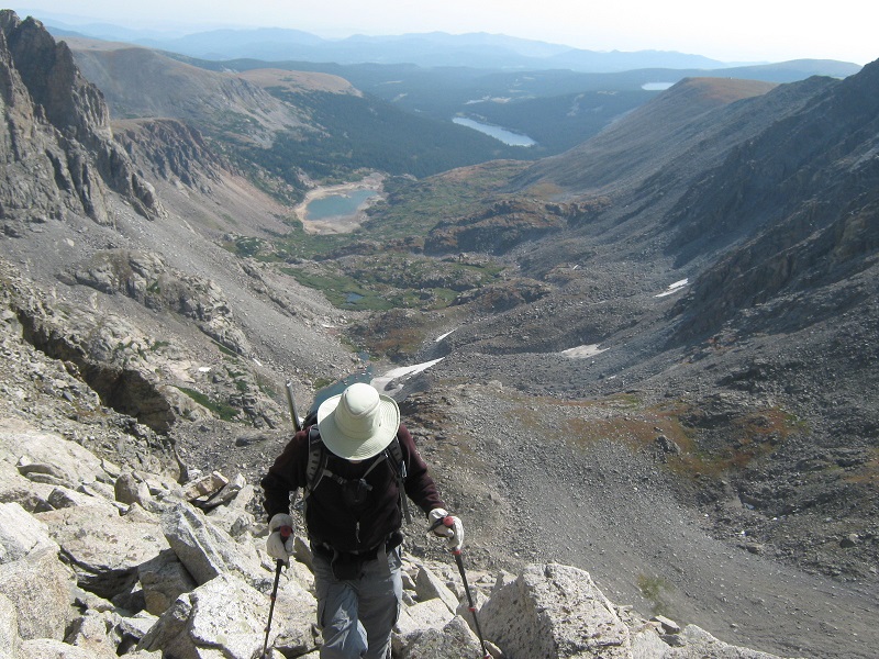
The weather was holding up nicely so far but some telltale cumulus clouds were starting to explode into the sky. At 1115 we left the top and retraced our steps back down. We stopped for a refreshing break in the upper basin at about 1230. Then we pushed on back down, and it was nice to get on the trail again down at the upper lake. As we got down lower we began to meet numerous casual hikers along the trail, for this is a very popular place. Light rain began to fall too, and we tramped back to the trailhead at 320, concluding an excellent climb of a somewhat challenging peak.