UN 13510A
UN 13162
BALDY CINCO
(13,383’)"BALDY NO ES CINCO"
(13,313’)August 16, 2017
By Tim Briese
16.1 miles, 4700’ elevation gain, 11:30 roundtrip time
The afternoon before the climb I drove to Lake City and continued on Highway 149 to Spring Creek Pass, and found a nice spot to truck camp in the woods off a dirt road near some corrals about a half mile south of the pass. When I arose at dawn the next morning it was a chilly 30 degrees and frost coated my truck. I drove to the trailhead parking lot at the 10,900’ pass and embarked east on the Colorado Trail from the pass with my lab Abby at 620 am.
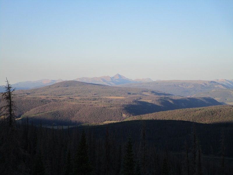
rio grande pyramid stood out like a sentinel on this clear morning
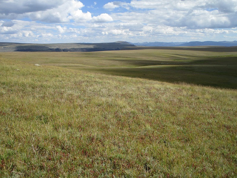
I briskly hiked up the excellent trail and at 730 arrived on Snow Mesa, at 2.0 miles. The elevation here was 12,300’. Snow Mesa is an incredible place, a vast area of gently sloping tundra stretching for several miles as far as the eye can see. Baldy Cinco and Baldy no es Cinco were visible a couple of miles away to the northeast. There are few landmarks on this vast tundra plain and I would recommend setting GPS waypoints if one leaves the trail and wants to find their way back to the same spot.
the colorado trail heading across snow mesa
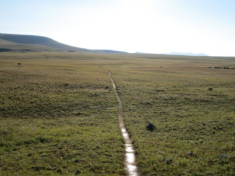
snow mesa
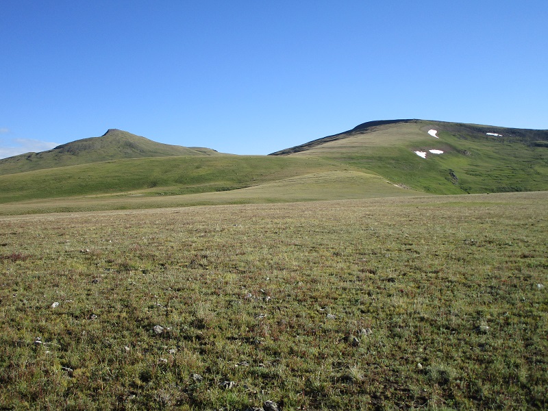
baldy cinco is to the right, and baldy no es cinco is to the left
I rapidly cruised eastward on the excellent Colorado Trail all the way across the mesa, finding a few minor ups and downs along the way. I encountered several parties of young backpackers who were heading west on the trail, some of whom mentioned that they were hurrying to catch a shuttle at Spring Creek Pass. Eventually the trail swung around to the north toward a saddle between 13510A and 13162. I reached the 12,600' saddle at 945, 6.4 miles into the hike. After a 15 minute break I headed north toward 13510A. The start of the ridge up to the peak is very gnarly but I easily bypassed that by continuing about a quarter mile east on the Colorado Trail as it contoured across a talus slope, then I left the trail and climbed up a nice grassy slope back up to the ridge and continued on up to the summit. The 900 foot climb from the trail up to the summit was very reasonable.
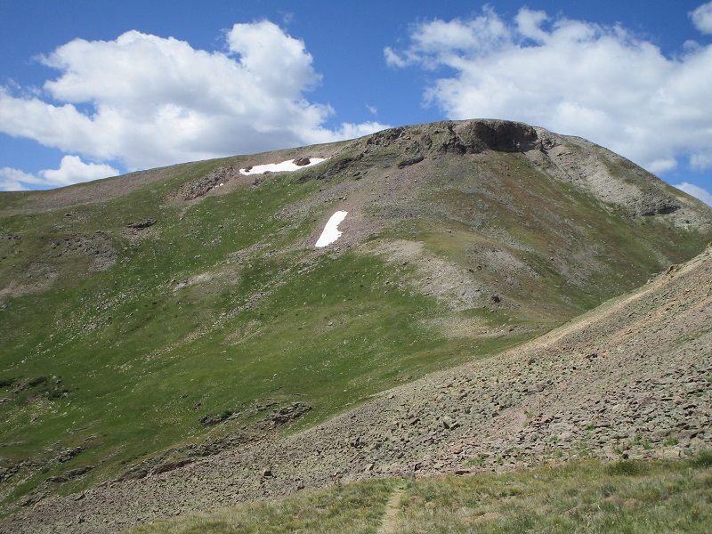
i hiked the trail to the saddle at the left, contoured to the right below the cliffs, then went up the grassy slope at the right toward 13510a, in the center background
the upper part of the ridge to 13510a
I arrived on top at 11 am, at 7.4 miles. There were nice views on this pleasant morning and I studied the long ridge of peaks that I would soon engage. This string of peaks could be run in either direction but I chose to tackle them from east to west because 13510A was my top priority, being the highest of them and a Tri, and I wasn’t sure that the good weather and my energy would last for all four of them.
13162 is at the far left, baldy cinco is at right center, and baldy no es cinco is just to the right of that
13162 from 13510a
After a fifteen minute break I hiked back down to the saddle and headed up the slope on the other side up to 13162, angling to the left on steep grass to avoid rough terrain on the ridge proper.
approaching the saddle between 13510a and 13162. i angled up to the left on the grass then turned right to the summit.
I arrived on 13162 at 1245, at 9.2 miles. The ridge over to Baldy Cinco, the next peak, looked easy but long, and I was starting to tire. Fortunately the weather was looking very nice yet, which is really helpful for this hike because the route is above timberline nearly all the way.
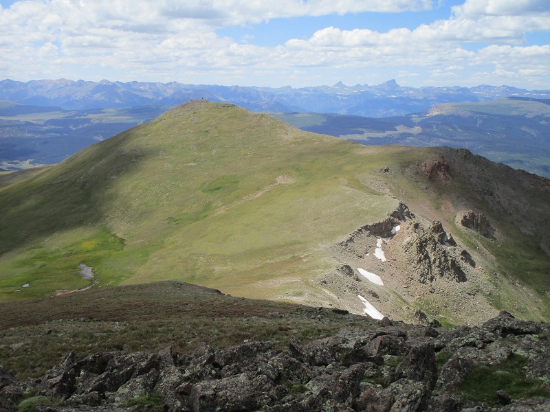
the summit of baldy cinco is at the right
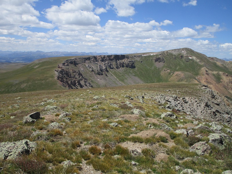
looking back at 13510a from 13162
After another 15 minute break I hiked west down to a 12,700’ saddle and continued on to Baldy Cinco, finding nice grassy terrain most of the way.
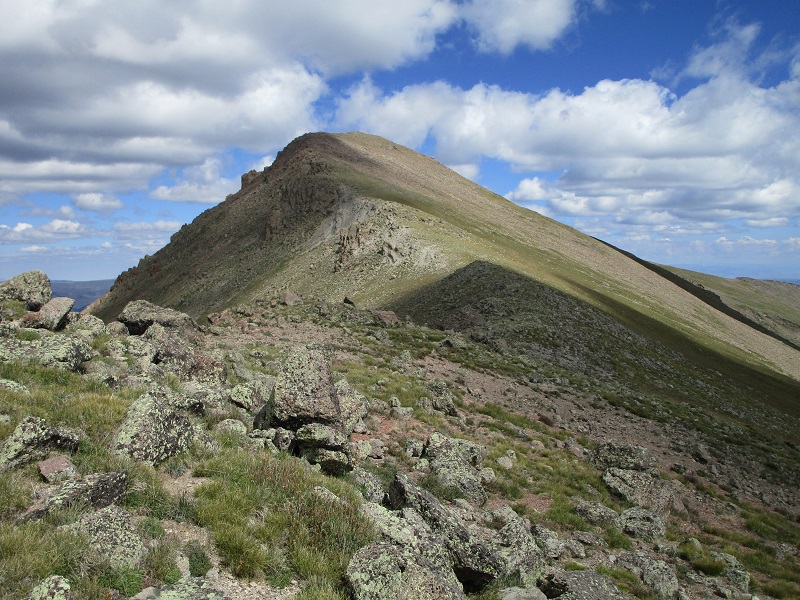
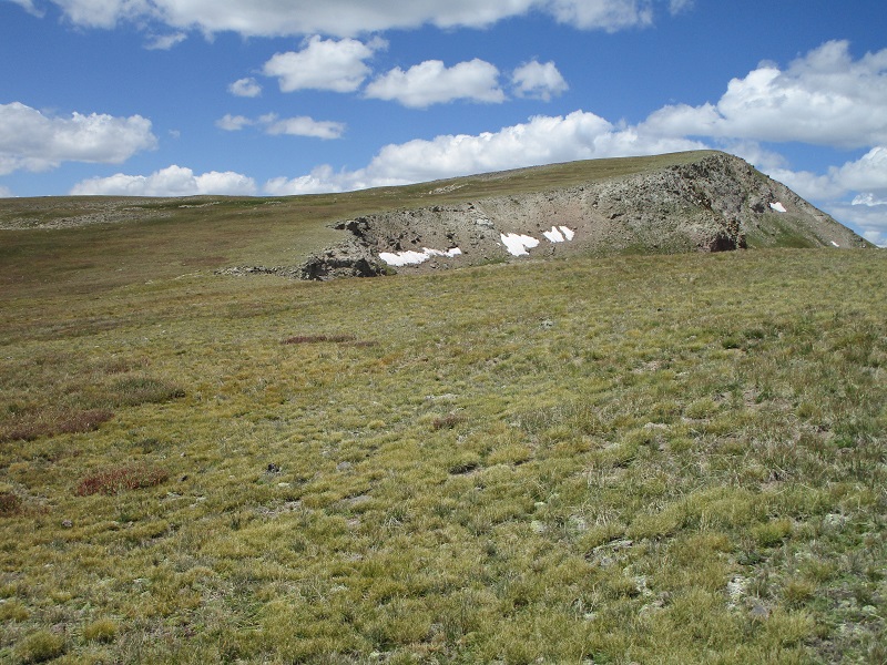
the slope up to baldy cinco
I arrived there at 220, at 10.8 miles. I cast a weary gaze over at Baldy no es Cinco, and after another GU, decided that I could somehow summon the energy to climb it too.
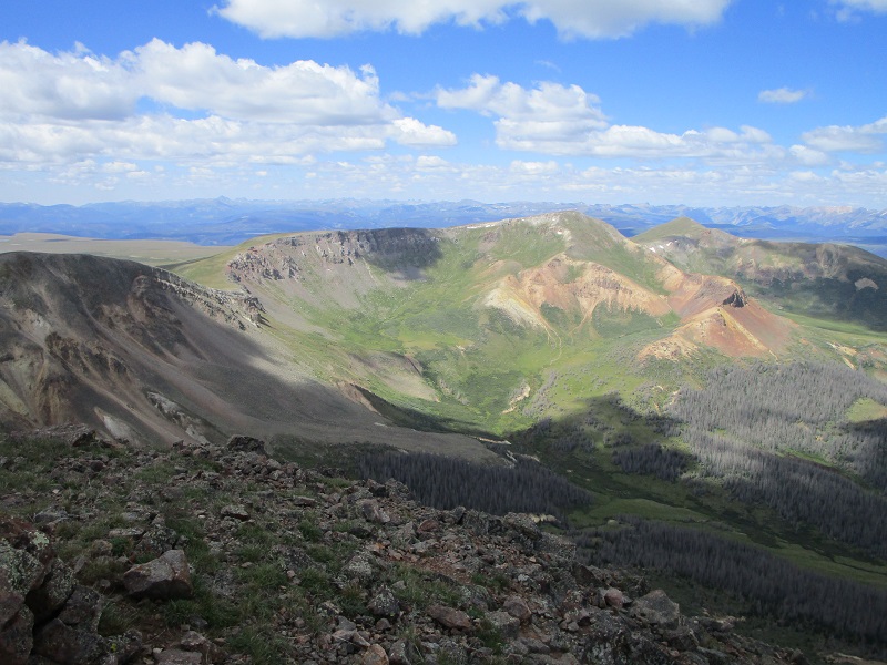
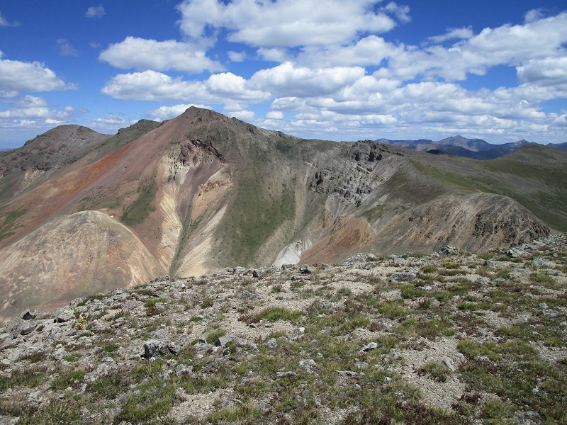
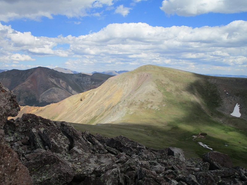
view of baldy no es cinco from baldy cinco
looking back from baldy cinco at 13510a, at the left, and 13162, at the right
After another 15 minute rest I headed down the rather steep slope to the 12,950’ saddle between the peaks and climbed the 400 feet of gain up to Baldy no es Cinco.
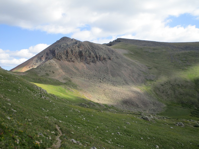
the slope up to baldy no es cinco from the saddle
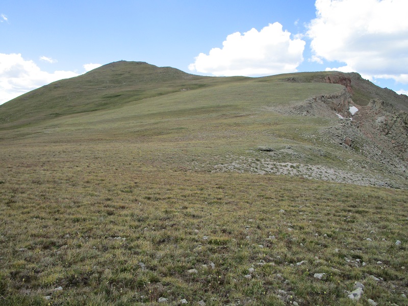
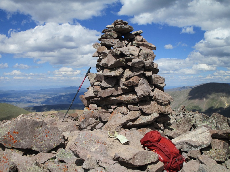
I arrived there at 315, at 11.6 miles. There was a gigantic cairn on the summit, and perhaps the nicest views of any of the four peaks I did today.
the huge cairn on the summit of baldy no es cinco
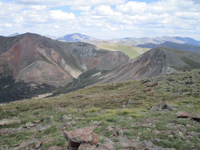
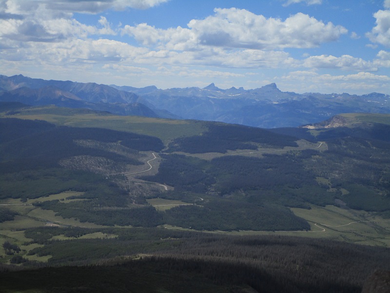
one of the nice views from the summit

uncompahgre and wetterhorn peaks are spectacular san juan landmarks that i have been blessed to see from many vantage points
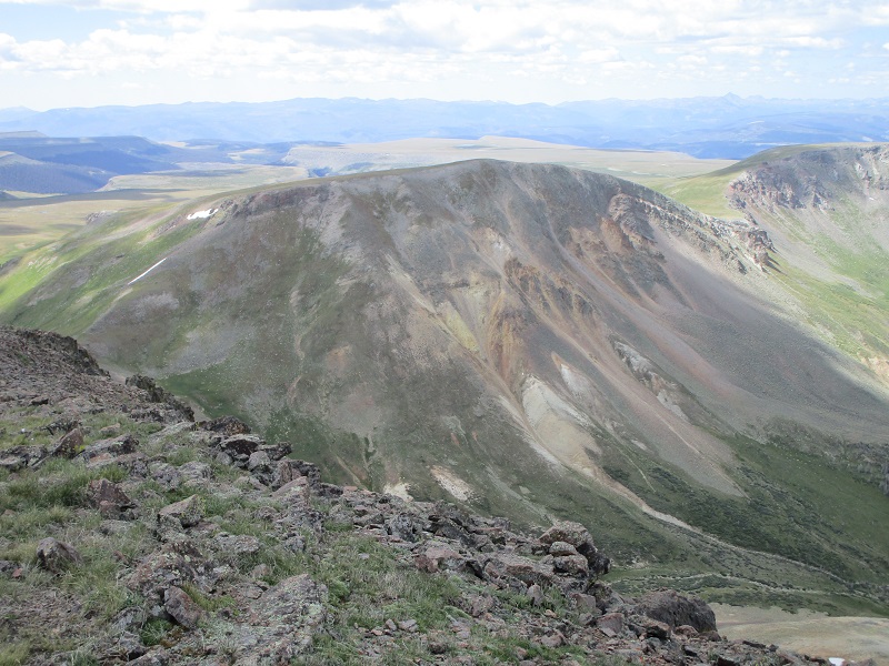
looking back at baldy cinco, and 13510a, in the shade at the left. it looked a long ways away.
After a 10 minute break I headed southeast then south down across grassy slopes back out onto Snow Mesa. I almost became disoriented on the vast mesa in my tired state. In poor visibility this could definitely be an issue, although if you just keep going south you will eventually come across the trail because it goes east-west all the way across the mesa. The trail was a long two miles away, much further than it seemed it should be. There is a drainage south of Baldy no es Cinco that slopes off the mesa to the west that an unwary hiker could be tempted to follow.
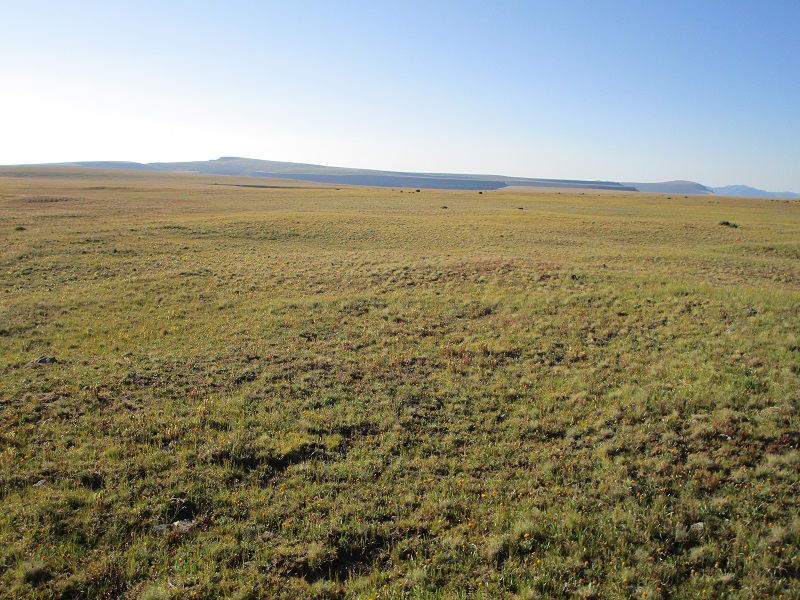
bushwhacking back across snow mesa
I finally reached the trail at 440, at 13.6 miles.
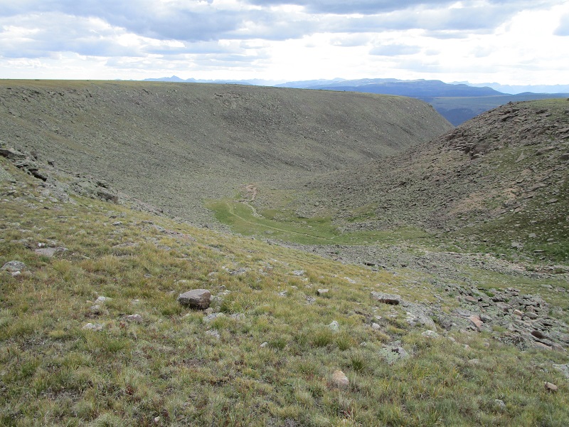
this is the correct drainage off the mesa that the colorado trail goes down
After a quick break I marched back down to the trailhead where I arrived a little before 6. Abby looked as tired as I was. I loaded up and headed down the highway to South Fork where I spent the night.