BOULDER MOUNTAIN
(13,524’)July 23, 2014
By Tim Briese
8.1 miles, 2800’ elevation gain, 6:00 roundtrip time
This 13er southwest of Buena Vista was supposed to be a relatively easy climb but it turned out to take a bit more effort than I expected. Brian and I left Buena Vista about 630 am and fourwheeled up the Baldwin Creek Road in my truck. I had been up this road several times before on other climbs in this area but it seemed narrower, steeper, and rougher now. When we reached the familiar intersection at about 10,800 feet we turned right on the rough 4WD road to Baldwin Lake. The plan was to four wheel up this road to 12,000’ or higher as I had done a few years before when I climbed Mt. Mamma, but the road turned out to be very rough and rocky now, so after going no more than a quarter of a mile up the road I deemed it too rugged for the well-being of my Tundra and elected to drive no further on it. All of a sudden a short simple climb became a much longer one. Like maybe 4 miles longer or so, with an additional thousand feet of elevation gain. If we had known this would happen it might have been easier to climb Boulder by walking up an old mine road that goes up the peak’s northeast slopes from a point lower on the Baldwin Creek Road.
At 7:35 we left the truck at about 11,000 feet and started plodding up the rough old Baldwin Lake road on foot. After making a brief wrong turn to the right on another mine road at 11,800 feet, we hiked on the road all the way up to an old mine at 12,600 feet.
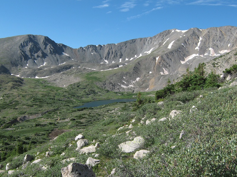
a view of baldwin lake as we ascended
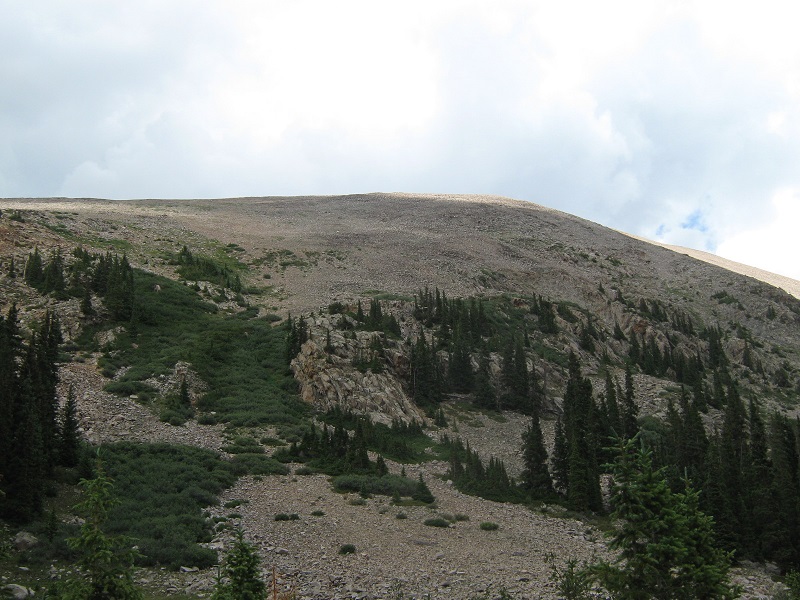
From the end of the road at the mine we headed north up a talus and grass slope to reach a ridge at 13,150', just to the east of Mt. Mamma.
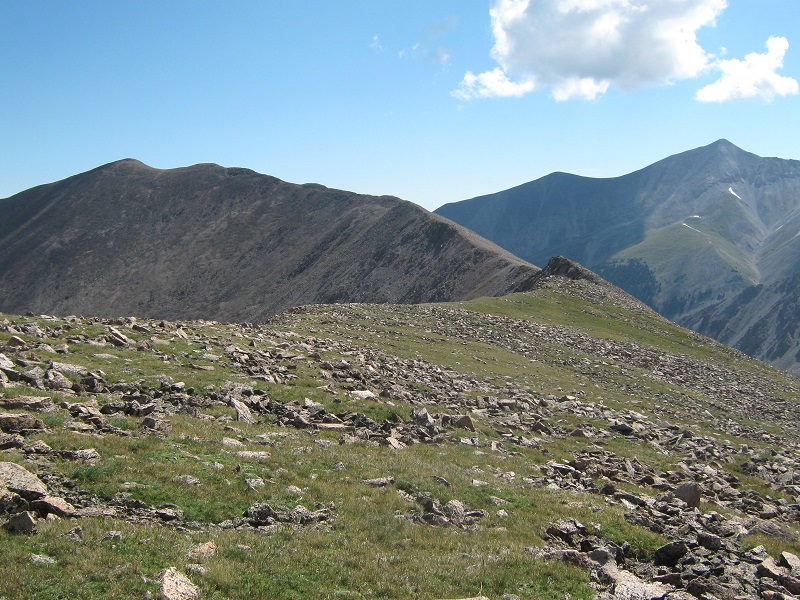
the slopes up to mt. mamma

There we turned to the right and followed the long ridge toward Boulder Mountain, which lay about a mile and a half away.
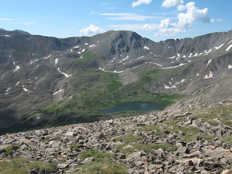
the ridge to boulder mountain, whose summit is at the left. mt. antero is to the right
view of baldwin lake in the valley below
We dropped down to a 13,000 foot saddle, hopping across a lot of talus near the saddle, and then started ascending toward Boulder.
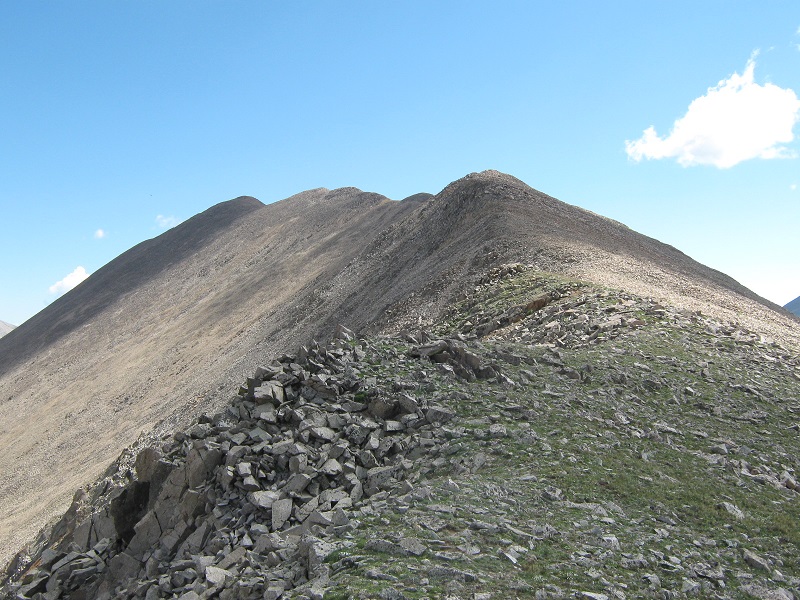
the ridge up to boulder's summit
After going up the ridge a bit we could see that the weather was rapidly deteriorating so we hurried along. We were enticed to follow a faint trail across the annoying talus slope just to the left of the ridge crest but it was more trouble than it was worth. This ghost trail could be seen from a distance but when we were actually on it it was so faint that it was hard to follow. We stepped on the summit at about 11:25 and stayed for only ten minutes because dark clouds were rapidly building up around us.
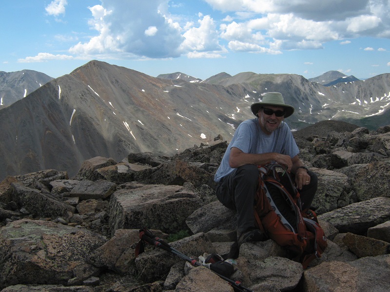
brian on the summit
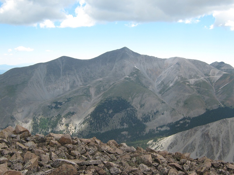
mt. antero
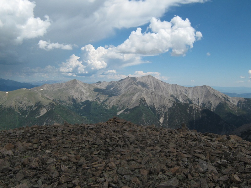
mt. princeton
We hiked back down the ridge rapidly, electing to stay on the crest of the ridge this time, which went pretty well. We decided to try a descent directly down to the south from the saddle on unknown terrain in order to get lower quickly. From down below this slope had looked steep and rugged but we managed to find a route down on scree, talus, and a little grass, avoiding occasional cliffy areas.
the slope we came down. It is steeper than it looks in this photo.
We bushwhacked down through willows and trees through steep and rocky terrain to the road as thunder rumbled and sprinkles of rain fell. We clipped down the road to the truck and arrived there about 1:40. We slowly went back down the rough and narrow Baldwin Creek Road and it was nice to finally get back on better roads below. After dropping Brian off in Buena Vista I headed for home, completing a fine three days of mountain climbing.