BRINS RIDGE, SEDONA ARIZONA
(5527’)February 5, 2012
By Tim Briese
6.2 miles roundtrip, 1500’ elevation gain, 4:20 roundtrip time
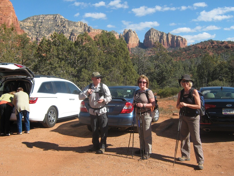
My wife Teresa and I visited Sedona for a couple of days with friends Hal and Linda and we checked out a couple of hikes while were there. The first was the Soldier Pass/Brins Mesa loop trail a couple of miles north of town. We parked at the busy trailhead, at about 4400 feet elevation, and headed north around noon on the excellent trail up Soldier Wash through a sparse forest of Arizona cypress.
at the soldier pass trailhead
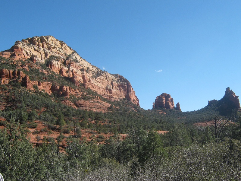
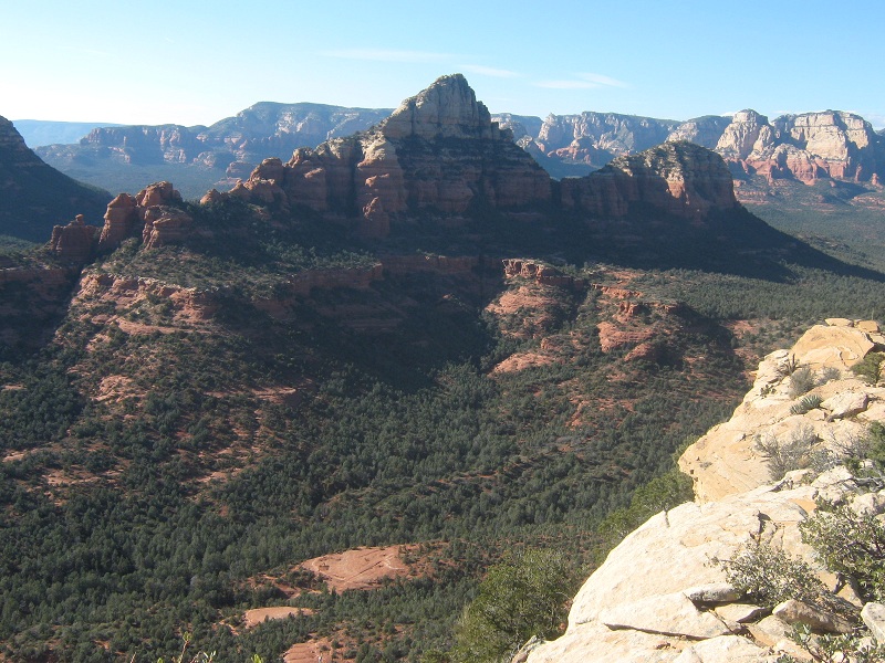
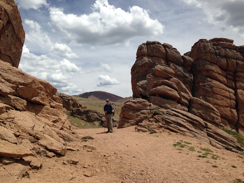
There were nice views of scenic redrock formations towering above both sides of the valley. There were numerous casual hikers along the early part of the trail but they thinned out the farther we went. About a mile and a half up the trail we stopped for lunch and enjoyed a fine vista of Brins Ridge towering above the valley to the east. I half jokingly remarked that I would like to climb up there to see the remarkable views from the top.
brins ridge is at the upper left
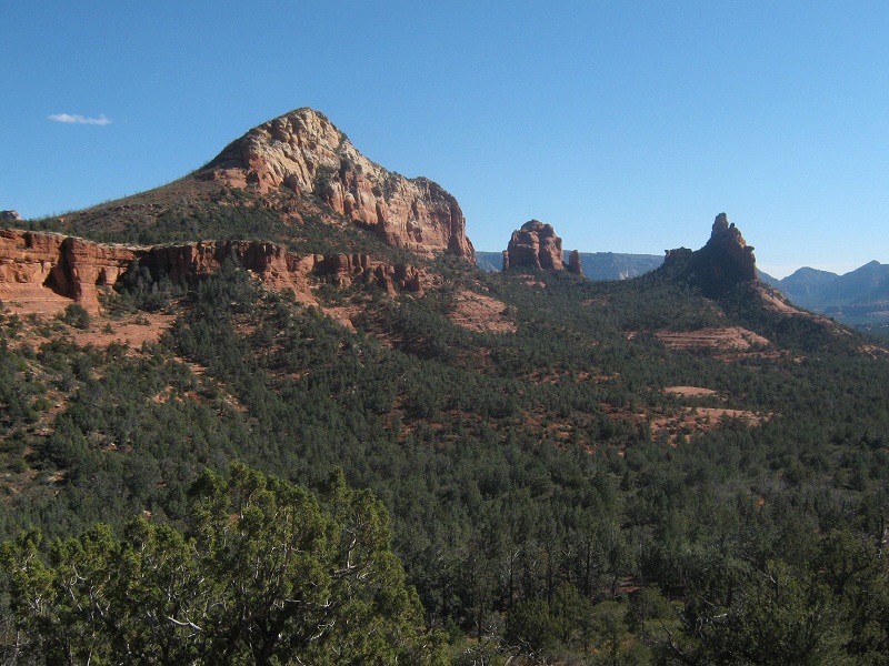
We continued another half mile up the trail to a saddle at the head of the valley known as Soldier Pass.
looking down the valley from soldier pass; brins ridge is the peak at the left
We went another quarter mile east to a junction where the trail connected with the Brins Mesa Trail, where we turned right to continue the loop hike. We were circling around Brins Ridge and I eyed it for a possible ascent route. The steep northeastern slope was laced with cliff bands but it looked like it might go. I proposed to Hal that he and I attempt to climb it while the girls continue on down the trail and he eagerly agreed. It would be about a 600 foot climb to the summit from where we were.
view of brins ridge from the north

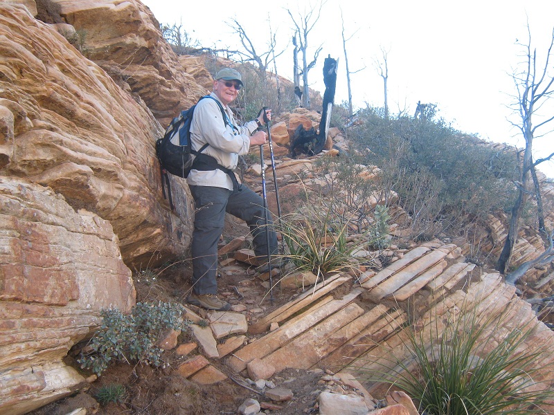
We bushwhacked southwest through low bushes and selected a possible route to the top, unsure of success. As the slope steepened we happened upon a climbers trail that quickly dispelled the ridiculous fancy that maybe we were the first to climb this summit. The trail took us neatly up through the cliff bands to the narrow summit ridge.
on the route up through the cliff bands
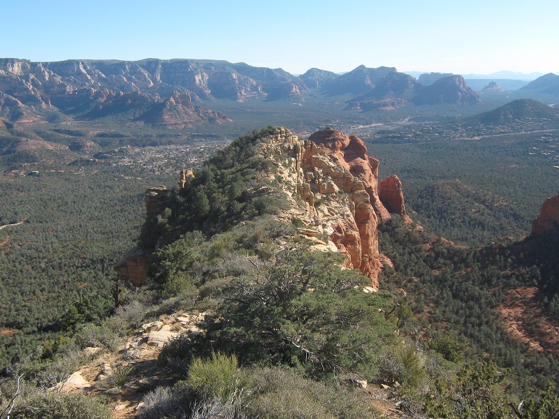
After a bit of minor exposed scrambling on the ridge we stood on top, about 30 minutes after we had left the main trail below. We were shocked to meet another hiker, a young Asian, just leaving the top. The views were amazing from this vantage point on this beautiful February day.
on the summit ridge

view to the northwest
view to the southeast
the view south along the summit ridge; Sedona lies in the valley beyond.
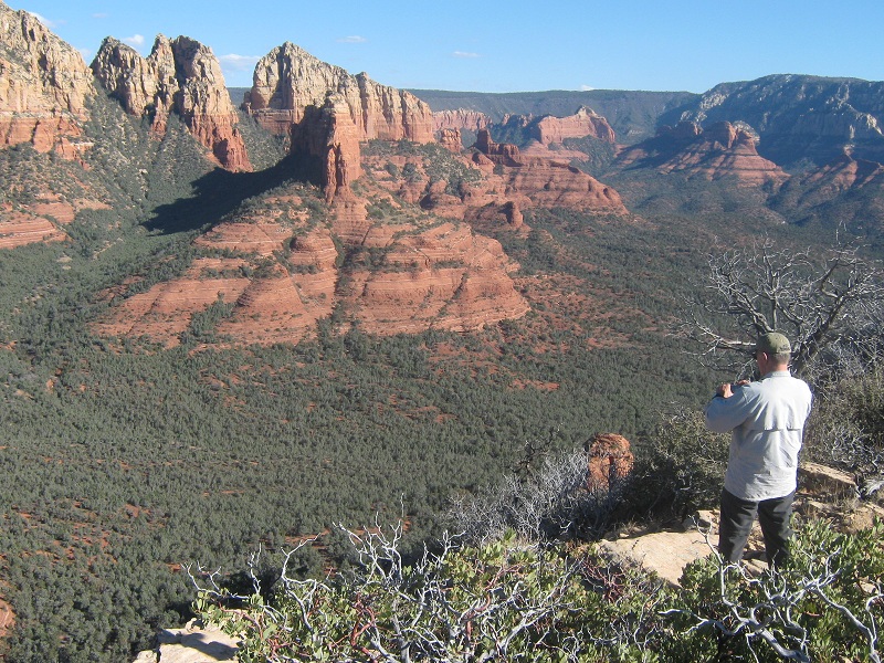
We looked down at a tour helicopter flying below us up the valley. It was hard to tear ourselves away from this incredible place but after half an hour we left and hiked quickly back down to the Brins Mesa Trail and followed it down the valley, admiring the scenery along the way.
scenery along the trail
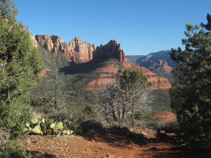
more of the scenery for which Sedona is famous
Upon reaching the Brins Mesa trailhead we turned right on the Cibola Pass Trail and followed it back to the car. Along the way we met a fellow who asked why we weren’t home watching the Super Bowl, and we responded "What Super Bowl?!" We tramped back to the car at 4:40, about 15 minutes behind the girls, and headed into town for dinner.