BRONCHO MOUNTAIN (12,834’)
July 20, 2020
By Tim Briese
7.8 miles, 2900’ elevation gain, 7:30 roundtrip time
Brian and I took CR 76 off of Hwy. 50 east of Gunnison to Ohio City where we turned north onto the Gold Creek Road (FR 771) and followed it about 6.5 miles to the Gold Creek Trailhead. The Gold Creek Road was excellent except where it got a little rough at the very end. There was no one else at the spacious trailhead parking area when we arrived and a few minutes after 6 am we embarked on the trail to Lamphier Lake, immediately entering the Fossil Ridge Wilderness Area. Our starting elevation was about 10,100’.
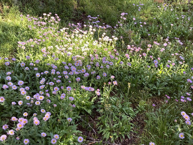
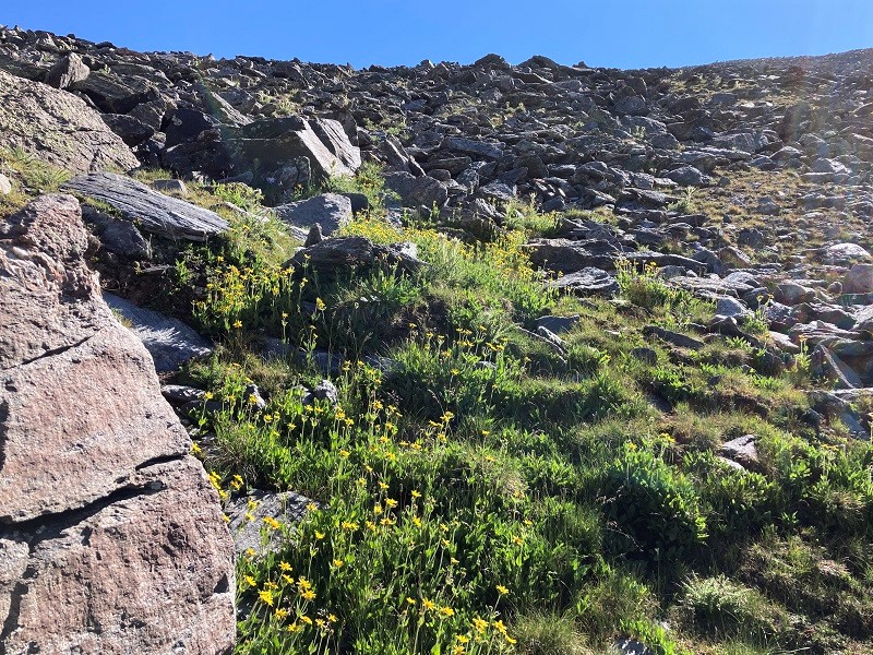
wildflowers along the trail
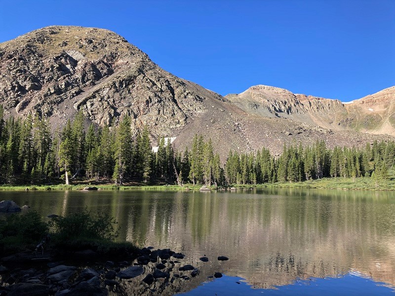
Along the trail we saw a large pack leaning against a tree that looked like it could belong to a search and rescue person or a NFS worker but curiously no one was around. It was gone later on our return so the incident remains a mystery to us. After 2.7 miles we reached beautiful Lamphier Lake, at 11,700’, and paused a few minutes for a break.
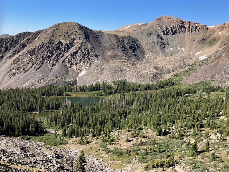
lamphier lake, with fossil mountain at right center
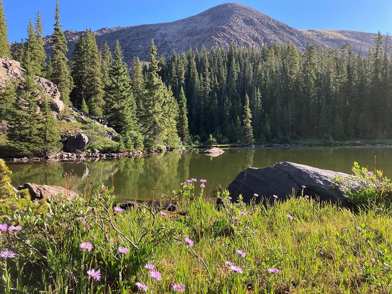
a scenic pond just northeast of lamphier lake. broncho mountain is at the far upper right.
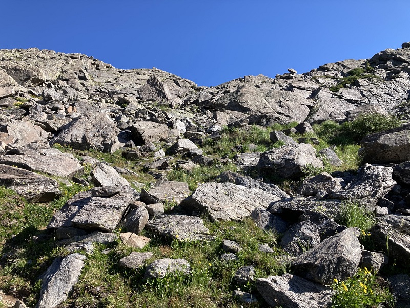
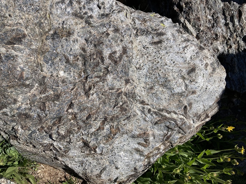
Then we resumed the climb on the trail that continues up to Gunsight Pass. The trail beyond the lake appeared to be only lightly used but was well marked with cairns. It took us up through a rough rocky area with boulders as we approached the pass, and there were several interesting boulders along the trail with numerous fossils embedded in them.
the rocky terrain as we approached gunsight pass
fossils in a rock
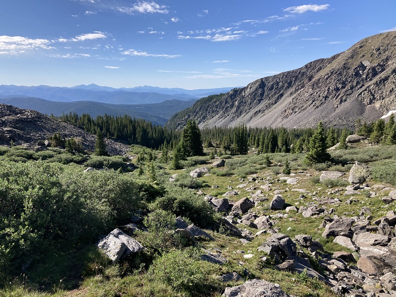
a scenic view back to the south
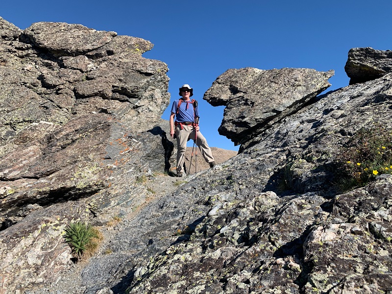
About 0.6 miles from the lake we reached the 12,167’ pass, a slight notch through the rocks unlike almost any other pass I have seen in Colorado.
gunsight pass. photo by brian schultz
lamphier lake from near gunsight pass
Broncho Mountain lay up the ridge to the east but passage along the ridge crest was not feasible from the pass so we dropped back down a hundred feet and climbed a talus slope to the south of the ridge and regained the ridge crest higher up.
we headed up this talus slope
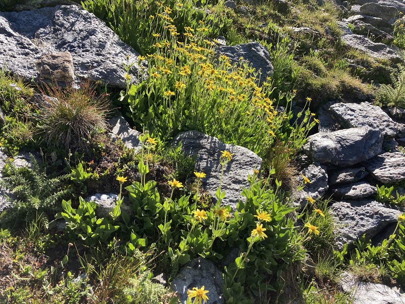
flowers along the way
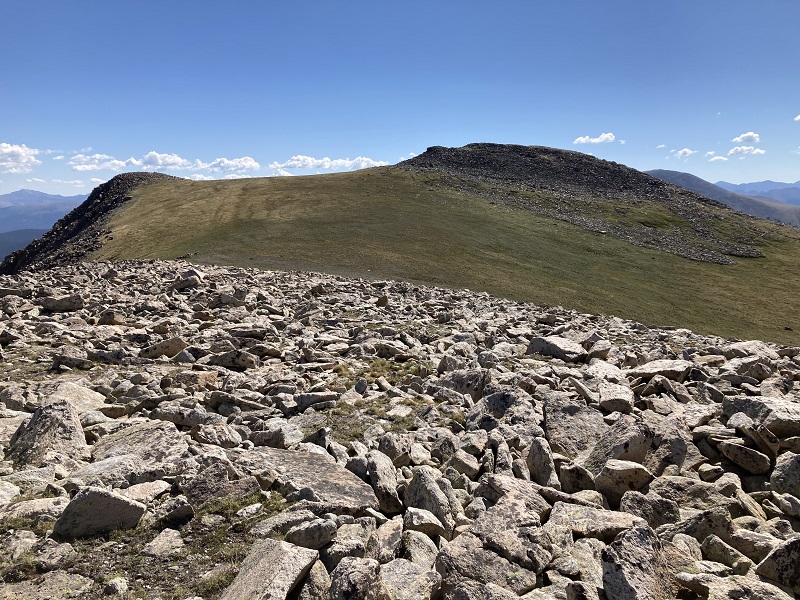
The talus work was tedious but eventually the terrain eased up and we hiked over a false summit and continued a quarter mile across mostly tundra to the summit of Broncho.
approaching broncho, from the false summit
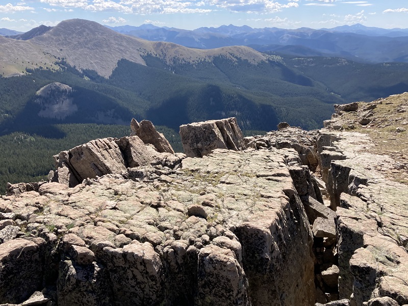
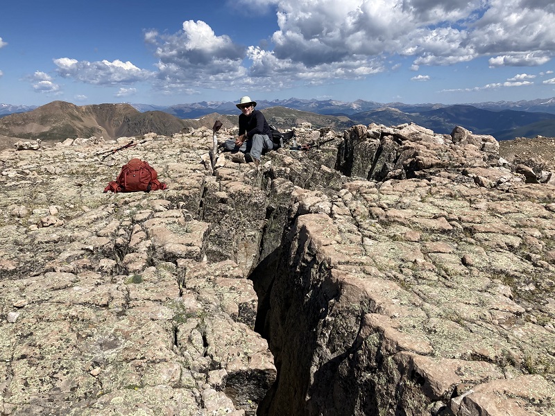
We arrived on top a few minutes after 10. There was an interesting crack about ten feet deep on the summit, unlike anything I’d ever seen on a peak before.
the crack on the summit of broncho. fairview peak is to the left.
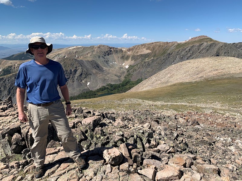
me on the summit, with lamphier lake far below. photo by brian schultz
brian sitting beyond the crack on the summit
After resting about 45 minutes on this delightful summit we turned back and hiked down. Near the end of the hike we saw two fellows heading up to Lower Lamphier Lake for a swim, the only people we saw on the trail today. We returned to the trailhead about 130.
I found this climb to be quite interesting, with several notable or unique features, like the beautiful lake, the fossils in the rocks, Gunsight Pass, and the crack on the summit. You never know what you will come across out in the mountains!