BROWNS CANYON NATIONAL MONUMENT
March 21, 2016
By Tim Briese
12.3 miles, 2000’ elevation gain, 8:20 roundtrip time
This newly established national monument is located southeast of Buena Vista in the rugged region on the east side of the Arkansas River, and consists of a mountainous area of canyons, forests, and rock formations, with splendid views of the Collegiate Peaks across the valley to the west. Formerly designated as the Browns Canyon Wilderness Study Area, this place had long been on my radar as an interesting place to explore that would be relatively snow-free during the winter or early spring when the high country was locked in snow. I had never been here so it was essentially a blank spot on the map to me. Information about the area was a little scarce but I managed to find a trail map online.
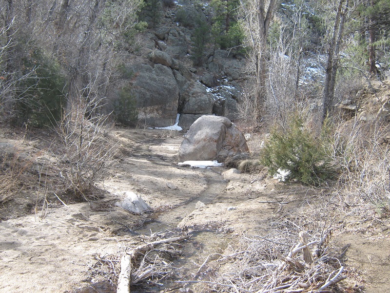
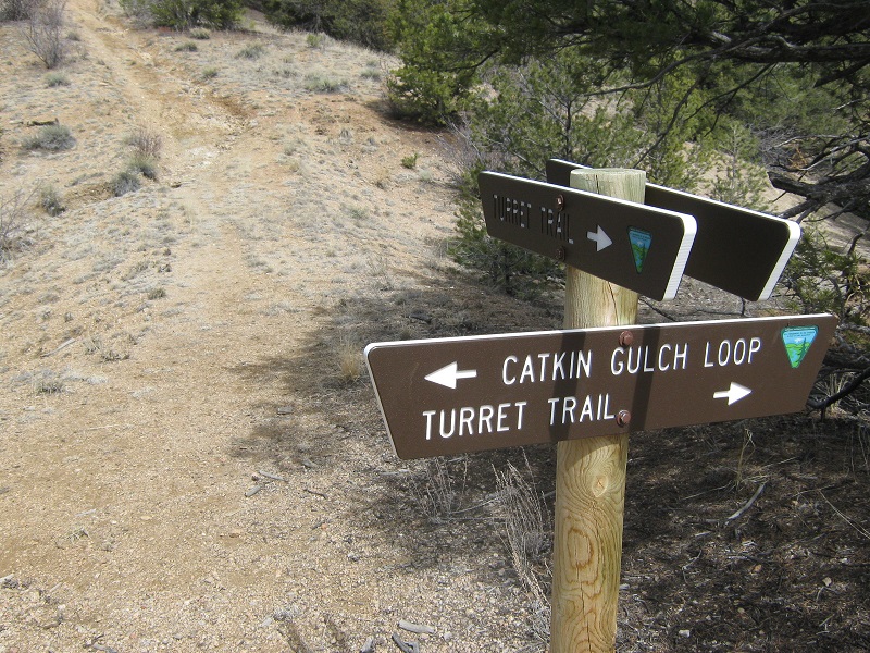
My wife Teresa and I drove to the Ruby Mountain Trailhead about four miles south of Johnson Village along County Road 300. The elevation here was about 7700’. It was a beautiful March day in spite of a moderate wind blowing. Just as we pulled in a party of about 12 older hikers was just embarking on the trail, apparently a local hiking group. At 915 we headed south up the Turret Trail #6045 with our lab Abby. We soon crossed a rocky drainage and hiked up over a ridge where we were greeted with nice views and rock formations.
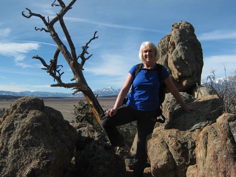
teresa at a rocky overlook
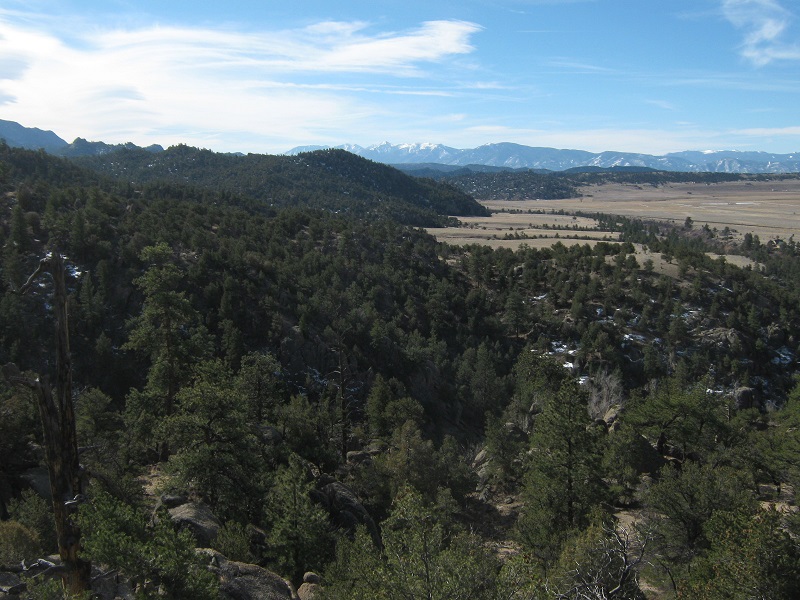
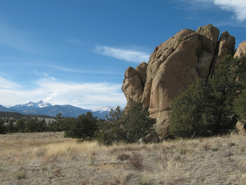
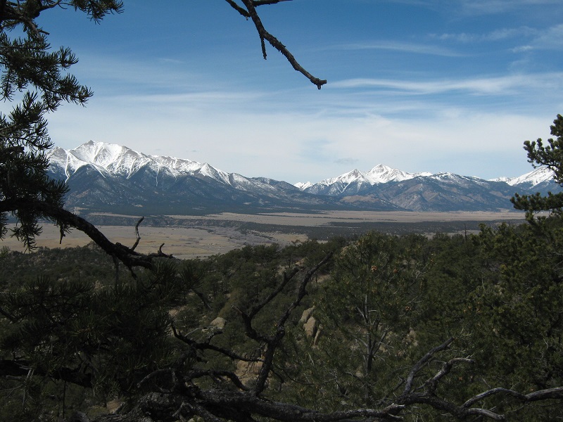
view to the south; browns canyon national monument is to the left, the arkansas river valley is to the right
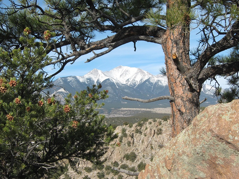
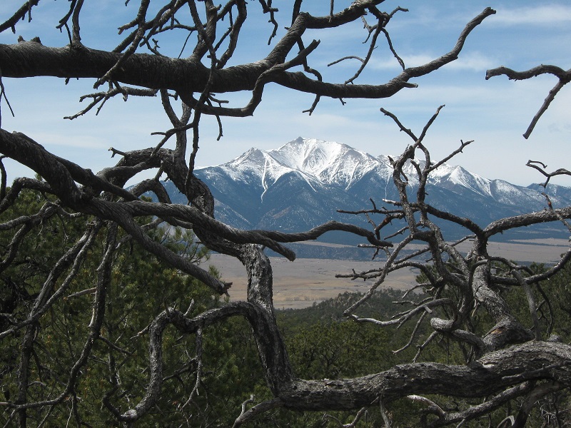
mt. princeton
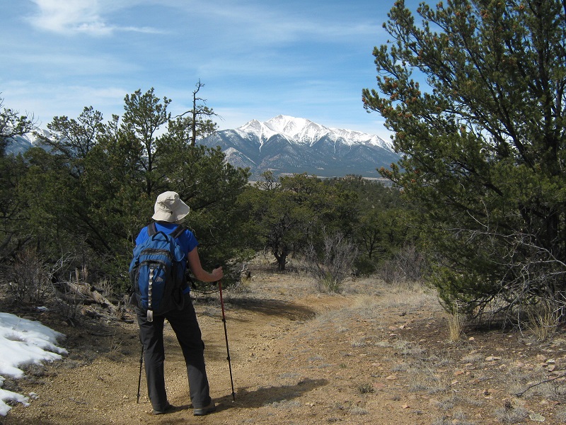
on the trail
The trail then descended southeast to Little Cottonwood Creek.
little cottonwood creek
We followed the trail along the creek downstream for a ways before it left the creek and headed southeast across an open meadow past some nice rock formations for about two miles to Middle Cottonwood Creek.
some rock formations along the trail across the meadow
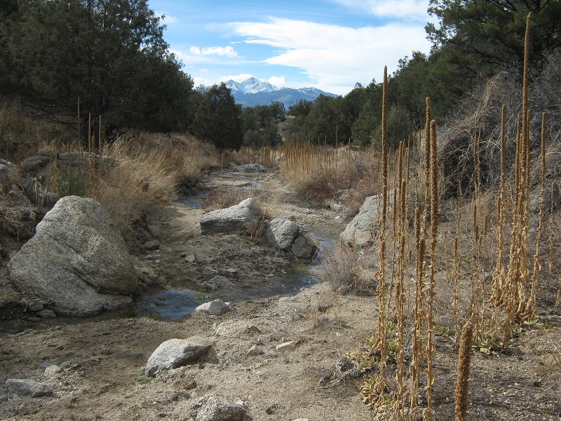
The route then turned left and went along Middle Cottonwood Creek for a mile or so. The hike up this canyon was scenic, with rocks, bushes, a little water in the creek, and some snow in shady places.
middle cottonwood creek
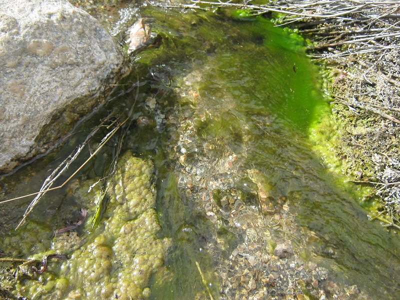
colorful moss in the creek
The trail then climbed southeast up out of the canyon to a junction where we turned left to hike the Catkin Gulch Loop Trail #6046.
the trail junction
The loop trail became more faint after a while. We encountered the other hiking party here coming back on the loop. The trail climbed up to 8700’ elevation, affording us very nice panoramic views of the snowcapped peaks off to the west.
mt. princeton is to the left, and mt. yale is to the right
mt. princeton
As we came around the loop the trail dropped into the Middle Cottonwood Creek drainage and became so faint in the tall grass that we lost the trail and decided to strike off on a rugged bushwhack back to the trail on the other side of the loop, which we found without much trouble. On the hike back the slanting rays of the lowering sun was especially pretty on the landscape. We came across a young couple setting up a backpack camp at a nice overlook about a mile from the trailhead.
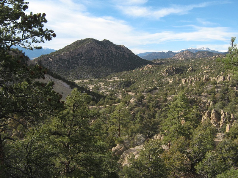
returning to the trailhead, which is near the center of the photo. Ruby mt. lies just beyond.
We tramped back to the trailhead at 5:35 after our 12 mile march and rested on the tailgate of the truck for a while before heading into Buena Vista for the night.