ADVENTURES IN THE PACIFIC NORTHWEST
Hurricane Ridge, Olympic National Park
Pacific Rim National Park, Vancouver Island, B.C.
Golden Ears Provincial Park, B.C.
3rd Burroughs Mountain, Mt. Rainier NP, (7828’) 9.6 miles, 2500’ elevation gain, 7:15 roundtrip time
Sept. 8-13, 2014
By Tim Briese
My wife Teresa and I went on a weeklong trip in September 2014 to visit the grand Pacific Northwest. This area has become one of my favorite places to visit because if offers one of the most magnificent meetings of mountains, forests, and ocean that I have ever seen.
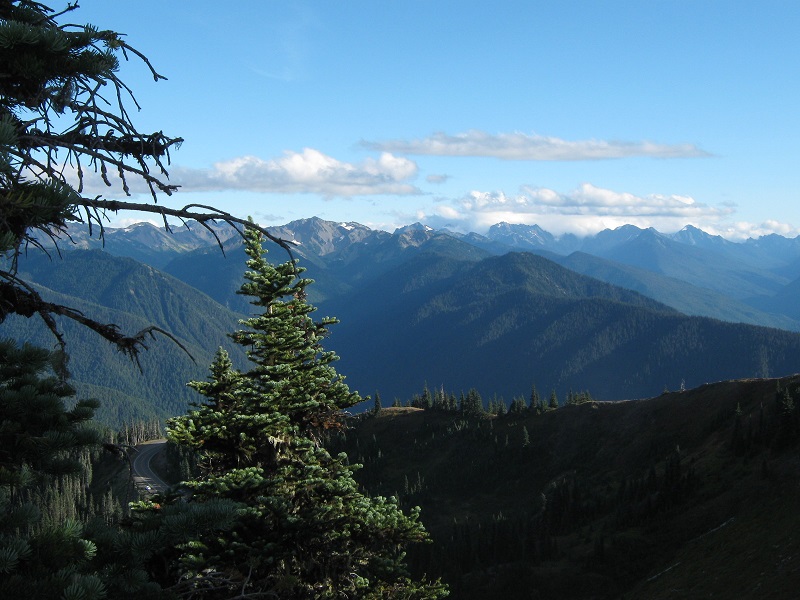
On the day we arrived we drove to Port Angeles and then headed up into Olympic National Park to Hurricane Ridge. There is a nice paved road that climbs some 5000 feet from sea level up to the visitor center at the ridge. We hiked around on trails in the area for a while, from which the rugged Olympic Mountains can be seen stretching away to the south, and the Strait of Juan de Fuca between the U.S. and Canada can be seen far below to the north.
view of the olympic mountains from hurricane ridge
fog drifting over the ridges. the strait of juan de fuca can be seen over the ridgeline.

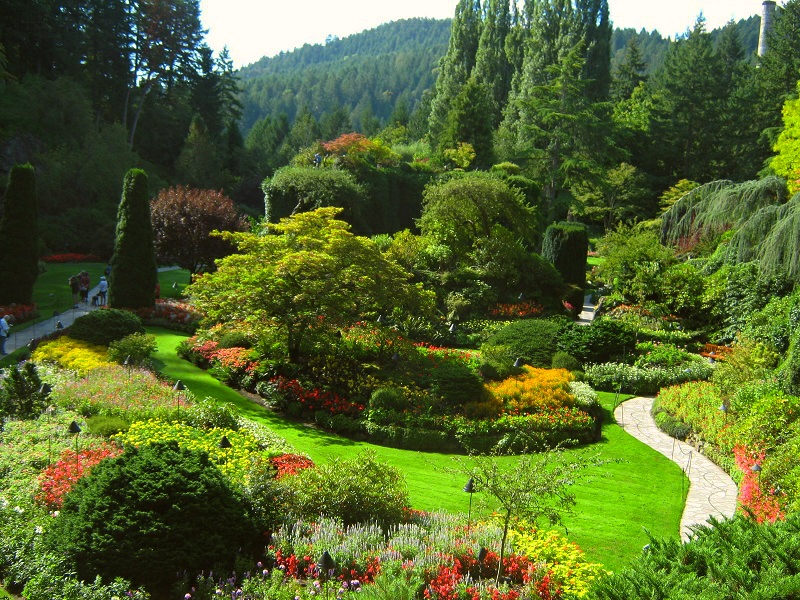
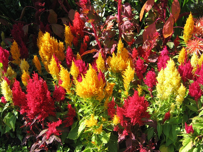
The next morning we rode a ferry across the 20 mile wide strait and landed in Victoria, B.C. on Vancouver Island. Our first stop was to see the world famous Butchart Gardens a few miles north of Victoria.
one of the displays at butchart gardens
there were colorful flowers everywhere
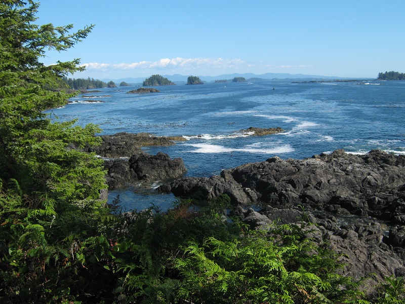
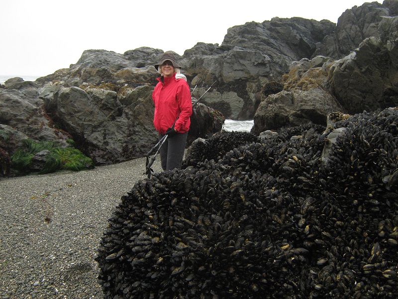
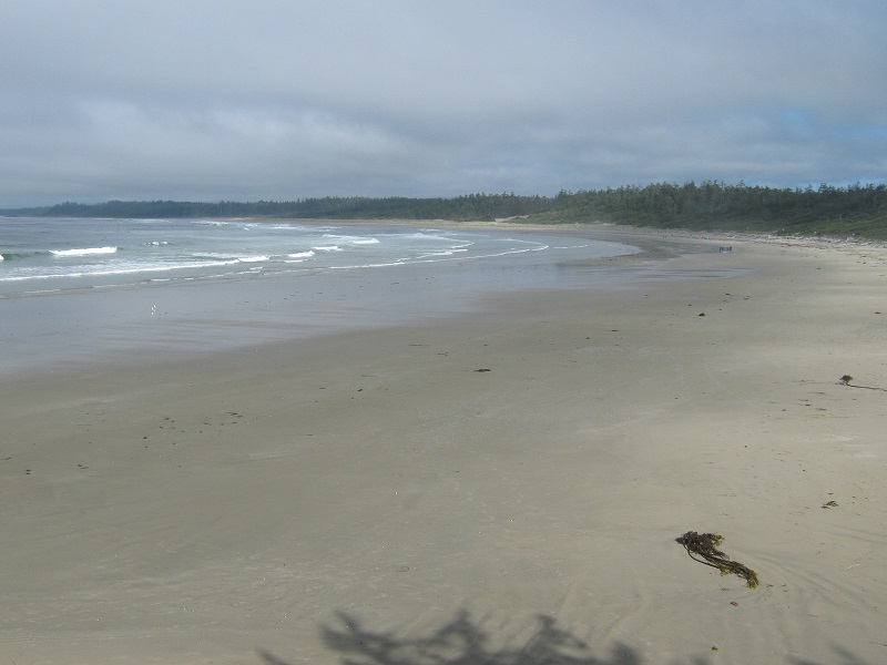
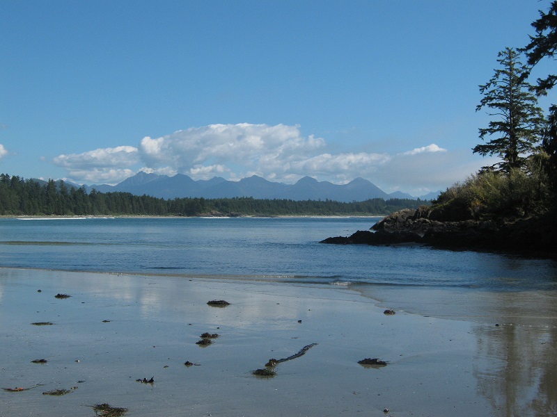
Then we drove north and then west across Vancouver Island to its west coast, crossing over a mountain range covered with towering forests and graced with massive lakes. We stayed in the tiny coastal village of Ucluelet that night and spent the following day hiking along the coast and on several trails in nearby Pacific Rim National Park.
view from the wild pacific trail near ucluelet b.c.
the visitors center and ocean viewing area at pacific rim national park

mussels clinging to a rock could be seen at low tide
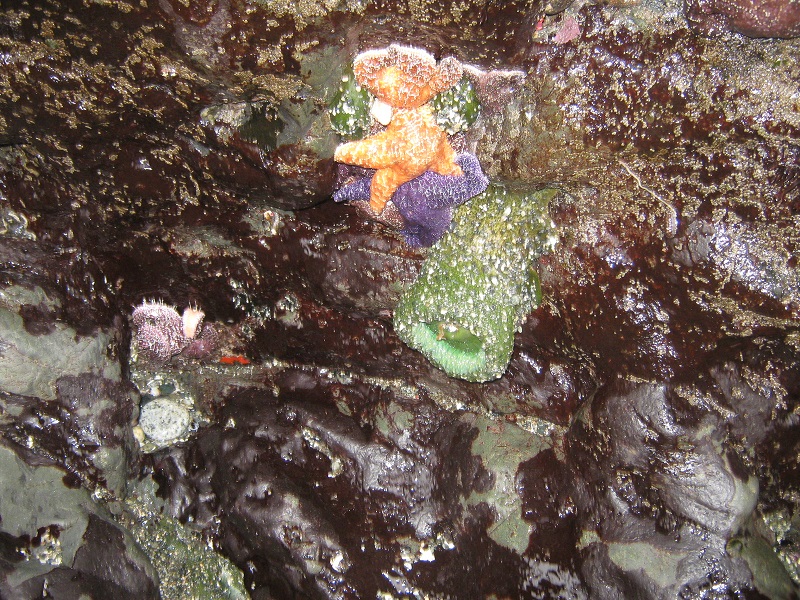
starfish were numerous too
the cold water didn't deter some hardy surfers
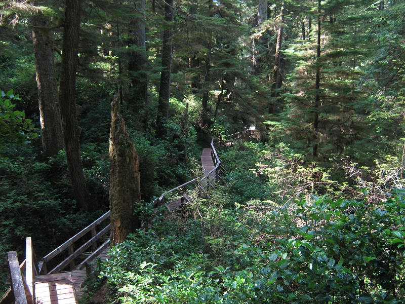
boardwalk through a rainforest
mountain peaks in the interior of vancouver island visible from the coast
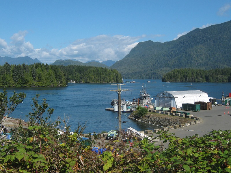
the harbor at tofino, just north of pacific rim national park
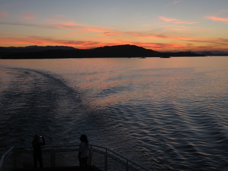
That evening we rode another ferry across to the city of Vancouver on the mainland of B.C.
sunset sky from the ferry as we departed vancouver island
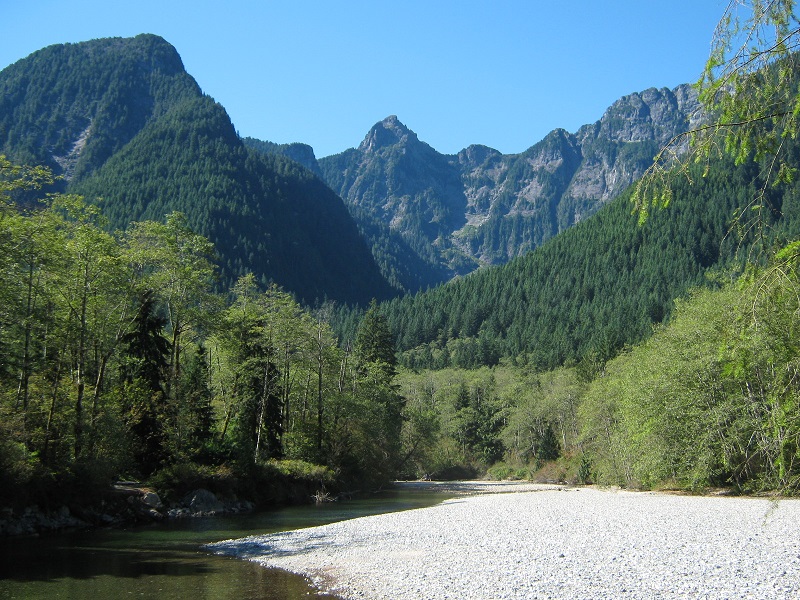
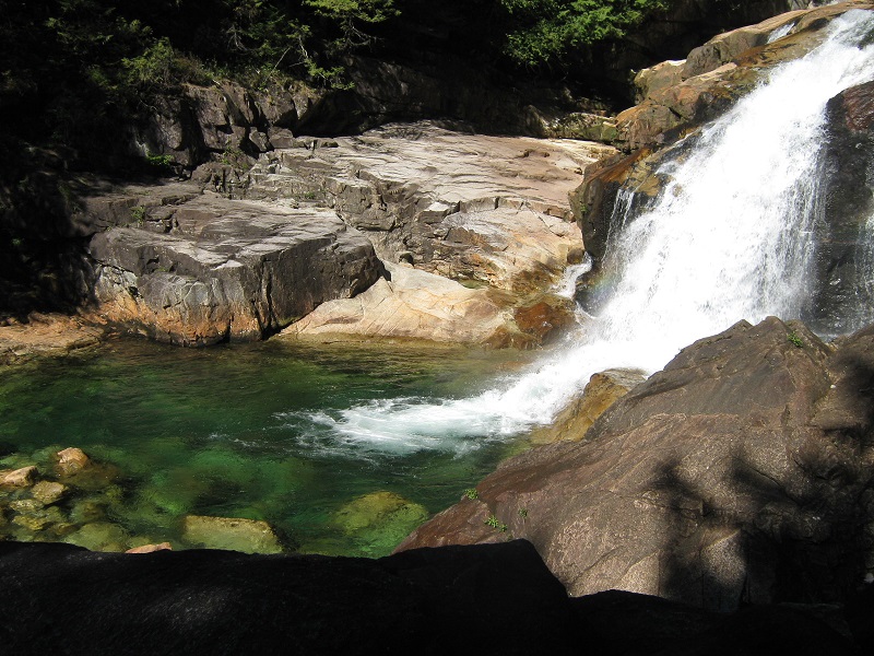
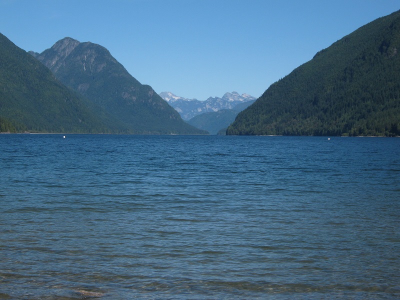
The following day we went on a nice 6 mile hike on trails in Golden Ears Provincial Park just northeast of Vancouver.
in golden ears provincial park
a waterfall along the trail
alouette lake in golden ears provincial park
That evening we stayed with friends in Abbotsford, B.C. and were treated to a nice tour of the area before driving back to Washington the following day. We drove to Tacoma and spent the next few days with our nephew Andrew and his fiancé Kelyn, whose company we really enjoy.
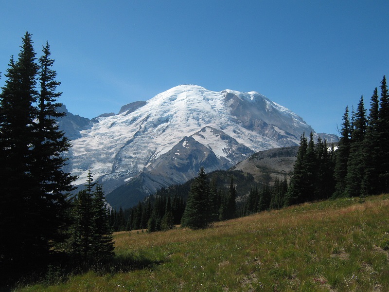
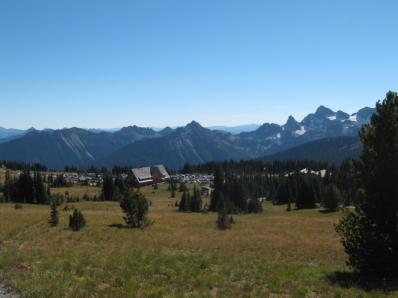
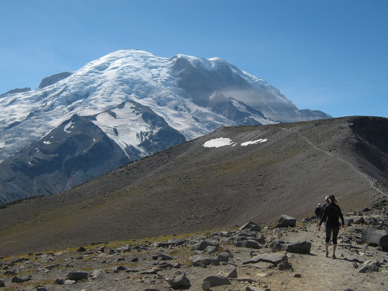
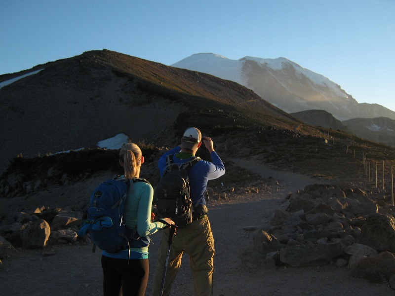
The four of us planned an outing to go on a dayhike in Mt. Rainier NP and the following morning drove to the Sunrise visitor center and trailhead northeast of the mountain. Sunrise is at about 6400 feet elevation, and Rainier towered grandly some 8000 feet above to the southwest on this beautiful clear September day. There were probably a couple of hundred people milling about at this scenic place. We checked out the visitor center and snack bar before loading up our packs and heading up to the west on one of the many trails in the area.
mt. rainier from the trail just after we left sunrise
looking back at sunrise visitor center from the trail
Our objective was to go on a nice scenic dayhike so we chose the Burroughs Mountain Trail which would take us as close to Rainier as possible with the promise of spectacular views.
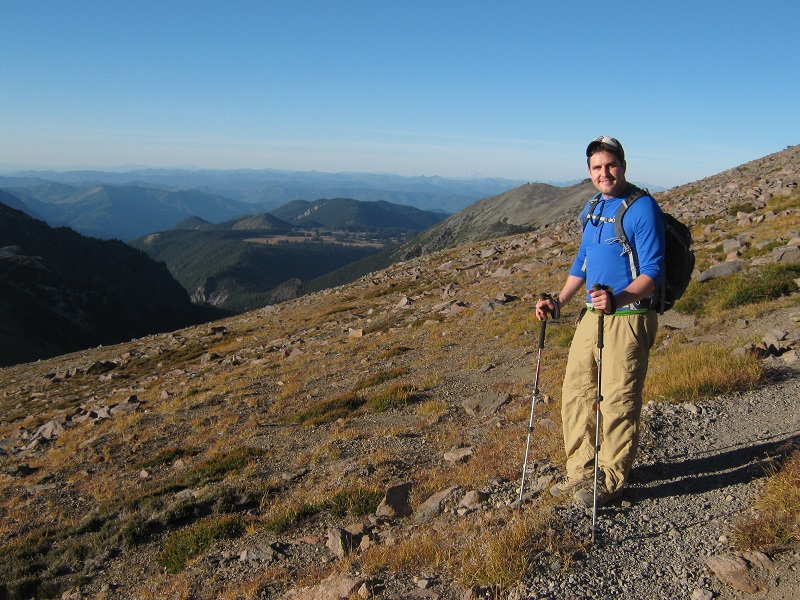
kelyn and andrew
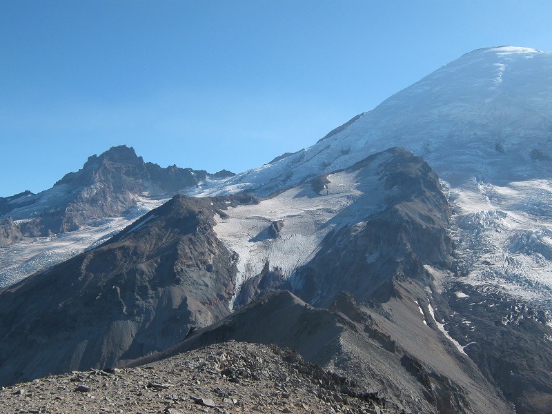
There were dozens of other people on the trail as we hiked along and we stopped frequently to take photos of the grand scenery. Along the way we crossed the Wonderland Trail, a hundred mile long trail that circles Mt. Rainier. Burroughs Mountain consists of a lengthy ridge northeast of Rainier with three separate summits a half mile or more apart, with each successive summit a little higher than the previous one.
on the trail
rainier was very impressive!
the ridge to the left of rainier, and emmons glacier
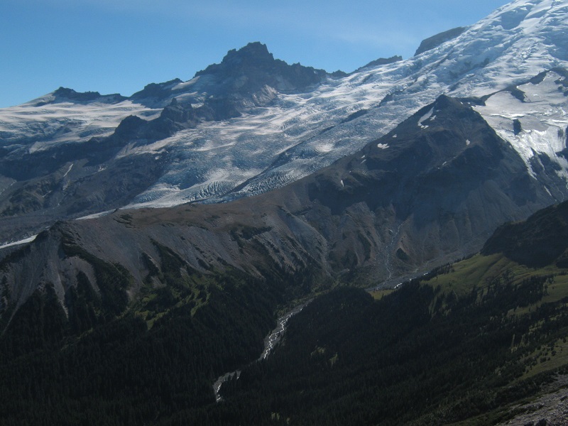
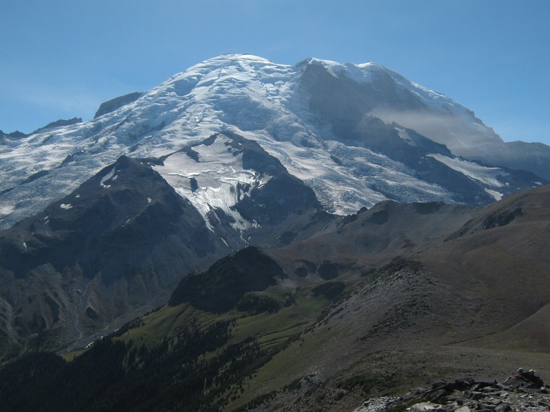
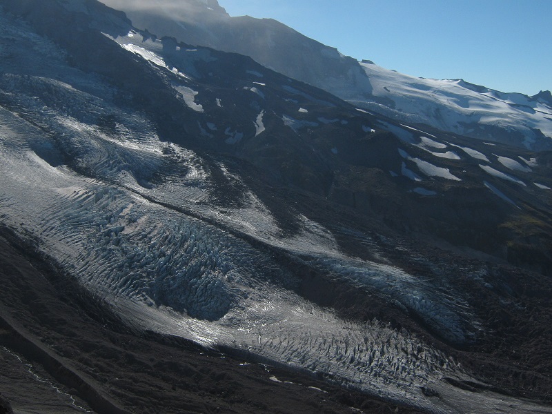
The formal trail ended on the second summit but an informal trail continued on to the third one, which we eagerly took. There were only a handful of people that went all the way to the third summit but it was certainly worth it, with the best view of all. The summit of mighty Rainier was still 4 linear miles away but it seemed so close that you could practically reach out and touch it! There was also an impressive view of rugged Winthrop Glacier below to the west. The numerous crevasses in the glacier stood out in shadowed relief in the late day sun.
view of rainier from third burroughs mountain
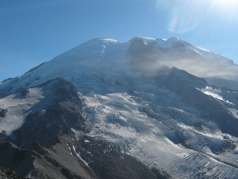
i couldn't capture it all in one photo without a wide angle lens!
winthrop glacier
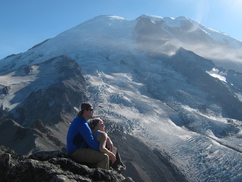
andrew and kelyn
We stayed on the summit for a while enjoying the spectacular views but then reluctantly felt compelled to leave because the sun was sinking low into the western sky. We tramped back down the trail in the beautiful golden late day sun.
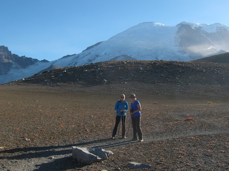
kelyn and teresa on the tundra on the way back
andrew
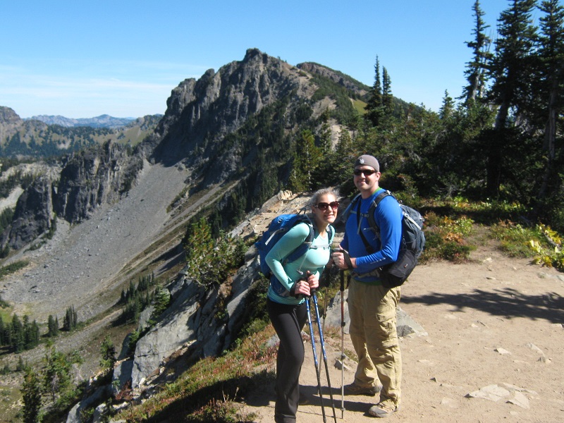
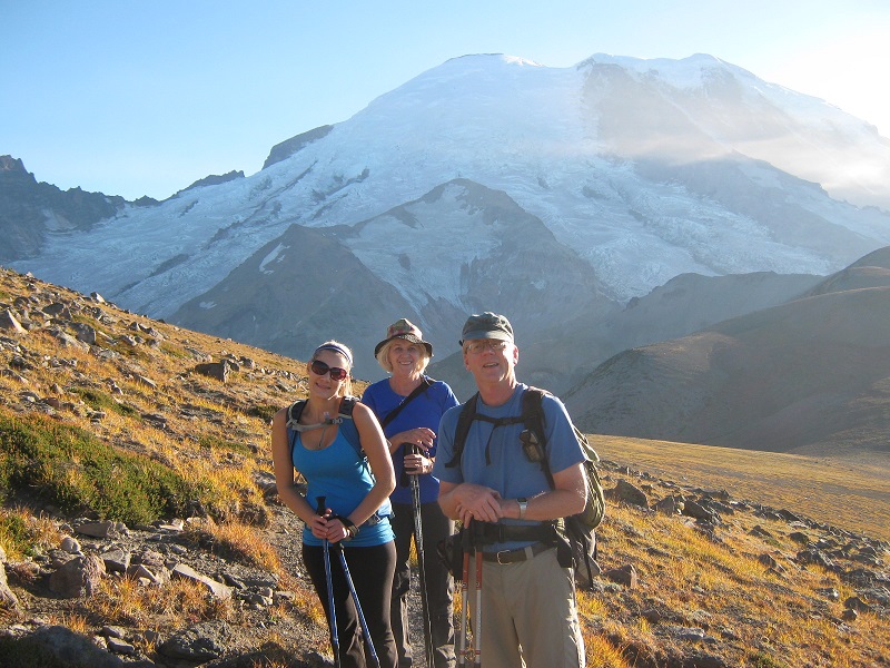
kelyn, teresa, and I on the trail
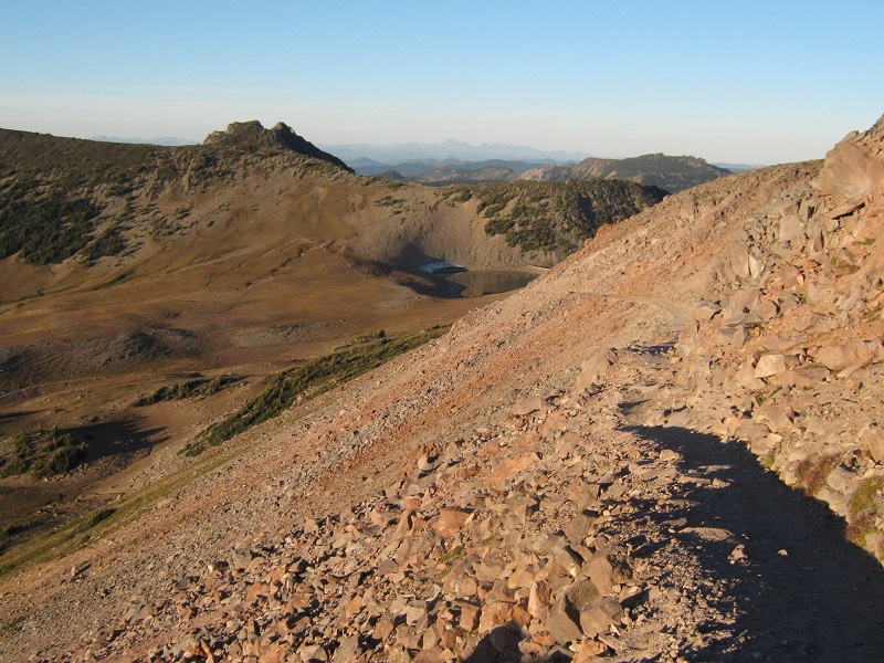
part of the trail on the way down
We sang songs part of the way down and an older woman hiker we met said she really enjoyed our music.
a parting view of rainier as the sun set
We returned to Sunrise as darkness set in and headed back to home.