CAMELBACK MOUNTAIN
(2704’)February 13, 2012
By Tim Briese
4.0 miles, 1400’, 2:30 roundtrip time
Camelback Mountain is an iconic landmark in the Phoenix metro area.
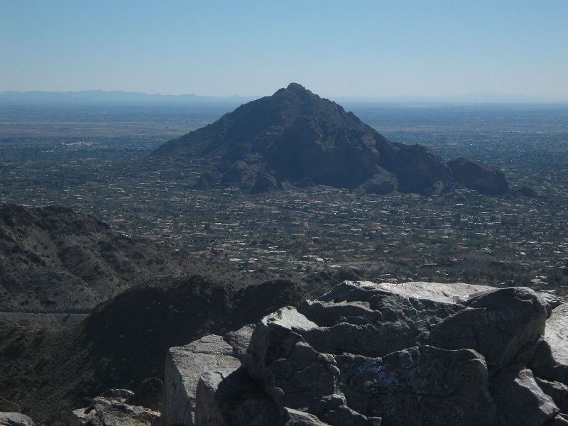
view of camelback from piestewa peak
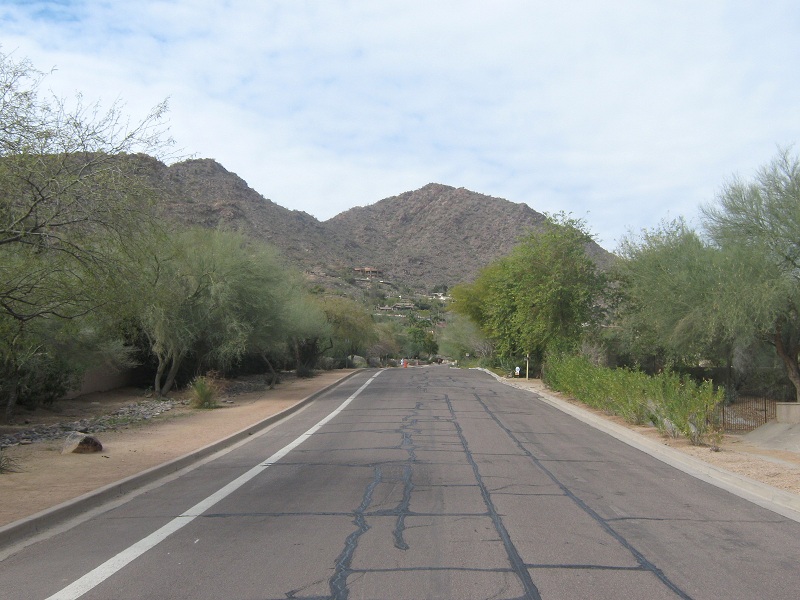
The climb to its summit is steep and rocky but nevertheless some 300,000 people climb it every year! When I was researching info for the climb on the Internet I found that some enterprising young fellows even offer a guide service to take the timid and inexperienced to the top! There are two trails to the top, the Echo Canyon Trail from the west and the somewhat less used Cholla Trail from the southeast. Parking at the Echo Canyon Trailhead is so congested that hikers often need to use off-site shuttles. I decided to climb the peak on a weekday and use the Cholla Trail to avoid some of the congestion but nevertheless saw over a hundred climbers on this route. Parking is not allowed at the Cholla Trail trailhead on Cholla Lane so climbers must park on nearby Invergordon Street and walk about a half mile along the street to the trailhead. I counted about 50 other hiker’s vehicles along the street when I parked there. I noted that the elevation here was about 1350 feet. I left my car at 11:20 a.m. and began briskly walking up the sidewalk to the formal trailhead, which I reached about ten minutes later.
walking up cholla lane to the trailhead; camelback lies ahead
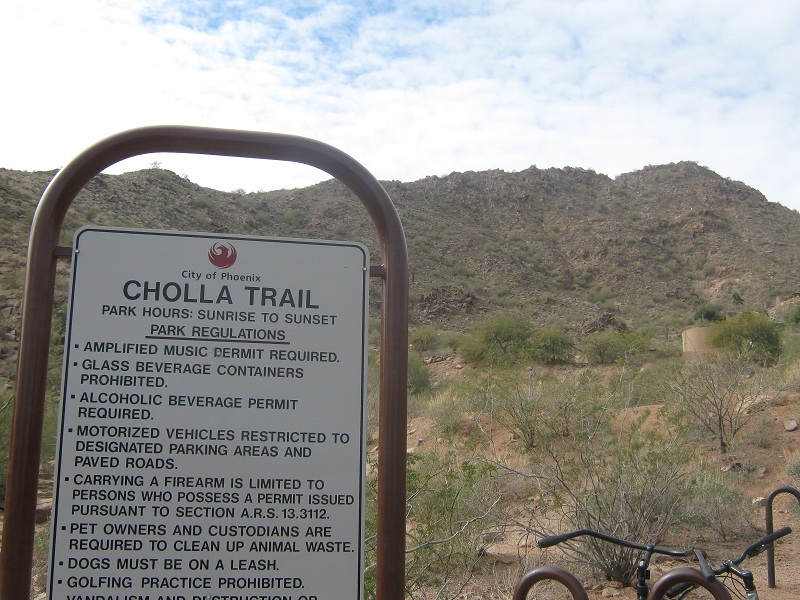
at the trailhead; the trail traverses across the slopes above
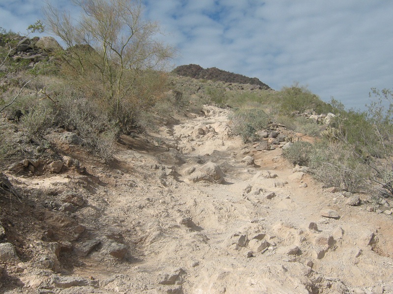
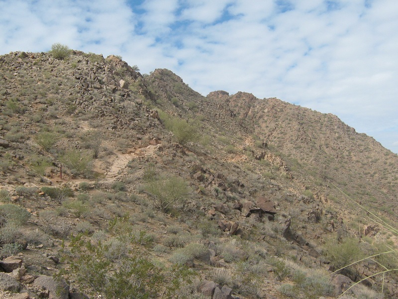
The rocky trail switchbacked 600 feet in a mile up to a saddle on the peak’s southeast ridge.
a section of the rocky trail
the trail across a slope before i reached the saddle
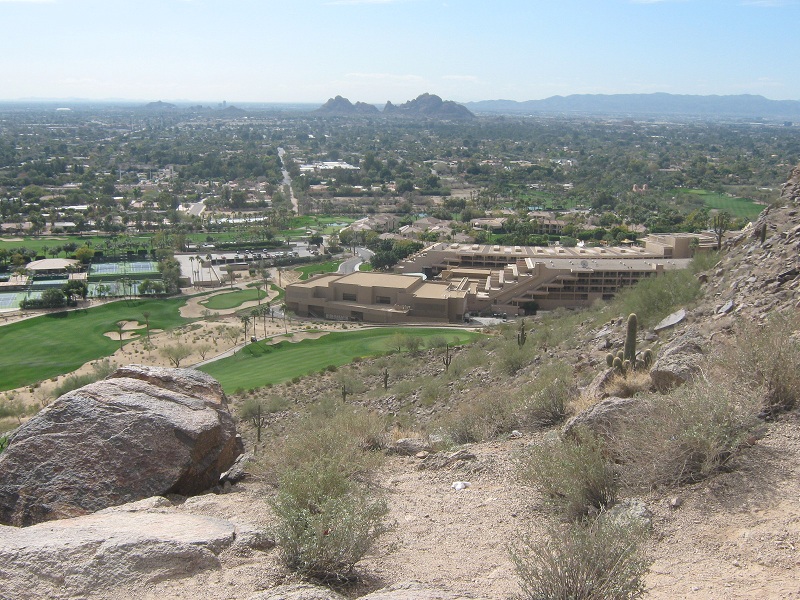
Throngs of other climbers were going up and down, young and old, from the casual and out of shape to the very fit. The five-star Phoenician Scottsdale Resort sprawled out below to the south.
the phoenician resort
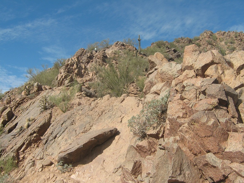
I was the only hiker on the mountain who was using trekking poles, which I frankly found quite helpful in places. The nice trail ended at the saddle and the rest of the route involved a steep and rocky climb of 500 feet in 0.3 miles up the peak’s southeast ridge to the summit, which involved several sections of minor class 3 rock scrambling.
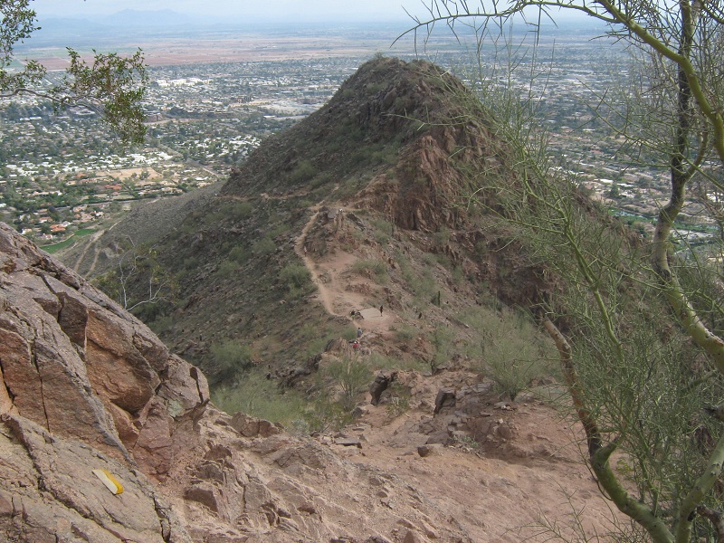
view from the saddle of the rocky ridge to the summit, which is in the center

a little rock scrambling was required in places like this
looking back down at the trail
approaching the summit
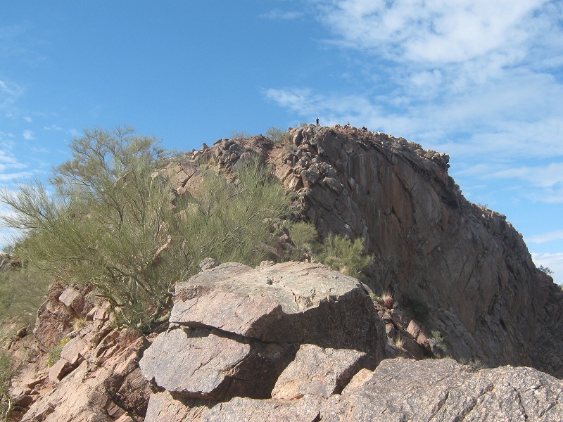
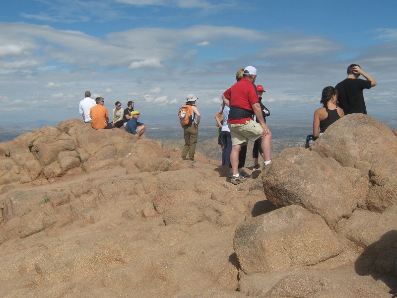
I stepped on top at 12:30 and mingled with about 30 or 40 other people who were milling about.
on the summit
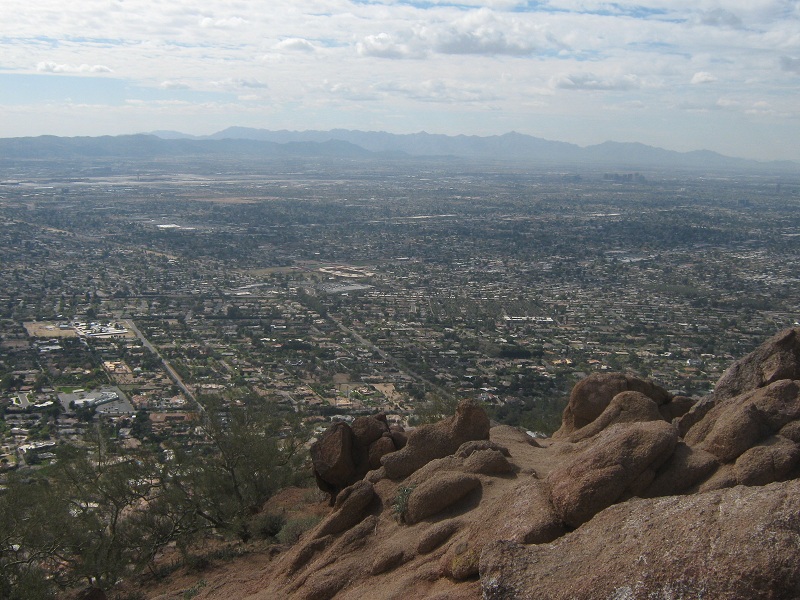
The views of the Phoenix metro area are outstanding from the summit, but hazy conditions today detracted from that somewhat.
phoenix was sprawled out below
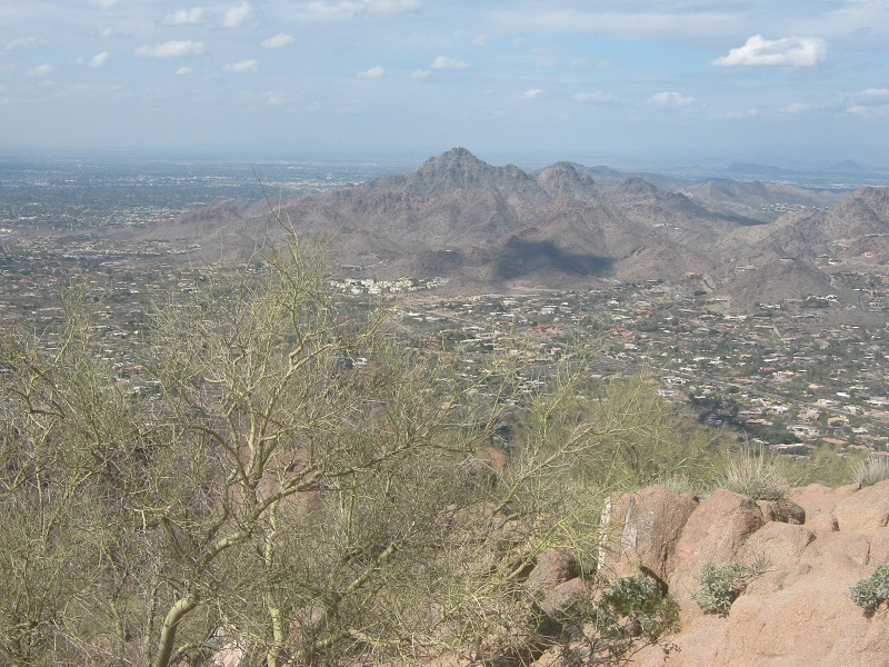
piestewa peak, which i climbed last year
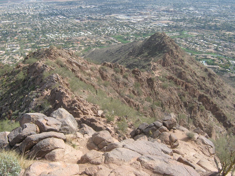
view of the ridge i came up
After twenty minutes I left the top and headed down. It took me twenty minutes to get back down to the saddle and another thirty to the trailhead. I got back to my car at 1:50 and took off, eager to complete the hour-long drive back across the city before rush hour struck.