UNNAMED 8906
CHINA WALL (9189’)
UNNAMED 9752
April 29, 2020
By Tim Briese
Unnamed 8906 1.1 miles, 600’ elevation gain, 1:40 roundtrip time
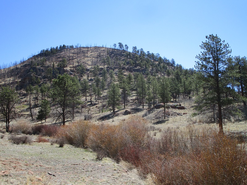
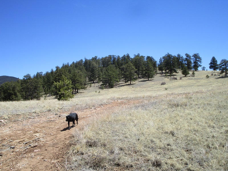
It was a perfect day for a fun outing to bushwhack up some easy peaks; nice and sunny with a temperature in the 60’s. I drove a few miles up the Tarryall Road (CR 77) from Lake George and turned right onto the Matukat Road (CR 211). After a mile or so I parked on the left side of the road in a dispersed camping site. I crossed the road and headed southeast up toward UN 8906.
unnamed 8906
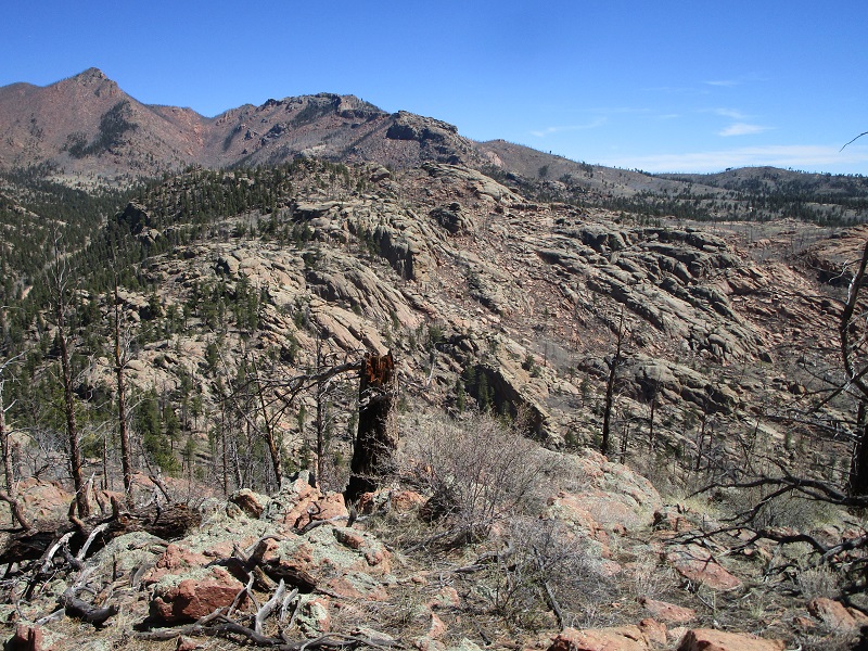
The going was a bit rough in places because of rocky areas, bushes, and a lot of downed logs from the 2002 Hayman Fire which had swept through the area but I arrived on the summit without incident in about 40 minutes. There were some nice views to enjoy from this perch.
approaching the summit of unnamed 8906
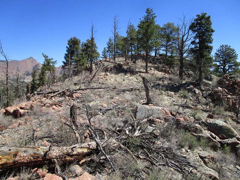
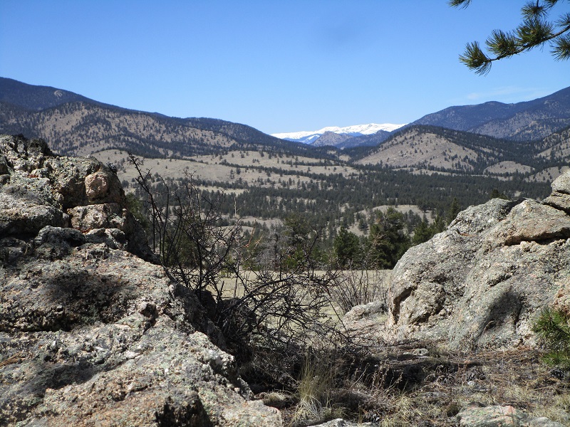
a view of rocky areas to the northeast
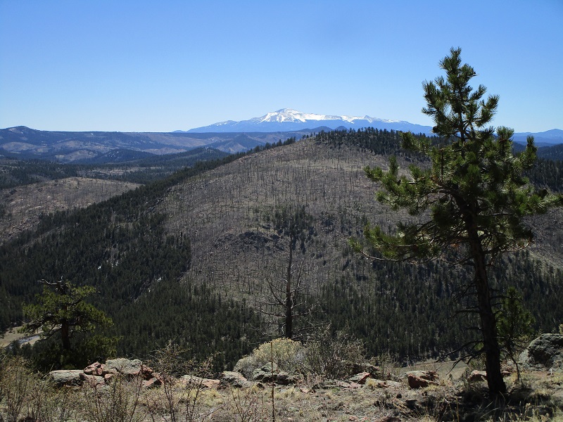
a view of pikes peak. a large burn area is visible in the center of the photo.
After enjoying the views for a while I made a straightforward descent back to my truck.
China Wall 1.3 miles, 300’ elevation gain, 1:00 roundtrip time
I continued north on CR 77 a few more miles and turned right onto FR 212 and followed the good road about a mile east through a semi-open area that is popular with ORV folks and dispersed campers. I reached a locked gate and took off on foot on a left fork in the road beyond the gate and headed steeply uphill.
i walked past the gate at the right and then followed an old road uphill to the left.

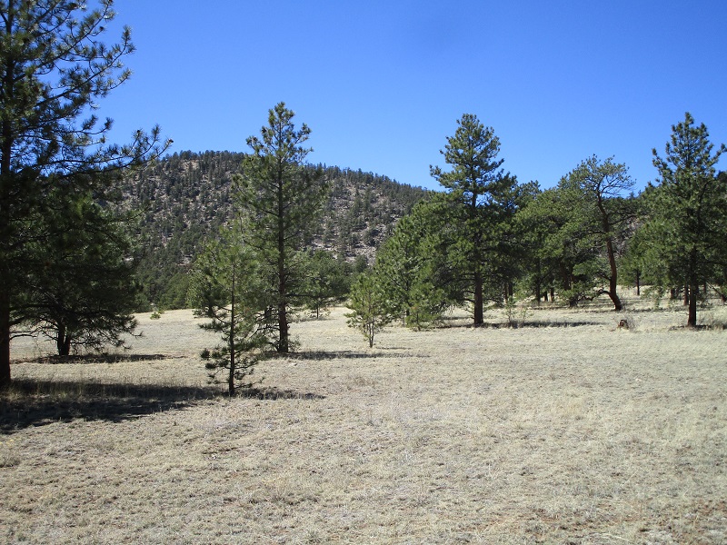
The road swung around to the right at the top of the hill and I soon left it and strolled a few hundred yards up very gentle terrain to the summit of China Wall.
i left the road here and headed straight up to china wall, whose summit is in the trees in the center.
It took me all of 20 minutes to hike up to the summit from my truck. The summit was on a broad partially wooded knoll. I’m not sure why it is called a "wall" but I suppose there may be a cliffy area nearby to warrant this name.
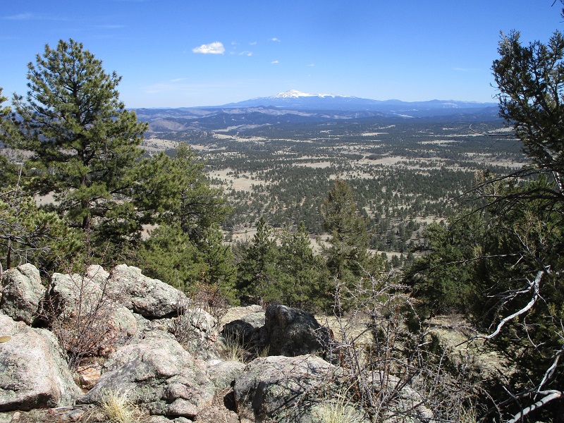
a nice view of snowcapped peaks to the northwest
In the spirit of bold adventure I continued south when I was back on the old road and circled back around and soon arrived at the right fork beyond the gate where I had started.
Unnamed 9752 2.3 miles, 900’ elevation gain, 2:30 roundtrip time
I continued a mile north on CR 77, turned left and went a mile on CR31, then turned right onto FR 231. There are spur roads everywhere in this area that lead to excellent dispersed camping areas, and I took one of them to the right (north) off of FR 231 to get closer to UN 9752, then parked and embarked on foot toward my peak.
unnamed 9752 is to the left. i headed toward the saddle at the right behind the trees then went left up the ridge.
I spotted someone’s camper in the woods ahead so circled around to the right so as not to disturb them. I aimed for a drainage east of the peak and followed it steeply uphill through the trees to a saddle on the peak’s northeast ridge. From there I went left up the peak’s broad northeast ridge, dancing around banks of snow here and there, and arrived on the summit just under an hour after I left my truck. There were some cool rocks on the summit and it felt wonderful to lounge on top in the warm spring sunshine for a while.
a view of pikes peak from the summit of unnamed 9752
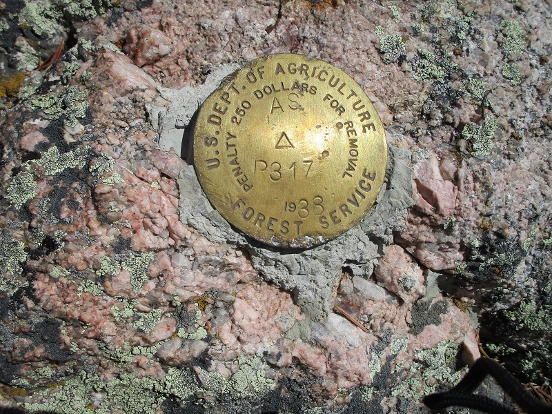
a benchmark on the summit
The descent was easy, and I skirted around the other side of the camper this time, arrived at my truck and enjoyed an ice cold coke while sitting in the pleasant sunshine on the tailgate listening to the wind blow softly through the nearby pines, then headed for home.