
CHIPETA MOUNTAIN
(12,850’)UNNAMED 13,472
Sept. 10, 2015
By Tim Briese
9.1 miles, 3000’ elevation gain, 7:00 roundtrip time
I left home at 530 am with my lab Abby and headed into the mountains on a beautiful September day. South of Poncha Springs I turned off of Highway 285 and headed up the Marshall Pass Road.
i drove past popular o'haver lake along the road
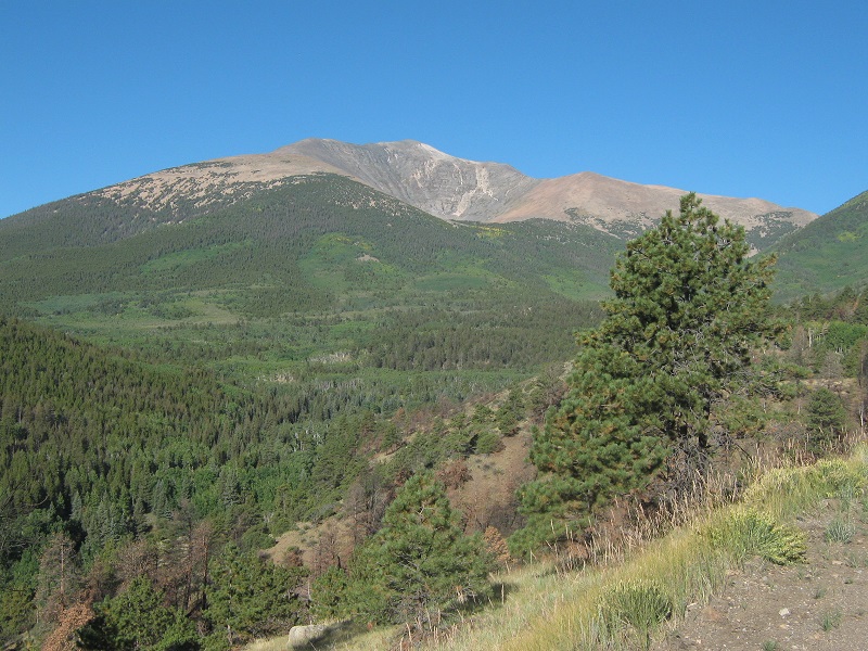
mt. ouray loomed above
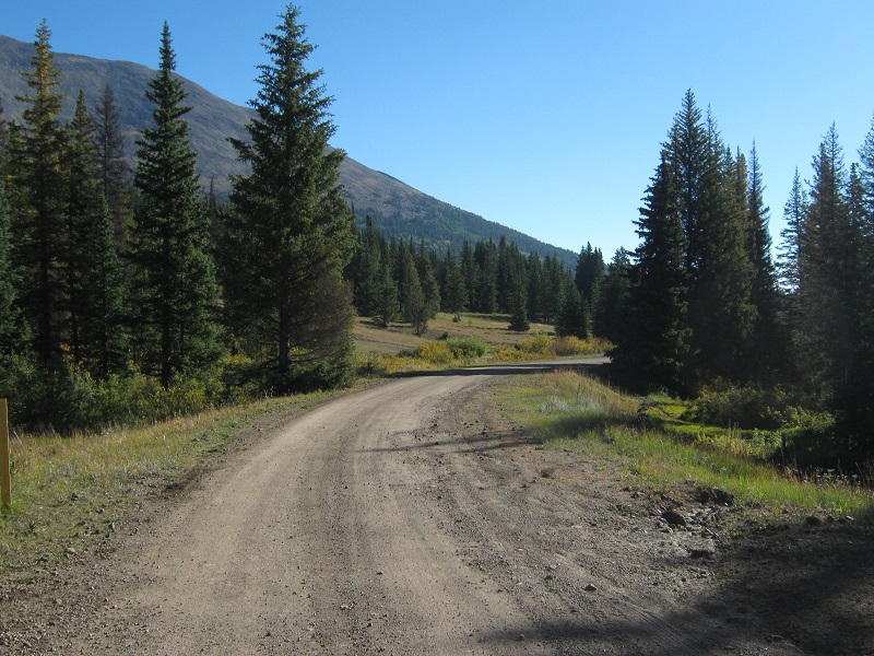
I hoped to see some yellow aspens in the extensive aspen forests along this road but hardly any had turned color yet. This well-graded road is an old railroad grade, and it climbs very gradually with numerous switchbacks up to Marshall Pass.
the smooth and gentle marshall pass road
I parked in an expansive parking lot which serves as a trailhead for the Colorado Trail just east of Marshall Pass. The trailhead lies at about 10,800 feet elevation. About 9 am Abby and I started hiking up an old road that gradually climbs up into the trees north of the pass. This old road serves as a section of both the Colorado Trail and the Continental Divide Trail. I thought about four-wheeling up the road but it was quite narrow and more suitable for ATV’s.
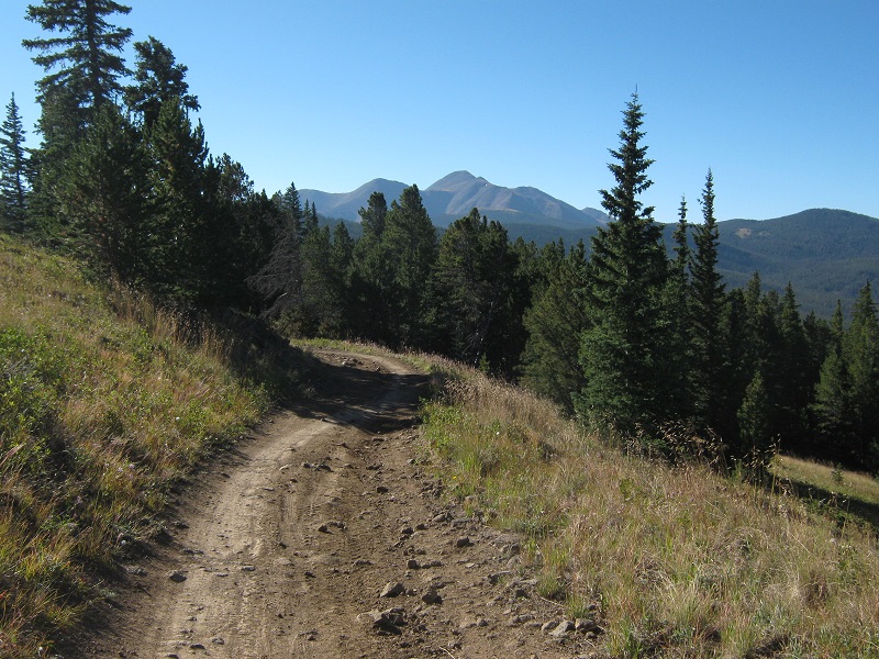
looking back at the old road as i hiked up it. the 13er antora peak lies in the distance.
After 1.4 miles the road ended at a gate and a trail continued beyond. I saw a backpacker’s camp down in the trees left of the trail and I met several mountain bikers on the trail as I hiked along.
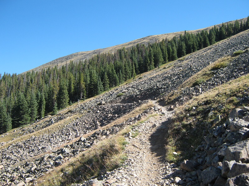
on the trail as it goes across a talus slope
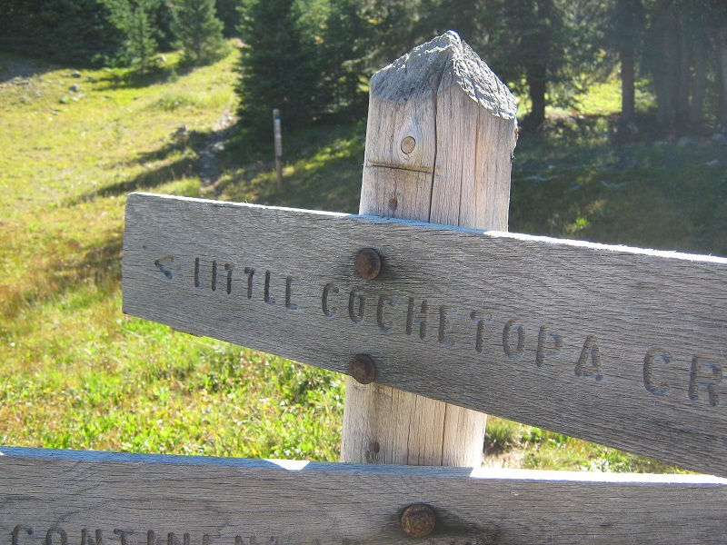
The trail steadily climbed higher and at about 2.8 miles from the trailhead, at 11,800 feet elevation, I reached a signed junction and headed right on the Little Cochetopa Creek Trail, with the intent of following it up to the crest of the ridge south of Chipeta.
the sign at the trail junction
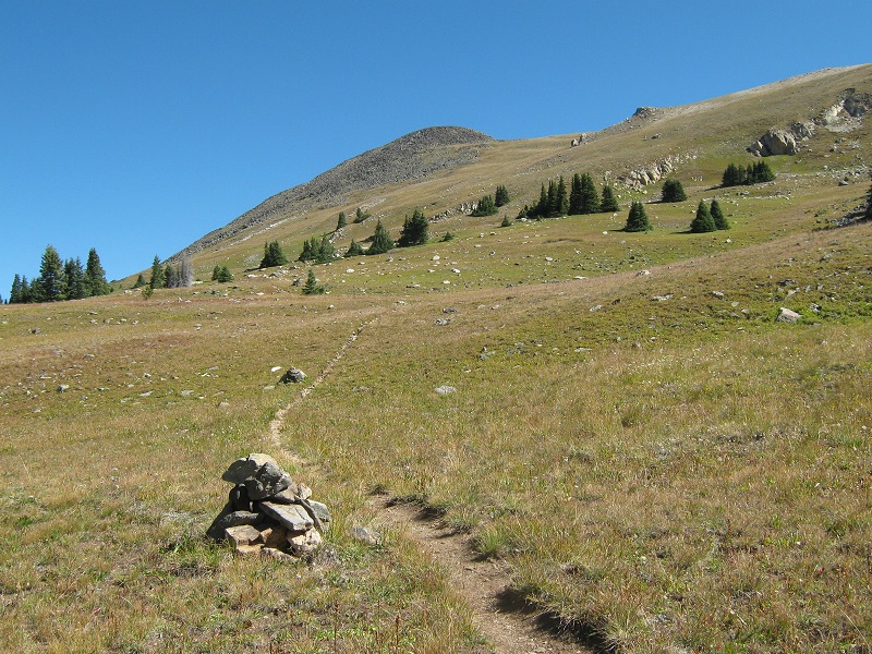
After hiking on this trail up onto the tundra slopes for a few hundred yards I decided it would be simpler and more direct to leave the trail and bushwhack northeast up the grassy slope to the ridge closer to Chipeta.
the trail soon turned sharply to the right, so i left it and bushwhacked up to the ridge at the upper right
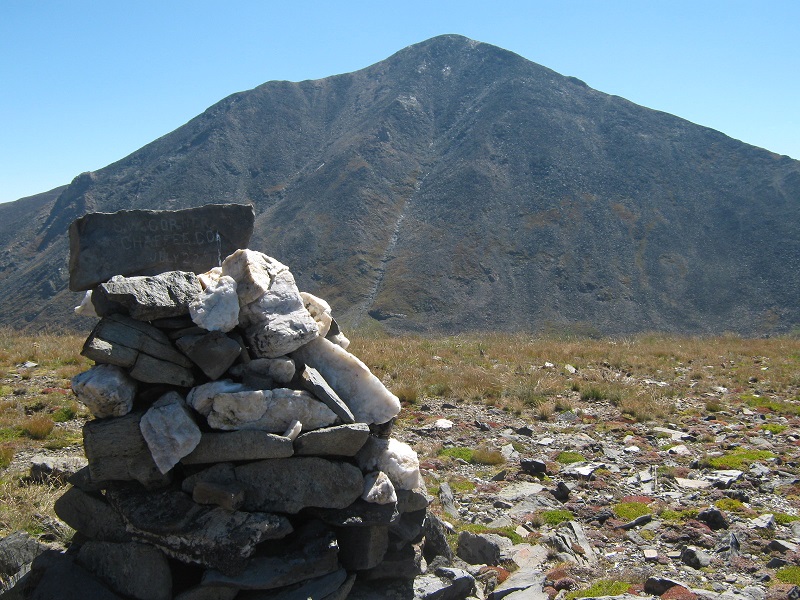
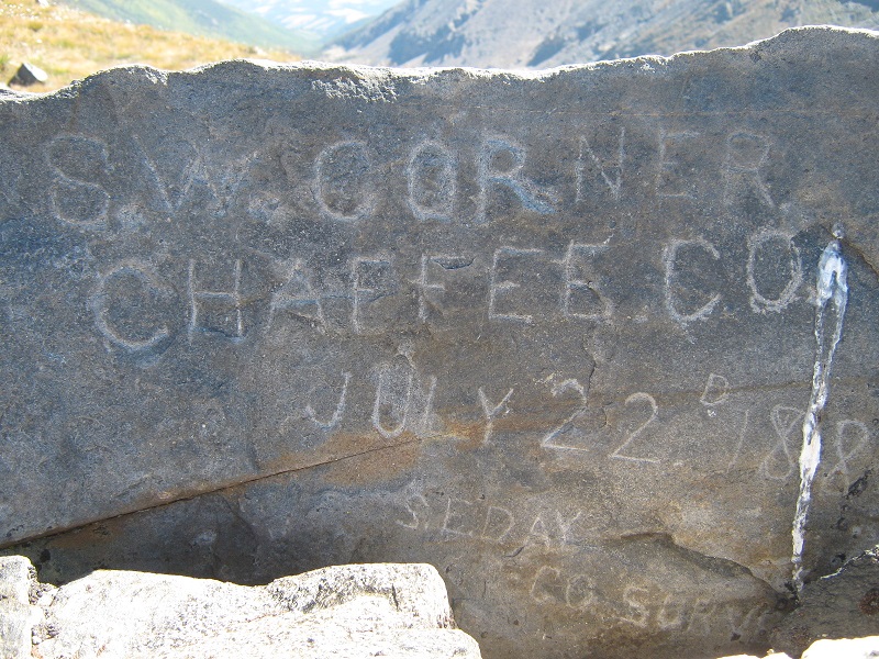
This worked well and in good order I reached the grassy ridge at 12,400 feet. Immediately my attention was drawn to a big cairn nearby and I walked over to look at it. Interestingly, it was a marker denoting the southwest corner of Chaffee County, apparently having been placed there in 1882 by the county surveyor.
the cairn with the historical plaque. mt. ouray lies beyond
the plaque on the cairn
My map seemed to indicate that the actual corner of the county was on the ridge about a half mile south of here, so maybe the cairn is of greater historical interest than geographical. I suppose the accuracy of such things is better nowadays with satellites and GPS. At any rate I climbed north along the crest of the easy ridge, right on the Continental Divide, toward Chipeta, which lay about a half mile away.
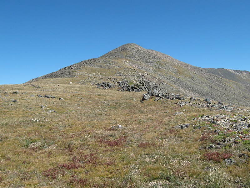
the ridge up to chipeta mountain
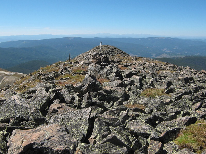
I arrived on top of Chipeta at 1140.
the summit of chipeta
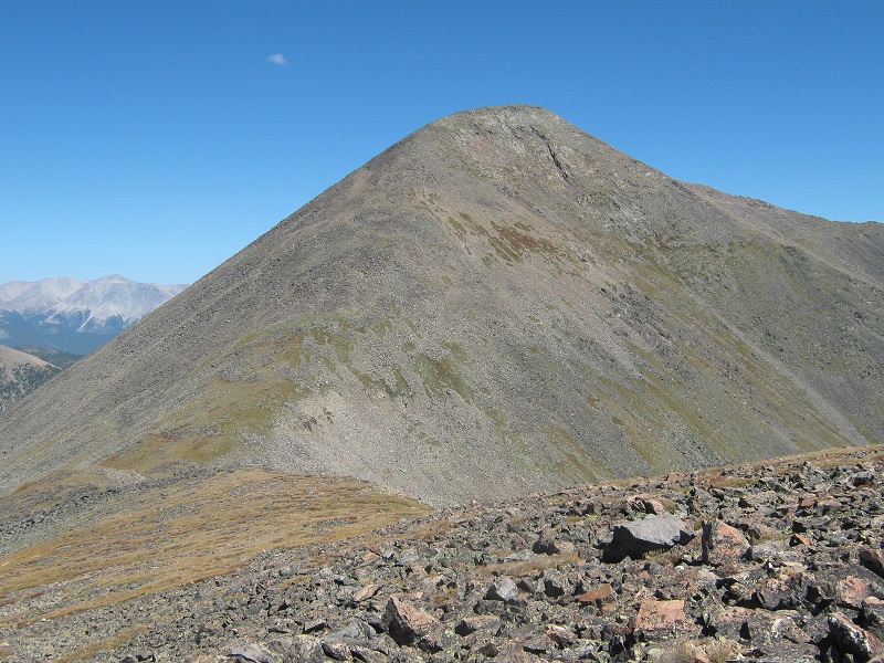
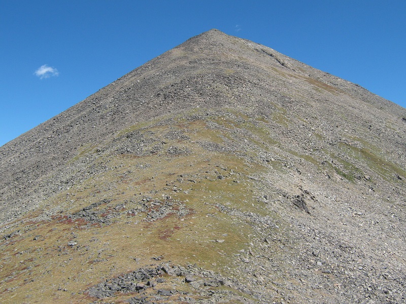
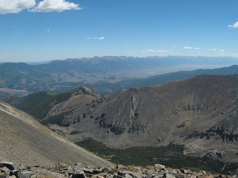
When I stepped on top of Chipeta, Unnamed 13472 popped into view, only about a half mile away to the northeast, almost startling in its towering demeanor. I could see that climbing it was going to be more of a grunt than I was expecting.
unnamed 13472 from chipeta
there was a dramatic view of mt. ouray from chipeta.
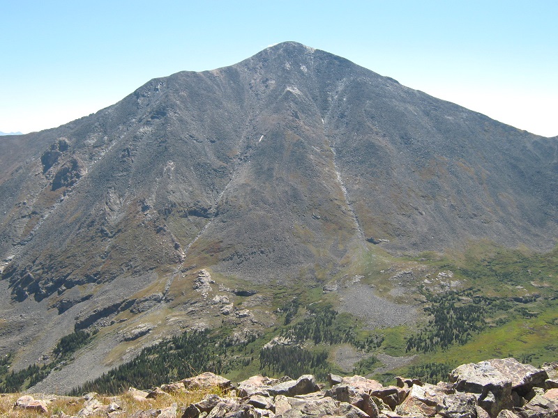
After 15 minutes on Chipeta I left and dropped about 200 feet down on a talus slope to the 12,660 foot saddle between the two peaks, then commenced the stiff 800 foot grind up to Unnamed 13472.
the slope up to unnamed 13472. it was steeper than it appears in this photo.
The steep slope had some grass and quite a bit of talus, and after paying my dues I stepped onto the nice summit at 1250, a little less than hour after I had left Chipeta. It was a beautiful day, with a soft breeze blowing from the west, and I thoroughly enjoyed the expansive views from this summit through the crystal clear air.
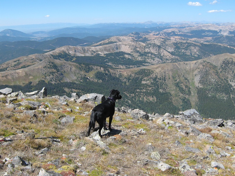
my hiking companion checking out the view to the west
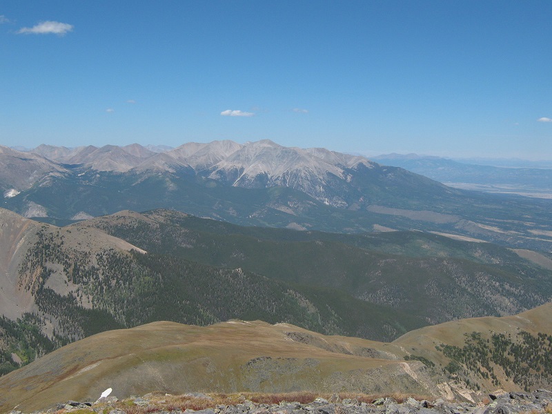
view of the sawatch range to the north, with mt. shavano in the center
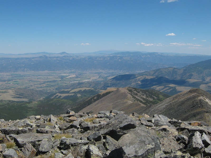
salida is down there in the arkansas river valley, and pikes peak lies beyond on the horizon.
the sangre de cristos stretch away into the distance.
mt. ouray
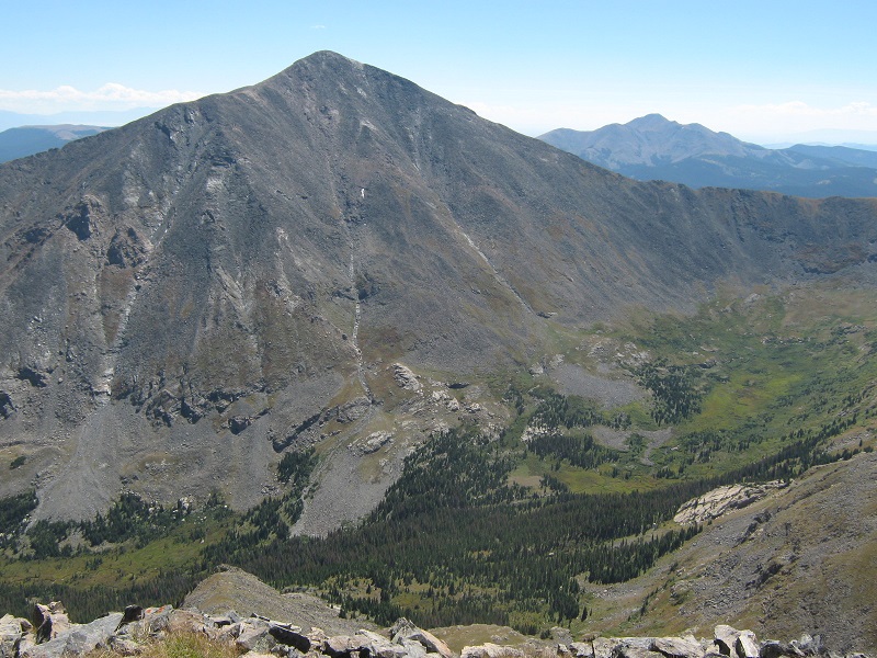
chipeta, with the snow near its summit, looked pretty diminutive down there.
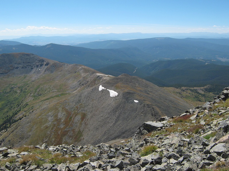
After half an hour I left and hiked back down the slope to the saddle. I didn’t care to re-climb Chipeta so I contoured around its western side on talus slopes that were a little annoying but reasonable. I thought about going down the slope to the west directly into the valley below but was deterred by the extensive talus slopes visible below. I soon worked my way back around to the grassy ridge south of Chipeta and then went down the long grassy slope I had come up earlier, dropping about 600 feet down to regain the Colorado Trail.
going down the grassy slope to the colorado trail, which is down near the edge of the trees.
When I got back on the trail I clipped back to the trailhead in the golden afternoon sunshine, and I arrived there about 4 pm.
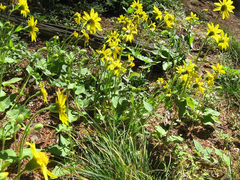
wildflowers along the trail
Beautiful September days like this one are my favorite days for mountain climbing!