CINNAMON MOUNTAIN
(12,293’)ANTHRACITE MESA
(11,269’)August 20, 2019
By Tim Briese
Cinnamon Mt.: 1.9 miles, 1000’ elevation gain, 2:30 roundtrip time
Anthracite Mesa: 1.2 miles, 400’ elevation gain, 0:45 roundtrip time
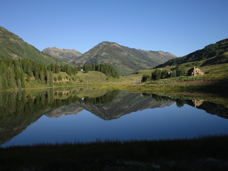
Brian and I drove up the Slate Creek Road from Crested Butte on a beautiful August morning, negotiating a couple of narrow shelf stretches before reaching Paradise Divide.
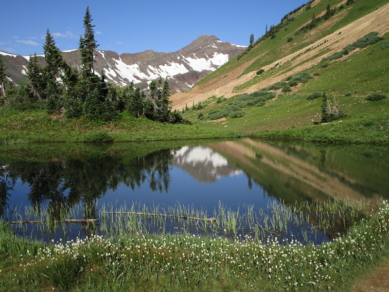
reflection on a lake along the slate creek road
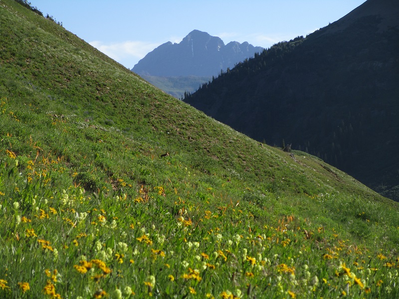
cinnamon mountain looms ahead from the slate creek road
Paradise Divide is well named, and is truly one of Colorado’s spectacular beautiful places, and we spent some time here taking photos on this bright sunny morning before embarking on our climb.
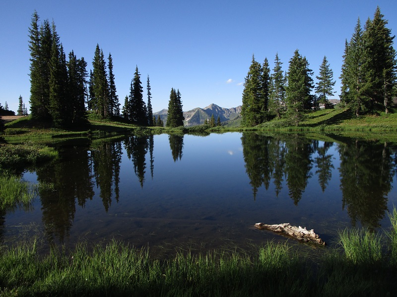
a lake at paradise divide
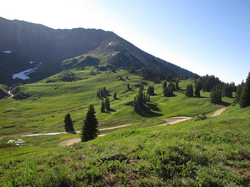
verdant slopes around the divide
south maroon peak
purple mountain rises beyond a pond at paradise divide
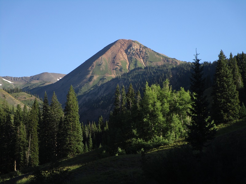
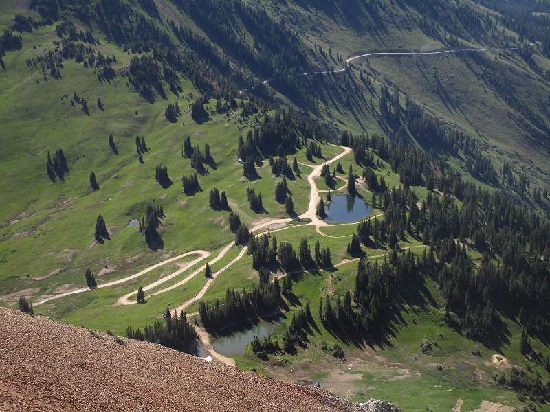
cinnamon mountain towered above directly to the north
We parked in a spacious area a short distance north of the lake and at 9 am embarked on a trail that rapidly climbed upward across the southeast slope of Cinnamon.
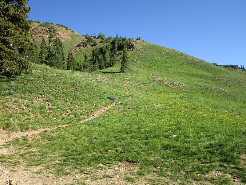
the beginning of the trail
The trail circled around to the east slopes of the mountain and then soon faded out.
the east slopes of cinnamon. the summit is at the upper left.

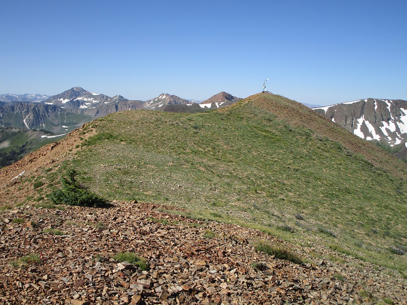
We bushwhacked upward on steep grassy slopes and then picked up a steep, loose trail that we followed northward up to the crest of the peak’s northeast ridge, then followed a nice trail along the crest of the gentle ridge to the summit.
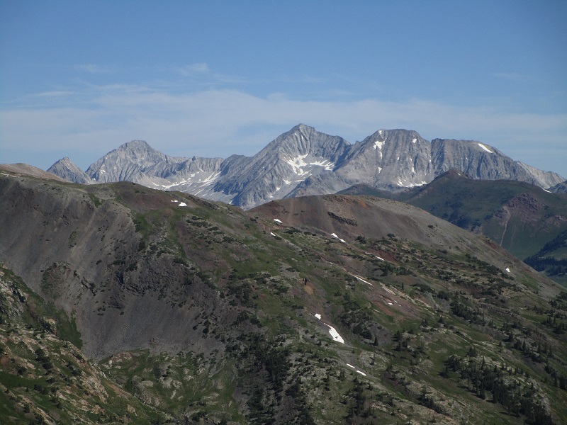
brian hiking up the trail on the peak's northeast ridge, with elk range peaks on the horizon
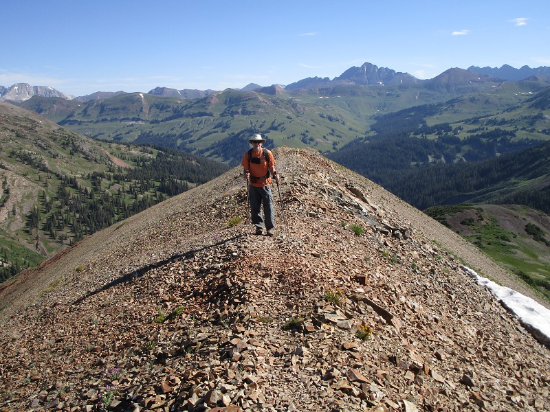
on the ridge approaching the summit
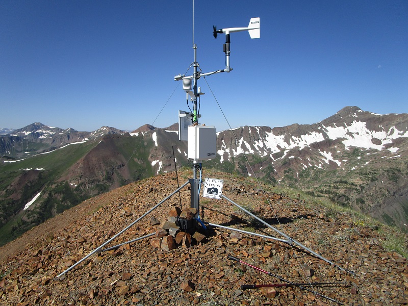
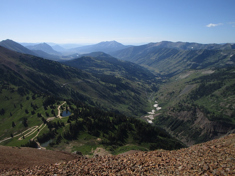
We arrived on top a couple of minutes after ten. This was an amazing vantage point on this beautiful morning, and we spent about 45 minutes on top soaking in the surrounding panoramic grandeur.
weather station on the summit
view down the slate creek valley
paradise divide
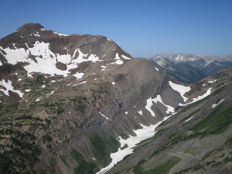
snowmass mountain, in the center, with hagerman peak to the right and siberia peak to the left
yule pass, at the right, and purple mountain to the left
We left the summit about 1050 and returned to the trailhead 40 minutes later.
From Paradise Divide we drove back down the Slate Creek Road 1.2 miles and turned left onto Road 811, the Washington Gulch Road. We followed this road about a mile to a saddle, where we intended to park and hike a short distance up the ridge to the south to Anthracite Mesa. However, there were ominous no trespassing signs posted at the saddle, and a fence to prohibit parking. It was unclear just where the private property began though, because there was also a national forest sign along the road a few yards west of the saddle. We decided to drive back down the road a couple of hundred yards and park at the trailhead for the Rock Creek Trail, and hike back up the road to do our climb. As we approached the saddle on foot we encountered a couple of locals on bikes who warned us, with a rather standoffish attitude, about the private property issue. We decided to hike back down the road a ways and head south into the national forest and angle up towards Anthracite Mesa, in the belief that this would avoid the private property. (I confirmed this to be correct later when I found a map on a forest service webpage that showed the private property boundary running southeastward from the saddle down toward the direction of the Elkton townsite.)
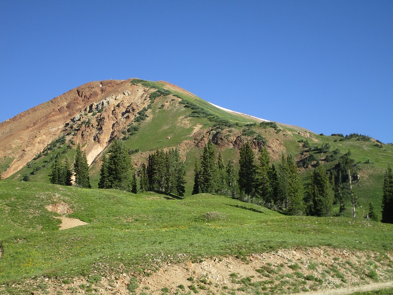
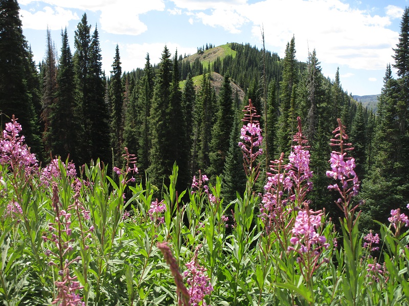
view of the summit of anthracite mesa from the road in the national forest west of the saddle
After bushwhacking through the woods for a while we picked up a trail that we followed up a ridge to the summit of Anthracite. We spent only a couple of minutes there before retracing our steps back down to the truck.