CIRQUE MOUNTAIN (13,692’)
August 29, 2023
By Tim Briese
5.0 miles, 2500’ elevation gain, 7:10 roundtrip time
Brian and I climbed Cirque Mountain back in 2007, summiting on what appeared to us to be the higher of two summit points about a hundred yards apart. We remarked at the time that we were glad we didn’t have to go over to the eastern point because it looked like a rough traverse to get there. Then along came Lidar elevation measurements in the last few years, esteemed for their precise accuracy, which showed the eastern point to be six feet higher than the western one we had been on. Brian wanted to go back and climb the actual summit and I was enticed to join him by the spectacular scenery of the climb and also because I was intrigued to take my surveyor’s hand level up there to compare elevations of the two points myself.
After staying in beautiful Ouray we drove up into Yankee Boy Basin early the next morning.
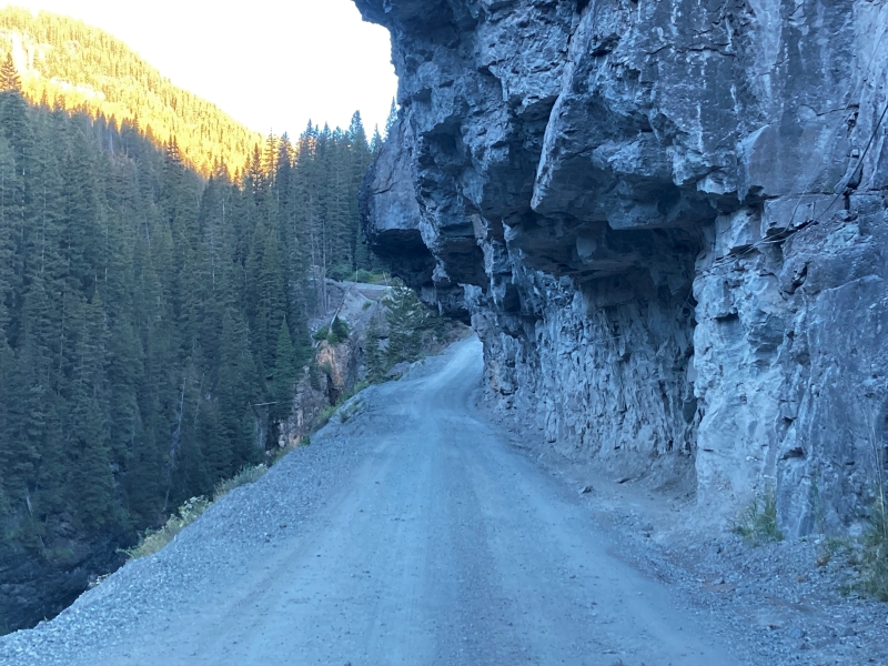
the road is a narrow shelf here
The last part of the drive required 4WD and we parked in a small parking area at about 11,300’ before the road got really rough. At about 740 we started hiking up the road from there in the enchanting early morning light.
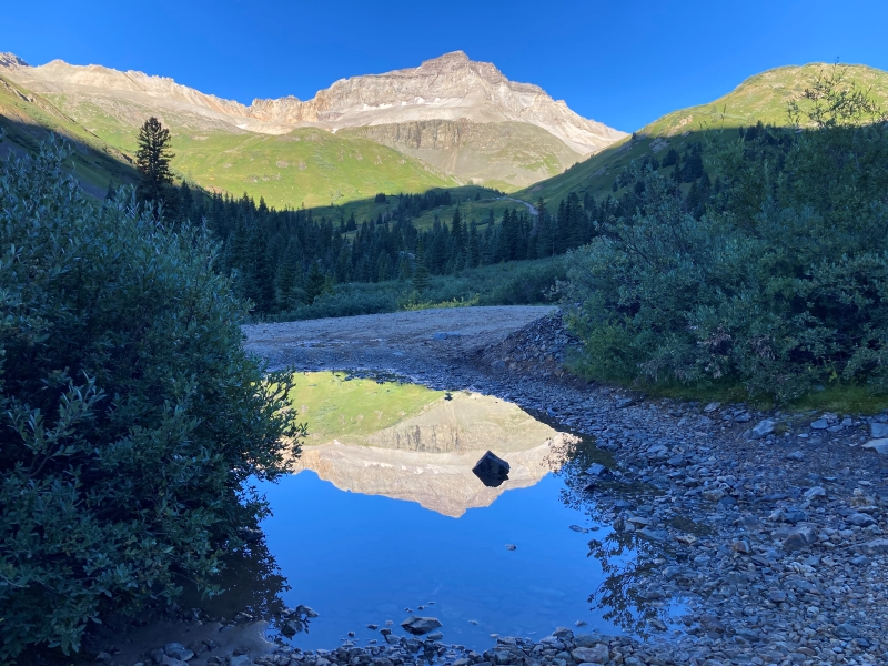
a reflection of gilpin peak
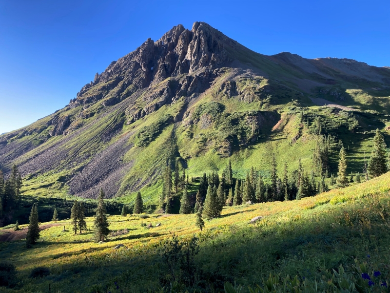
stony mountain in the early light
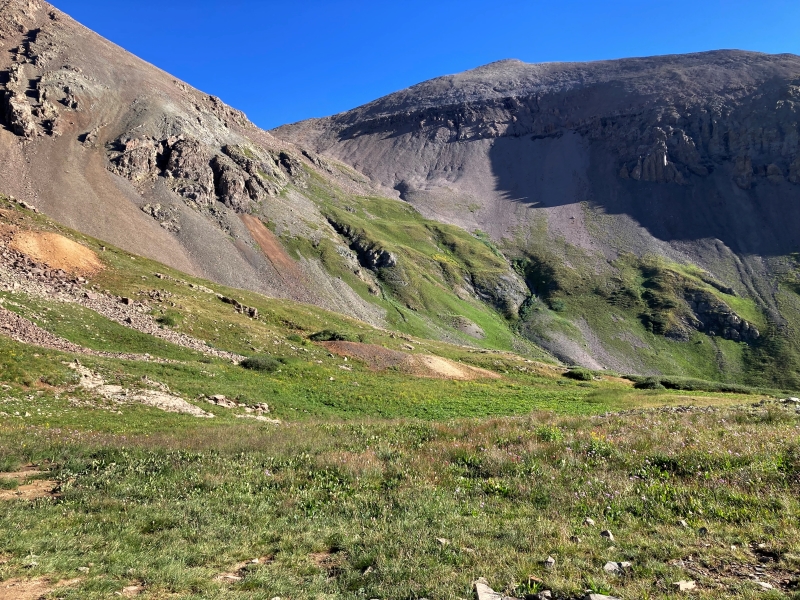
We left the road at about 12,100’ and contoured around a grassy basin to the north then hiked up a steep slope toward the saddle between Mt. Sneffels and Cirque Mountain.
we hiked cross country toward the saddle at the upper left
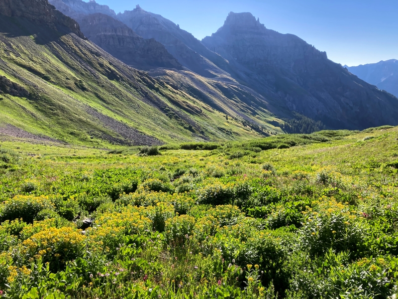
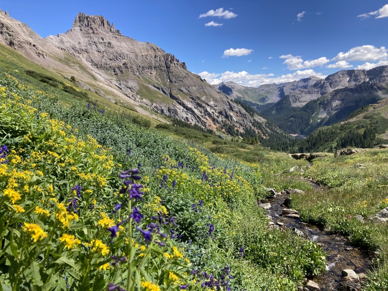
nice wildflowers along the way
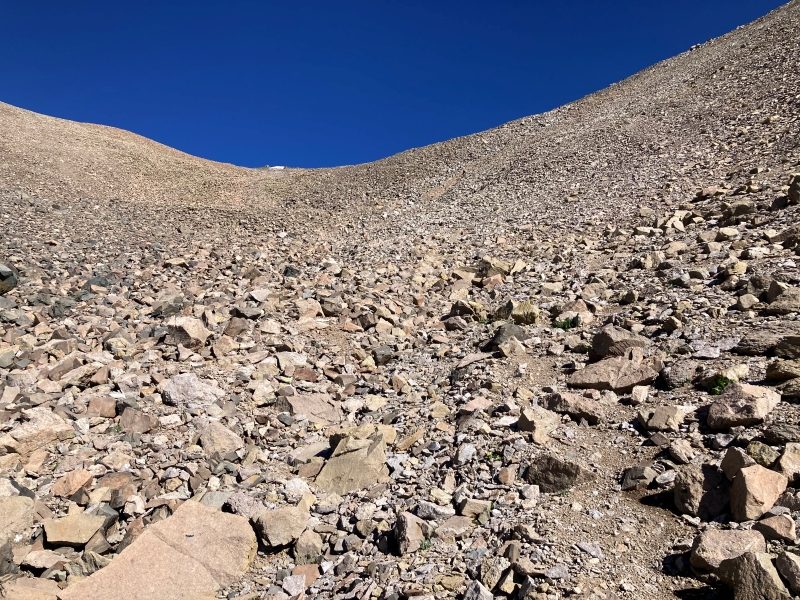
We hiked up steep grass to almost 12,700’ before engaging a scree slope up to the 13,000’ saddle.
the scree slope up to the saddle
view of mt sneffels, at the right, from the saddle
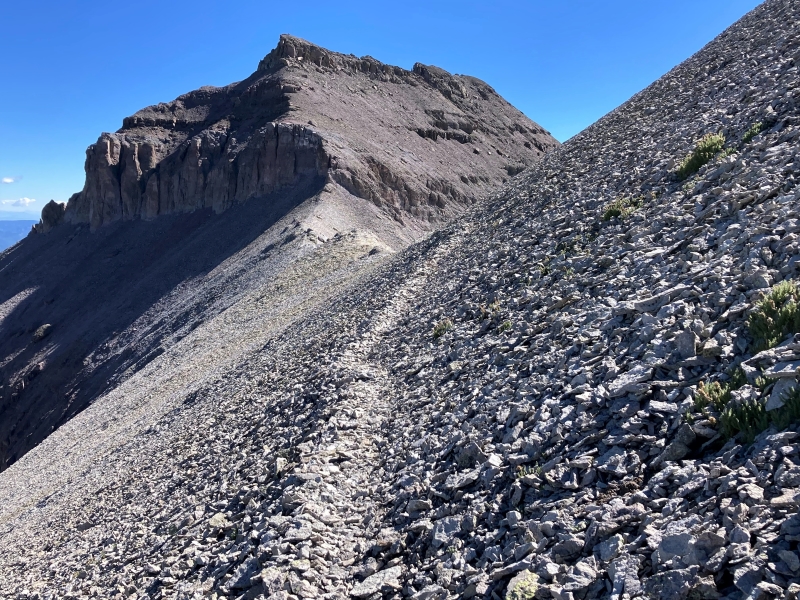
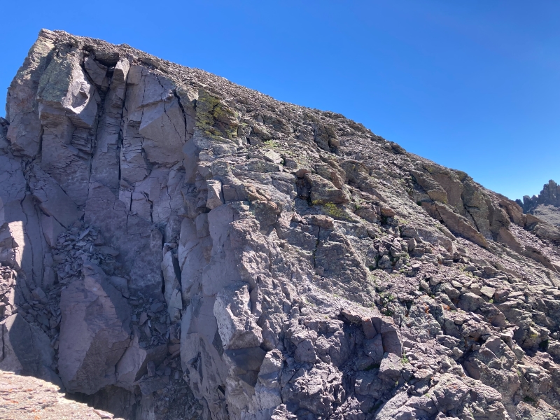
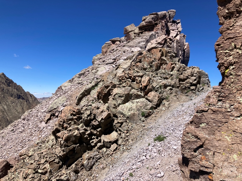
After a nice break we continued east up the ridge toward Cirque. The peak looked pretty imposing as we approached, with two cliff bands to negotiate.
on the trail to cirque, straight ahead
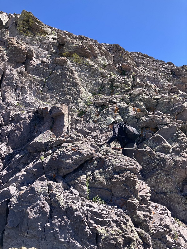
there is a lower and upper cliff band that we had to climb up through
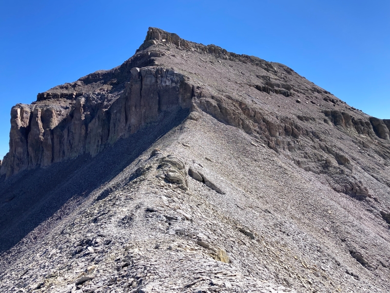
There was a decent trail up through the steep, loose talus and scree.
brian is about to climb up through the upper cliff band

Soon we stepped on the western point where we had been 16 years before, almost to the day. The ascent took us about three and a half hours.
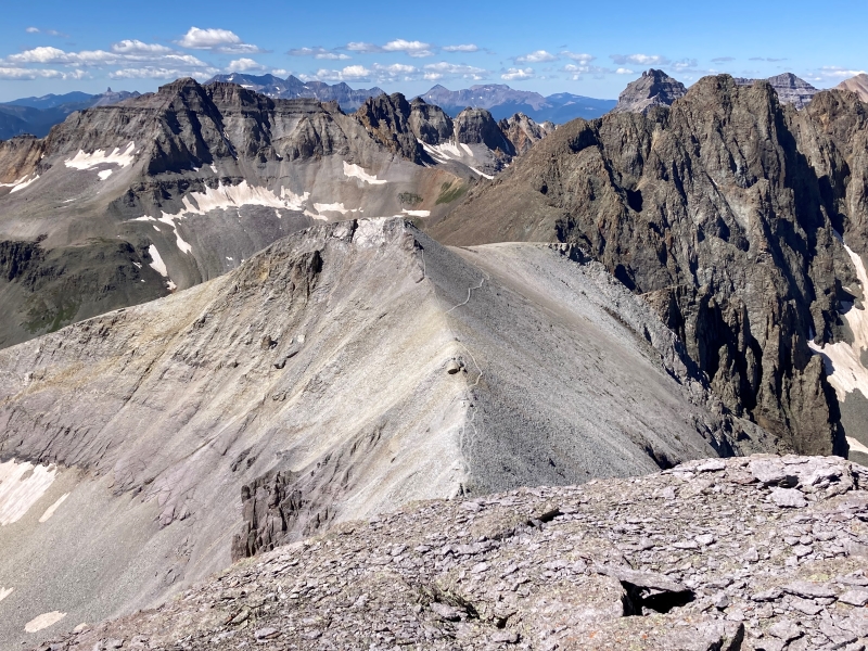
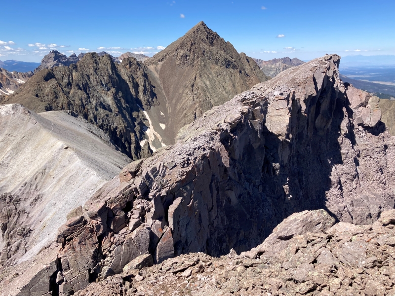
looking down at the approach trail we hiked along the ridge, with numerous spectacular peaks beyond
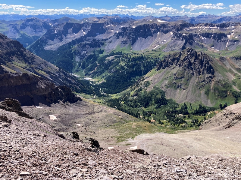
the view down into the basin where we started the climb
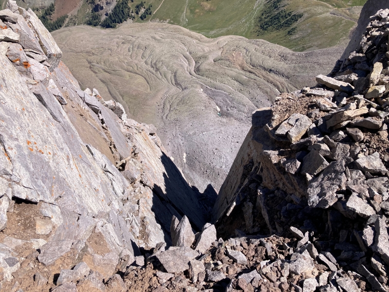
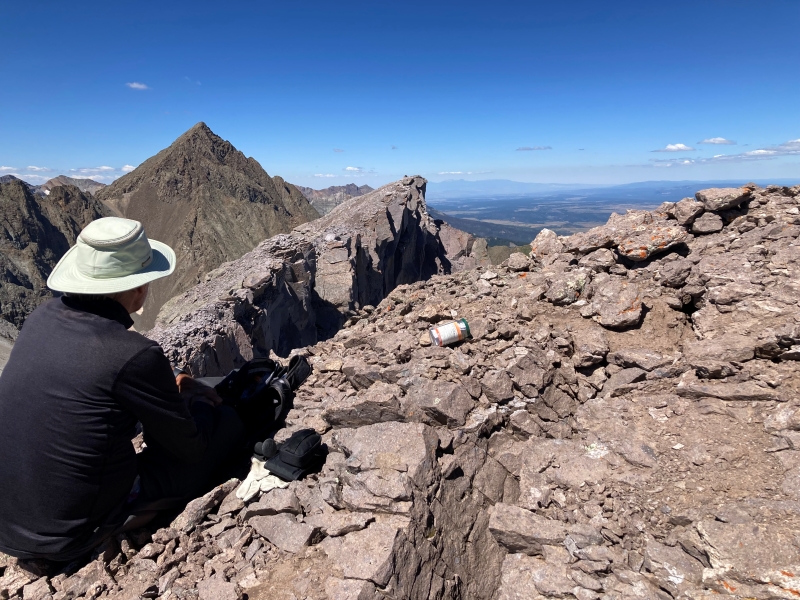
the higher eastern point on cirque's summit ridge, at the far left, with teakettle Mt. and potosi peak beyond
a rock glacier in the basin far below to the north
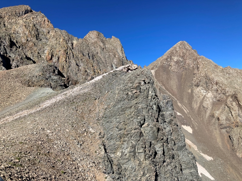
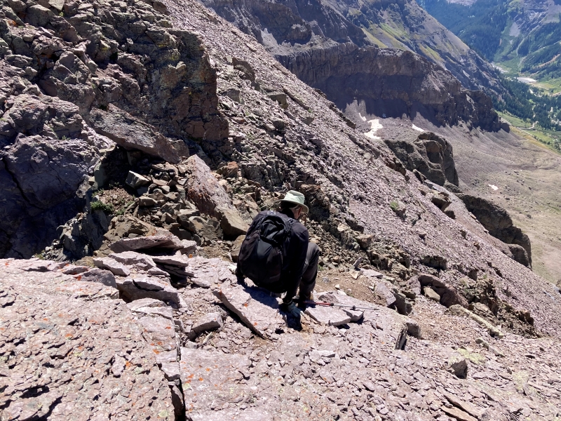
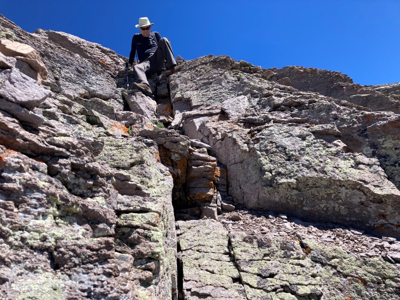
I pulled out my hand level and judged that yes, the eastern point was likely a bit higher. Presently we headed over to the other summit, determining that staying near the airy ridge crest was safest and most solid. Brian led the way with some Class 3 climbing down to a sharp notch and then up the steep rocks on the other side.
brian climbing down to the notch between the two summit points
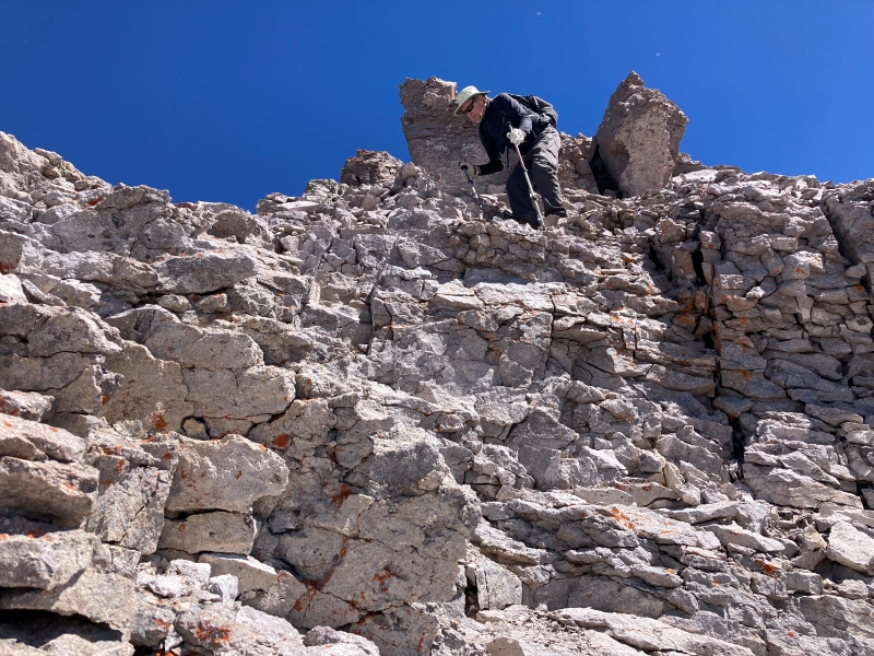
the slope up to the eastern summit point
brian climbing up through the rocks toward the eastern summit point
Personally I found the whole thing a little unnerving, with loose talus everywhere on steep slopes that looked like they could easily start sliding down - way, way down. After about 25 minutes we reached the eastern point and claimed it.
brian on the eastern point looking back at the western point, with mt. sneffels beyond at the left
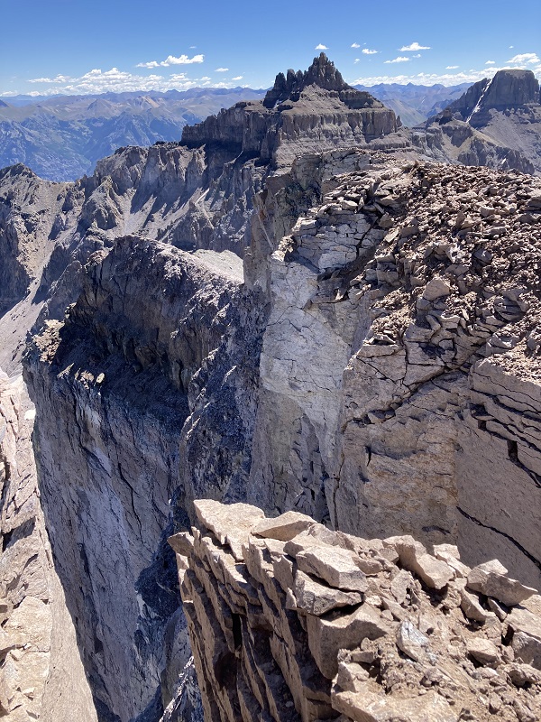
There were sharp dizzying drops of a couple thousand feet over the edge to the north.
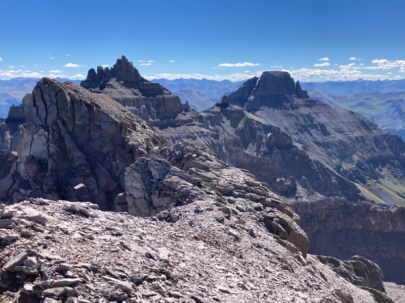
cliffs on the north side of the ridge, with teakettle mountain beyond
I pulled out my level again and looked back at the other point.
photo by brian schultz
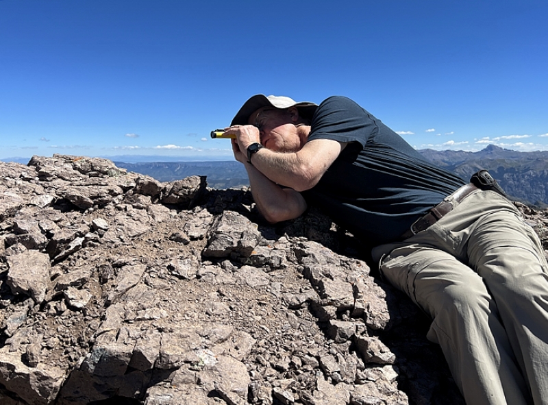
The distance between the points was a little greater than I remembered, which stretched the precision of my instrument, but I estimated this eastern point to be about two feet higher than the other one. A surveyor’s transit would have been much more accurate. After spending a few minutes here we headed back over toward the other point, carefully negotiating the steep loose talus and then the rocks on the other side of the notch.
the notch, lower left, and the ridge back to the western point
another look at the notch and the ridge we climbed back up
Then we hiked back down the steep trail off the summit and negotiated the cliff bands.
brian coming down through the upper cliff band
brian approaching the descent through the lower cliffs
It was a relief to get back on safe and easier terrain.
This climb was a reality check for me. Sixteen years ago it seemed like a much easier hike, on terrain that I routinely engaged back then. In fact, Cirque was probably the easiest of the six peaks around Yankee Boy Basin that I climbed back in those days. Today it was a tough, nerve-wracking endeavor for me. My tolerance for steep, loose rocky terrain certainly isn't what it used to be; in fact, it seems to have all but evaporated. Maybe my heart surgery 4 months ago changed my perspective on things. Maybe it was simply the passage of time that had done so. But it was a spectacular climb. That made it all worthwhile!
From the saddle we went down steep grassy slopes into a flowery drainage and made our way to the road, intersecting it a short distance above where we had parked.
flowers on the descent slopes
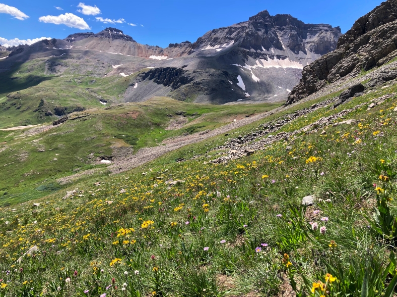
a lush flowery drainage
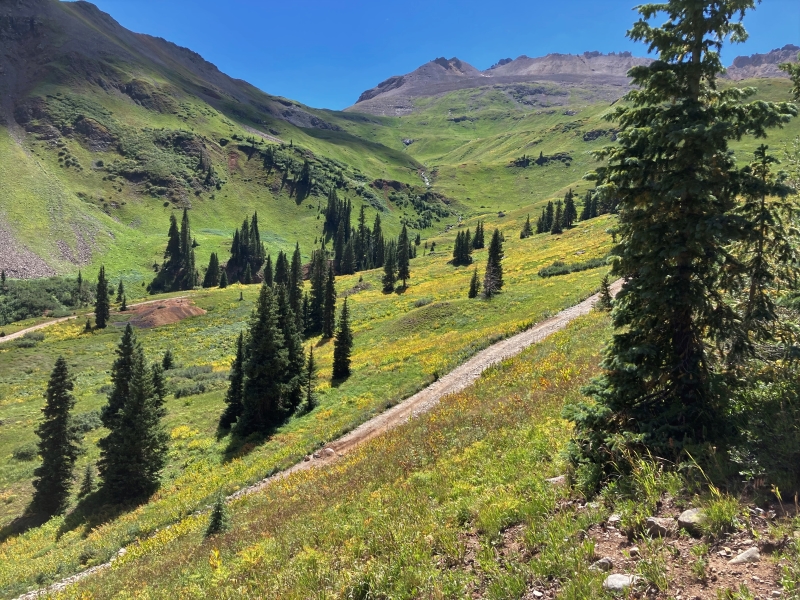
beautiful yellow and green slopes as we neared the road
It was a gorgeous day today, with perfect weather, in one of Colorado’s most spectacular places.