UNNAMED 10989
COCHETOPA DOME (11,132’)
UNNAMED 10998
August 29, 2020
By Tim Briese
Unnamed 10989: 1.9 miles, 600’ elevation gain, 1:25 roundtrip time
I met Brian at North Pass on Highway 114 the evening before and we drove about a mile west from the pass and turned right onto FR 785 and followed it a couple of miles to 10,400’ Lujan Pass, where we camped for the night. The pass area had an expansive flat meadow ideal for camping and the road to get there was excellent. The next morning was cloudy and damp and we presently began bushwhacking up the wooded ridge to the south toward our summit.
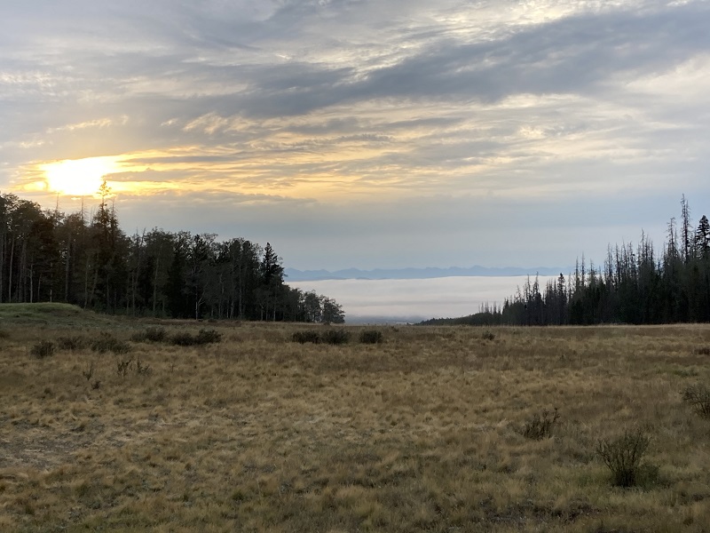
view of low clouds in the san luis valley in the morning from camp, with the sangre de cristos beyond
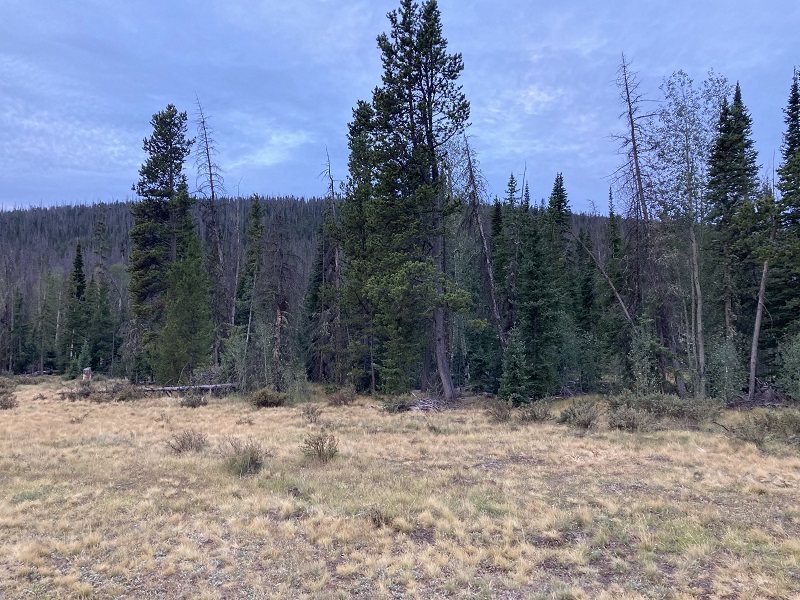
view of unnamed 10989 from camp
We crossed an apparent logging road on the way up and noted several pink ribbons on some trees that may have had something to do with a timber operation. The bushwhacking was reasonable with some deadfall, and in 45 minutes we reached the cairned summit.
on the summit
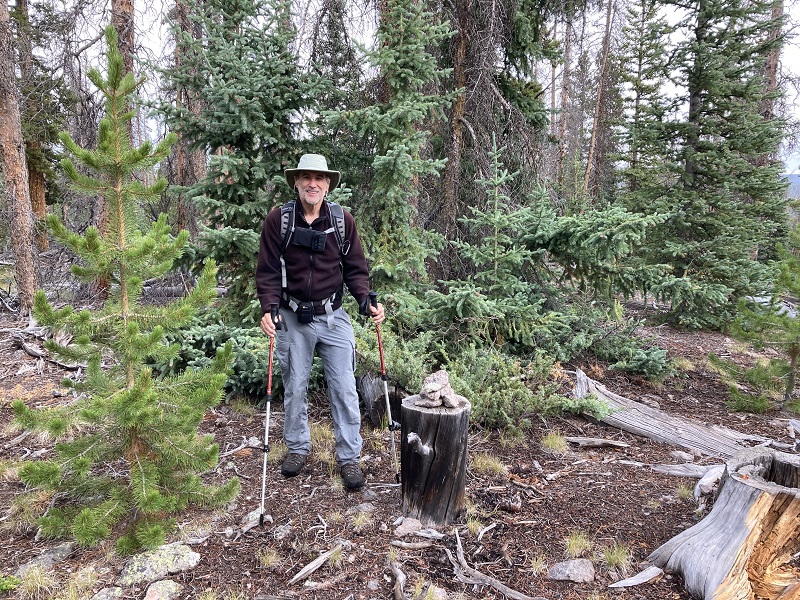
After 5 minutes we headed back down.
Cochetopa Dome: 3.6 miles, 1100’ elevation gain, 2:55 roundtrip time
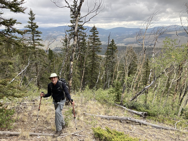
This peak wasn’t necessarily on the itinerary today, but it was a ranked, prominent, and named peak nearby which made it an attractive prize. We turned south onto Road 17GG (shown as FR 804 on my TI map) off of Highway 114 about 5 miles west of North Pass. We followed 17GG about 4 miles and turned right onto faintly marked FR 804.1F, and followed this track a little over a mile north and turned left onto FR804.1D, an even lesser used track. We drove it west about a half mile or less up to its end in the trees. From here we took off about 10 am and found a trail that went uphill to the west toward Cochetopa’s southeast ridge. When the trail soon faded out we simply bushwhacked up a fairly steep grassy slope to gain the top of the broad ridge.
brian bushwhacking up the slope
Rain began to patter down and continued for the next hour or more. Once we were on top of the ridge the rest of the way was relatively simple, a long gently ascending bushwhack northwest through the aspens and pines a mile or so to the summit.
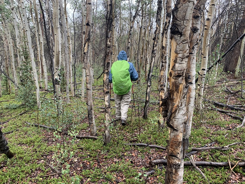
bushwhacking through some aspens in the rain. photo by brian schultz
There was a fair amount of deadfall but it was not too troublesome to avoid. We surprised some elk in the woods along the way. It took us about an hour and a half to reach the cairned summit from our parking area.
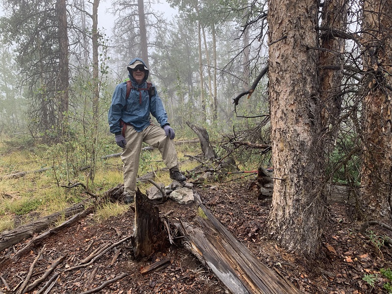
on the summit. photo by brian schultz
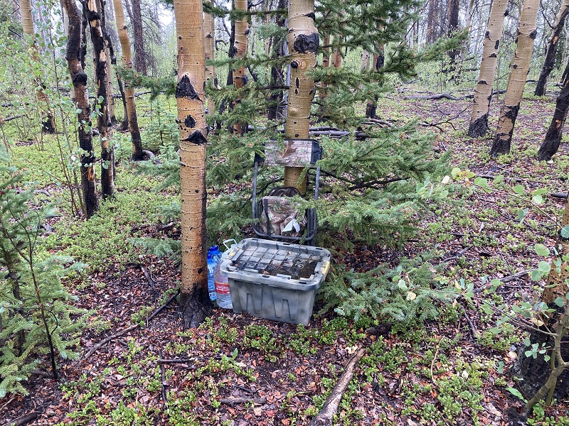
It was raining and chilly on top with no views so we promptly departed after a couple of minutes and headed down. On the way back down we passed by a hunter’s cache in the woods.
i hope the owner has a gps to find his cache!
The weather improved as we hiked down and presently it became sunny with a cool northwest wind and it stayed that way for the rest of the day.
Unnamed 10998: 2.9 miles, 900’ elevation gain, 1:55 roundtrip time
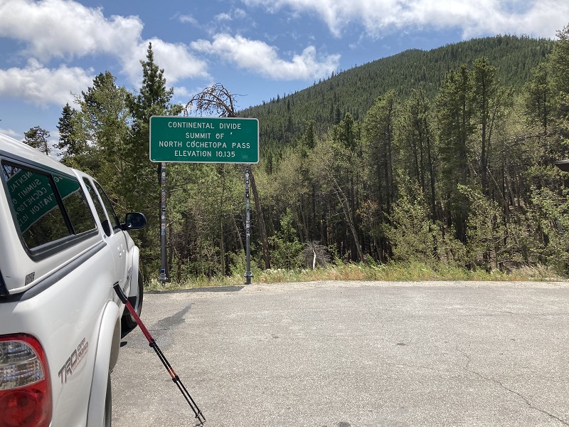
We drove back to North Pass, parked at the summit, and headed up the ridge to the south at 2 pm. This ridge is right on the crest of the Continental Divide.
the ridge to unnamed 10998 is at the upper right
It was a modest bushwhack up through the trees, with a trail of sorts part of the way, and an open spot part way up with nice views off to the west.
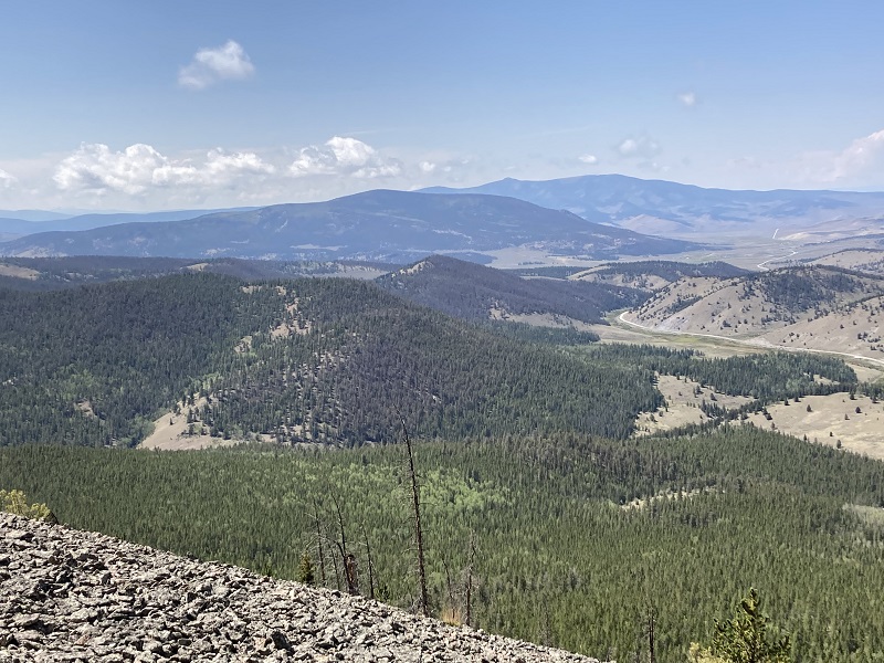
cochetopa dome is the closer peak on the skyline, just to the left of center. highway 114 is to the right.
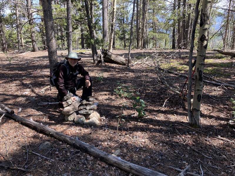
When the trail faded to a bushwhack we found the going much easier along the west side of the ridge where there was far less deadfall. We reached the summit in about an hour and found a cairn marking it in the woods. This summit even had a register, featuring names like Gerry Roach, and remarkably, some fellow who noted that he had climbed up here every year since 1986.
on the summit of unnamed 10998
After a few minutes we departed and hiked back down to the pass in 50 minutes.