CONFLUENCE OVERLOOK TRAIL
CANYONLANDS NATIONAL PARK, UT
March 18, 2021
10.5 miles, 1600’ elevation gain, 6:30 roundtrip time
The Needles District of Canyonlands National Park is one of my favorite places in Utah, well, maybe in the whole world actually. I’ve made many trips there over the past 35 years and it never gets old to me. It’s a big hiker’s playground. I have hiked most of its trails, but the Confluence Overlook Trail was a new one for me.
On a crisp morning in March I drove to the trailhead at the end of a nice paved road in the park.
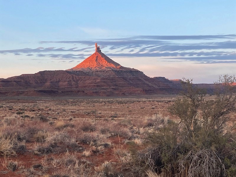
early light on north sixshooter peak as i drove toward the park
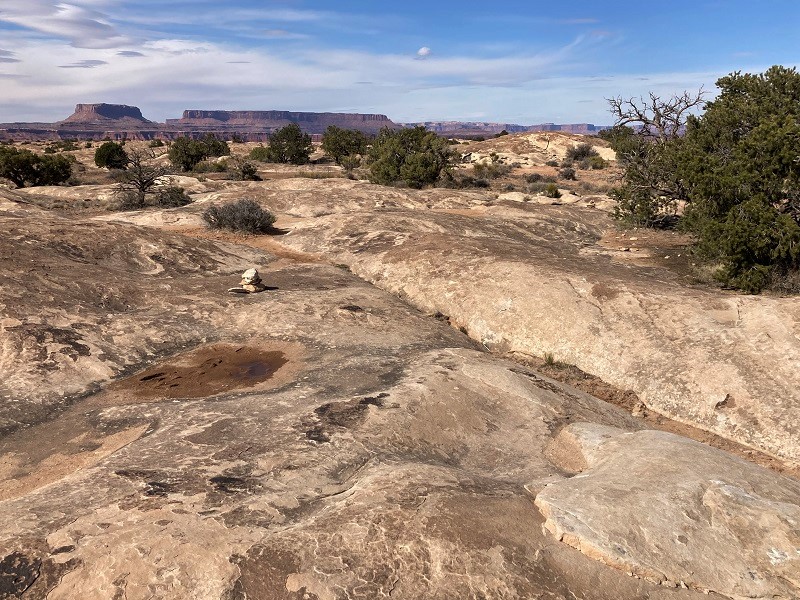
There was only one other vehicle at the trailhead. The cairned route immediately descended a couple of hundred feet into Big Spring Canyon and ascended back out on the other side.
near the start of the trail, which descends into big spring canyon, at the right
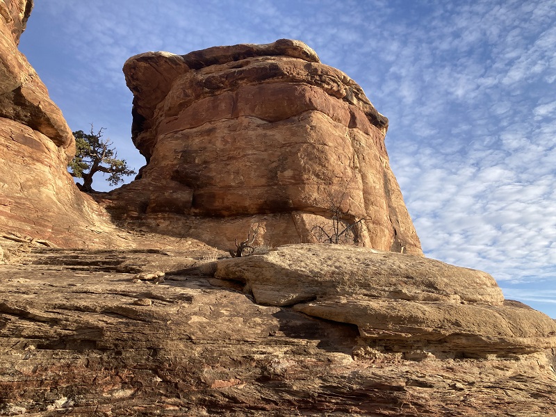
a rock formation near the start of the trail
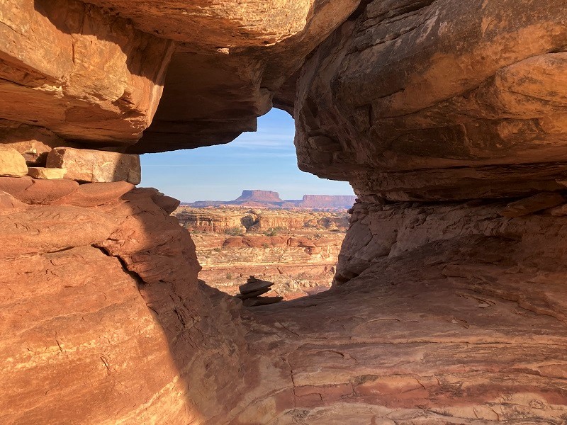
the trail went through this rock window above big spring canyon
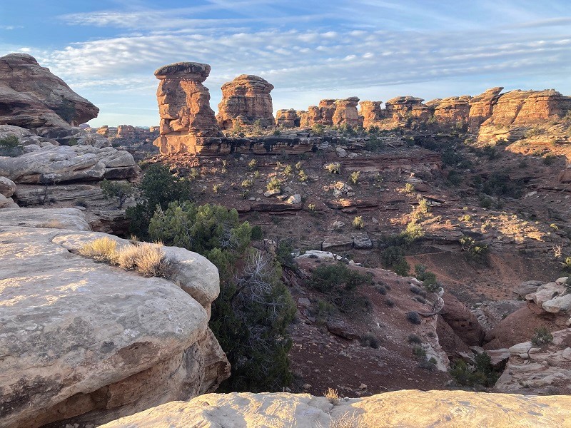
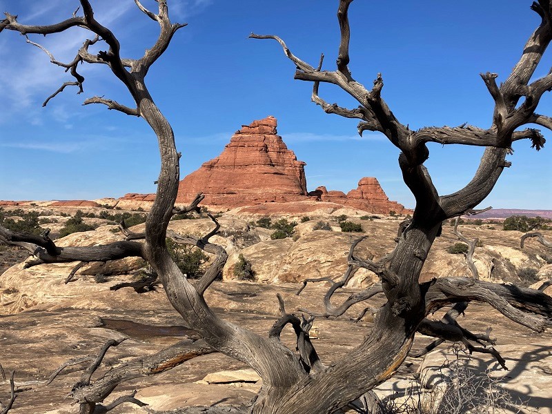
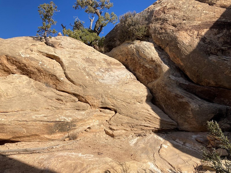
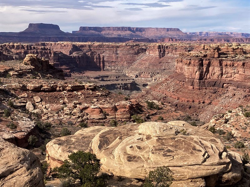
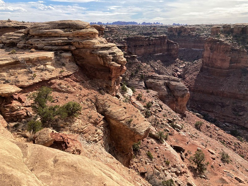
For the next several miles the route wound through widely varied and colorful terrain, with unexpected surprises around every corner, which makes hiking in the canyon country so much fun – slickrock slopes, sandy washes, dark cracks, narrow ledges, steep pour-offs, and much more – literally a hiker’s fantasyland.
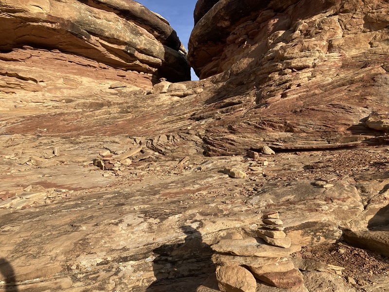
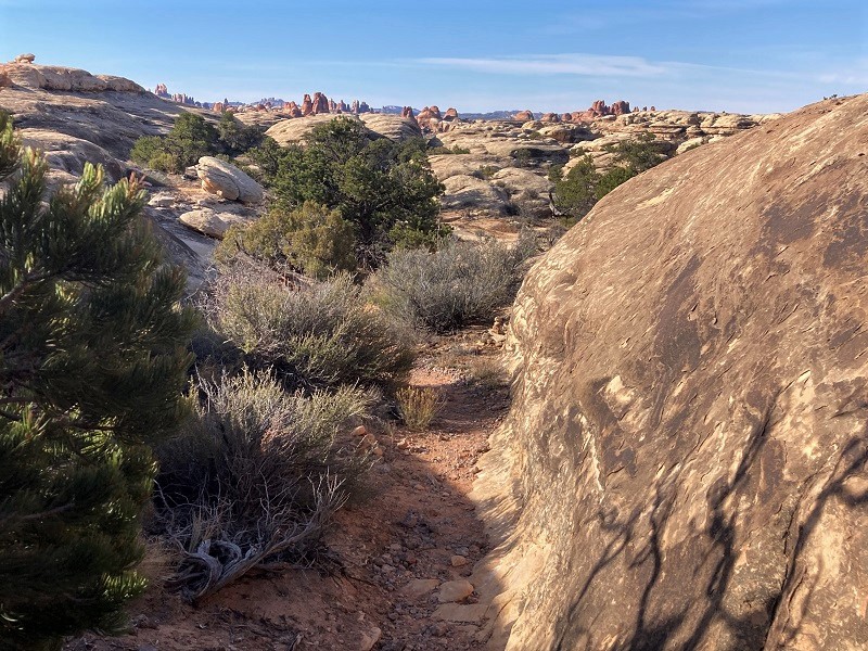
an example of a slickrock slope marked by cairns
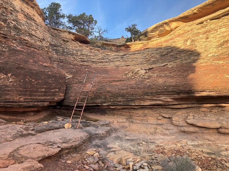
a handy ladder to navigate this obstacle
the route weaves through the middle of the photo
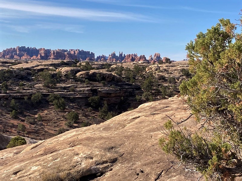
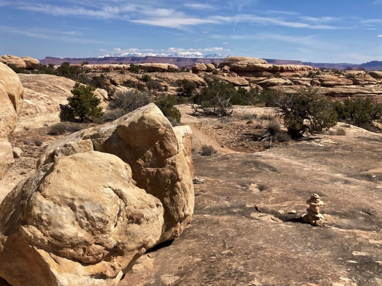
a view of the distant needles to the south
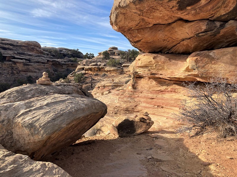
a tricky spot to navigate here, from the cairn at the upper left down to the lower right
the trail winds through junipers, sand, and slickrock
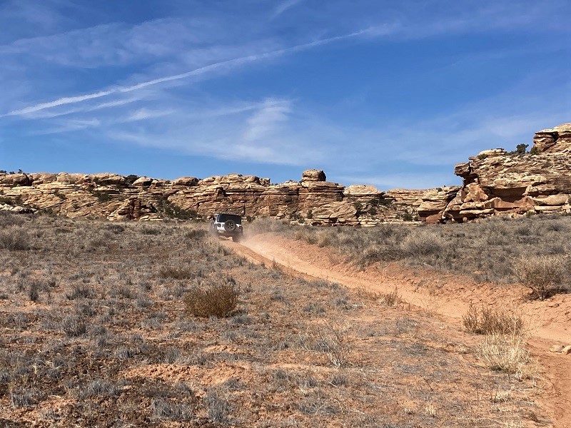
The first hikers I met were a couple of young backpackers returning from an adventure to the Maze District, which they accessed by floating across the Colorado River in a raft. Toward the end of the hike the route followed a 4WD road for a short distance that is accessed by jeeps via the notoriously difficult Elephant Hill.
a jeep roaring down the 4wd road
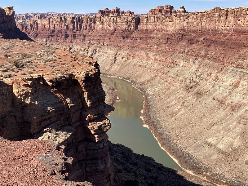
On the final half mile the trail took me up a slope and brought me to the canyon rim where the confluence of the Colorado and Green Rivers was visible over a thousand feet below.
the confluence of the green river, at the left, and the colorado river, at the right
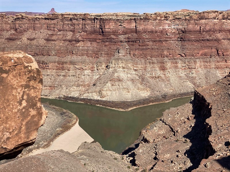
the colorado river flowing down the canyon below the confluence
After enjoying this spectacular spot by myself for a while I started hiking back. I met more hikers on the trail now, including a couple of trail runners who deftly trotted through the trail’s difficulties.
a view of the distant la sal mountains on the way back
By the time I returned to the trailhead at mid afternoon the IT band on the side of my knee was very painful, aggravated by the rough terrain and the rapid pace I had set. But in spite of that I pushed on and also hiked the short Slickrock Trail nearby and the even shorter Pothole Point Trail that afternoon before calling it a day. I was pretty whipped after covering some fourteen miles today.
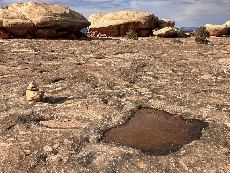
the slickrock trail is a nice pedestrian route for the whole family over seemingly endless and nicely cairned beige-colored slickrock
a view to the north down into big spring canyon from the slickrock trail
a view to the south into big spring canyon
pothole point is named for the numerous pools of water that collect on the flat rock after a rain