"COTTON KING PEAK"
(13,490’)June 28, 2017
By Tim Briese
14.5 miles, 5300’ elevation gain, 11:30 roundtrip time
I chose a route to this Sangre de Cristo peak purely by studying a map and satellite photos, thinking that it would be an interesting challenge to do so, instead of perusing internet trip reports for guidance as I usually do. My plan was to take the Rito Alto Creek Trail over 5 miles up to about 10,900 feet then bushwhack north up into Kolkman Basin and on up to the ridge and the peak. As it turned out, the Cherry Creek Trail approach would be worth consideration as an alternative. For this climb though I was concerned about possible snow remaining on that route on north facing slopes for this June climb.
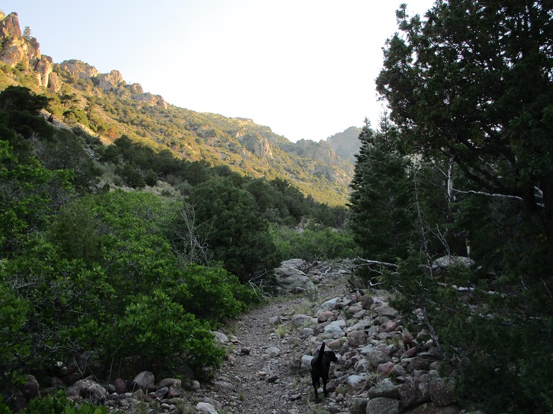
I left home at 325 am with my lab Abby and drove around to the west side of the Sangre de Cristos and reached the Rito Alto Creek Trailhead at 645. The trailhead lies at an elevation of about 8500’. I hit the trail at 7 and immediately encountered voracious mosquitoes which bothered me all the way up the valley for the next few hours. I could do nothing but swat them off since I regrettably had no repellant along, which won’t happen again!
the first part of the rito alto creek trail
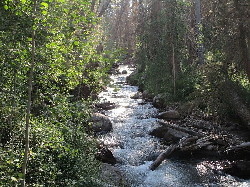
rito alto creek
I found the trail to be slower going than I expected, with rocky footing much of the way and quite a few downed trees across the trail. This trail is apparently lightly used. I’ve found that trails on the east side of the Sangres are often rough and rocky, but those on the west side seem to be smooth and sandy, but this one was an exception.
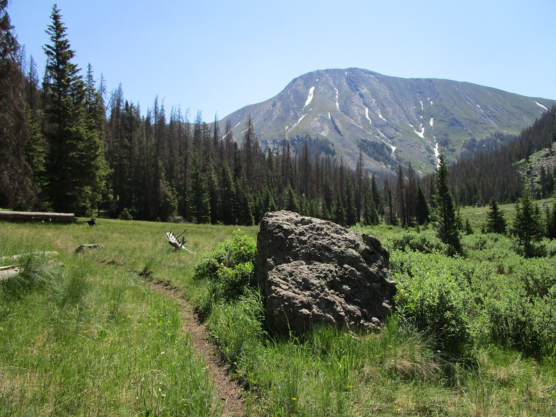
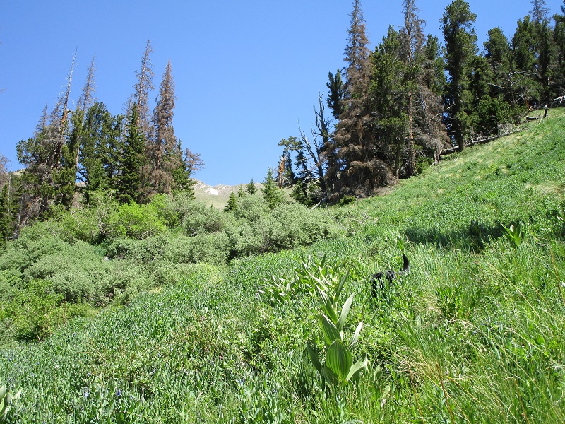
I had satellite photos of a meadow where I wanted to leave the trail and after carefully studying my map and photos I found the meadow with no trouble. It took longer to get here than I expected though, and I was beginning to wonder if I would have enough time to climb this peak today. Fortunately the weather was perfect with no chance of storms.
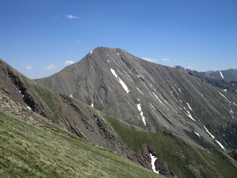
the meadow where i left the trail. rito alto peak looms ahead.
i went north from the meadow and entered the woods here
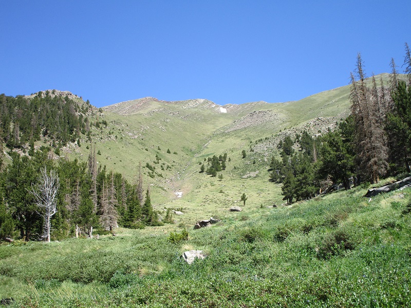
At 1040 I left the meadow and began a steep and rough bushwhack up a wooded slope to the north, with numerous downed trees adding to the challenge. I stayed on the east side of a little drainage and found the going to be better closer to the drainage. After climbing about 500 feet of elevation gain from the trail I left the trees and reached much easier terrain in grassy Kolkman Basin. I spotted a nice grassy route all the way up to the ridge west of the peak, involving a stiff 2000 foot climb on steep grass.
the slope up through the last of the trees
kolkman basin. i took the grassy slope up to the ridge at the upper right. cotton king is out of sight to the right.
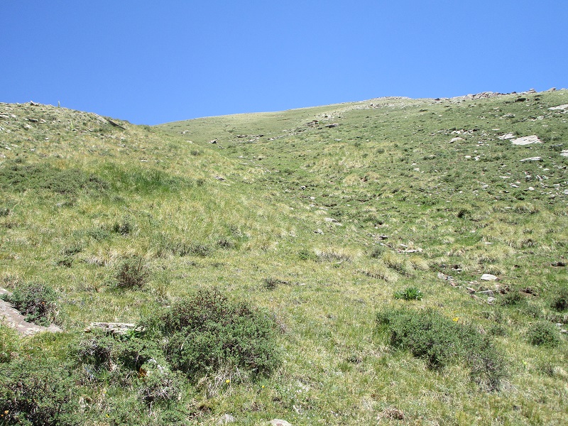
I kept looking at my watch and decided I had to set a 2 pm turnaround time because I had a long hike back and a long drive home that evening. I climbed as fast as I could up this slope, at a rate of about 1200 feet per hour.
on the way up the long grassy slope
looking back down at kolkman basin and the valley i climbed up out of
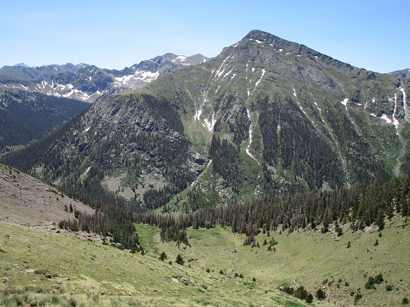
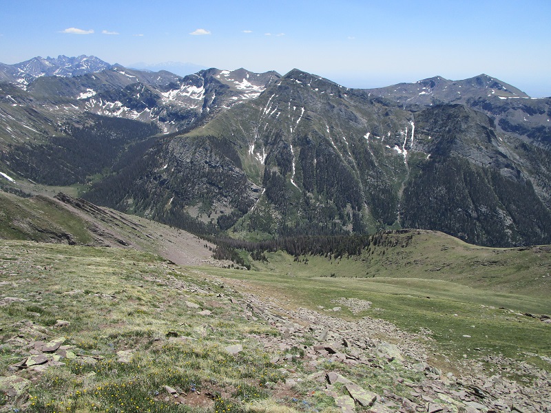
there was a great view of rito alto peak to enjoy on the way up the slope
I reached the crest of the ridge about 0.4 miles west of the summit at 1 pm.
approaching the crest of the ridge as abby cools off on a patch of snow
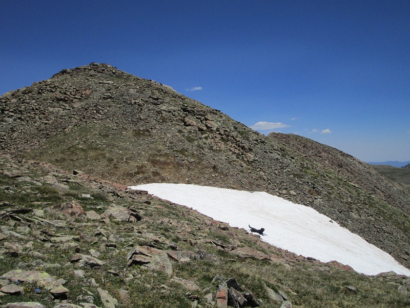
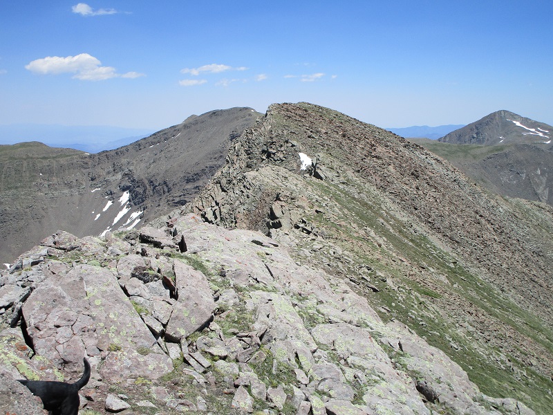
The ridge was a little rough in spots, and I assisted Abby in a place that intimidated her.
on the ridge approaching cotton king
I stepped on the summit at 130 and enjoyed the great views all around on this beautiful day. There was a chilly wind blowing from the north, and I found a wet register that was difficult to write in.
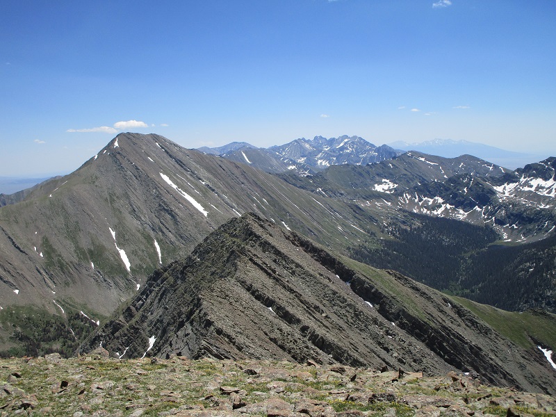
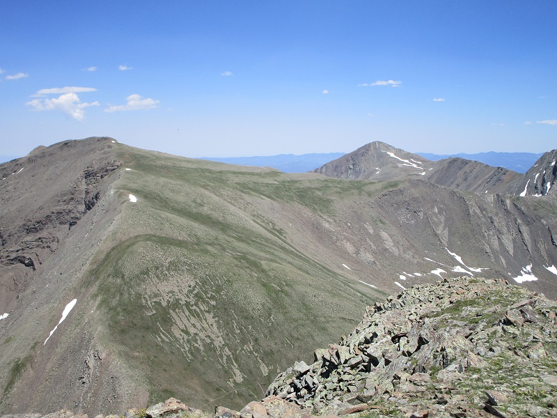
view to the south, of rito alto peak at the left, the crestones in the distance, and the blanca group in the far distance
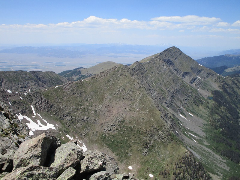
view to the east of silver peak at the left and spread eagle peak to the right
view to the northwest of mt. owen
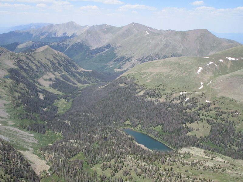
view to the north of cotton lake and peaks beyond
I left at 145 and made a rapid descent back down the long grassy slope.
heading back down the slope
My legs were a little rubbery after this descent so I sat down and rested them a bit when I reached the basin. Then I made the steep bushwhack back down through the trees and reached the trail at 330. After a while I saw a lone backpacker coming up the trail, the only other person I saw on this hike all day. It took three hours to hike back down the trail to the trailhead, almost as much time as it had taken to hike up, due to the rough rocky footing. I told myself that I’ve got to choose an easier climb for my next one! The mosquitoes were very bad, especially on the lower part of the trail, and I resorted to putting on my wind coat to keep them somewhat at bay, which was stifling in the 80 degree heat. Abby pawed her face and rolled on the ground at times to try to get the mosquitoes off of her. I finally tramped back to the trailhead at 630 and headed for home. I got home at 1030, completing a very long but satisfying and rewarding 19 hour day.