COYOTE GULCH, UTAH
March 18, 2023
By Tim Briese
11.5 miles, 800’ elevation gain, 8:30 roundtrip time
Coyote Gulch is one of the most spectacular canyons in the Colorado Plateau, complete with soaring walls, deep alcoves, arches, waterfalls, a natural bridge, and a perennial stream. It is many miles long, best suited for backpacking, and it is remote with challenging access. In 2021 Teresa and I explored the lower end of it via the Crack in the Wall access and in 2022 I went down the technically difficult Sneaker Route to explore the canyon from Jacob Hamlin Arch to Coyote Natural Bridge. The last section we wanted to explore was upstream for a few miles from Jacob Hamblin, reputed to be a spectacular narrower section with high walls and deep alcoves.
The most common way to visit this section entails a lengthy hike of at least 14 miles roundtrip from the Hurricane Wash Trailhead, which would certainly push our endurance limits. However I found online a few vague references to another obscure route from the vicinity of Chimney Rock which offered a shortcut into the canyon and would shave several miles off the hike. I was intrigued. I spoke to a couple of fellows at the BLM office in Escalante beforehand and learned that this route is unmarked and seldom used and would entail serious routefinding and bushwhacking - just the kind of challenge that I like. One can bushwhack down into either upper Coyote Gulch or into Hurricane Wash, which is a tributary of Coyote. One of the guys gave me some coordinates for access points into both canyons, which proved to be very useful.
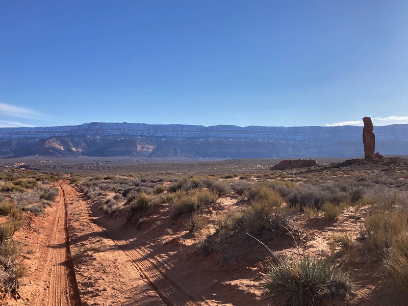
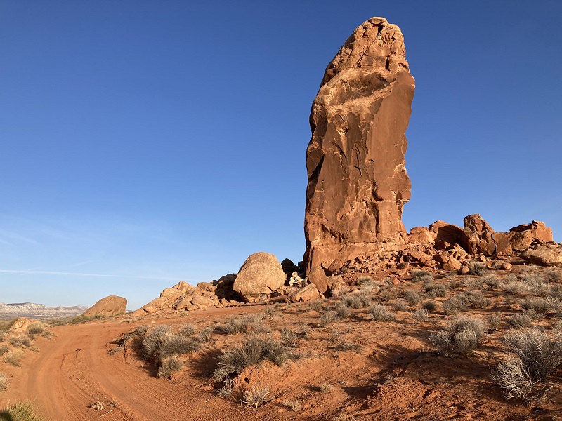
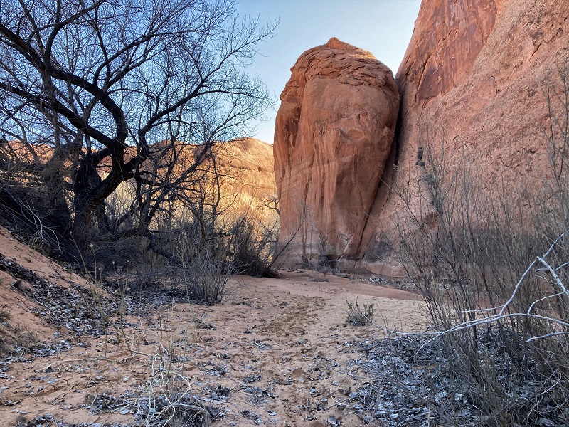
We left Escalante at dawn and embarked on our adventure. We drove about 33 miles southeast on the graded Hole in the Rock Road through one of the most remote places you will find anywhere. We turned left onto the signed road to Chimney Rock, a narrow and sandy 4WD track. After about two and a half miles we passed the impressive rock tower and continued another half mile on a rockier track to the end of the road. It was no surprise that we were the only ones there.
chimney rock
parked at the remote trailhead. chimney rock is visible in the distance.
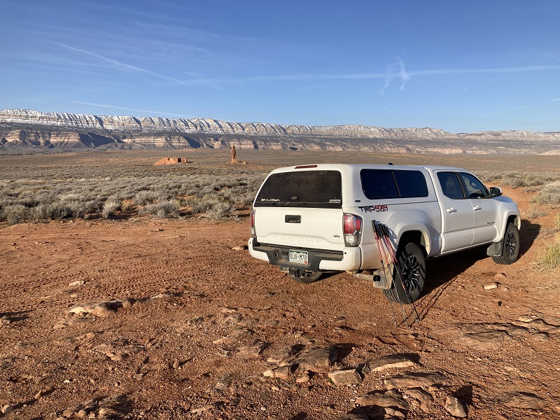
We elected to descend toward Coyote Gulch instead of Hurricane Wash because we had been told the route might be slightly easier. I had downloaded a map of the area on my Gaia app and marked waypoints for access points into the canyons from the coordinates I had been given. After setting a waypoint at the truck and orienting ourselves toward our objective we took off down a sandy slope toward the northeast at about 830.
we headed down this slope from the trailhead toward the rocky terrain in the distance
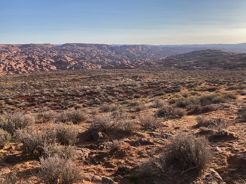
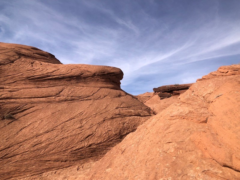
After about a mile the easy slope gave way to rockier slickrock terrain and the routefinding began.
approaching the more challenging terrain

We generally followed a drainage down through rugged complicated terrain toward Coyote, with a bit of backtracking a couple of times when we encountered terrain that was too steep. A few old footprints in sandy spots were somewhat reassuring. Eventually we reached Coyote Gulch after descending about 400 feet in 1.4 miles from the truck. There was water flowing down the canyon, a little stream a few inches deep and ten to twenty feet wide, so we immediately sat down and switched to our water socks inside of our hiking boots. We used old boots that we save for adventures like this that entail a lot of wading. Enthusiastically we headed down the canyon.
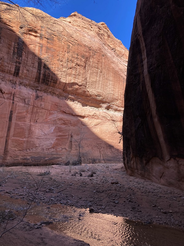
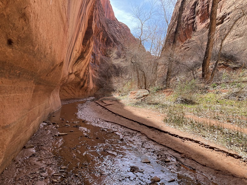
shortly after we entered coyote gulch
There was a fairly decent trail we followed, no doubt made by backpackers who come down the canyon this way from the Red Well Trailhead many miles upstream. The canyon walls were already impressive and became taller and more majestic the further downstream we went. We made numerous stream crossings and had to push our way through bushy areas along the trail here and there.

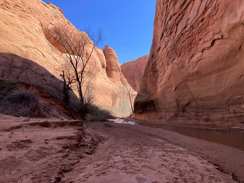

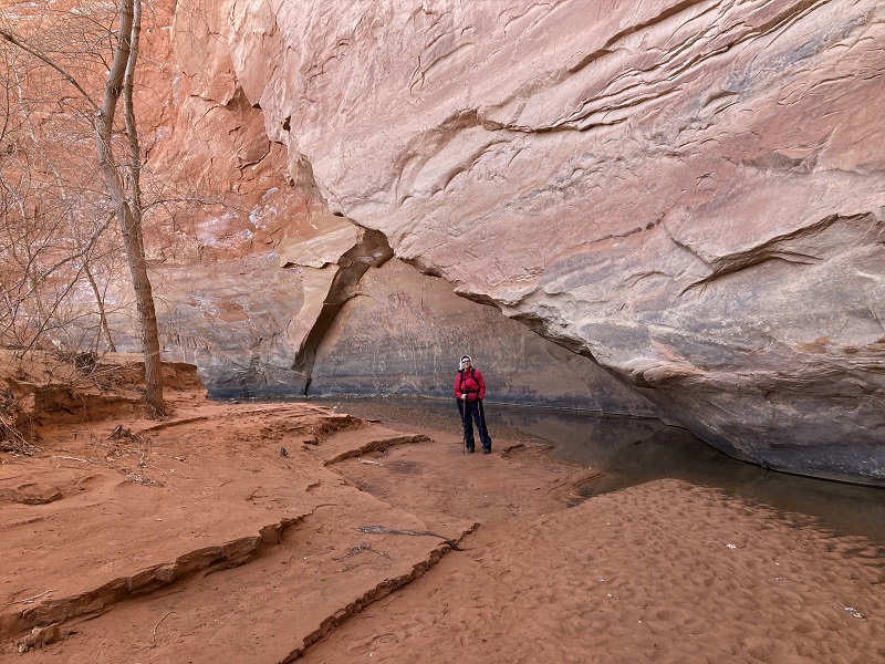
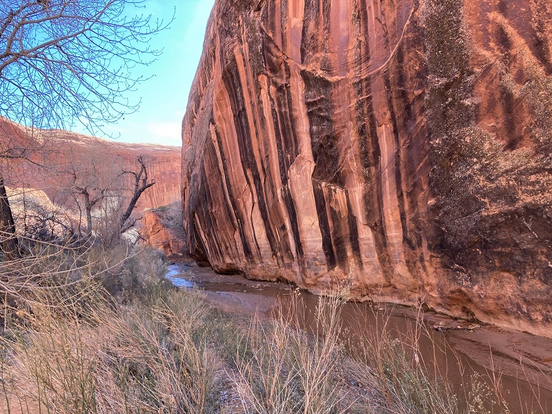
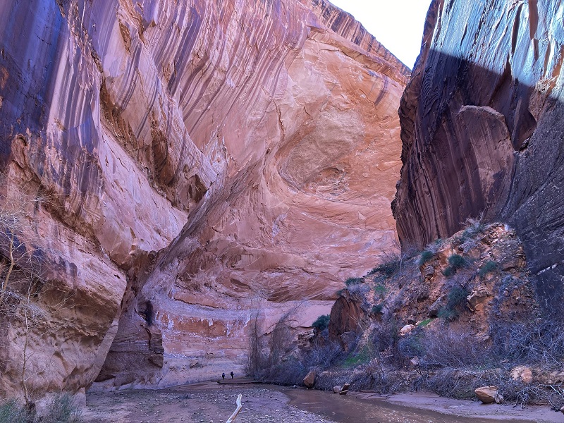
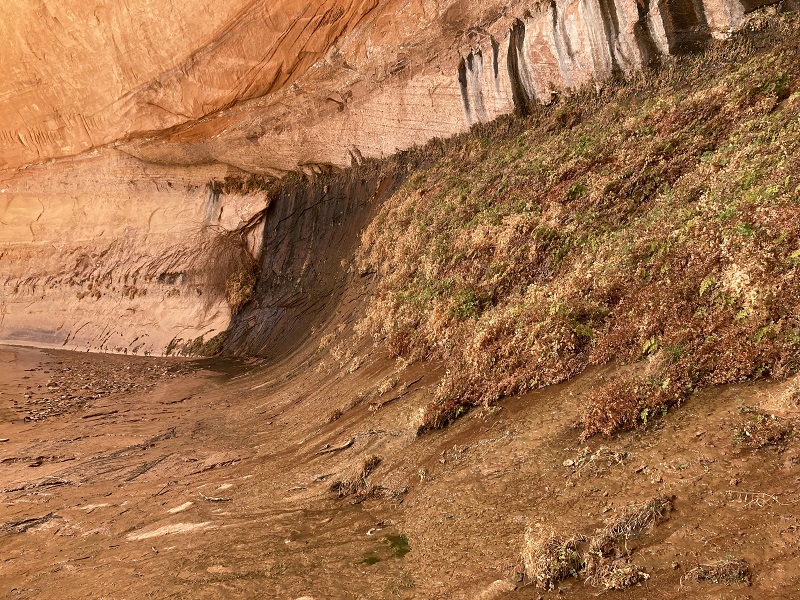
After hiking down the canyon about 2.6 miles we reached the confluence with Hurricane Wash. From this point on the trail down Coyote was better and more heavily used because most backpackers come down Hurricane. The stunning canyon walls became more and more impressive with occasional deep alcoves where the stream had undercut the walls creating marvelous sloping overhangs.
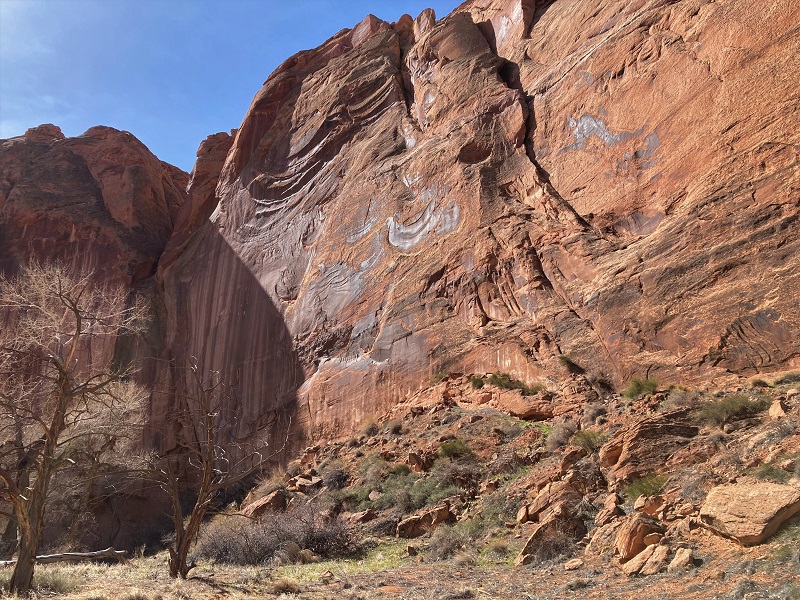
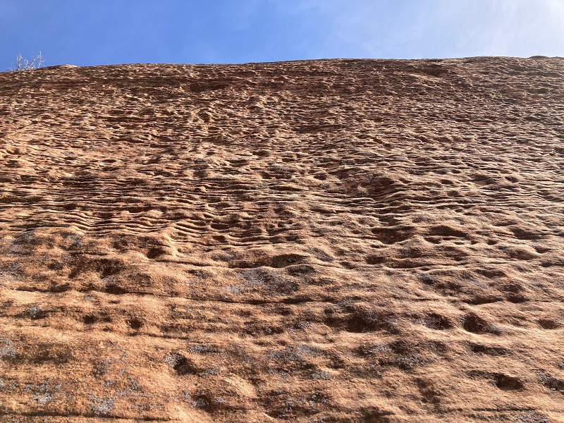
interesting black stripes on a wall
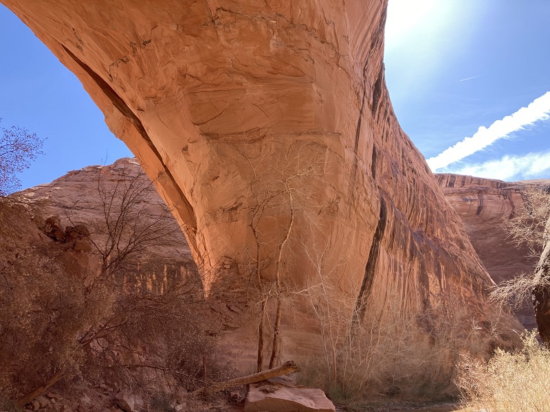
After about 1.7 miles from the confluence we reached massive Jacob Hamblin Arch, a climactic point in the canyon.
approaching jacob hamblin arch. note the huge alcove at the left.
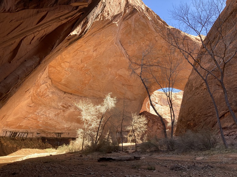
jacob hamblin arch
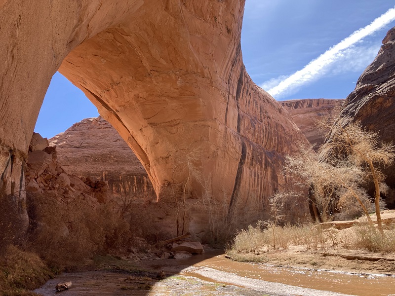
the arch is massive
teresa by some ferns growing at a seepage in the alcove
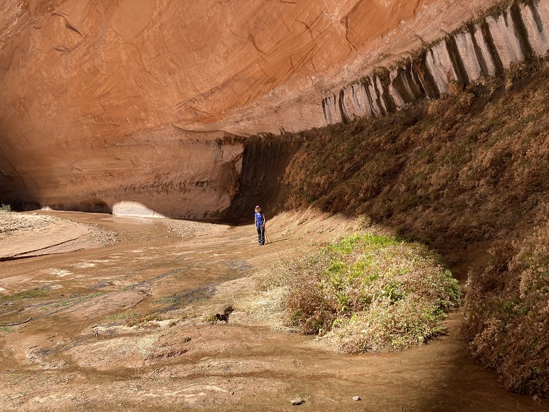
It was near the arch that we encountered the first other hikers we saw today. All other hikers we saw today were backpackers, for this is not an easy place to dayhike. We went around a lengthy bend in the canyon around the arch and under the most impressive alcove in the whole canyon, where the canyon rim overhangs the floor by at least 200 feet horizontally.
looking up at the rim of the big alcove from below
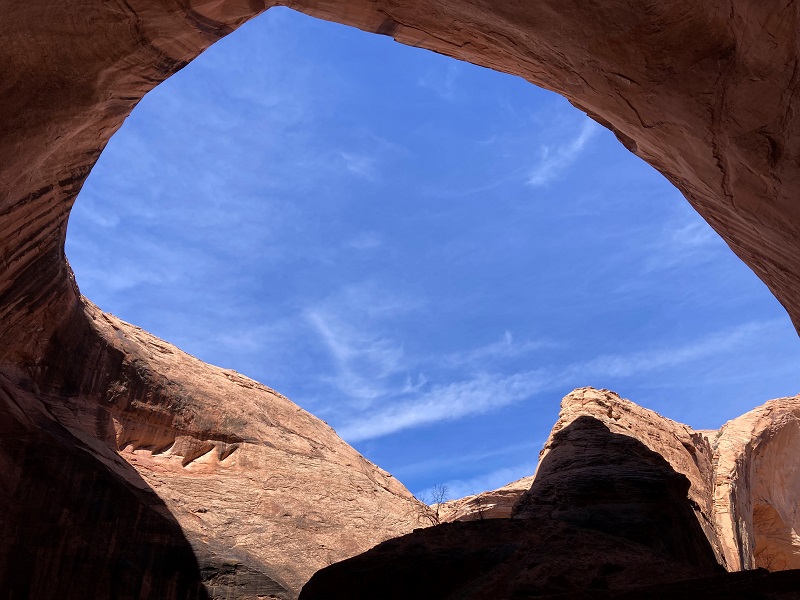
note the hikers at the bottom of the photo. the rim of this huge alcove overhangs the canyon floor by at least 200 feet horizontally.
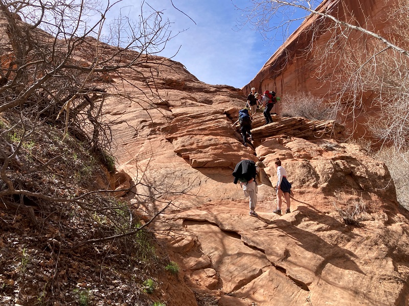
We continued just past the arch to the base of the Sneaker Route and sat down to have lunch about 1 pm. The Sneaker Route involves an ascent of over 200 feet up a very steep rocky pitch out of the canyon, best done with a rope. We watched a party of six young people beginning to attempt it, with at least a couple of them struggling quite a bit. I am doubtful that they completed it. We spoke to another pair of girls backpacking who had come up from the Crack in the Wall route intending to exit via the Sneaker Route, but finding it too intimidating were now facing the discouraging prospect of many more miles of backpacking that they had not planned on.
hikers attempting the lower part of the sneaker route. the more difficult part awaits them above.
This was our turn around point so after lunch we began retracing our steps back up the canyon.

a closer look at the ferns at the seep in the alcove
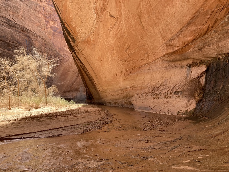
our passage back through the cliffs just upstream from jacob hamblin
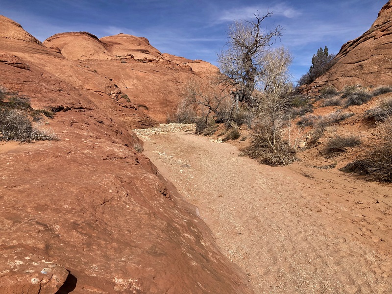
We decided to hike out via Hurricane Wash in order to explore more territory. We found this canyon to be easier than our route down upper Coyote Gulch had been, with a better trail and much less water to wade through.
on the way up hurricane wash
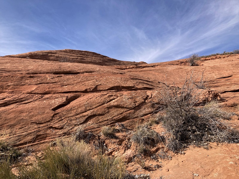
looking up at an interesting sandstone slope that we hiked past
When we reached the waypoint I had set for our exit point out of the canyon we started climbing up the slickrock to the west above the canyon floor.
looking back up hurricane wash at our exit point
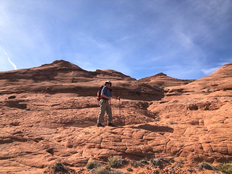
we headed up these slopes to the west
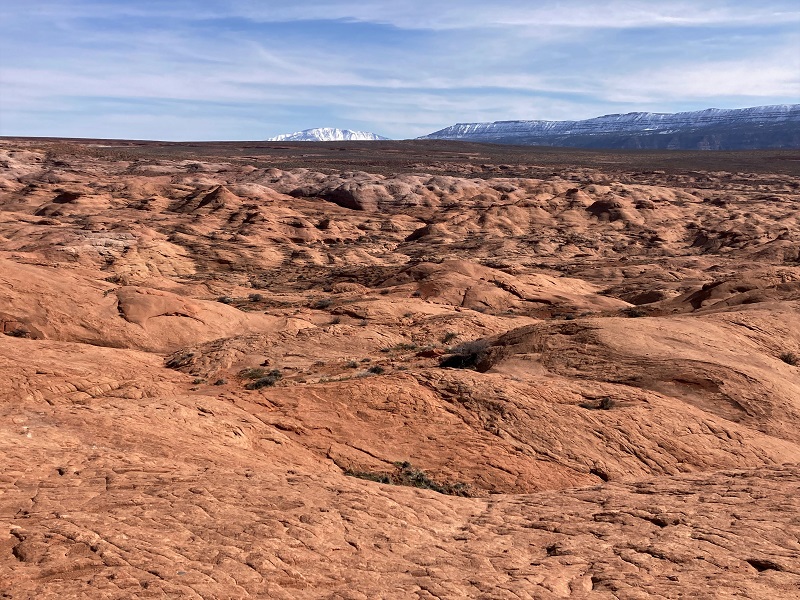
Our truck was indicated on the GPS to be only a mile away but our route covered a lot more distance than that as we found the rolling slickrock terrain to be a complicated challenge, with steep slopes and deep drainages thwarting our progress. This bushwhack was certainly more difficult than the morning’s descent into Coyote Gulch had been.
bushwhacking up the slickrock slopes
a small sample of the puzzling terrain that we confronted
looking back down toward hurricane wash somewhere below
Eventually we found a way up onto sandy open terrain above and headed for the truck. It took us about an hour and a half to hike 1.6 miles from Hurricane Wash up to the trailhead.
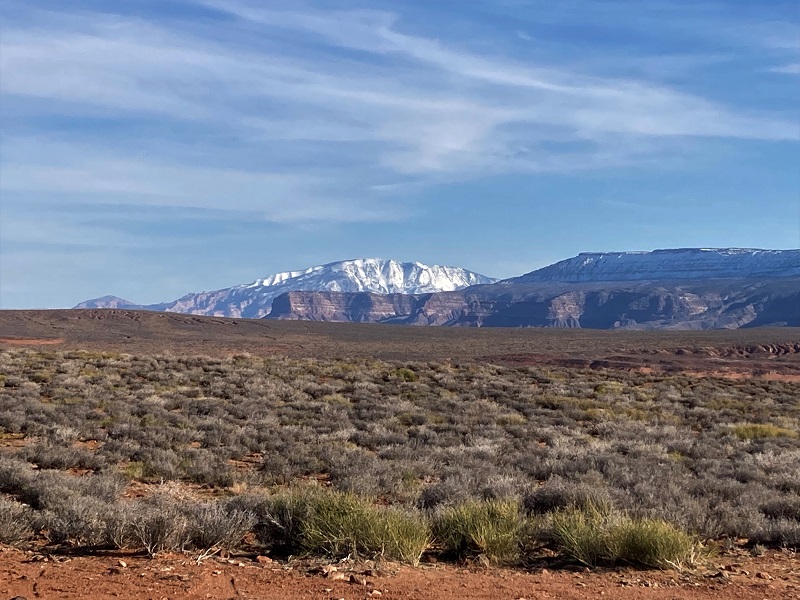
a nice view of navajo mountain, a major landmark of the southwest that is sacred to the navajos
We were spent when we arrived back at the truck and sat on our chairs and relaxed for a while gazing out across the desert terrain we had traversed. The silence was profound! I was reminded of a quote I have heard, "The desert offers sweeping vistas and soul-nurturing silence!"
After a while we packed up and headed back to Escalante.
on the road out, with chimney rock to the right