COYOTE GULCH, UT
VIA THE SNEAKER ROUTE
March 24, 2022
By Tim Briese
9.0 miles, 1200’ elevation gain, 7:50 roundtrip time
Coyote Gulch is one of the most spectacular canyons on the Colorado Plateau, complete with soaring sandstone walls, deep alcoves, a perennial stream, arches, a natural bridge, and waterfalls. There are three ways of accessing the canyon: a long backpack via Hurricane Wash, an exciting descent into the lower canyon via the Crack in the Wall, and an intimidating fifth class friction climb into the mid canyon via the Sneaker Route, aka the Water Tank route. Last October my wife Teresa and I went into the canyon via the Crack in the Wall and we saw a couple miles of the lower section of the spectacular canyon but high water conditions and lack of time prevented us from going up the canyon to Coyote Natural Bridge and Jacob Hamblin Arch, two of the canyon’s most notable features. This time I went back to attempt the Sneaker Route in order to see these impressive features and more of the canyon in general.
I left Escalante early in the morning and headed southeast on the dirt and washboardy Hole in the Rock Road, wanting to avoid driving too much on this road with the rising sun in my eyes and also to get an early start for the hike. After 36.2 miles I turned left onto the high clearance Forty Mile Ridge Road and followed it just over four miles and parked at the remote trailhead on top of a hill to the left near a big fifty foot diameter stock tank. I arrived here just as the sun rose, having driven about an hour and fifteen minutes from Escalante. There were a half dozen other vehicles parked here.
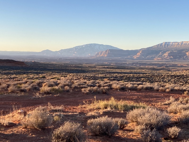
a nice early morning view of navajo mountain from the trailhead
the start of the trail. the route goes to the left of the dome in the middle.
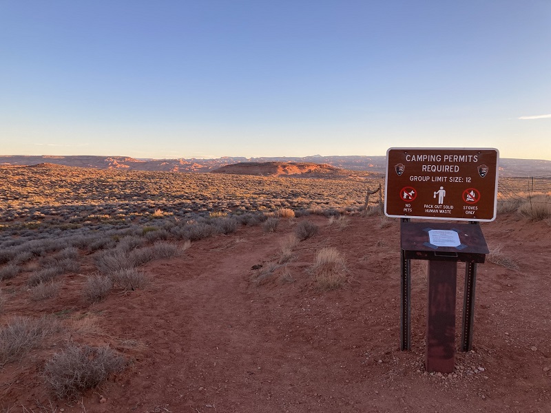
an ominous note in the trailhead register
I followed a sandy path north from the trailhead through the sagebrush. In intermittent places where the trail went across areas of slickrock it was well cairned. After a mile or so the trail skirted around the left side of a big bluff and continued north on rolling cairned slickrock for another mile to the rim of Coyote Gulch.
the route went through this terrain toward coyote gulch
approaching the rim of the canyon
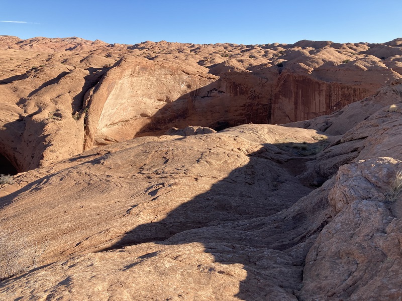
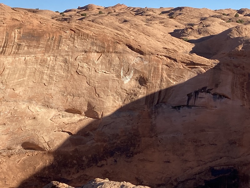
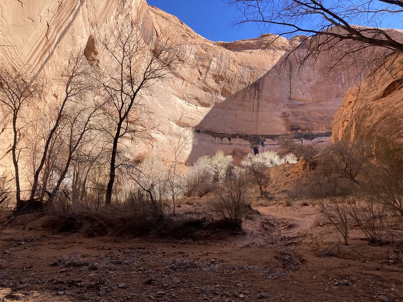
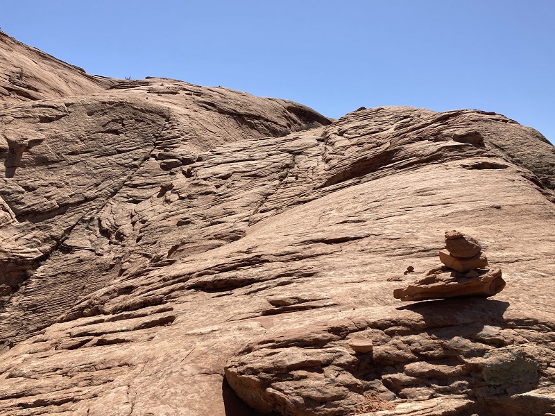
The terrain became increasingly rugged as the route sloped toward the rim. I spotted a large white U-shaped mark on the opposite wall of the canyon right across from the Sneaker Route. This natural marking can guide hikers to the route but it was unnecessary because cairns guided me right where I needed to go.
the white marking on the opposite wall
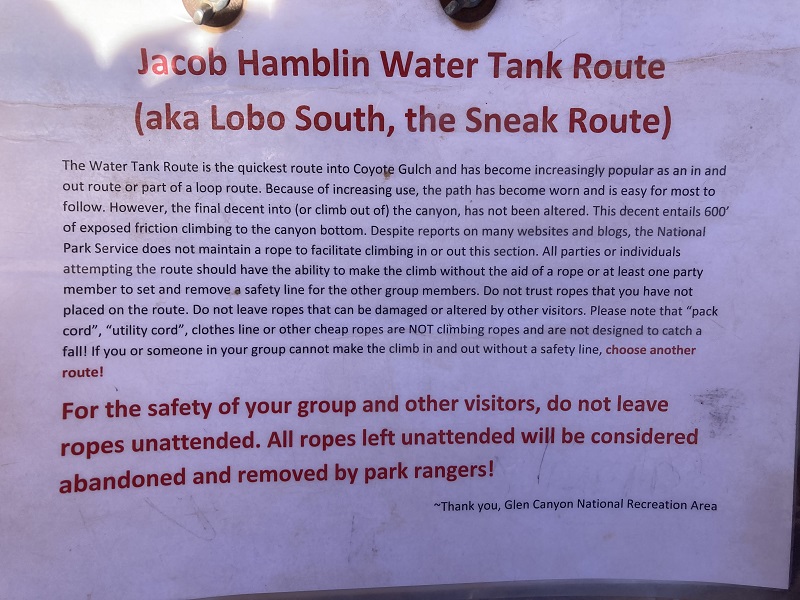
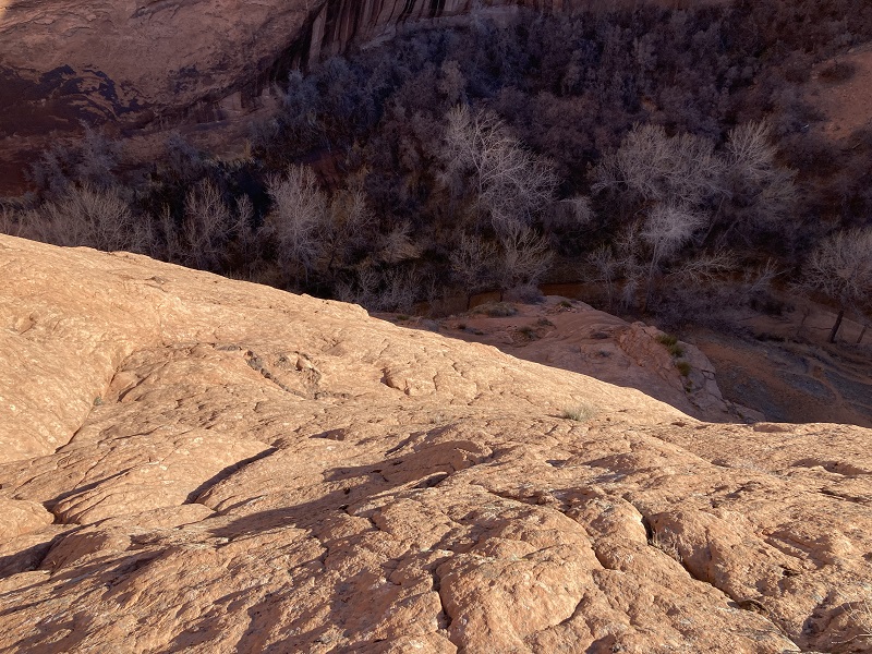
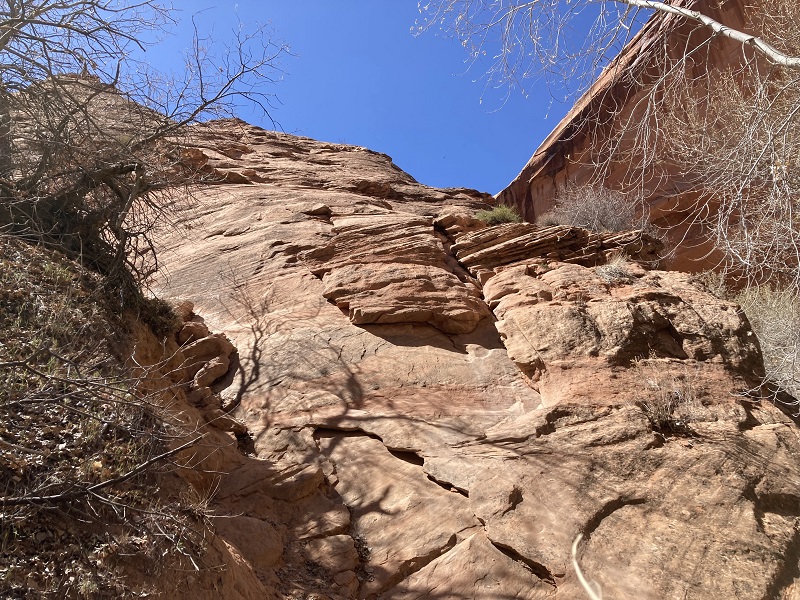
The Sneaker Route goes down a steep slickrock slope, angled at least 45 degrees in steepness, for approximately 300 feet with about 200 feet of vertical descent. I found it very intimidating. I had 200 feet of mountaineering rope with me but elected not to use it, partly because I questioned its usefulness and partly out of concern that rangers who patrol regularly might remove it as a note at the trailhead had warned, leaving me with no rope to get back up. I considered turning back, but cautiously proceeded as I saw potential ways to get down one small section then another. The trick for me was to keep the bottom of my boots in contact with the sandstone, for they provided seemingly good traction, and to hope that they held, while balancing myself on the rock with my hands. Unfortunately my balance and agility aren’t what they used to be.
it's hard to capture steepness in a photo, but this is what i faced
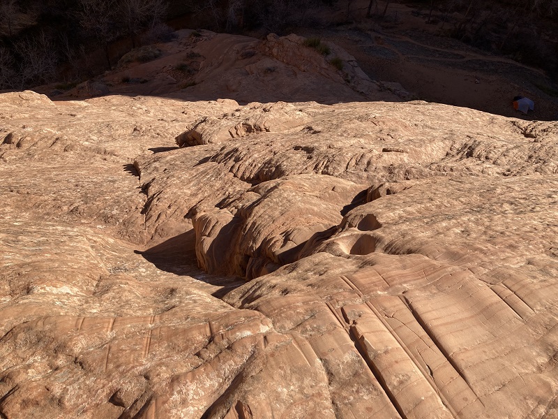
In some places there were little outcroppings and tiny mini ledges which offered something to hang onto, but on the scariest places there was nothing but bare steeply-sloping rock for 15 or 20 feet.
at least there was something to hang onto on this stretch, but in some spots it was just smooth rock
After 20 minutes or so I reached a broad sandstone bench close to the bottom but it wasn’t over yet, for I had to ease myself down another ten or fifteen feet of steep rock. It was a great relief to finally step on the sandy shore of Coyote Creek. I told myself that the Sneaker Route is probably more intimidating than it is dangerous, which I believe to be mostly true. I hoped I could get back up later.
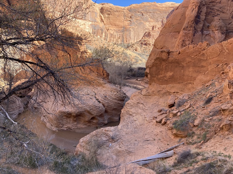
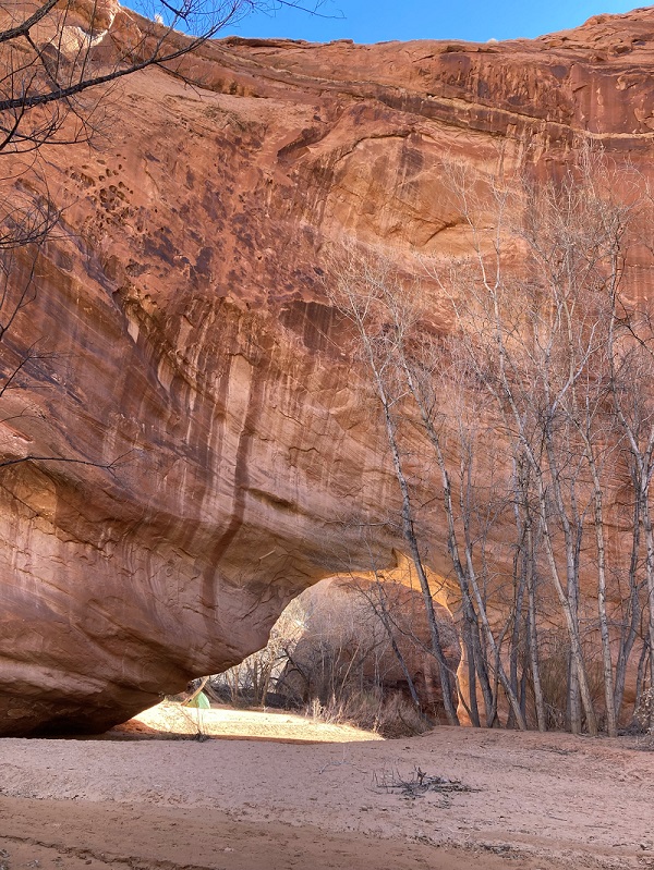
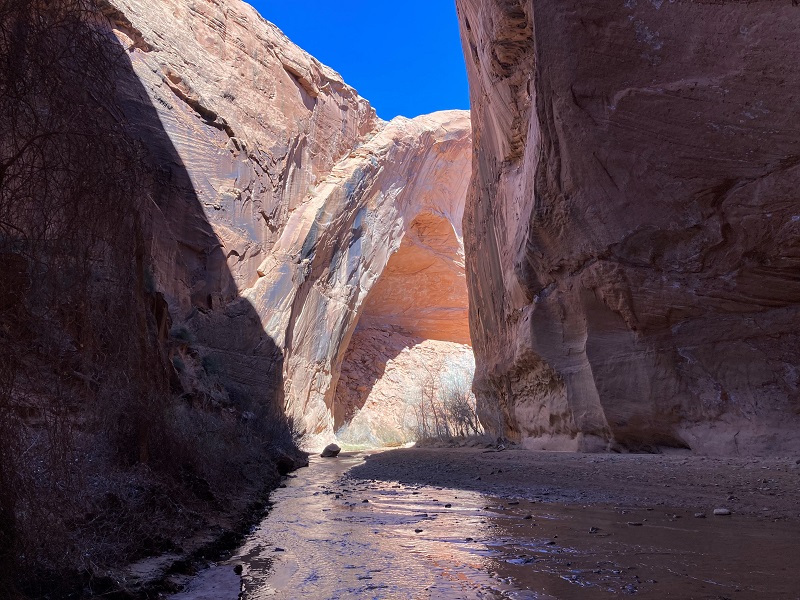
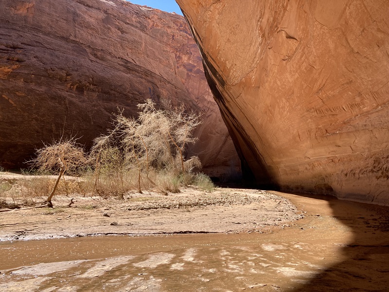
I visited for a couple of minutes with a backpacker nearby who was eating breakfast beside his tent. Massive Jacob Hamblin Arch was right around the bend downstream from where I descended but I decided to look at it later after the higher sun would be shining into the canyon more. I headed down the canyon to hike to Coyote Natural Bridge, about a mile and a half away. There was a nice sandy trail most of the way. I had to cross the stream about ten times or so on my way to the bridge, but managed to keep my boots from getting soaked too thoroughly because the water level was much lower than it was last October after a storm. This time I could even hop clear across the stream in a few narrow places. I met a handful of others hikers and backpackers as I proceeded.
on the way down the canyon
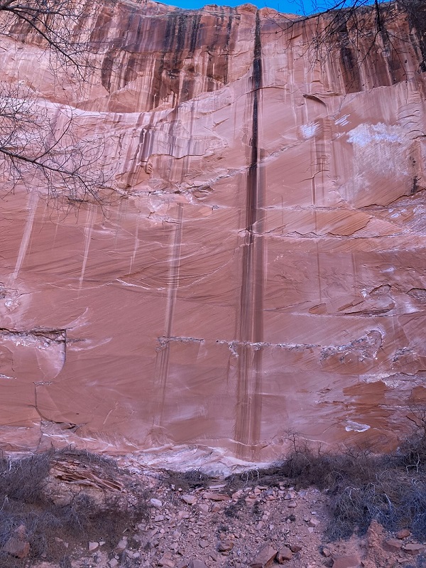
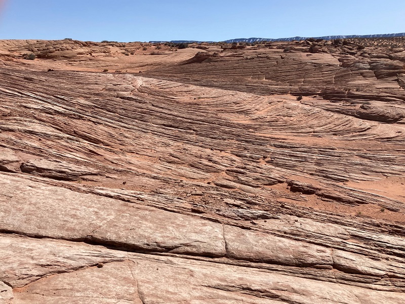
there were scenic stripes on many of the walls
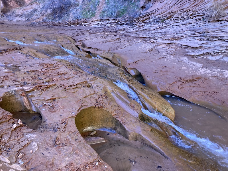
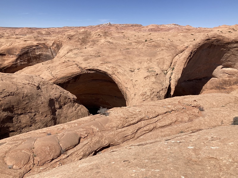
swiss cheese falls
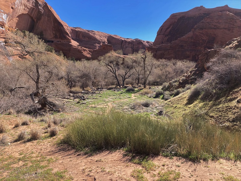
most of the canyon vegetation had not greened up yet but there was some here in this wide spot
the river flowed through a notch it had worn through the rock here
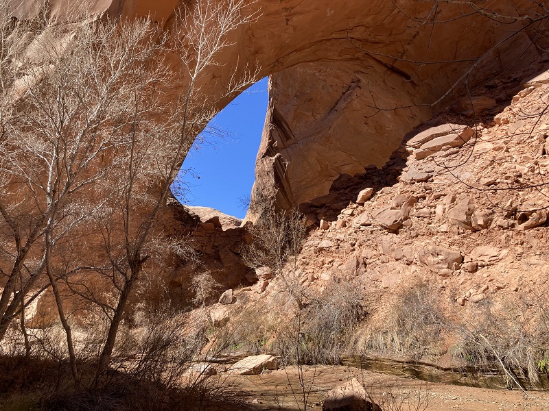
After an hour or so I reached Coyote Natural Bridge, truly a unique and beautiful natural feature. I sat nearby for about 45 minutes to eat lunch as I waited for the sun to come over the canyon wall and better illuminate the bridge for my photos.
my first view of coyote natural bridge as i approached it
coyote natural bridge
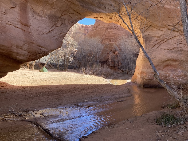
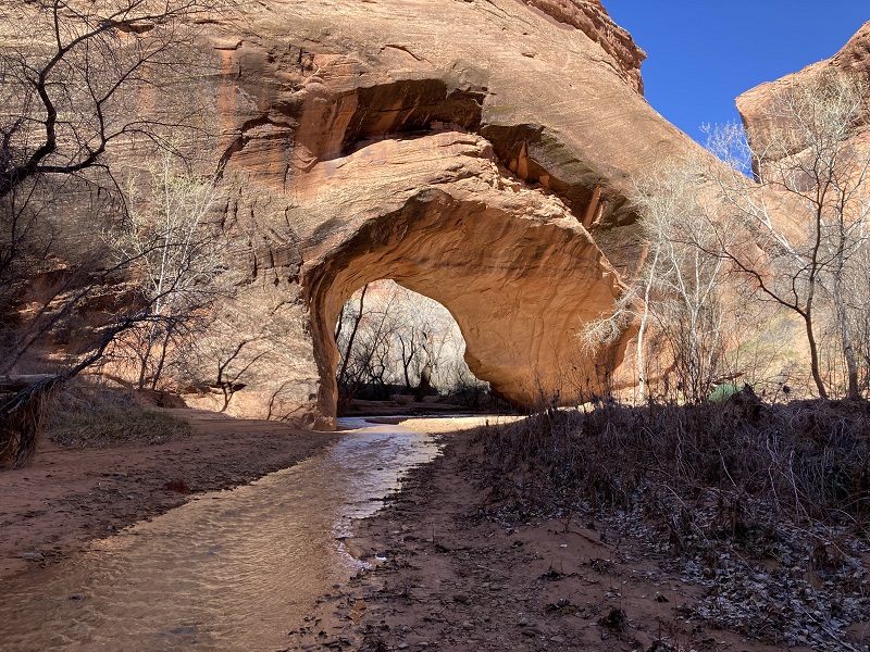
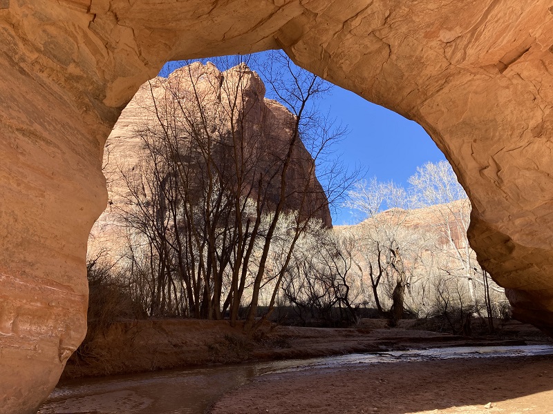
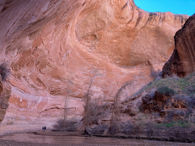
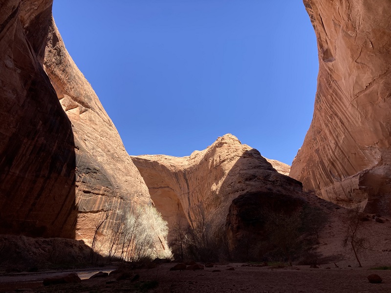
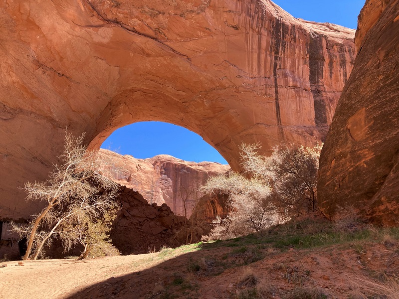
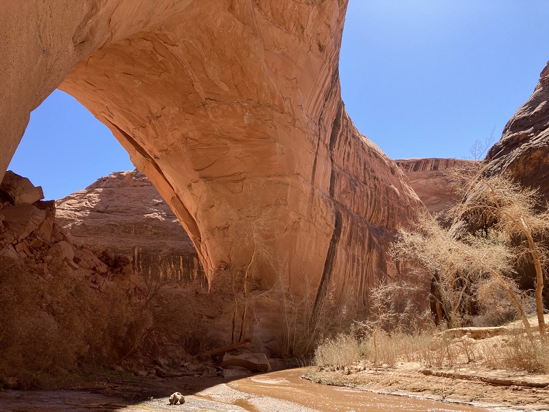
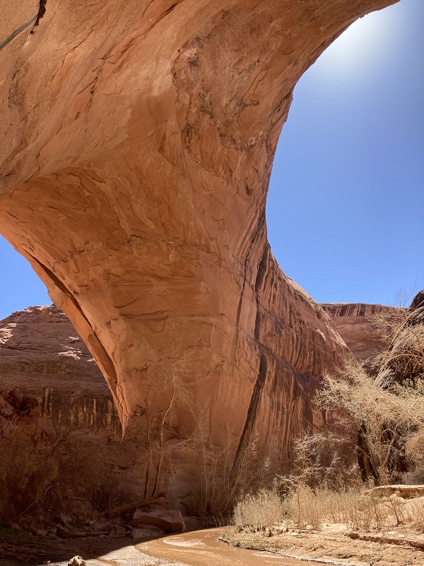
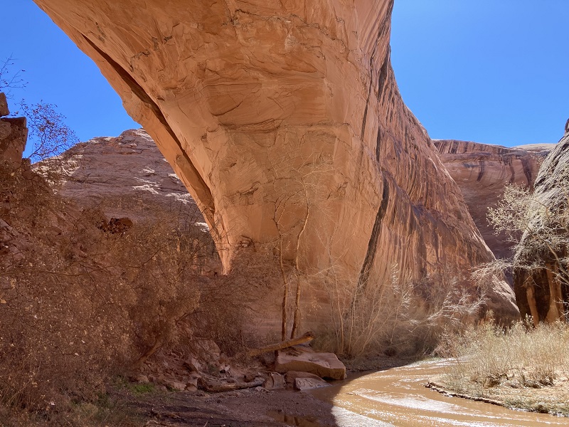
Then I hiked back upstream to explore the area around Jacob Hamblin Arch. I felt an underlying anxiety all the while about getting back up the Sneaker Route later. The area around Jacob Hamblin is very impressive. The massive arch is the highlight of the canyon for many, and is probably the most photographed feature in Coyote Gulch. I hiked a long meander upstream in the canyon to see the other side of the arch, probably the most impressive side of it. The stream has undercut the towering walls in this area to create massive alcoves. The rim of the huge alcove I hiked through going from one side of the arch to the other overhangs the canyon by at least 200 feet horizontally.
a view of jacob hamblin as i approached from the downstream side
approaching the giant alcove. the rim overhangs the canyon floor by at least 200 feet horizontally.
looking back down the canyon toward jacob hamblin
looking out from the big alcove
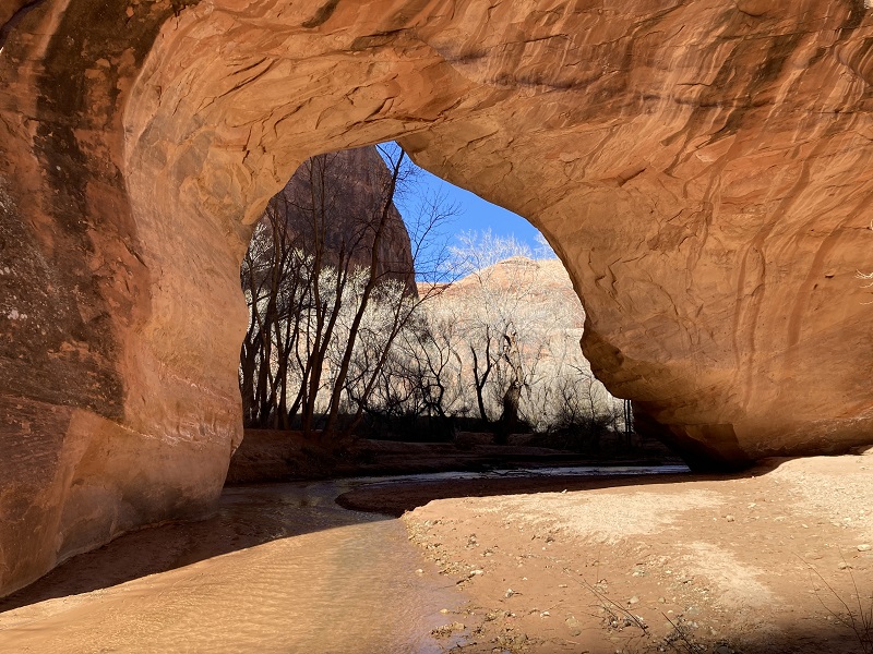
view of jacob hamblin arch from the upstream side
more overhanging walls upstream from the arch
jacob hamblin arch
After exploring this amazing place I walked back to the base of the Sneaker Route and prepared to climb up. I dried off the bottom of my boots in the sun for best traction going up while I had a Gu, some water, packed away my trekking poles and got my leather climbing gloves out. I struck up a conversation with a friendly backpacker named Bob from Salt Lake City, who was about my age. He was interested in watching me go up, to determine if it would be a viable route for him to come back and do with a friend on another trip. After a few minutes I headed up. I carefully climbed up a low fifth class pitch to the wide rocky bench above.
the initial climb went up the crack toward the right of center. it looks pretty easy in the photo, but it was 20 feet of low fifth class climbing.
I turned to Bob below and said, "Well that was the first hurdle!" and he responded "That would have shut me down!"
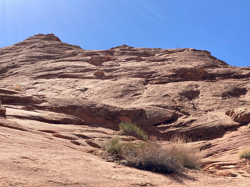
looking up at the slope above. i went up a little to the left of center.
From the bench I carefully scrambled up a ways further utilizing very skinny cracks. Then I came to the place I consider the hardest – nothing but naked rock sloping steeply upward for about 15 or 20 feet to a tiny ledge above. There was no choice but to commit to climbing up, on all fours, trusting my boot soles to keep me from sliding back down. It worked. From there I had small outcroppings and tiny ledges to aid my upward progress, with one more short sketchy section above. A young couple from Connecticut were on top watching me climb up. When I reached safe terrain they proceeded down, slowly lowering their packs with a cord. I watched them gradually descend all the way to the bottom.
the other couple heading down the slope
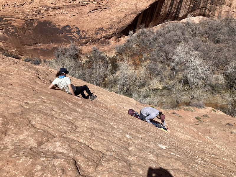
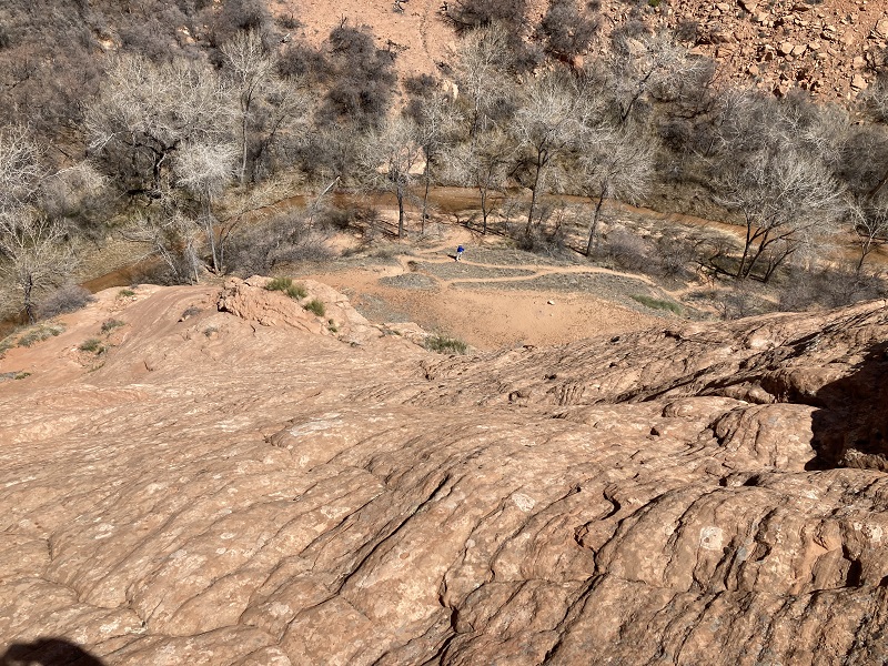
bob can be seen standing at the bottom, for some perspective on how far down it was
Also up on top was a young couple from Montana eating lunch. They were undecided about making the intimidating descent but in the end decided to turn back. With a sense of great relief I headed back up the rocky slopes above the Sneaker Route and took a nice relaxing break on top of a high rock.
on my way up a fairly steep slope toward the cairns at the upper left - not nearly as hard as the sneaker route though
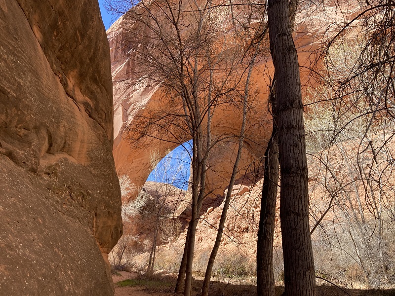
the top of jacob hamblin arch and an alcove were visible on the hike up out of the canyon
Then I hiked back out toward my truck.
some terrain on the hike back
I met a couple of other parties hiking in, including an older fellow from Washington, DC and his companion. He told me he had done the Sneaker Route about five years ago and had had nightmares about it ever since. With a grin on his face he said that he hoped to dispel those this time. I hope that worked out well for him. Around 4 pm I returned to the trailhead.
here's one way to drive to the trailhead, if you have an extra 100k or more lying around
I sat on my camp chair and relaxed for a while on this pleasant afternoon before heading back to Escalante for the night.