CRATER PEAK (11,335’)
MT. HATTEN (11,316’)
July 22, 2024
By Tim Briese
6.9 miles, 1900’ elevation gain, 6:00 roundtrip time
Crater Peak, the highest point in the Grand Mesa National Forest, was our primary objective today since it would complete the climbs of all of the national forest highpoints in Colorado for Brian and I.
From Highway 92 just west of Hotchkiss we turned north on excellent 3100 Road and followed it north for several miles into the Grand Mesa National Forest and then turned right onto the 4WD Z50 road. This road was rough and slow going. I was hindered driving it because I was looking right into the rising sun and couldn’t see the rocks very well so when I deemed this untenable we parked and walked the rest of the road up to Goodenough Reservoir.
goodenough reservoir
Hatten and Crater were visible on the ridgeline above the reservoir to the east. We thought it would be most expedient to climb Hatten first so we skirted around the north end of the reservoir and crossed a marshy area before engaging a steep flowery slope up toward Hatten.
mt. hatten
we went up the grassy slope in the center
The final approach to the peak consisted of a talus slope and steep loose dirt and in short order we were standing on the summit.
the summit slope to mt. hatten
The views were outstanding.
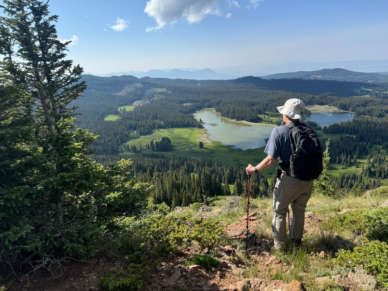
me on the summit, with goodenough reservoir below (photo by brian schultz)

brian on the summit, with crater peak beyond at the left
Then we dropped back down and followed the wooded ridge southeast to Crater.
coming down off of mt. hatten
There was quite a bit of downed timber on the ridge and steep slopes off to the sides but fortunately we found a decent trail to follow.
hiking along the ridge to crater peak
The north slopes of Crater looked menacing from a distance but there was an easy route to the summit on a narrow ridge from the west.
approaching crater peak
There were nice views from this summit too.
a view of goodenough reservoir, and mt. hatten at the right
After a few minutes we retraced our steps back along the ridge to the saddle between Crater and Hatten and found a reasonable trail that took us down the steep slope back to the marshy meadow north of Goodenough Reservoir. We walked back to the truck and drove out.
nice wildflowers along the road
I called it a day and headed for home, concluding a great series of climbs with Brian this week.