DEVILS BRIDGE HIKE, SEDONA, ARIZONA
January 9, 2023
By Tim Briese
7.0 miles, 1000’ elevation gain, 3:40 roundtrip time
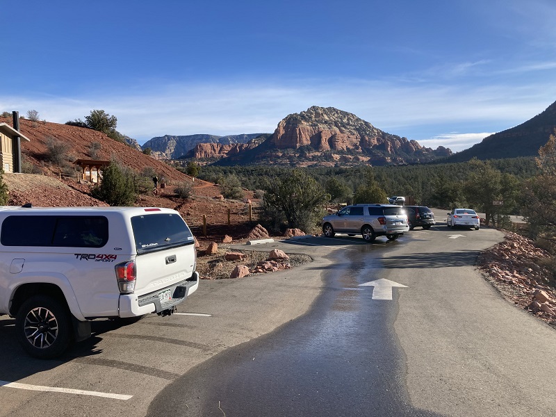
While on a trip to Arizona in early January my wife Teresa and I stayed in beautiful Sedona for a couple of days. We have done numerous hikes in the red rock country around Sedona over the years but had never done the very popular hike to Devils Bridge. On a pleasant Monday morning we drove to the Mescal Trailhead northwest of town to do the hike. There are multiple routes to Devils Bridge but this one seemed the most straightforward to us.
the mescal trailhead. the hike heads toward the distant canyon at the right.
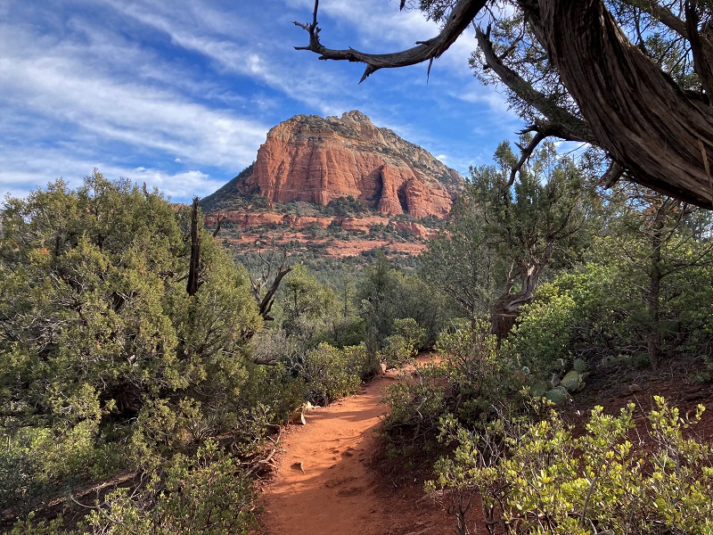
We headed east on an excellent trail through a juniper forest and continued toward Devils Bridge at a couple of junctions.
on the trail
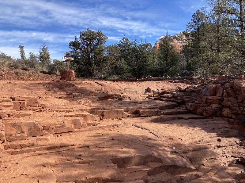
the trail went up this rocky slope to the junction sign above
After a mile and a half or so the trail crossed a 4WD road and then began climbing up into a canyon. There were numerous people on this popular trail this morning.
an interesting collection of cairns along the way

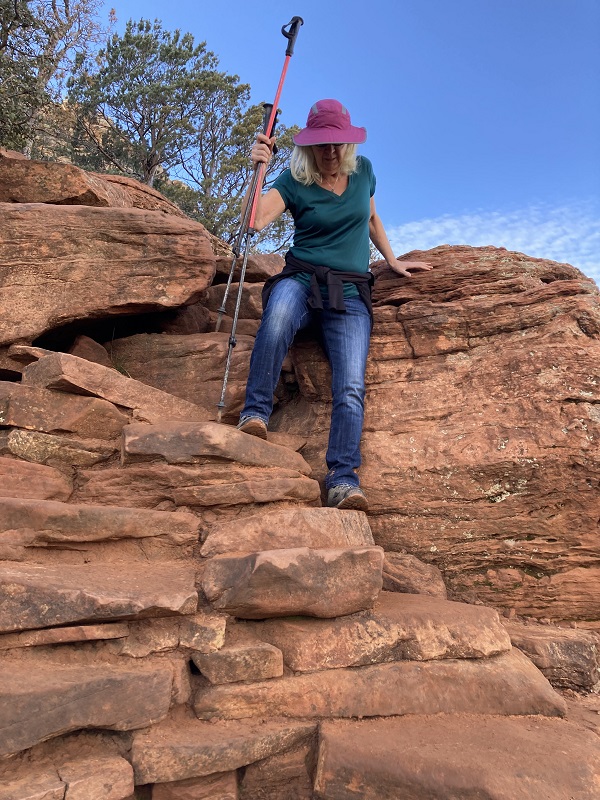
The route became a little steeper and rougher with a bit of minor scrambling up some rocky steps as we neared the end.
the route came up this rocky stretch

teresa at a rocky step. (photo taken on the way down.)
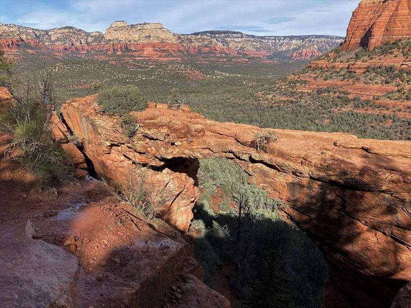
After hiking 2.2 miles and climbing 600’ of elevation from the trailhead we reached our destination. The bridge was a scenic sight and the popularity of this hike is definitely justified. We milled about with other hikers for a few minutes taking photos.
devils bridge
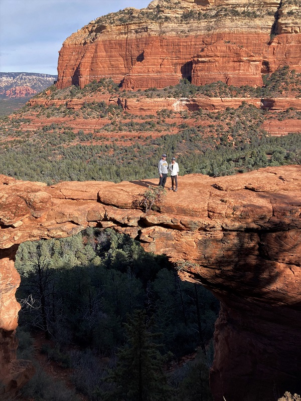
Some hikers walked out onto the bridge. It looked reasonably safe to do so but I was not inclined to do it myself.
Then we departed and headed back down. On the return we took a longer route back by looping to the north on the Chuckwagon Trail which enabled us to see more of the area scenery. A little after noon we returned to the trailhead and headed back to Sedona.