DUNCKLEY FLAT TOPS (10,270)
UN 10086
UN 9713
UN 9322
July 21, 2024
By Tim Briese
I was looking forward to our adventures today because they would take Brian and I to an area of Colorado that I had never visited before, the rolling mountainous terrain north of the Flat Tops Wilderness in the Dunckley Pass area.
Dunckley Flat Tops: 1.6 miles, 500 elevation gain, 1:20 roundtrip time
We drove on an excellent gravel road that climbed gently to 9783 Dunkley Pass and parked in a large parking area on the north side of the road just east of the pass.
a view to the south from dunckley pass
Dunkley Flat Tops was on the ridge north of the pass. We hiked steeply up a grassy slope and then through some aspens on a trail we found up to a plateau that sloped gently toward the summit a half mile to the north.
brian coming up the trail through the aspens
It was an enchanting place on this beautiful sunny morning, with flowery meadows and big views.
We bushwhacked across a lush meadow and around some trees and soon arrived at the summit.
brian on the summit
On the return we found a little better route right along the eastern edge of the plateau.
on the trail back down
on our way back down to the road. our next peak, un 10086, is visible across the road.
Unnamed 10086: 1.0 miles, 300 elevation gain, 0:50 roundtrip time
This easy peak was on the ridge just on the other side of the Dunckley Pass Road. We didnt even move our vehicles but just hiked across the road and up to the ridge crest and followed it southeast to the summit, following a faint trail all the way. More nice views presented themselves.
me on the summit of un 10086, looking back toward dunckley flat tops

Unnamed 9713: 1.1 miles, 300 elevation gain, 0:55 roundtrip time
We drove back east on the Dunckley Pass Road and headed south on FR 940 to reach this peak. We parked southwest of the peak near a scenic pond and ascended beautiful flowery slopes north to the summit.
the pond near our starting point
we headed up these flowery slopes
brian coming up the lush slope
We found the highpoint in a grove of trees and then headed back down. All the wildflowers made this quite a scenic hike.
more flowers on our descent
Unnamed 9322: 1.0 miles, 400 elevation gain, 1:15 roundtrip time
We drove further back east on the main road and I followed Brian as he guided us with his GPS on a series of county and forest roads to the vicinity of Crosho Lake where we parked when the road got unacceptably rough. We made a steep ascent up a grassy slope, avoiding intermittent patches of willows, to a ridge where it was a short walk southwest to the highest point.
we hiked up the slope in the center and followed the ridge left to the summit
There was a great view on top of Crosho Lake.
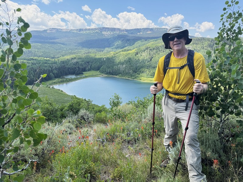
me with crosho lake below (photo by brian schultz)

view from the summit of our parking area, right in the center of the photo
We hiked back down to our trucks, finishing up a fun day of climbing easy peaks.