EAST SPANISH PEAK
(12,683’)June 10, 2011
By Tim Briese
8.9 miles roundtrip, 3100’ elevation gain, 7:20 roundtrip time
I rose early after a very short night of sleep and drove down I-25 to meet Brian in Walsenburg at 5:30 a.m. We had planned to climb Trinchera and some neighboring peaks today but he called me the night before and reported that he observed a lot of snow on Trinchera’s slopes while driving on Hwy. 160. After a brief consultation we decided to climb something a little more certain and settled on East Spanish Peak. We drove to La Veta and followed county roads from there to the trailhead. It can be confusing to get there but Brian provides the following valuable and impeccable directions in his trip report:
In the town of La Veta, turn left on Virginia St (there's a Catholic church on the corner). Go one block and turn right on Birch St. Go two blocks to the stop sign and continue straight ahead as Birch St becomes CR 360. Start the odometer at this stop sign and follow CR 360, turning left at 1.2 miles, right at 1.6 miles, and arriving at 6.5 miles to CR 442. Turn right on CR 442 (a 4x4 road marked with a sizable sign identifying it as the road to Wahatoya trailhead) and follow it for an additional 2.2 miles to a spacious parking area and register.
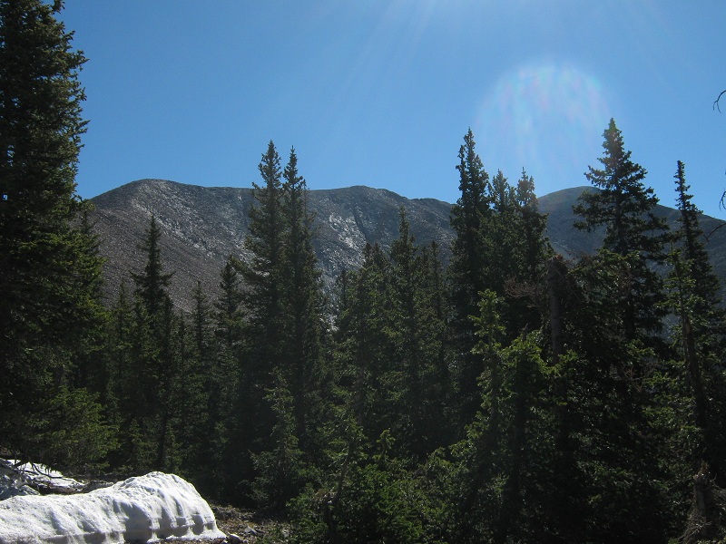
We left the trailhead about 7 a.m. and followed the excellent Wayatoya Trail for an hour up to the saddle between East and West Spanish Peaks. We left the main trail there at a cairn and turned left onto another trail along the ridge toward East Spanish. We presently met four backpackers taking a break. The trail went up and down for a bit and then climbed very steeply for a few hundred feet on dirt and gravel. This was the hardest part of the whole climb and certainly the most annoying part. The ridge then became easier for a while and we paused occasionally to check out the views that appeared through the trees.
a view back at west spanish peak
view of the blanca group to the northwest. note the volcanic dyke in the foreground that is characteristic of the spanish peaks

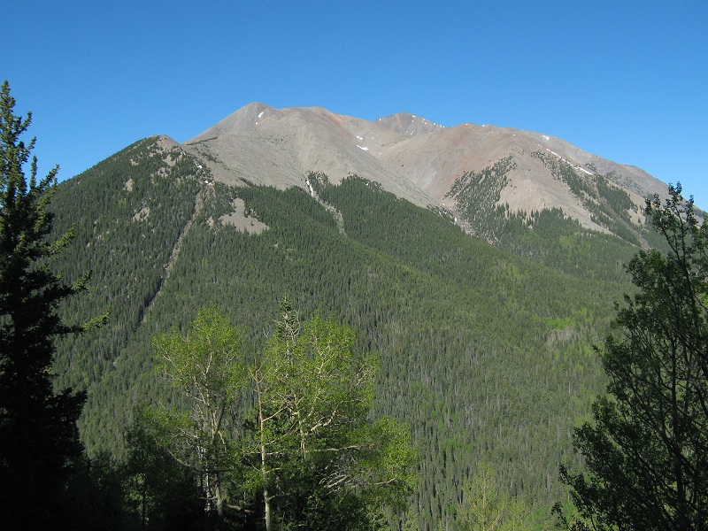
our first glimpse of east spanish peak, at the far right
After a while we abruptly burst out of the last of the trees and faced a sprawling talus field.
we went up the talus slope at the left. the summit is at the far right
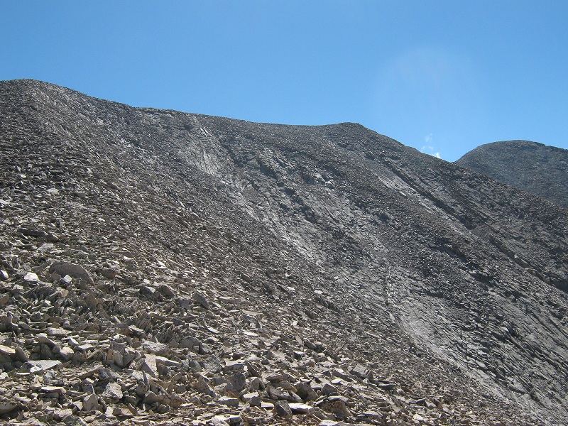
The trail mostly ended here but we really didn’t need it anymore. A few scattered cairns guided us along. Part way up the talus abruptly changed from brown to white in color, evidence of the volcanic nature of the mountain. At 12,300 feet the angle of the slope relented considerably and all that remained was a rather easy stroll to the top.
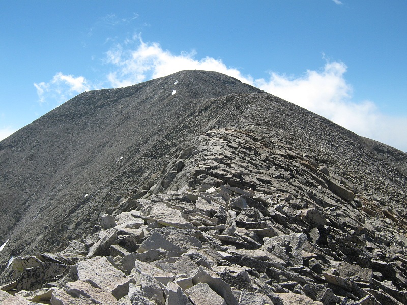
the easy ridge to the summit
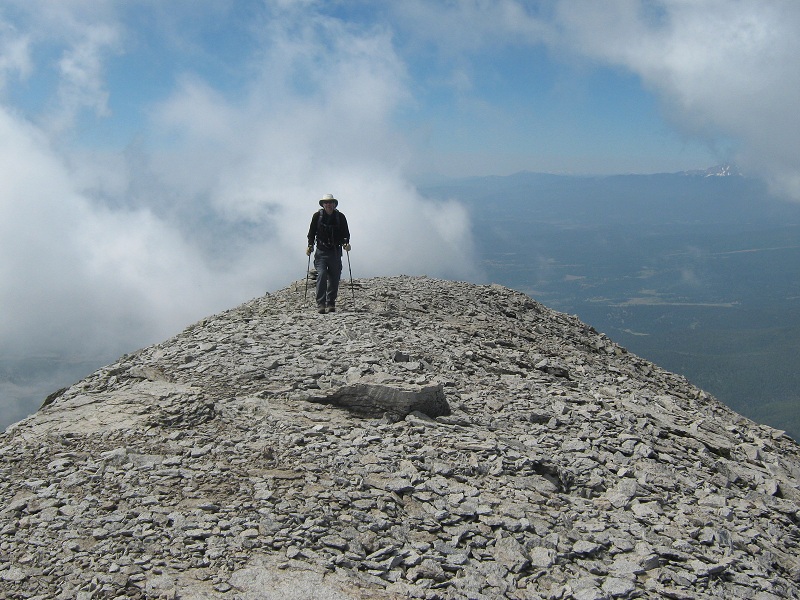
We arrived on the summit at 10:40.
brian on the summit
We sat in the pleasant sunshine and watched wispy clouds born on a slight easterly upslope wind push up against the peak, rise into the blue sky and dissipate.
clouds rolling up against the eastern side of the peak
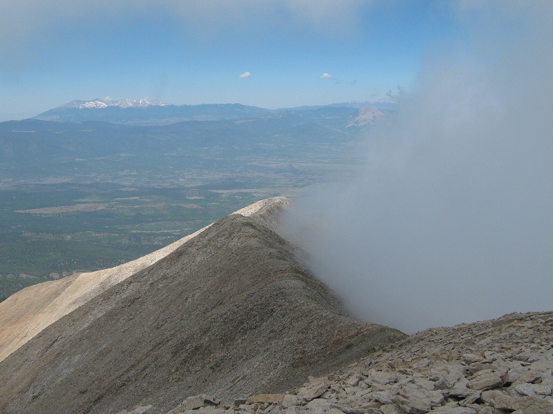
I was fascinated by this phenomenon. In total silence the silky clouds danced and swirled around us in an ethereal manner. We lounged around on the summit for 45 minutes before beginning the easy descent. We reached the trail junction about two hours later and arrived back at the trailhead at 2:20, concluding a fine mountain outing.