EMMA BURR MOUNTAIN
(13,538’)August 15, 2017
By Tim Briese
3.5 miles, 1900’ elevation gain, 4:15 roundtrip time
The evening before the climb I drove up the South Cottonwood Road, CR 344, about 6 miles past Cottonwood Lake and truck camped with my lab Abby in a meadow along the road at about 11,000’. It had been many years since I had driven back into the mountains so far on this road and I found it in remarkably good shape, not even requiring high clearance up to this point. The next morning I drove an additional 3 miles up the somewhat rougher road to where it was gated off near an old mine at 11,800’. I parked here and began the climb at 645. There was a chilly wind blowing so it felt good to get moving.
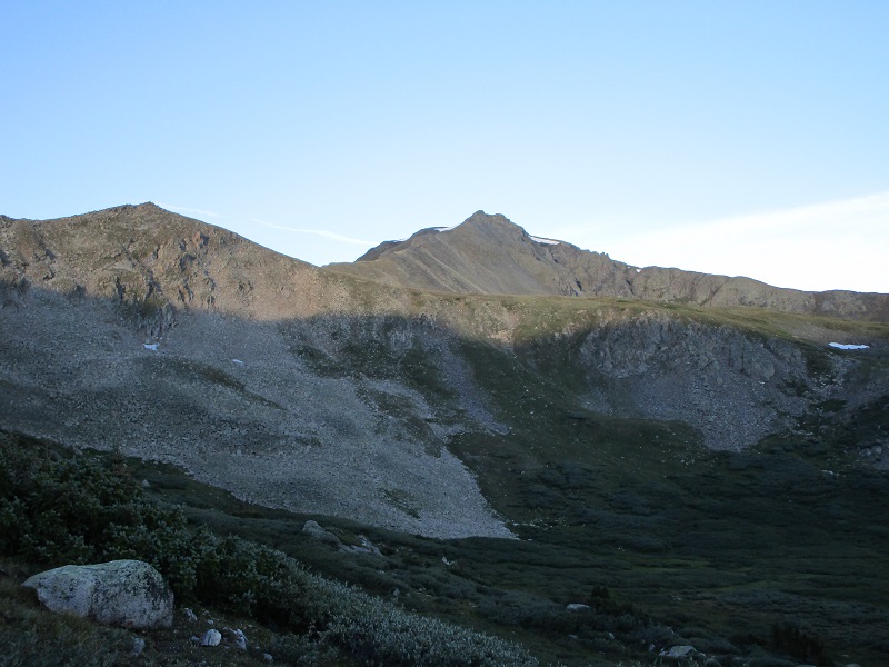
emma burr, in the center, from near where i parked
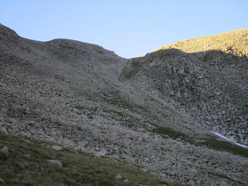
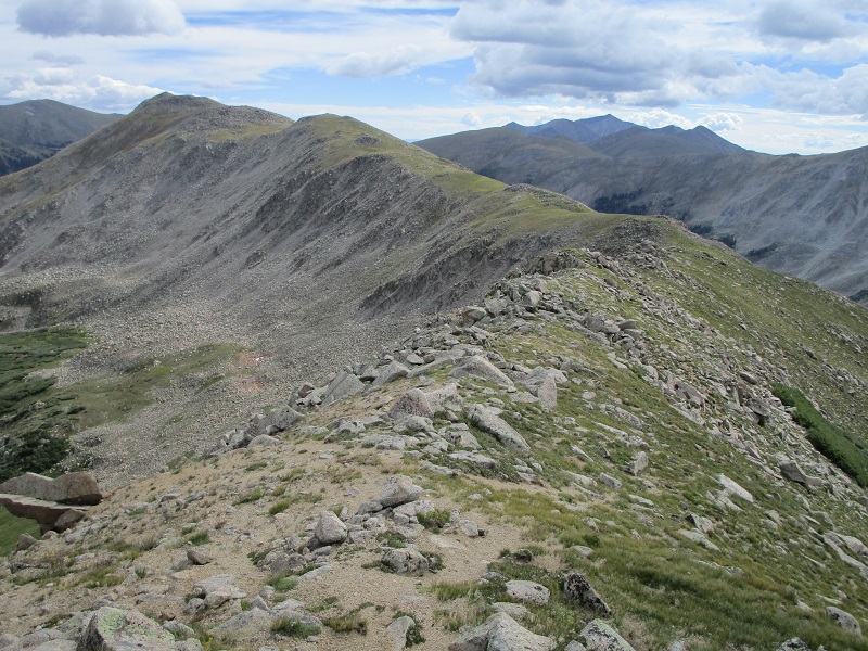
I bushwhacked south up toward a 12,600’ saddle on the peak's east ridge on some nice grass and reasonable talus.
i hiked up to this saddle
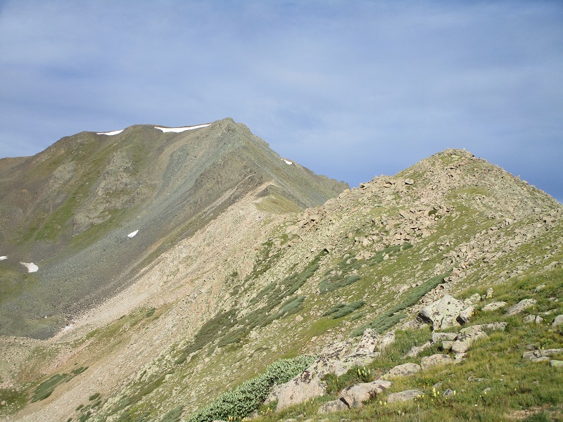
I arrived at the saddle at 745 and took a nice break in the sun. From the saddle I headed west on the gentle ridge toward Emma Burr.
the ridge to emma burr
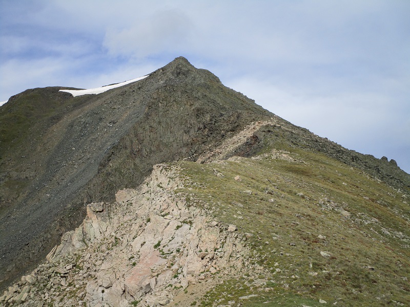
Along the ridge I crossed over a very nice trail going over this ridge that did not appear on my map (a new section of the CDT?) and saw backpackers on it some distance below. The whole climb was very reasonable to this point but a steep and rough finish loomed ahead on the last few hundred feet up to the summit.
rougher slopes ahead
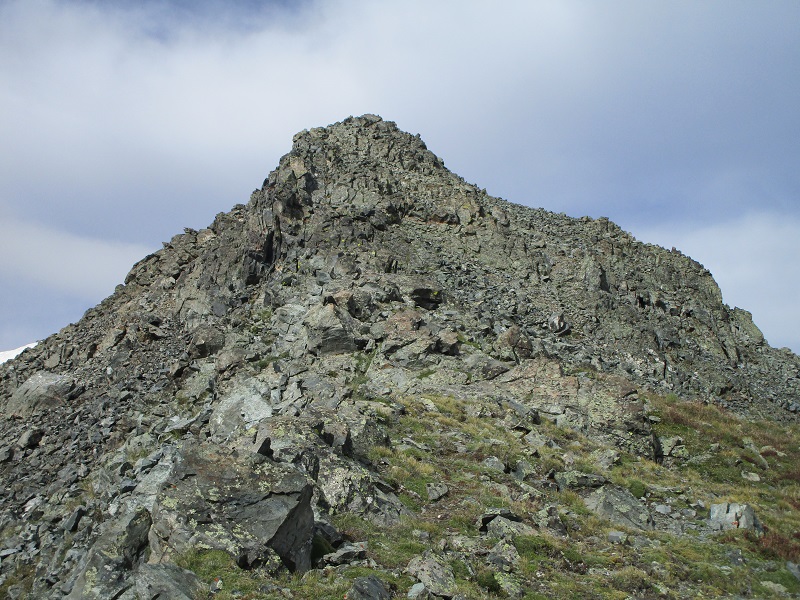
When I arrived at the rougher part of the ridge I dropped below the right side of the crest on steep loose talus to avoid gnarly stuff on the ridge before regaining the ridge up higher. After a brief respite of grass and scree I approached the rough east side of the summit. I was able to keep the climb at class 2 by circling around to the right side on loose talus.
i went around the right side to reach the summit
I stepped on top at 855 and proceeded to take a nice half hour break. The weather was holding nicely but a chilly wind was blowing. I noted that about a dozen people had signed the summit register this year.
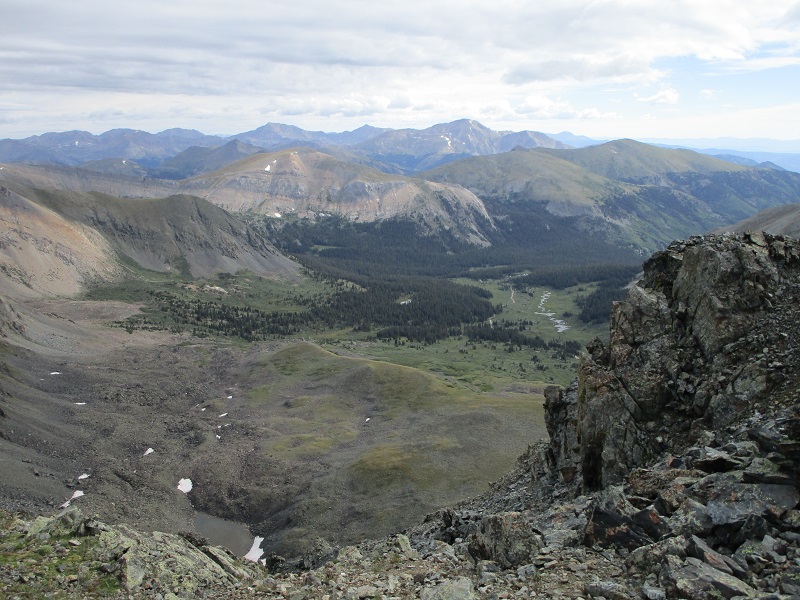
the south cottonwood creek drainage that i drove up
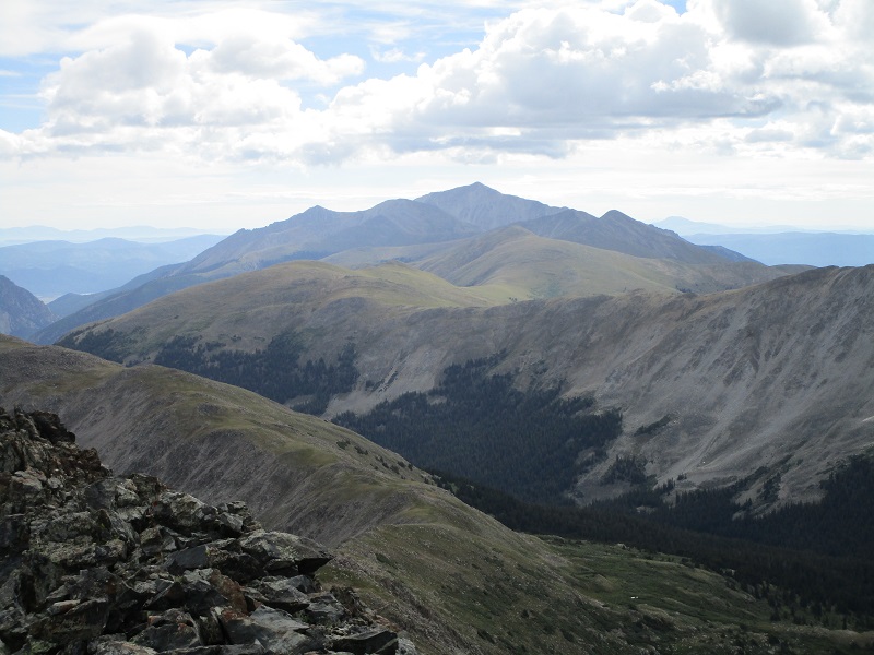
view of mt. princeton to the east
At 920 I left and began the descent.
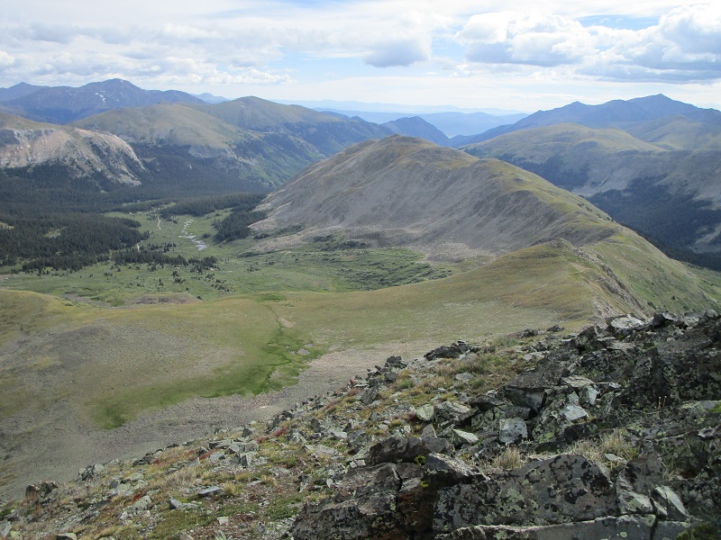
on the descent back down the ridge. my parking spot is near the center of the photo.
lower on the ridge
About a half mile from my truck I came across a hunter sitting on some rocks in a talus field with a telescope set up on a tripod and a rifle propped nearby. I think we were startled to see each other. Abby barked loudly at him, and he looked a little annoyed. I hoped he wasn’t too upset that we were disturbing his search for game. He had the rifle after all, and I didn’t. But I pressed on and returned to my truck at 1100 and headed for Lake City to climb Baldy Cinco and other 13ers tomorrow.