ESTES CONE (11,006’)
July 21, 2022
By Tim Briese
7.6 miles, 2400’ elevation gain, 5:00 roundtrip time
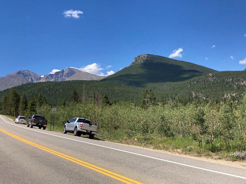
I met Brian about noon at the Lily Lake Trailhead south of Estes Park. He had driven in from Nebraska this morning and his timing was impeccable. The parking lots were full on both sides of the highway at this busy place so we simply parked on the shoulder of the highway as many others had done and this worked fine.
view of estes cone, at the right, from the highway. longs peak is to the left.
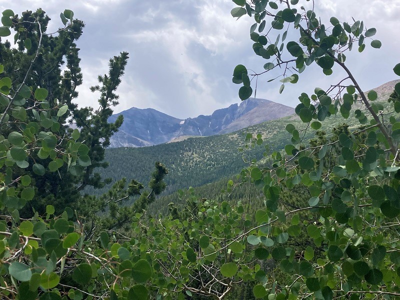
We headed southwest on the Storm Lake Trail which presently descended into a big drainage and then ascended the slopes on the other side.
view of longs peak, right, and mt. meeker, left, from the storm lake trail
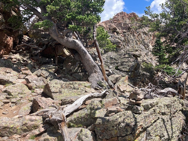
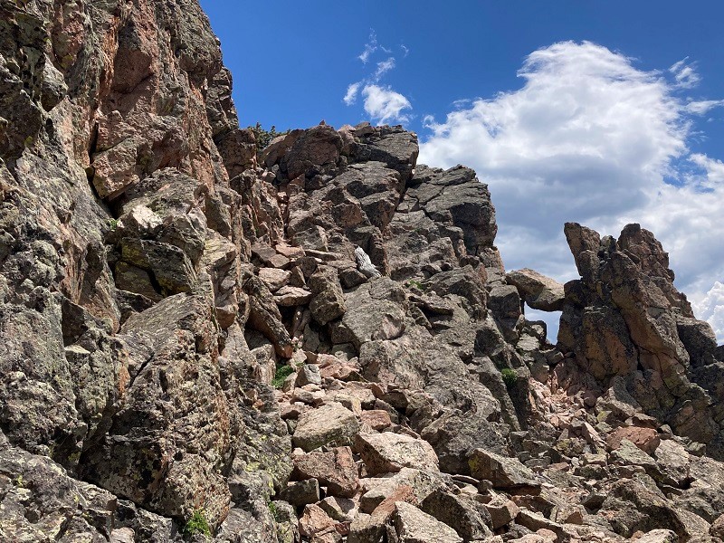
We climbed steadily up the excellent trail and after three miles reached a junction with the Estes Cone Trail. We turned right and the trail soon became steeper and rougher. This section of the route climbs over 700 feet in 0.7 miles to the summit. When we neared the summit we reached a rocky wall which required a fun class 3 ascent up a short gully.
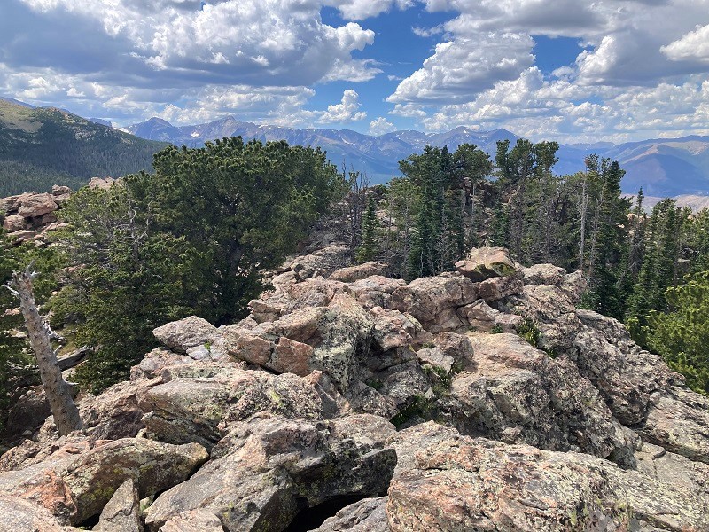
the terrain gets rougher near the top
we went up the little gully at left center
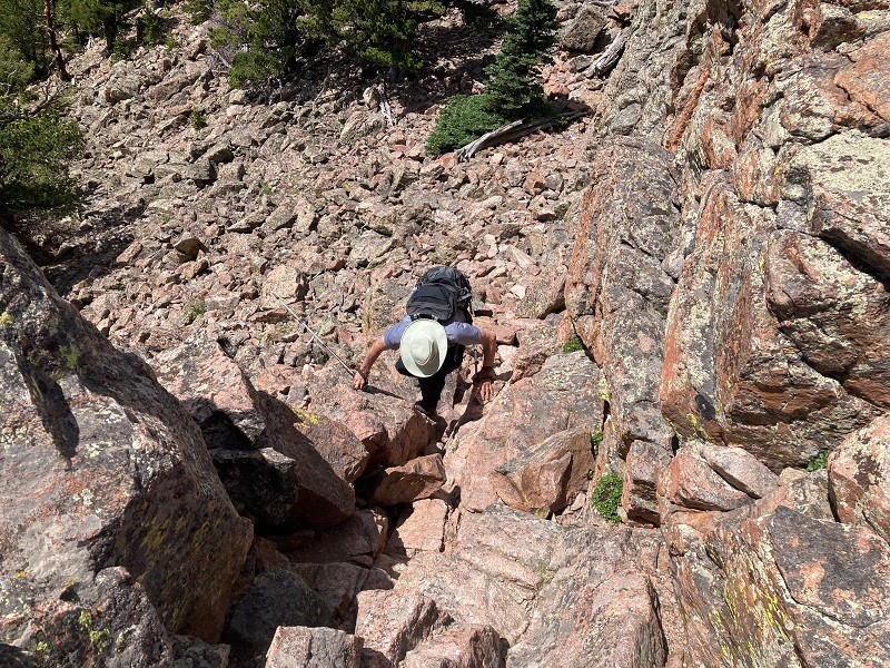
brian coming up the gully
From the top of the gully we headed about 50 yards east over to the actual summit which required another minor scramble to attain. It was good to be on another summit with Brian again, our first since last year.
view to the west of rmnp peaks from the summit
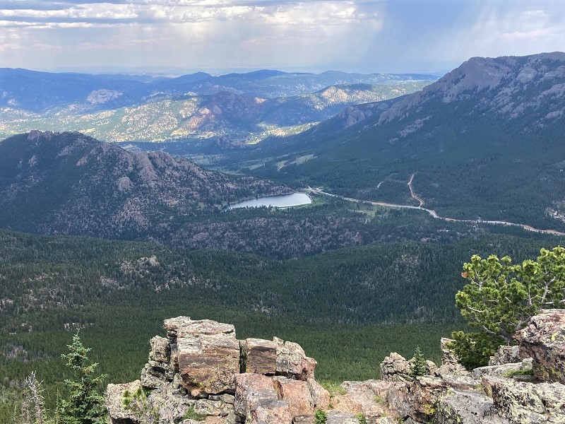
view down to lily lake and the trailhead from the summit
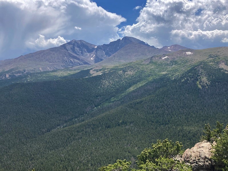
view of longs peak and mt. meeker from the summit
Clouds looked threatening so we soon left and hiked back down.