
EUREKA MOUNTAIN
(13,507’)August 13, 2018
By Tim Briese
2.7 miles, 1700’ elevation gain, 4:15 roundtrip time
Eureka Mountain had been on my radar for several years. The long and rough approach on the Hermit Pass Road deterred me somewhat but finally I decided it was time to just go do it. From the signed intersection where the Hermit Pass Road goes left from Hermit Road I drove 2.3 miles up the increasingly rough road to 9800’ and turned into a pull-off beside Middle Taylor Creek and truck camped for the night with my lab Abby. After a pleasant night of rest beside the gurgling creek I took off a few minutes after 6 the next morning and continued driving up the 4WD road. The difficulty of this 4WD road is only moderate but it is extremely rough and rocky and the going was very slow. In a word, the drive was miserable, and I probably averaged 5 mph or less bumping along on it. I drove 4.7 miles up the road from my camp and parked at a sharp turn at 12,050’ east of Horseshoe Lake.
i parked here along the hermit pass road
There was a smoky haze in the air this morning and I could smell some smoke. At 725 I left the truck and descended about 100’ to the west down to Horseshoe Lake.
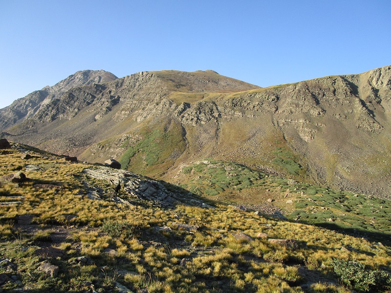
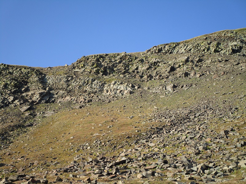
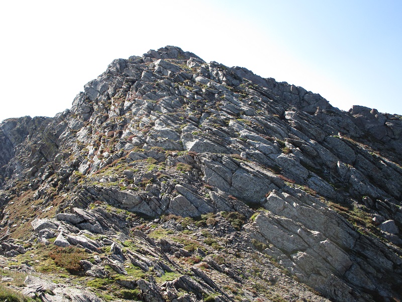
before i embarked i looked for a viable route to eureka, at the upper left. a grassy ledge through the cliffs at upper right center caught my eye.
on the way down to aptly named horseshoe lake. hermit peak lies above
a rocky loaf of bread, anyone?
I hiked around the south end of the lake and went up a steep grassy slope to the southwest, aiming for a narrow ramp I spotted to climb up through a rough cliff band. There was some steep loose scree below the ramp and I had to be cautious on the narrow, side-sloping ramp but it went okay. This was the crux of the climb.
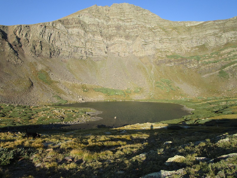
i headed for the grassy ramp at right center. plan b was a couloir to the left near the shady area.
the ramp, in the center, looked more doable when i got closer
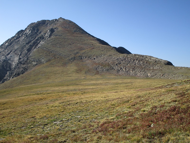
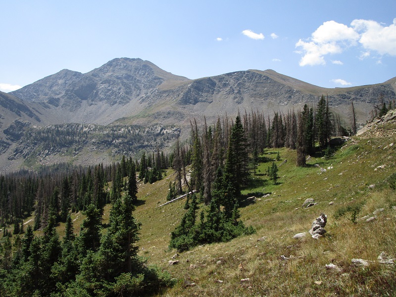
Once above the ramp I found easy grassy slopes just south of Hermit Peak, which lay 700 feet above to my right. It was tempting to go after Hermit today too but I wasn’t really up for the additional climbing and didn’t care to be breathing smoke any longer than I needed to, either.
looking back down at horseshoe lake. my truck is to the right and above the lake.
nice easy terrain ahead
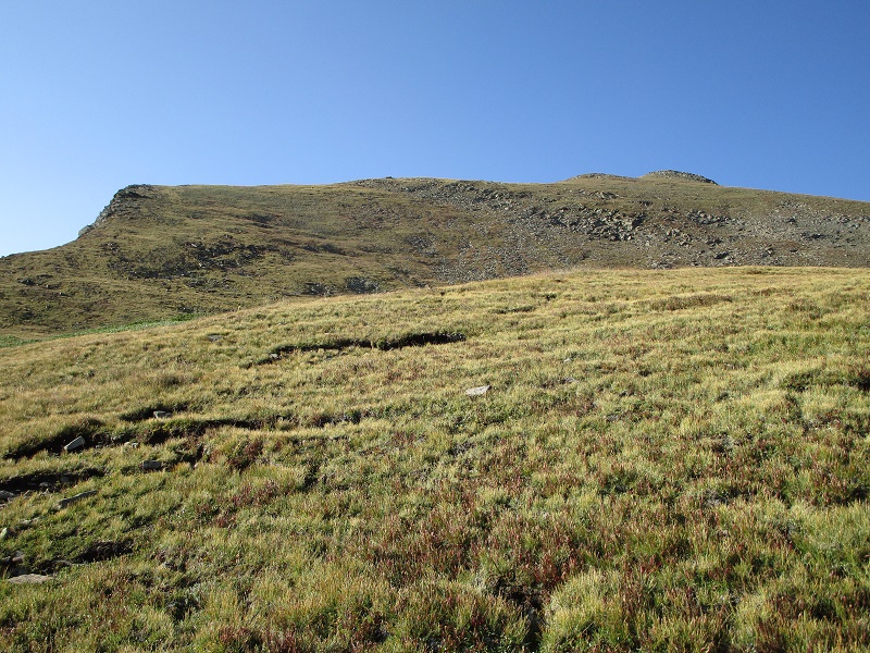
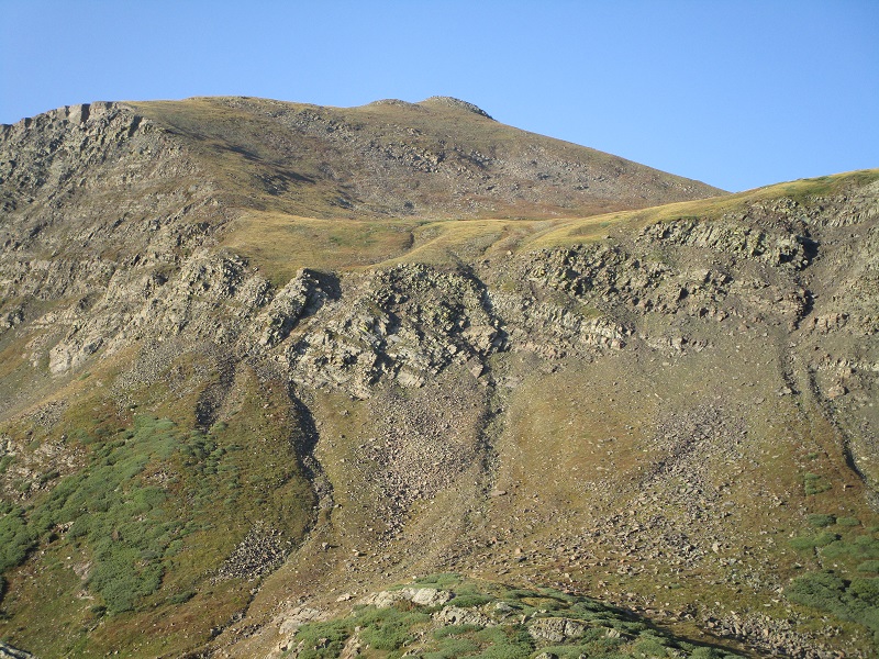
I headed south up a grassy slope and skirted around the left side of unranked "Yahoo Mountain" and dropped slightly into a shallow saddle just north of Eureka. From there I zig-zagged up a nice grassy slope on the north side of Eureka, avoiding rocky areas, all the way up close to the summit.
nice grassy slopes most of the way up to eureka
I finished the final 100 feet or so by weaving through slabs and grass to the small rocky summit.
approaching the summit
I arrived on top at 935. I saw another ridge point off to the southeast but was sure I was on the highest point. An unusual northeasterly breeze was blowing briskly this morning. It felt great to be on a peak on the spine of the Sangre de Cristos once again, as I have been so many times before!
eureka's rocky summit
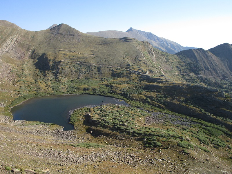
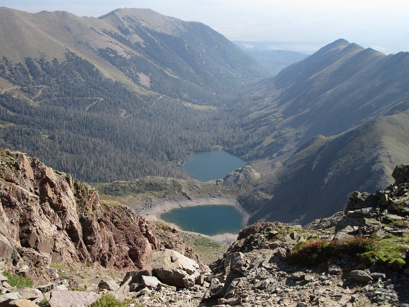
eureka lake (the closer one), hermit lake, and the hermit pass road going down the valley
the impressive string of sangre peaks stretching away to the south
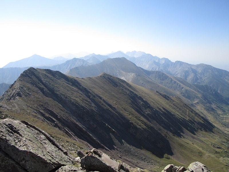
the crestones, and numerous other peaks that hold many memories for me!

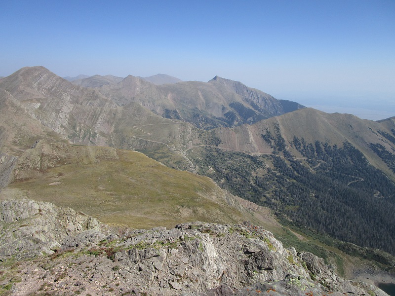
rito alto peak is to the left, and the hermit pass road is to the right
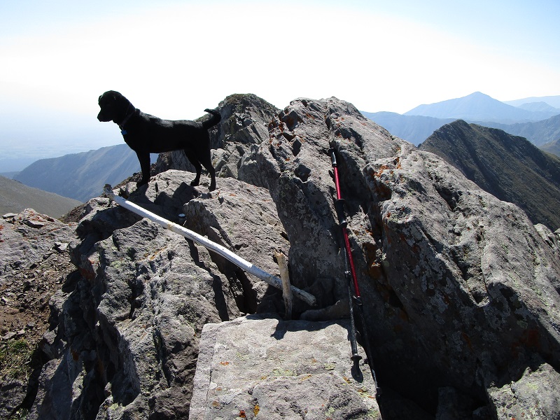
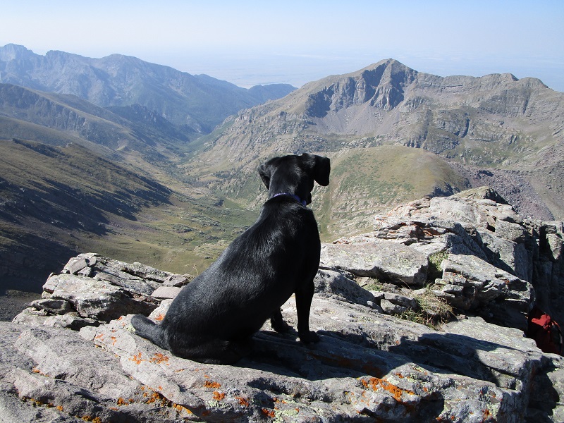
my climbing companion enjoying the view
I stayed 40 minutes on top then headed back down. The descent was fast and easy, and I saw a couple fishing at the lake now when I hiked past. I returned to my truck at 1140, for a descent time of less than an hour and a half. I drove slowly back down the miserable road at less than 5 mph again, meeting a couple of ATV’s and a jeep on their way up.
a parting look at eureka mountain from the road on the drive down
It was a great relief to finally get back on a smoother road and head for home.