MT. EVANS B
(13,577’)October 13, 2015
By Tim Briese
6.9 miles, 1500’ elevation gain, 4:15 roundtrip time
This was supposed to be real easy – just four wheel to the top of 13,186 foot Mosquito Pass and then walk south along an easy ridge a mile and a half to the summit, with minimal elevation gain. It turned out to be less easy than I expected though, because the Mosquito Pass Road was a lot rougher than when I had driven on it many years before and I ended up walking up the road for some distance. This was on the east side of the pass, maybe the road is better on the west side.
I left home at 730 am and drove to Fairplay and then cruised up the lower two wheel drive section of the Mosquito Pass Road. At about 11,600’ I took a fork to the left that climbed toward the pass and the road abruptly became a rough four wheel drive route. I slowly crept upward in my truck, stopping at a couple of particularly rough sections to get out and look things over before proceeding to avoid any damage to my vehicle.
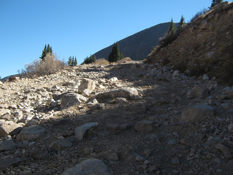
one of the rough spots in the road (this photo was taken on my return)
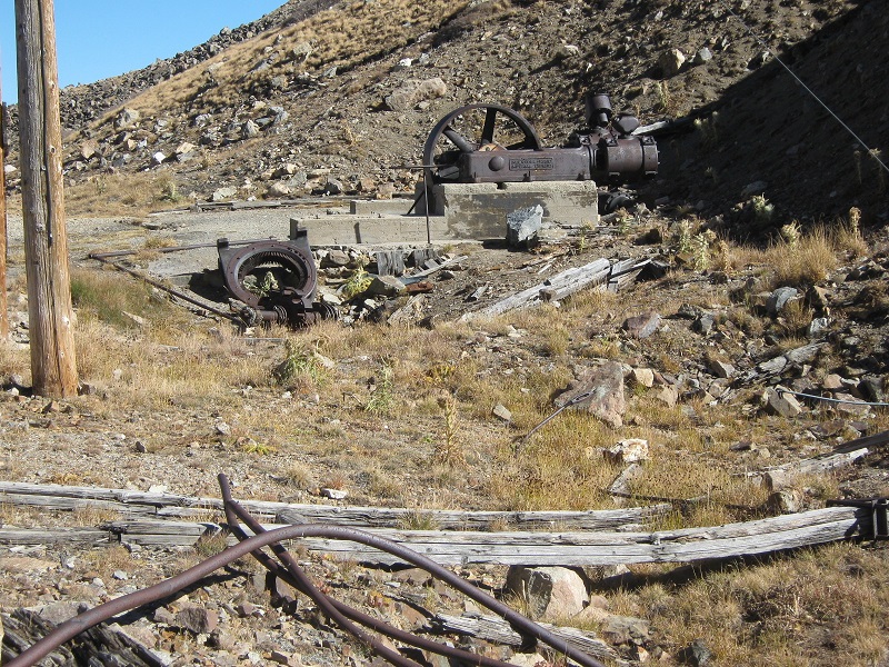
After going about 1.2 miles I decided I had had enough of this and parked next to the old North London Mine at about 12,300’. The road ahead was a narrow shelf for a ways and I thought it would be impossible to turn around if I came to an impassable section.
the north london mine
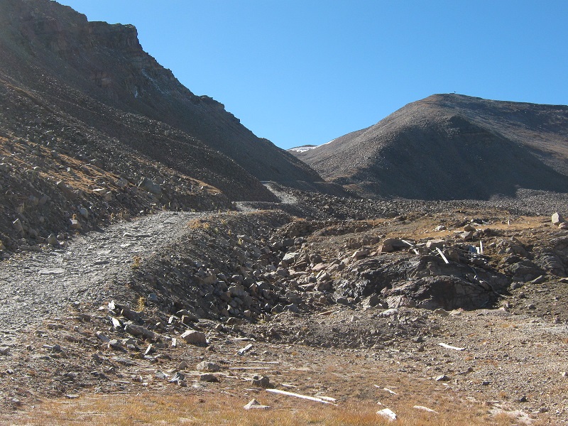
the road above the mine
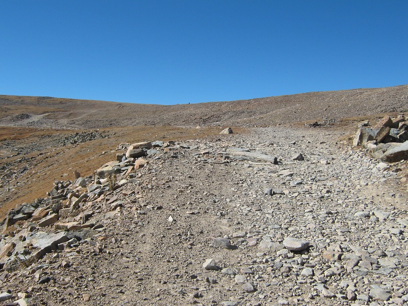
At 1045 I began hiking up the road. This was a late start for a climb and I might have left home a little earlier if I had known what I would encounter, but I knew I would still have plenty of time. Part way up I was passed by a fellow on a dirt bike, and later I saw a handful of jeeps and other 4WD vehicles creeping up and down the road. The section of the road that I walked up was fairly smooth in many stretches but there were two or three rough spots where I would not have cared to drive my truck.
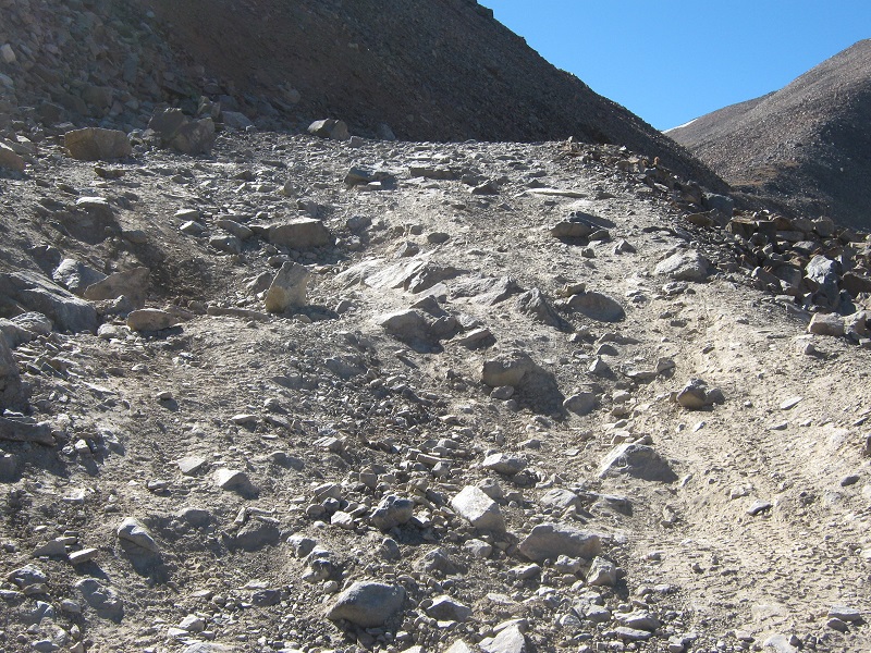
another nasty section of the road
the road as i neared the pass, which is at the saddle in the center
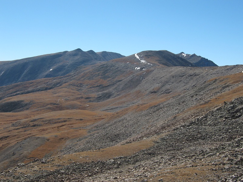
view of evans from the road as i approached the pass. it is the nearest peak; beyond are gemini peak, mt. sherman, and dyer mountain, left to right.
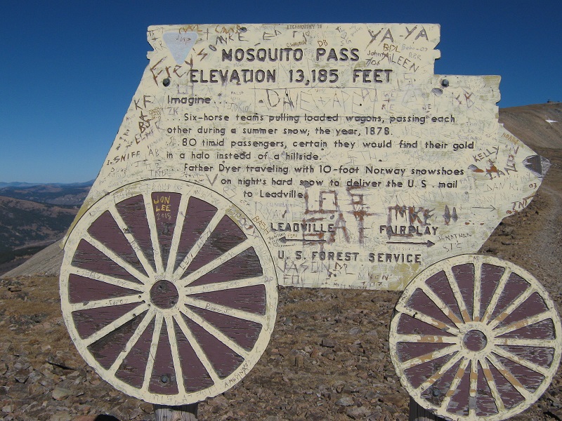
After hiking for an hour about 1.6 miles up the road I reached the pass. There was an interesting historical marker there as well as a gravestone for Father Dyer, who carried mail over this pass in the 1800’s from Fairplay to Leadville, even in the winter with snowshoes.
mosquito pass


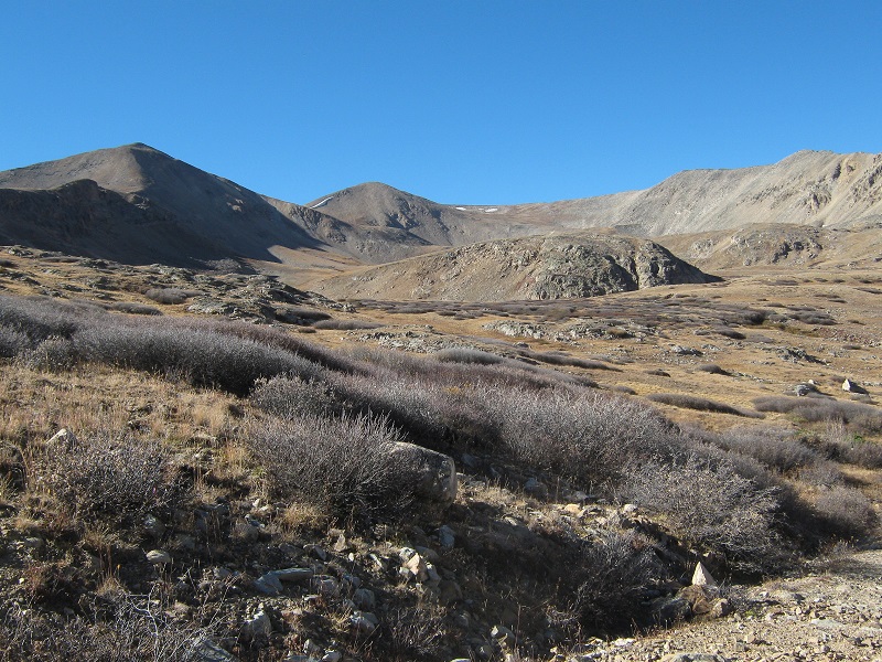
From the pass I headed south along the easy grassy ridge toward Evans, which was about 1.8 miles away.
evans, at left center, from near the saddle
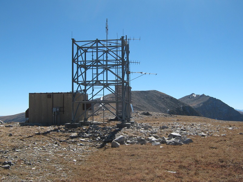
There were several fairly modern communication structures and antennas along the way. I could not tell if they were still functional or not.
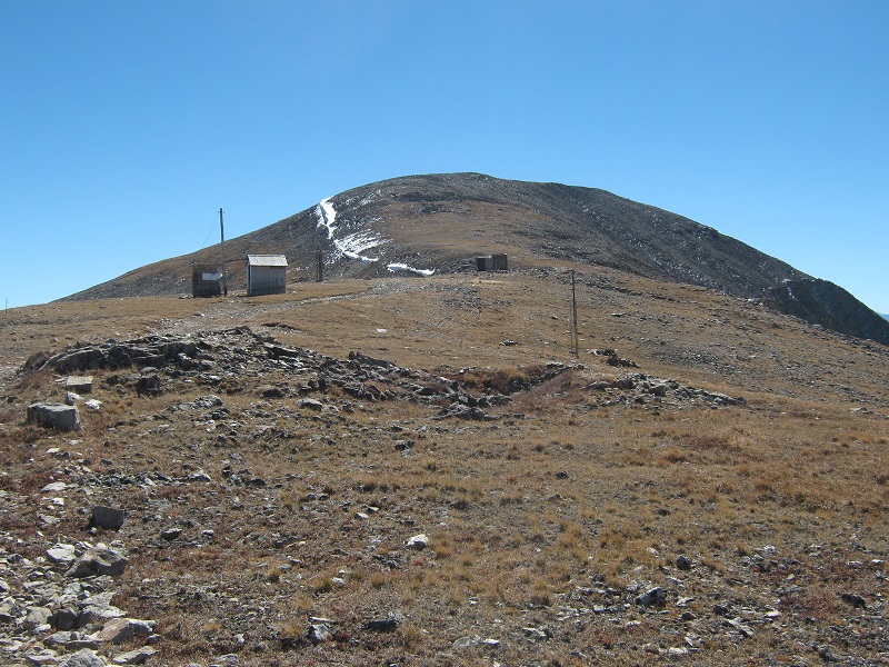
approaching the summit
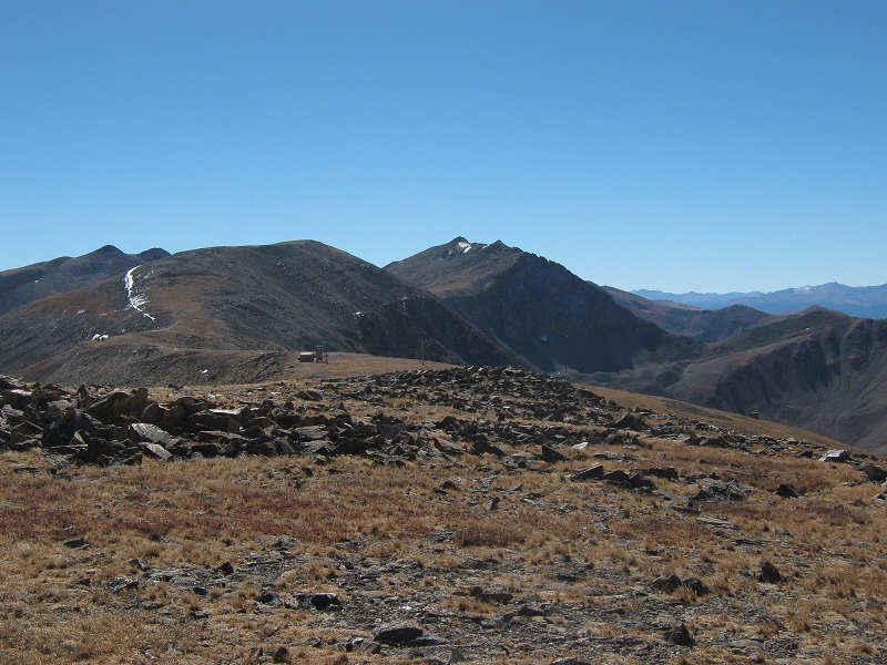
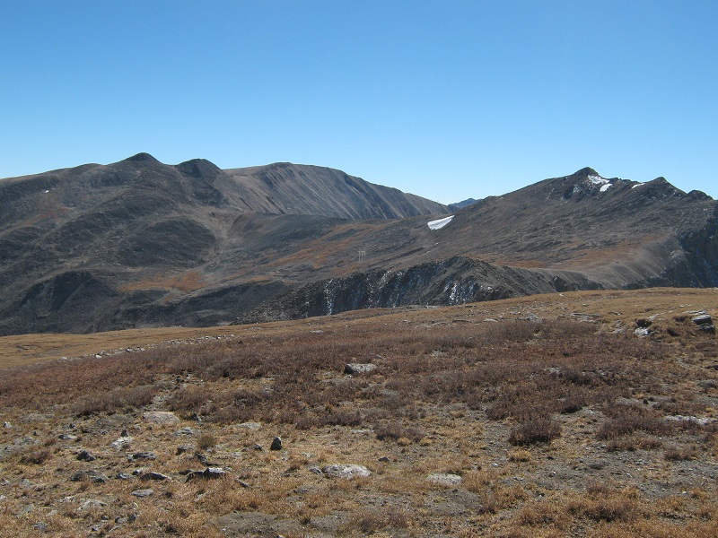
When I approached the final slope up toward Evans I noticed some vehicle tracks in the grass indicating that some jeep had driven over here from the pass. I stepped on the gentle summit at about 1 pm. It was 41 degrees and a chilly wind was blowing. There were nice views all around in the crisp autumn air. Mt. Sherman, Gemini Peak, and Dyer Mountain were a short distance away to the south, and I could see all the way to the distant Elk Range off to the west.
gemini peak, mt. sherman, and dyer mountain, left to right
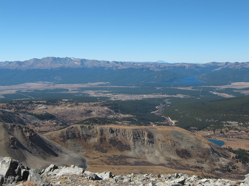
leadville is in the valley below, and turquoise lake lies beyond
After twenty minutes I left the top and rapidly retraced my steps back to the pass and down the road to my truck in the golden afternoon light.
a view up the valley to the northwest from near where my truck was parked
I returned to my truck at 3 pm and crawled back down the 4WD road and headed for home.