FAIRVIEW PEAK
(13,214’)TERRIBLE MOUNTAIN
(12,100’)July 25, 2018
By Tim Briese
5.0 miles, 1700’ elevation gain, 3:35 roundtrip time
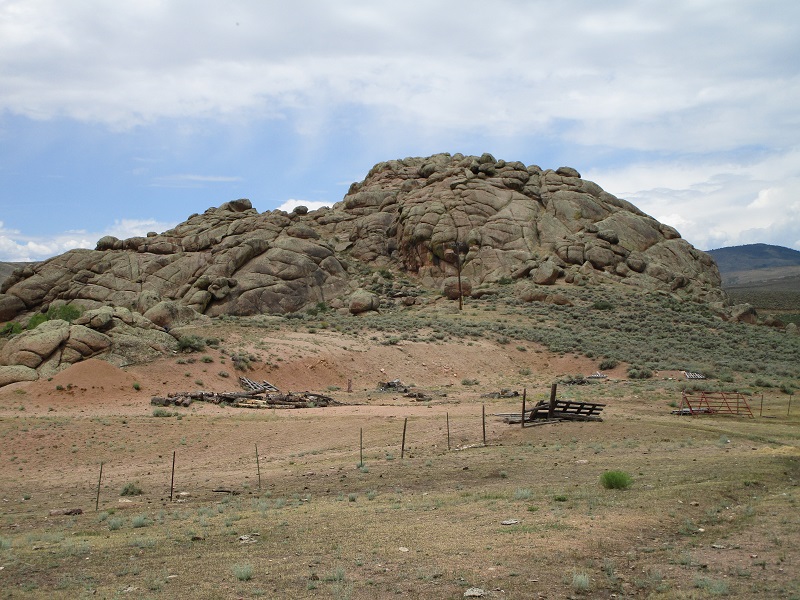
From the tiny village of Parlin, a few miles east of Gunnison, Brian and I turned off of U.S. 50 and took a paved road about 15 miles northeast to Pitkin, passing interesting Indian Head Rock along the way.
indian head rock
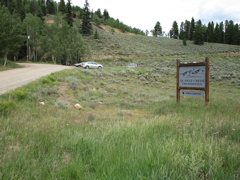
Just as we approached the outskirts of Pitkin we turned left onto a gravel road where we saw a sign denoting Quartz Creek Properties. We left Brian’s vehicle here at a parking area and continued in my truck.
we turned off the main road here and left brian's vehicle with the other parked vehicles
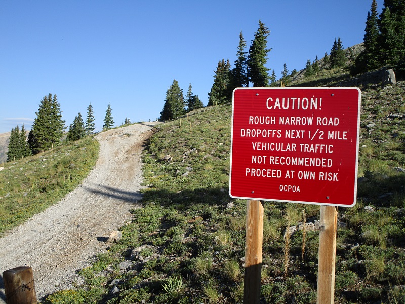
Roads are complicated in the area and we relied on good directions that Brian had found online. We drove steeply uphill to the left and immediately entered Quartz Creek Properties on Chicago Park Road. Roads in this subdivision are private, but appeared to us to be okay to drive on as long as one did not stop or park. Within a mile we turned left onto Grasshopper Road, which later turned into Highline Drive Road. Most of the drive was quite steep on this maintained 2WD road. After 6.9 miles from the parking area we turned left onto the Terrible Mountain Road and followed it 0.5 miles where we came to a sign placed by the subdivision warning that the road ahead became a rough and narrow 4WD track. It took us about 20 minutes to drive from the parking area up to this point.
the ominous sign
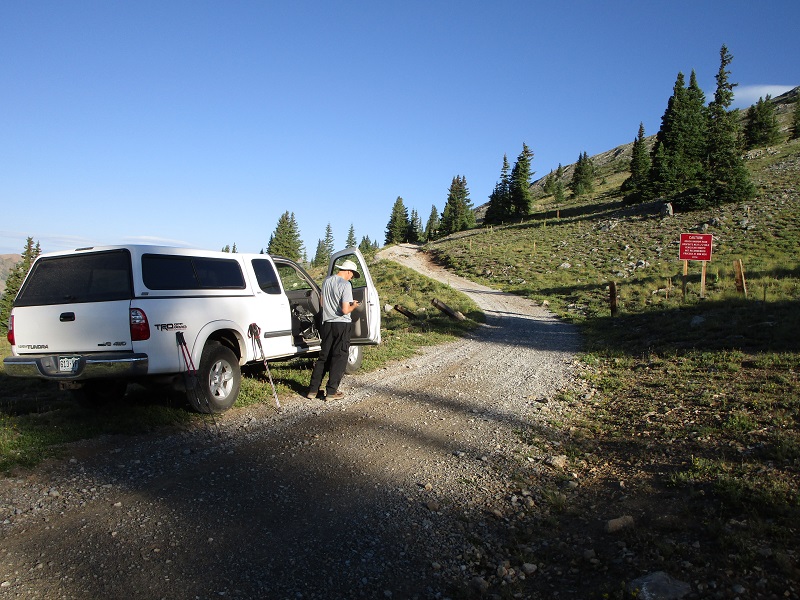
We tried driving up the steep, narrow 4WD road but after 0.2 miles reached a rough spot that sloped steeply off the road to the left. I jumped out to inspect it, and not wanting to risk the ground giving way after recent rains and rolling my truck several hundred feet down the steep slope below, I carefully backed down the road and parked below the 4WD area, at about 11,700’ elevation.
we parked here
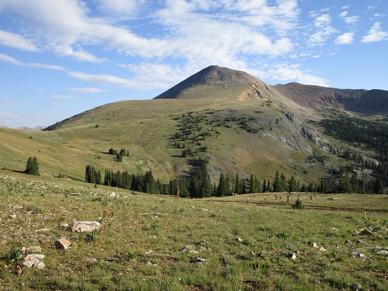
At about 7:40 we embarked on foot up the road. The road took us up to the Fairfield Mine, and then continued across the tundra all the way to 12,400’ at the base of Fairview Peak’s summit slopes. This climb was easy enough as it was, but with an ATV or possibly a jeep one could drive all the way to that point and make the climb very simple.
from near the fairfield mine, fairview peak looms ahead
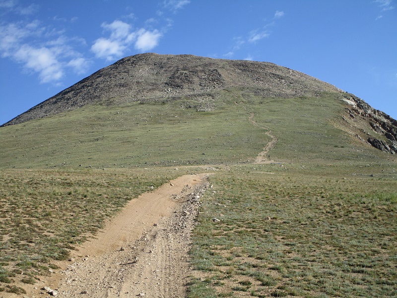
on the old road up toward the peak

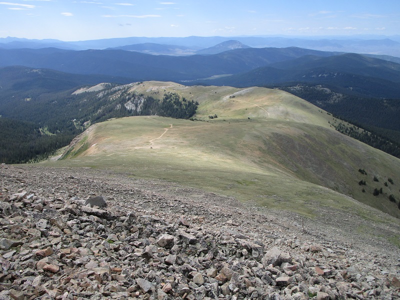
the road goes all the way to the base of the summit slopes
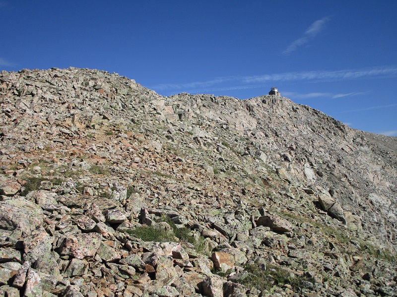
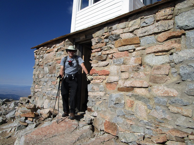
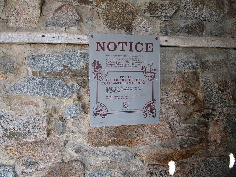
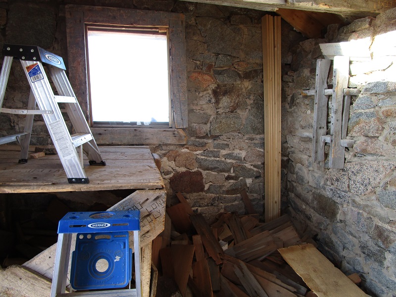
At the end of the road we found a great trail that went the rest of the way up to the summit, almost as nice as most 14er trails. As we approached the top we were surprised to see a small building perched right on the highest point. This is an historic fire lookout, the highest in North America, originally built in 1912 but abandoned over the years and now undergoing a restoration project begun by the forest service in 2008. We reached the summit at 915 and spent a relaxing 45 minutes resting there.
the fire lookout on the summit as we approached the top

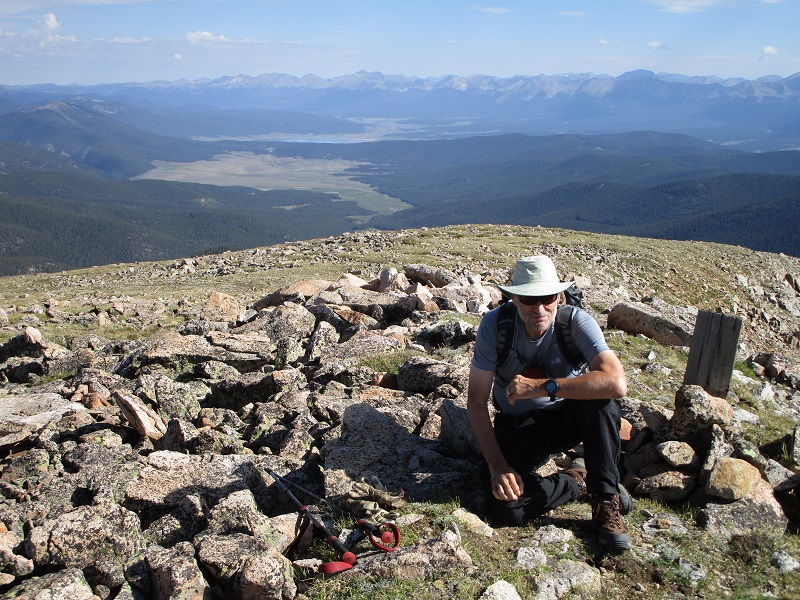
brian on the summit, with taylor park and taylor reservoir beyond in the distance
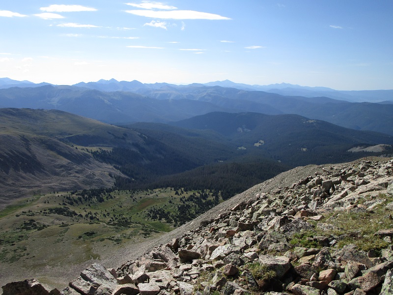
there were indeed fair views from the top of Fairview, spanning 360 degrees!
Shortly after we left the top we met a trio from Texas coming up the trail who owned a place in Pitkin who had driven an ATV all the way up to the end of the road. On the way back lower down we left the road for a short distance to stroll up a grassy slope to the top of unranked Terrible Mountain, a mere 100-200’ or so higher than the road.
on the trail down. terrible mountain is the highpoint of the grassy ridge above the road at the upper right
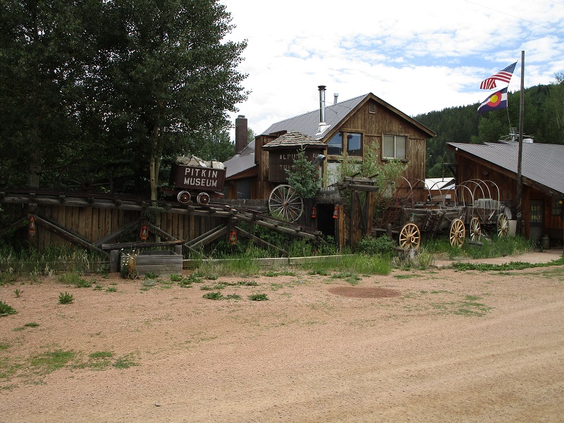
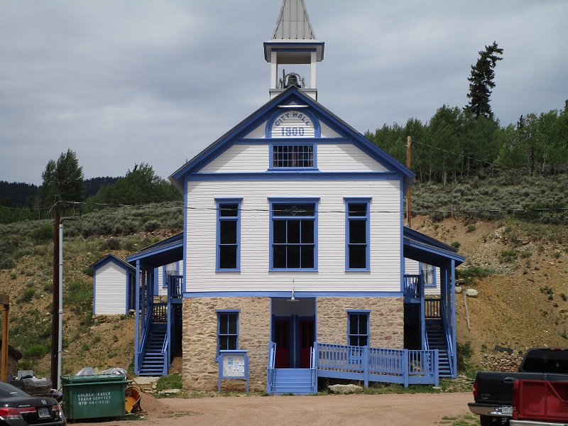
We returned to the truck at 1120 and visited with a friendly fellow there from Kansas on an ATV who also owned a place in Pitkin. After I dropped Brian off at his truck I drove into Pitkin to look around for a few minutes because I had never been there before. It reminded me of a miniature Lake City, with folks driving around on ATV’s on dirt roads, and historic structures dating to the 1800’s.
Today’s interesting outing offered several things not seen on most mountain climbs I have done.