UN 12780
FITZPATRICK PEAK
(13,112’)QUARTZ BENCHMARK
(8892’)August 19, 2019
By Tim Briese
UN 12780 and Fitzpatrick: 3.9 miles, 1400’ elevation gain, 3:40 roundtrip time
Quartz Benchmark: 0.9 miles, 300’ elevation gain, 0:30 roundtrip time
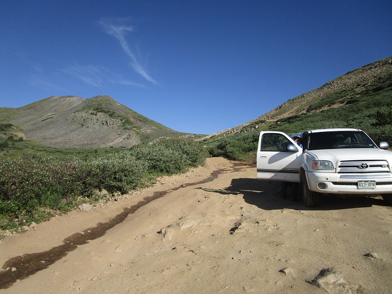
Brian and I left Salida and drove to St. Elmo, and continued up the rough Tincup Pass Road. This 4WD road was rough, rocky, and slow-going, worse than we expected, but then maybe we were spoiled by the excellent Cumberland Pass Road a few miles away that we had been on the month before. It is about 6 miles from St. Elmo to the pass but we stopped and parked about 0.6 miles before reaching the pass at a spot that I deemed impassable for my Tundra to safely continue, at about 11,970’ elevation. It took us about an hour and ten minutes to drive here from St. Elmo, including about 5 minutes we used along the way walking over to unranked Sawmill Hill (11,780’), a few dozen yards off the road.
we parked along the road here. tincup pass is in the center, and un 12780 is to the left.
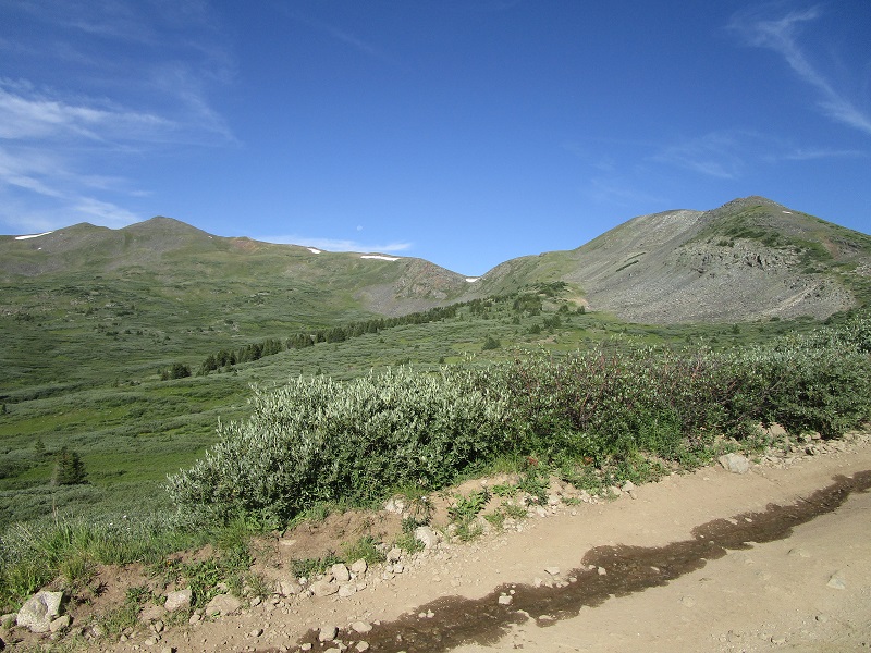
un 12780 is to the right, fitzpatrick peak is to the left
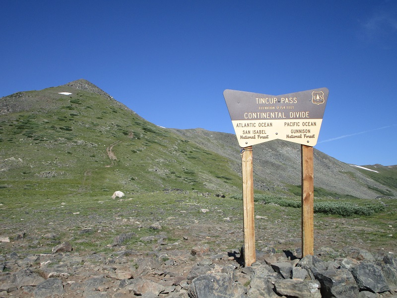
A few minutes after 9 am we left the truck and hiked up to 12,154’ Tincup Pass, which took about 15 minutes.
at tincup pass. the slope up to un 12780 is at the left.
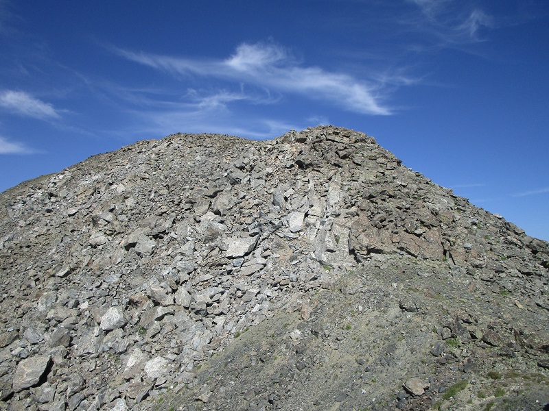
From the pass we headed up the slope to the west toward 12780. It was an easy climb on good footing up to near a false summit, where we went left around a talus pile, past a notch, and then to the right on talus up to the summit, where we arrived a few minutes after 10.
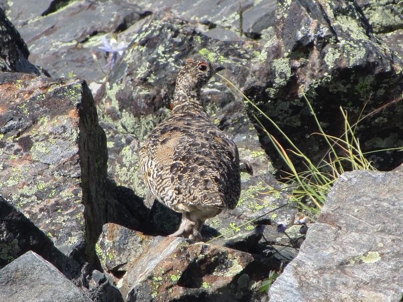
a well-disguised ptarmigan on a rock on our way up to 12780
talus on he approach to the summit of 12780
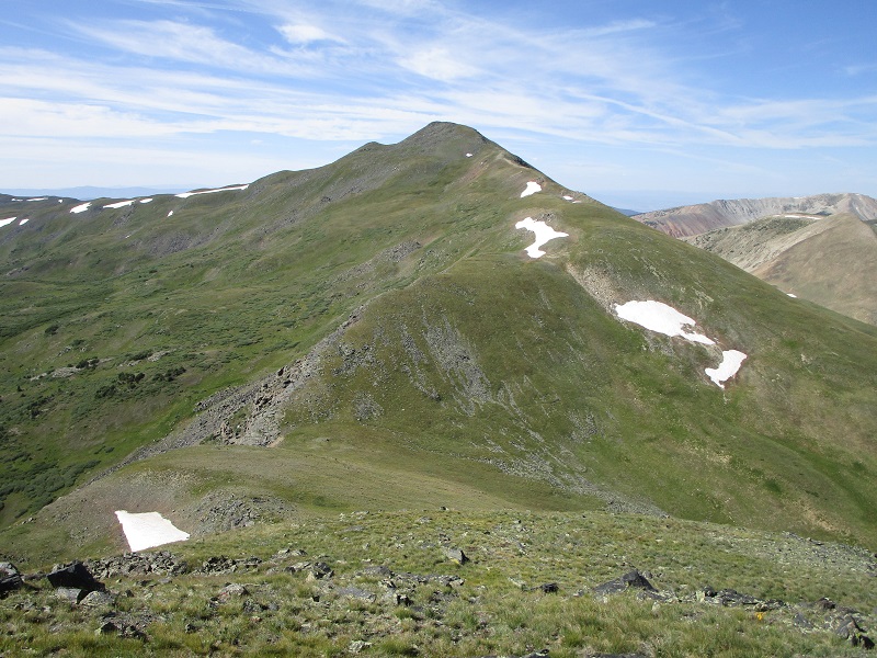
fitzpatrick peak from 12780
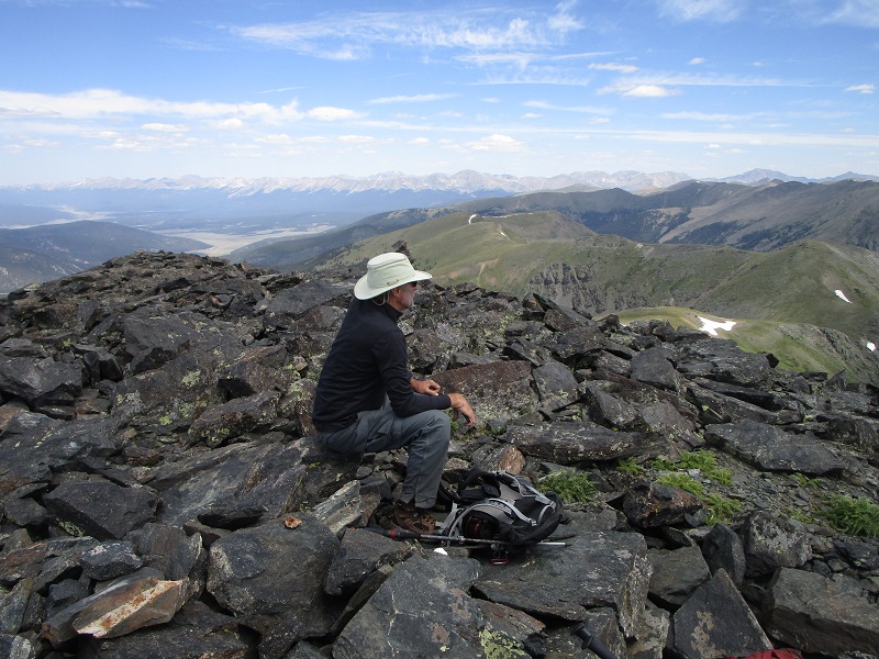
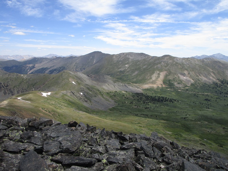
From UN 12780 we descended southwest on a grassy slope to the 12780/Fitzpatrick saddle, then followed an easy slope almost entirely on grass up to Fitzpatrick. We arrived there about 1115. This was a nice peaceful summit to enjoy on this beautiful day and we rested there for half an hour.
brian on the summit of fitzpatrick peak
a view of tincup pass and the road, with un 12780 to the left
We left and hiked back down to the saddle and found a very convenient trail that made a descending traverse across the steep south slope of 12780 which took us right back to the road. After a quick walk back down the road we arrived at the truck at 1245. This was a nice easy and pleasant jaunt today. While we were resting on the tailgate of the truck several jeeps and ATV’s rolled by, and one friendly and jovial fellow stopped to visit. When we told him that we climbed mountains, he asked, with a grin on his face, if mental illness runs in our families. The answer to that, of course, is absolutely, we are proof of that!
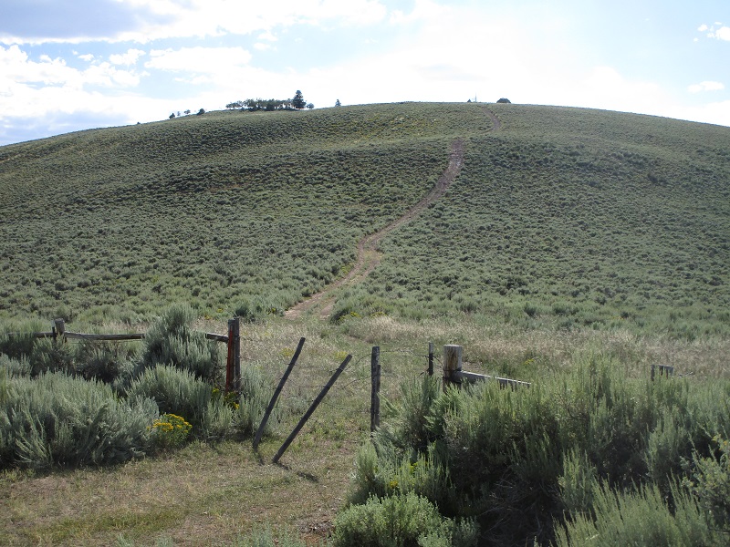
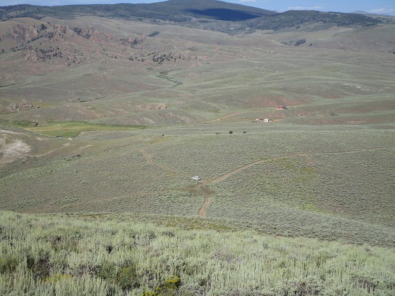
We headed to Gunnison for the evening and stopped to climb Quartz Benchmark along the way. From US 50 in Parlin we drove east on CR 76 3.6 miles, then went south on CR 44 about 1.0 miles. At this point we left the road and turned west onto a track which we followed through the sagebrush, went up a short steep hill and after 0.5 miles parked at a closed gate.
we walked this track up the hill to the summit
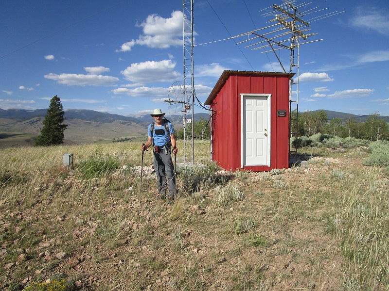
From the gate we headed west on foot on the continuing track up a steep hill and 13 minutes later arrived on the summit. There were some communication towers there and long views to parts distant.
brian on the summit of quartz benchmark
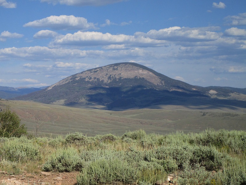
there was a nice view of tomichi dome from up here
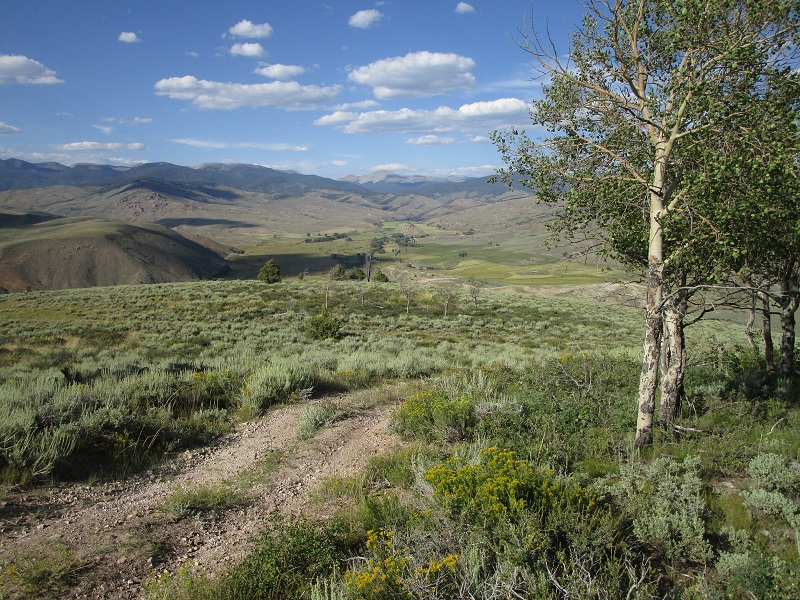
a view to the northeast down the quartz creek valley
on the way back down to my truck
After 5 minutes we left the top and walked back down to the truck and drove on into Gunnison.