GILPIN PEAK
(13,694’)August 25, 2011
By Tim Briese
6.0 miles roundtrip, 2400’ elevation gain, 5:35 roundtrip time
Brian and I drove up into Yankee Boy Basin for the second time in three days and parked in a nice parking area along the road at about 11,300 feet. This was a short distance further up the road from where we had parked for our Potosi climb two days before. The nicely graded road had deteriorated quite a bit in only two days due to a rainstorm the afternoon before.
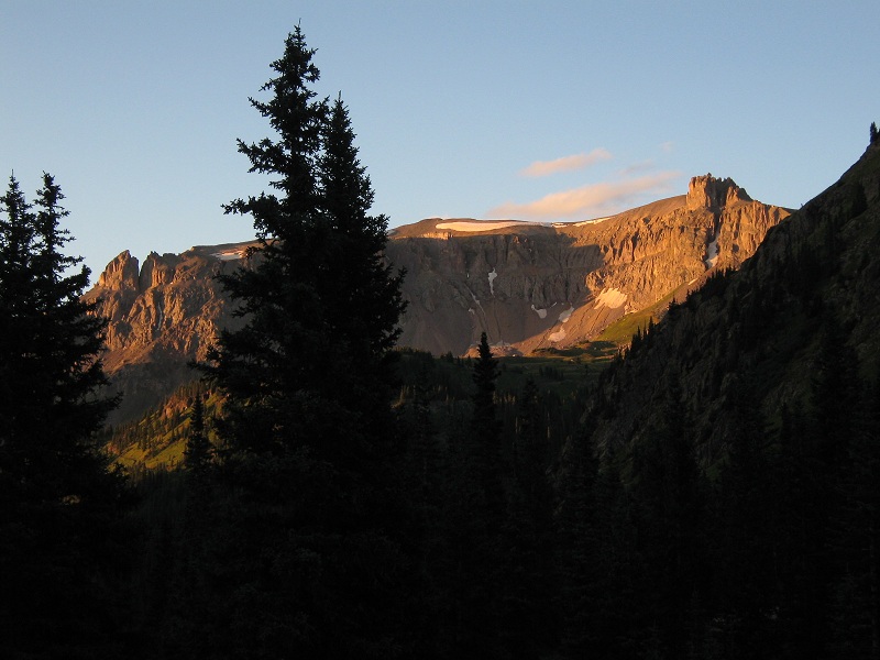
a scenic view from the parking area in the early light
At 6:55 we started hiking up the 4WD road that continues up into the basin and followed it all the way up to the end of road.
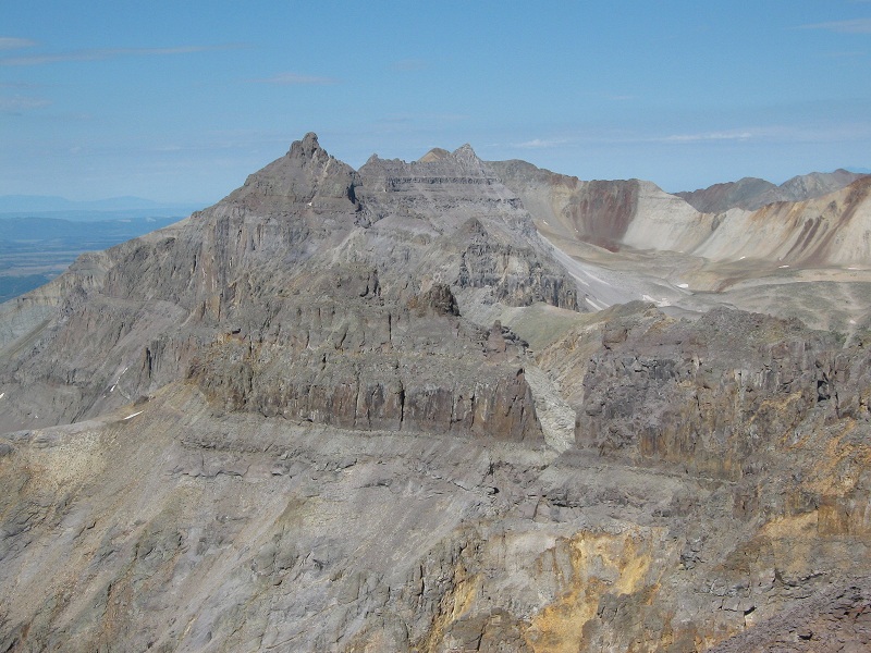
a preview of rugged gilpin peak, at the far left, as we approached. our route went to the saddle at the right and then left up to the peak
From the end of the road we continued on the Blue Lakes Trail for a short distance before cutting off and contouring south across loose slopes toward the saddle on the ridge north of Gilpin. The peak looked very rugged and imposing as we approached closer.
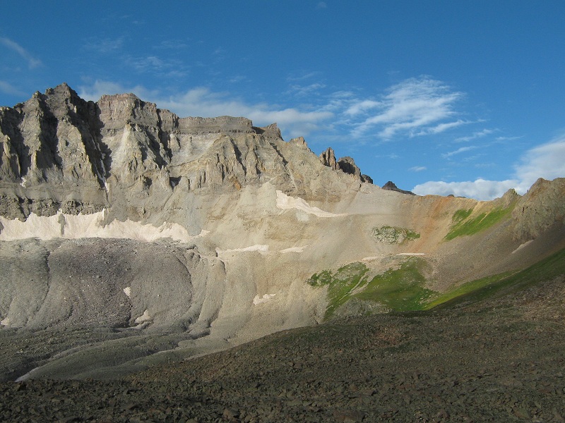
we contoured across this slope past the bottom of the rocky ridge in the foreground then went right up to the saddle that is hidden behind the ridge
We contoured below a rocky rib and a bank of snow and then ascended 300 feet up a flowery slope and arrived at the saddle at 8:50.
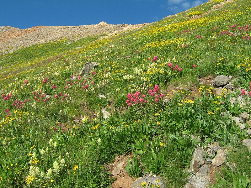
the flowery slope up to the saddle
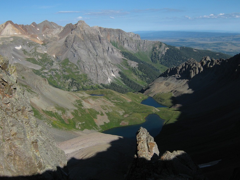
there was a nice view of Blue Lakes on the other side of the saddle
We followed the ridge south from the saddle on a climbers trail.
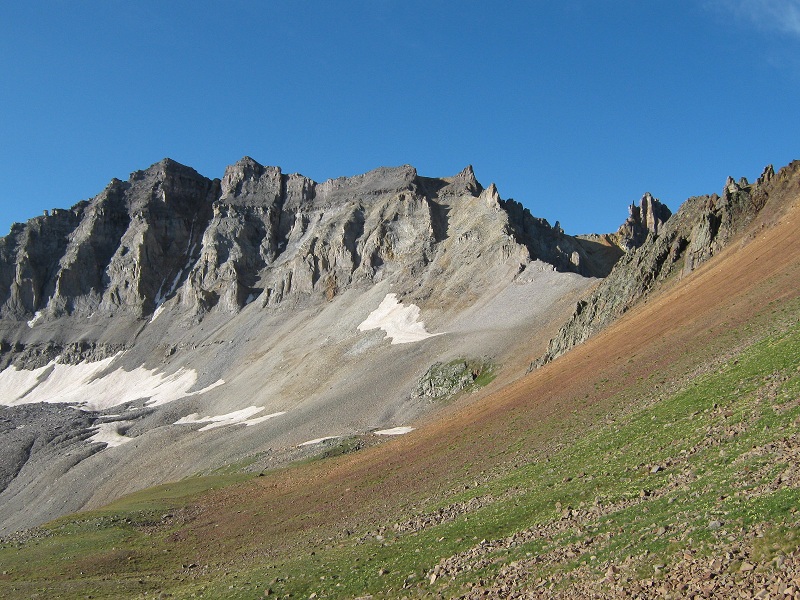
view of our route from the saddle. we went up near the ridge on the right, staying to the left of the towers

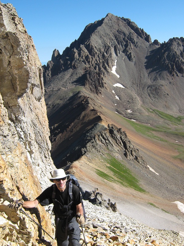
We made a challenging climb up an extremely loose and steep talus and dirt slope up to the peak’s west ridge. The tedious 400 foot climb up this slope was by far the most difficult part of the climb.
brian coming up the loose slope

the climbing was rugged but the scenery was spectacular. mt. sneffels towers above
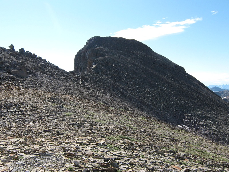
When we reached the top of the slope the terrain became much easier and we followed a slight climbers trail to the east around a false summit.
the trail circled to the right around the top of this false summit
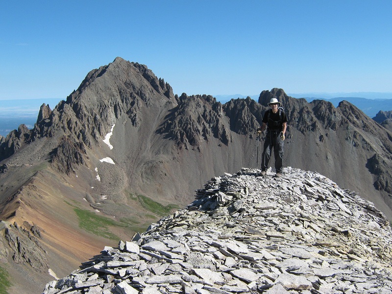
In short order we arrived on the summit at 10 a.m.
brian on gilpin's summit, with mt. sneffels beyond
We sat in the bright morning sunshine and enjoyed the incredible views from this spectacular vantage point for quite a while.
view of yankee boy basin. teakettle mountain is to the left, potosi peak is to the right
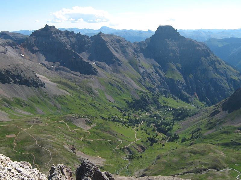
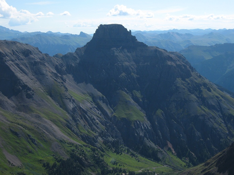
potosi peak
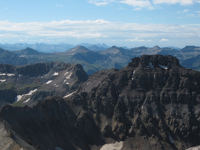
mt. emma at the right, with the san juans laid out beyond
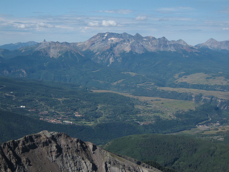
telluride and the wilson group of peaks
dallas peak, at the left
Soon we noticed that clouds were starting to explode into the sky with alarming speed so we left at 10:40 and headed down. As we scooted rapidly down the loose slope I turned to look back up at the darkening clouds and was shocked to see a hang glider soaring above! I saw it for just a moment before it disappeared behind the ridge. Instead of going back to the Blue Lakes Trail we did a descending traverse down a grassy slope to the Wrights Lake Spur Trail and followed it past the lake back down to the road. We strolled through beautiful flowery meadows coming down the trail.
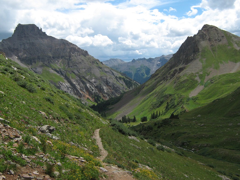
on the way down the wright's lake trail
This trail would have been a shorter way to go on the ascent but I didn’t mind doing the slightly longer nice loop hike that we did. Sprinkles were falling from the increasingly dark skies so we hurried down the road and arrived at the truck at 12:30. Minutes after we left the parking area rain and lightning cut loose and continued all the way back to Ouray. I dropped Brian off at his car in Ridgway and headed for home.