GRANBY AREA PEAKS
UNNAMED 9434
UNNAMED 10626
UNNAMED 10854
COTTONWOOD BENCHMARK (10,119’)
July 27, 2022
By Tim Briese
UN 9434: 0.8 miles, 300’ elevation gain, 0:40 roundtrip time
UN10626: 2.0, 600’, 1:30
UN 10854: 2.1, 300’, 1:05
Cottonwood BM: 0, 0’
Brian and I drove northeast on the excellent Meadow Creek Road, FR 129, from Highway 40 between Winter Park and Granby to access a few low easy peaks today. A few miles up the road we drove right past UN 9434 on our left and parked at a sharp curve in the road just beyond. We made a straightforward bushwhack up the northeast ridge to the top, contending with plenty of deadfall along the way.
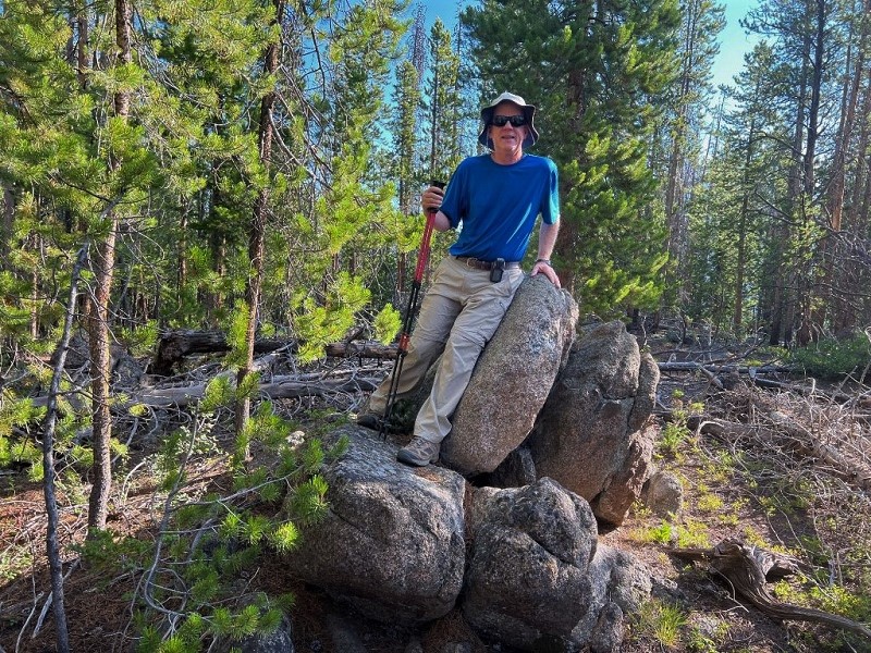
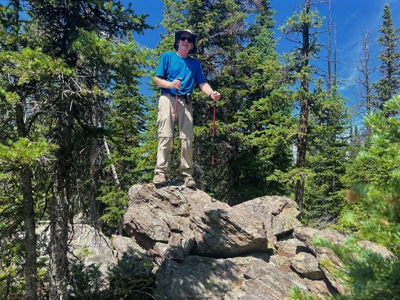
me on top of un 9434 (photo by brian schultz)
Then we drove several more miles up the road to the Meadow Creek Reservoir to climb UN 10626, which rose less than a mile to the northwest of the reservoir. We parked in the fisherman’s parking area on the west side of the reservoir at about 10,000 feet elevation.
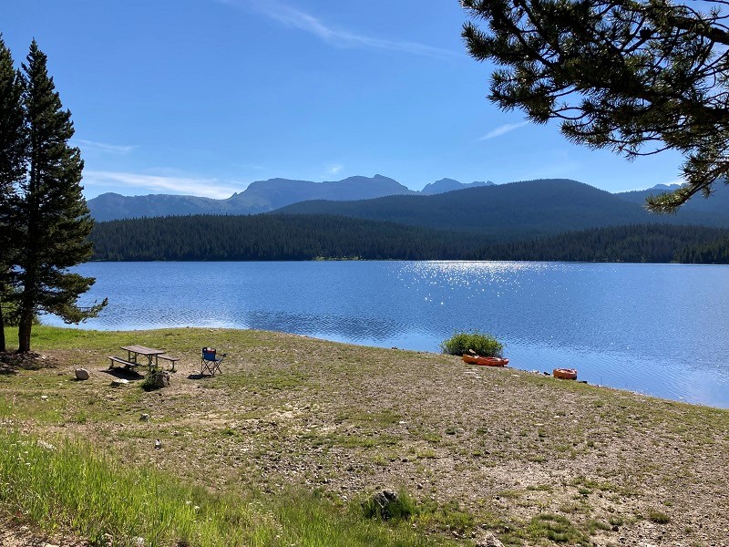
a beautiful day at meadow creek reservoir
Thanks to Brian’s digital maps downloaded on his phone we found an old overgrown road that we followed up toward the peak. This was very convenient and saved a lot of rough bushwhacking.
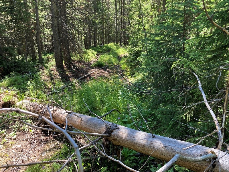
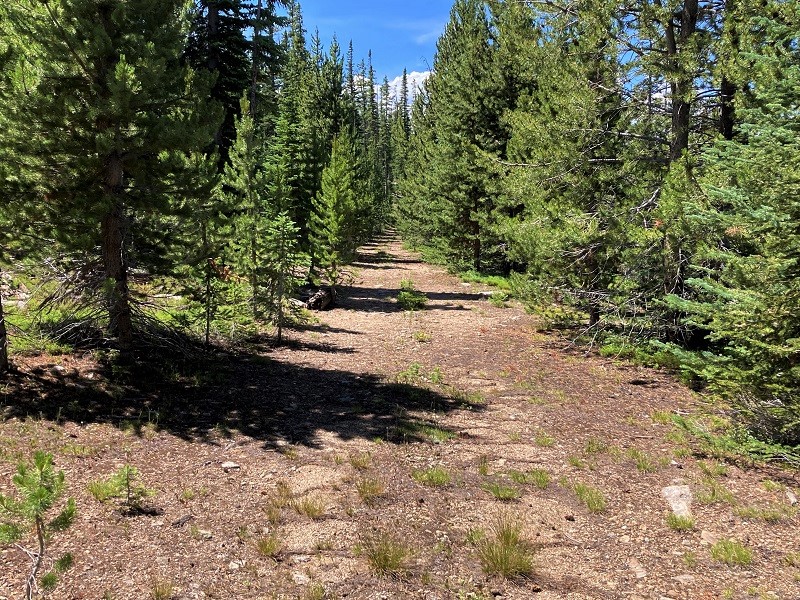
the old overgrown roadway, which obviously hadn't been used in quite a while
We left the old road at 10,400 and made a very reasonable bushwhack up a semi-open slope through the trees to the gentle summit plateau and then strolled a few hundred yards northwest to the highpoint.
brian on the summit of un 10626
After returning to the truck we continued on the road as it looped around the reservoir and climbed to the southwest, in a little rougher condition now. Brian identified UN 10854 with his GPS as he had the other peaks, and we parked at a convenient spot along the road and hiked another old roadway up toward our peak.
this old road made for a nice easy approach to the peak
There was some deadfall across the road which got worse the further we went. We chose a point to leave the road and bushwhack up through the trees to the mostly open and gentle summit plateau above. We hiked southwest and soon claimed this summit too.
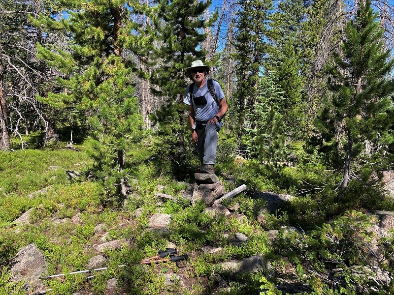
on top of un 10854 (photo by brian schultz)
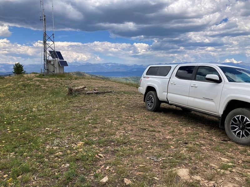
We drove back to Hwy. 40 and went west a few miles and turned left onto the Cottonwood Pass Road. We drove this excellent gravel road several miles to Cottonwood Pass and turned left onto FR 253. Cottonwood Benchmark was 1200 feet above about a mile southwest of the pass. FR 253 climbed steadily and looped around to the other side of the peak. There was a very steep and rough spur road that climbed the final third of a mile to the top, providing access to a tower up there. We were expecting to have to walk that road but I put the truck in low range and managed to drive on up to the top. We jumped out and looked around and took some photos. The sweeping views from this summit are quite panoramic.
on the summit of cottonwood benchmark
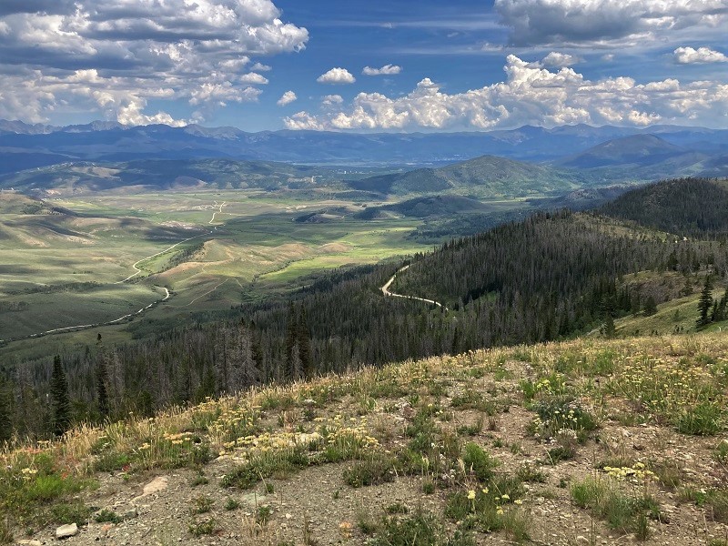
nice views up here
With four peaks under our belts we decided to call it a day.