HARMONICA ARCH
August 22, 2023
By Tim Briese
6.6 miles, 1200’ elevation gain, 5:30 roundtrip time
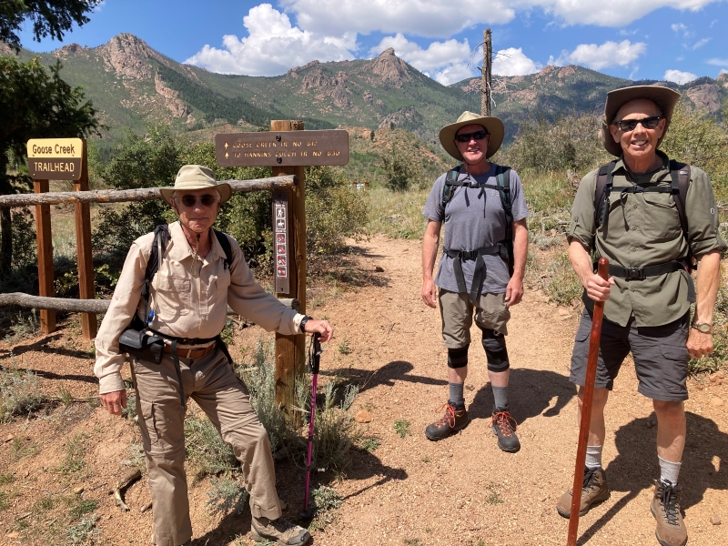
One day my friend Craig from my church suggested that we hike to Harmonica Arch sometime. He had done it years before and said it was quite an adventure. I was all in. Harmonica Arch is a remote and difficult-to-reach place in the Lost Creek Wilderness. I rode with Craig, Mark, and Kurt to the Goose Creek Trailhead on the east side of the wilderness area where the hike would start. I had been to this trailhead many times before but always approached from the south, so it was interesting to come in from the north via CR 126 and the Matukat Road.
mark, kurt, and craig at the trailhead
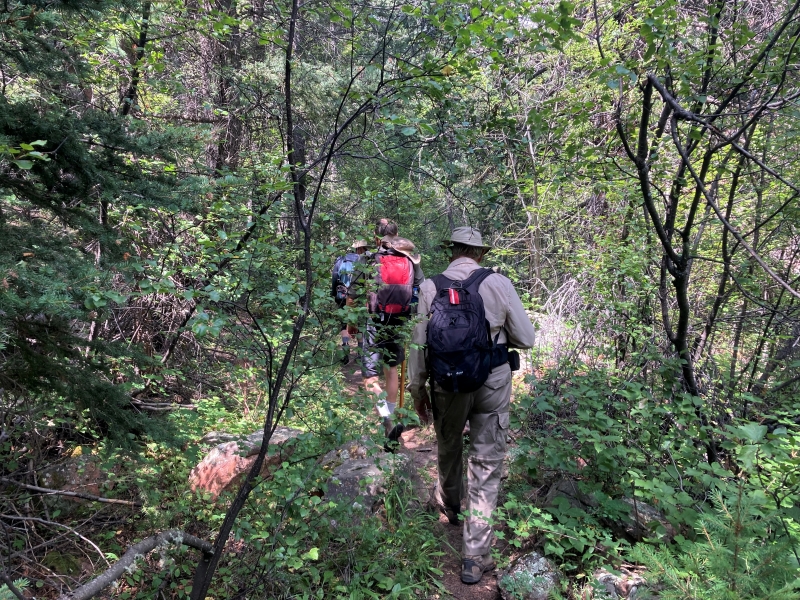
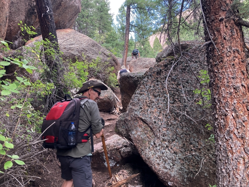
The four of us embarked from the trailhead and followed the excellent and well-worn Goose Creek Trail down the hill and then north to Goose Creek. Just before the trail crossed the creek on a nice bridge we turned left and took a much fainter use trail that went along the creek on the opposite side from the Goose Creek Trail. This trail was rough and challenging in spots with confusing side trails here and there.
hiking on the overgrown trail
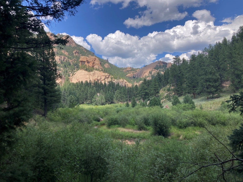
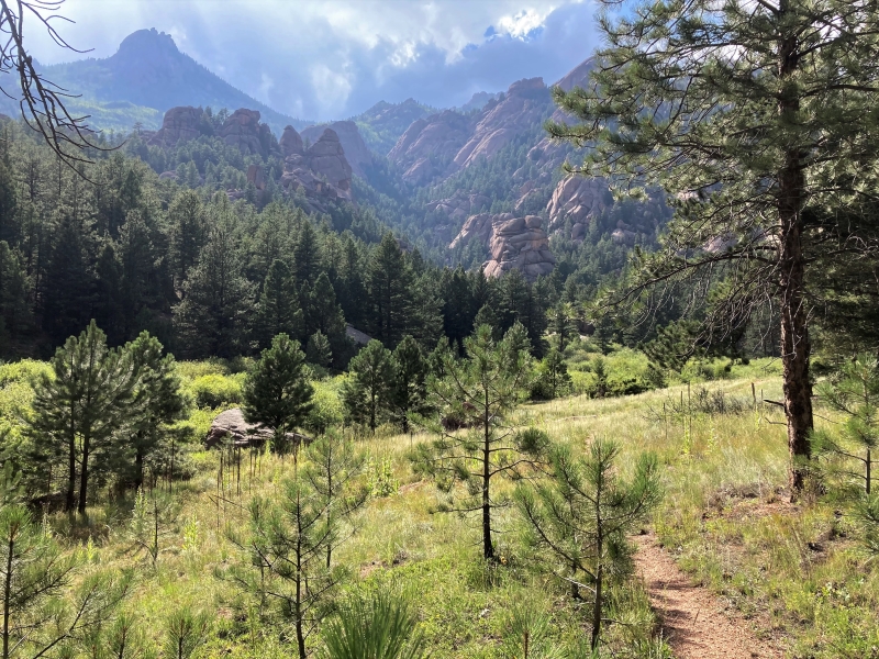
a nice view of the lost creek wilderness looking up the goose creek valley
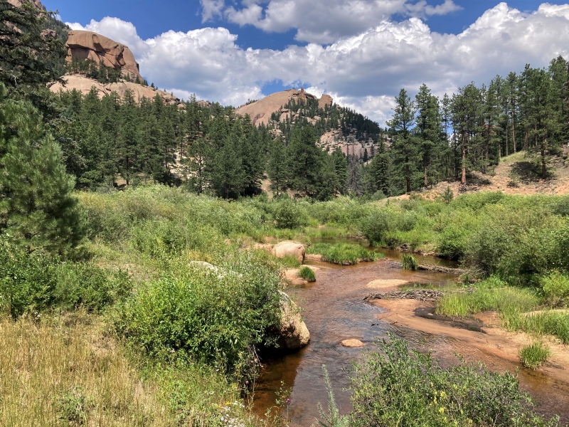
goose creek
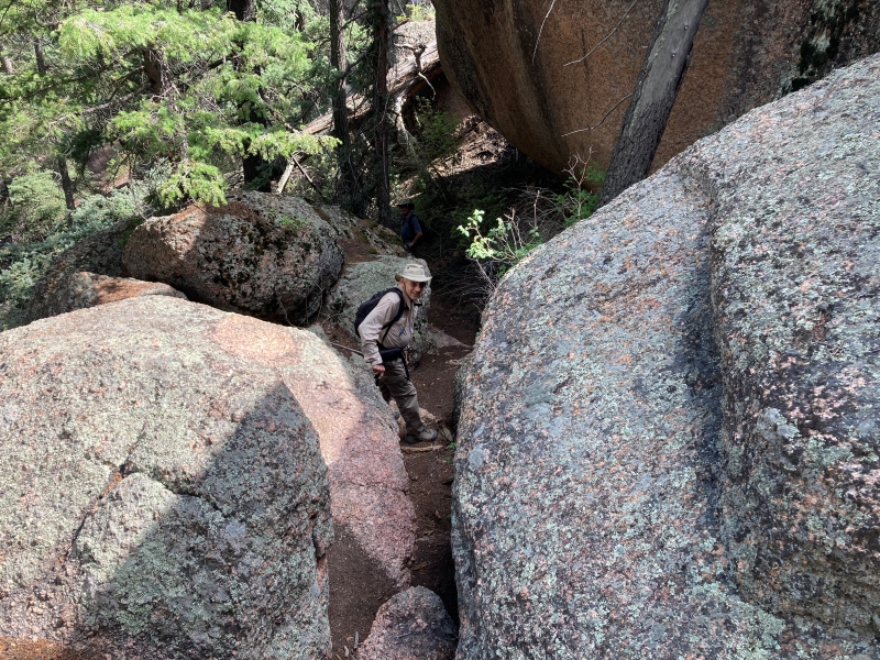
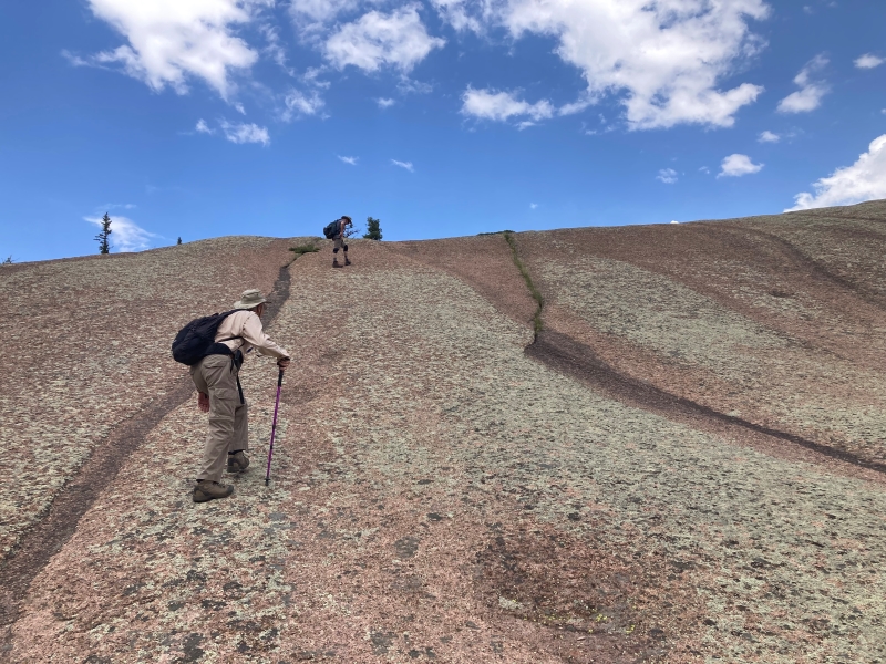
We were supposed to leave the creek and take a side trail up into a steep canyon toward Harmonica Arch at some point. Kurt had done the hike before but it had been a long time, and he led us on a couple of false starts before we found the correct drainage. I had read that the route is hard to follow so I downloaded the All Trails route onto my phone so we could find our way via GPS and that came in handy. Eventually we found the right drainage and headed up a rough use trail and found it be steep, rough and loose much of the way, gaining about 700 feet in a half mile or less. Craig remarked that it seemed far more difficult than he remembered years ago. Time has a way of doing that to us! The forest service strongly discourages use of this route due to erosion and safety concerns, but it is not prohibited at this time.
hiking up the rough trail
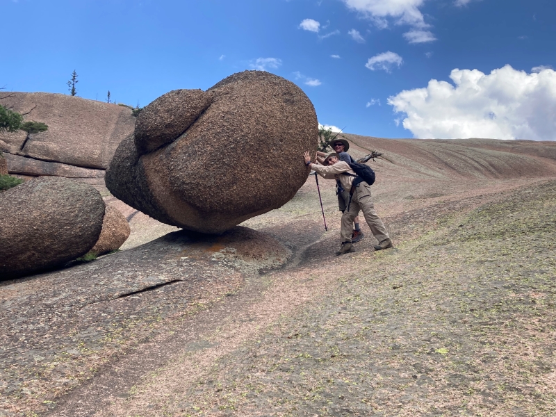
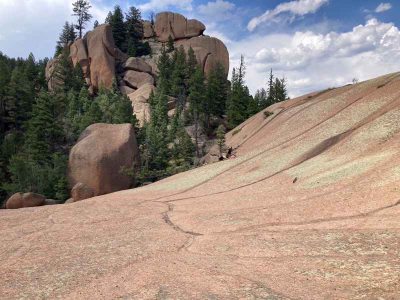
We eventually climbed up onto easier open terrain past a balanced rock and hiked on immense granite slopes and slabs that had an other-worldly feel.
mark and kurt at the balanced rock
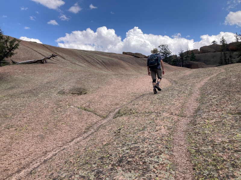
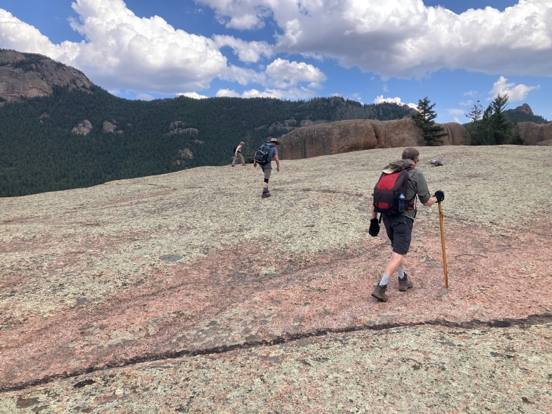
It was fascinating exploring this terrain as we looped back around to the east and headed toward the as-yet unseen arch.
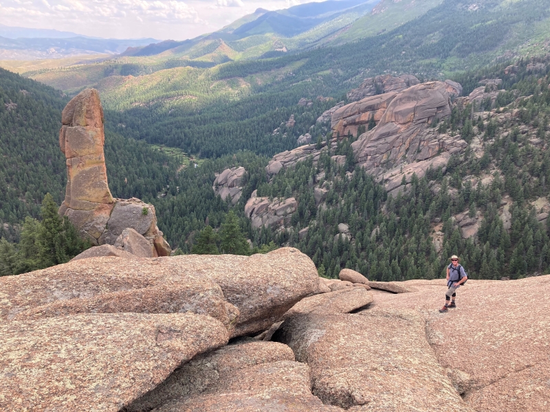
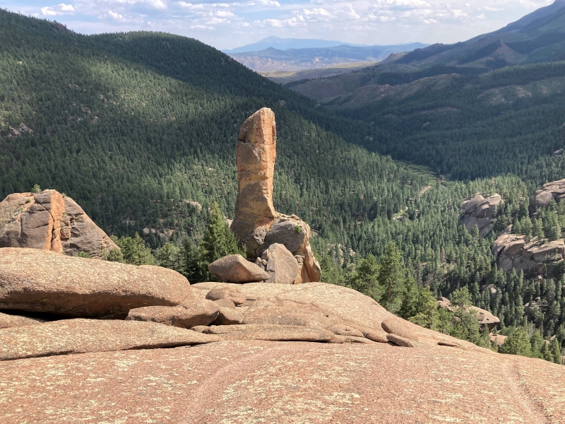
When we reached the vicinity of an impressive pinnacle the granite started sloping sharply away to the southeast.
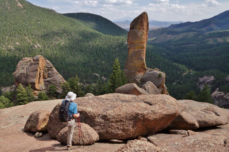
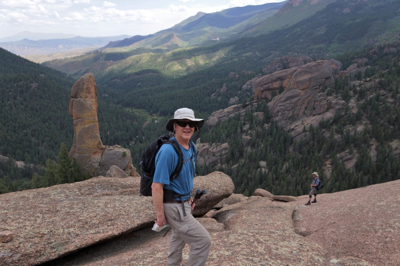
We needed to go down that slope and around a corner to see the arch. It was an unnerving place to be.
kurt is about to climb down and go around the corner to the left to see the arch
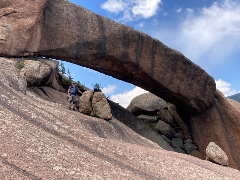
Kurt went down and found the arch and Mark decided to just stay put on higher and safer terrain. Craig and I were uncertain but decided to ease down the steep face along a crack and work our way down to the arch viewpoint. It certainly got the adrenalin going but the view was well worth it.
harmonica arch. the black stripes resemble the keys on a harmonica.
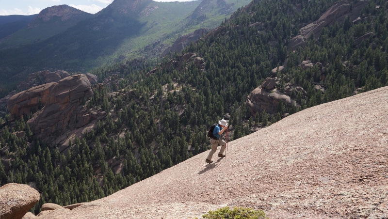
Afterward we climbed back up the steep slope and took a few more photos before heading back down the steep trail.
coming back up the steep slope from the arch
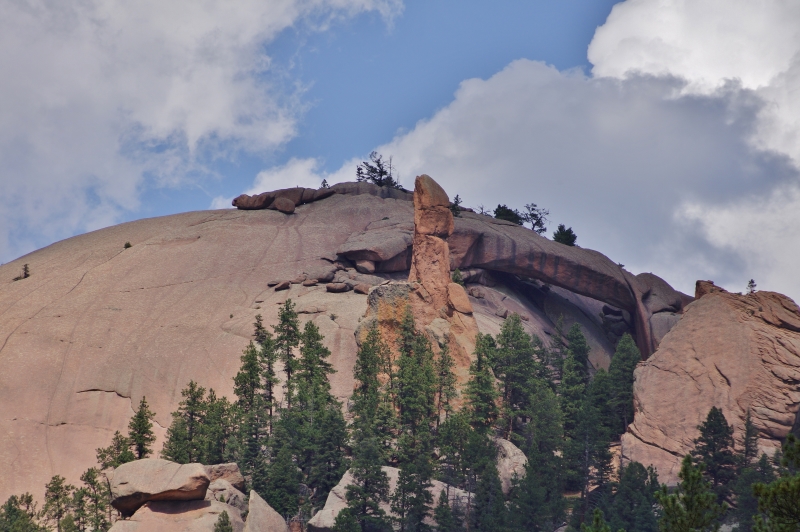
the arch and pinnacle from the trail below. we came down the steep slope in the center to see the arch.
When we got back down by the creek we decided it would be much easier to cross the creek and return on the excellent Goose Creek Trail rather than return via the sketchy trail we had come in on. We searched for a while looking for a log crossing but in the end decided to just take our boots off and wade across.
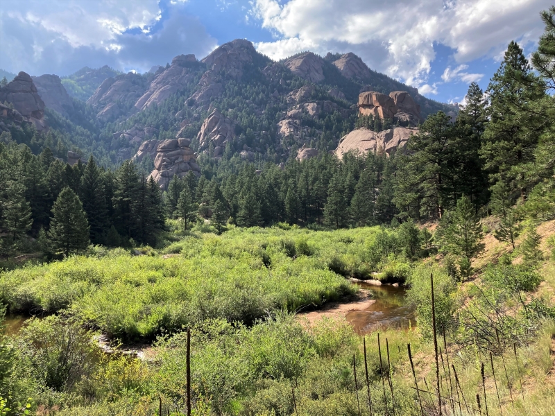
a scenic afternoon in the lost creek wilderness
It was a relief to get back on the highway-like Goose Creek Trail for the return to the trailhead.