HIGHLAND MARY LAKES, CDT LOOP HIKE
July 30, 2020
By Tim Briese
8.7 miles, 2300’ elevation gain, 9:30 roundtrip time
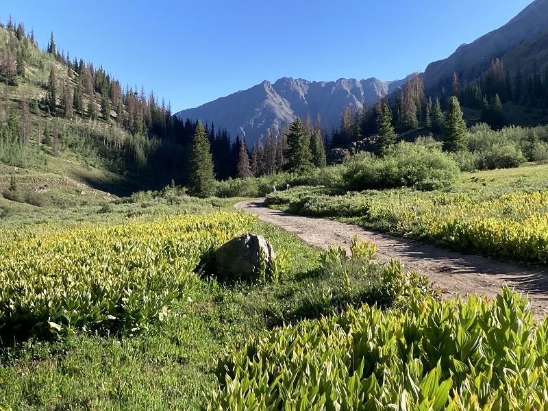
Teresa and I drove up the Cunningham Gulch Road northeast of Silverton to its very end and parked at the Highland Mary Lakes Trailhead on a beautiful July morning. There were numerous campers along the way and the road was in pretty good condition except the last mile which was a little steep and could be troublesome for a passenger car. The elevation at the trailhead was about 10,800’. I had visited some of this beautiful area in 2018 when I climbed Mt. Rhoda and Mountaineer Peak and looked forward to coming back and exploring more of it today with Teresa.
a beautiful morning in cunningham gulch. photo taken from the trailhead looking back down the valley.
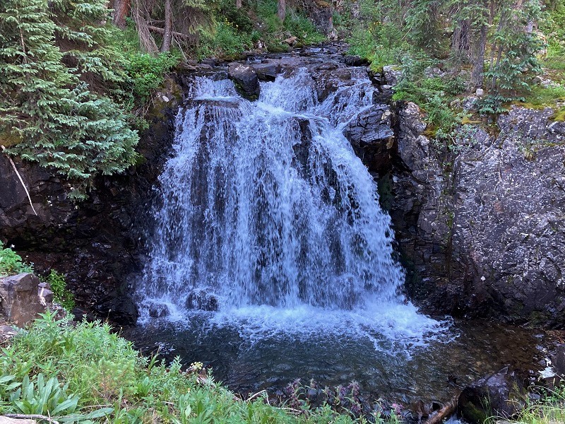
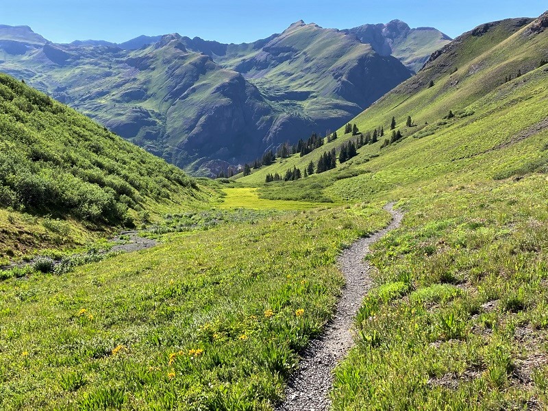
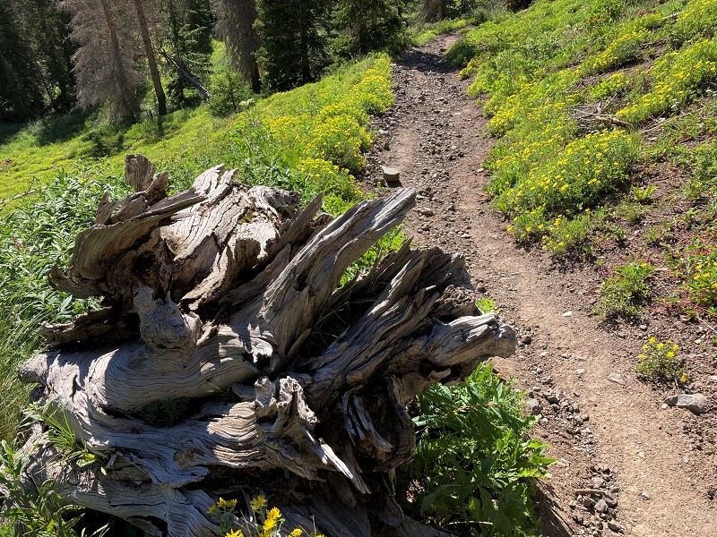
At about 830 am we headed up the Highland Mary Trail along Cunningham Creek. The trail was a little rocky in places and gained elevation quickly. In spite of numerous beetle killed trees this was a beautiful hike, with roaring waterfalls and colorful wildflowers adorning the way.
the trail went along cunningham creek
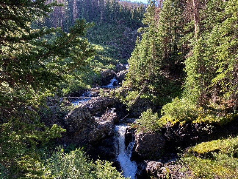
a waterfall along the way
In a couple of miles we passed timberline and continued through groves of willows and approached the first of the Highland Mary Lakes, which rests in the tundra at about 12,200’.
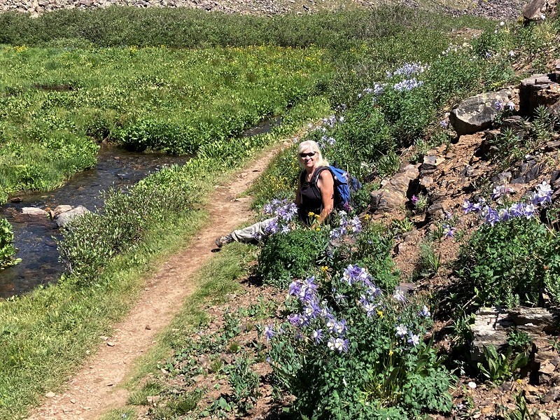
colorful columbines and other wildflowers
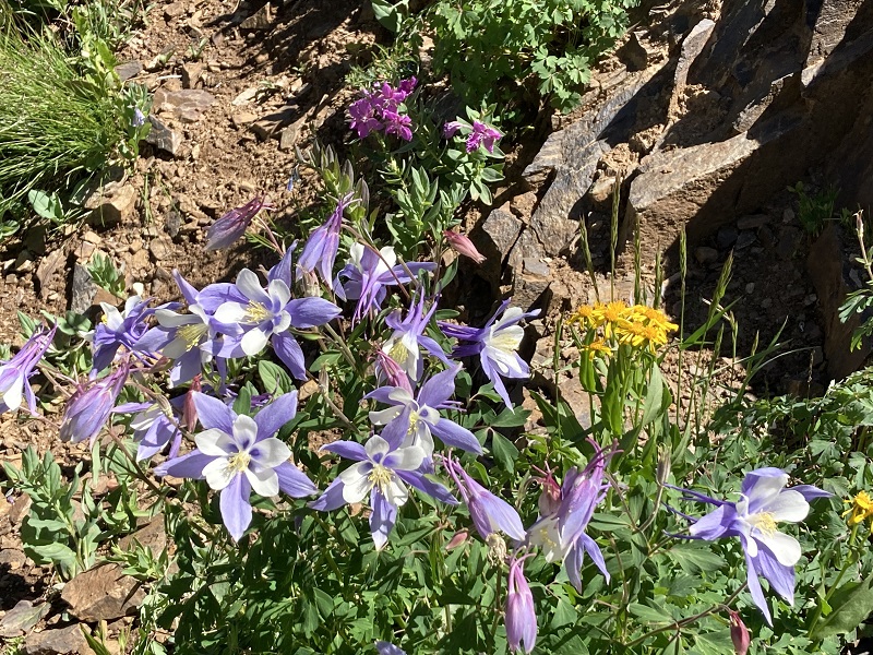
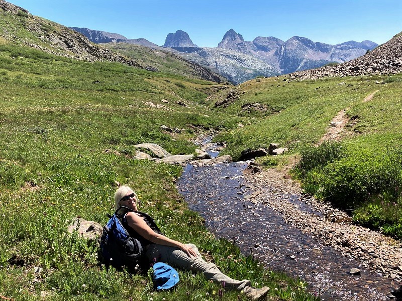
teresa taking a break in the columbines
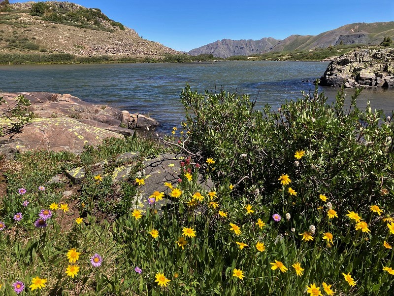
the first of the lakes that we came to
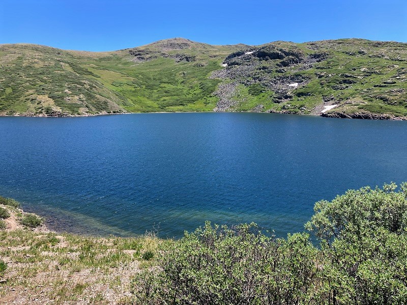
We saw several other hikers enjoying this popular hike today. The nice trail continued up to a second larger lake where we stopped for a break for a while.
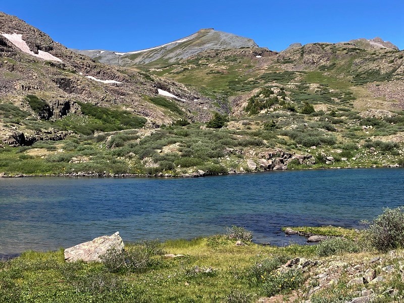
the second lake we arrived at. mt. rhoda is above in the center, which i climbed in 2018.
We were just exploring today and didn’t have a firm itinerary in mind, but decided to continue on the trail past the lakes and head uphill on it across the tundra to the south.
from the lakes we continued on a trail up to the saddle at right center
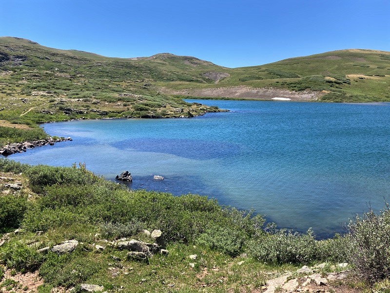
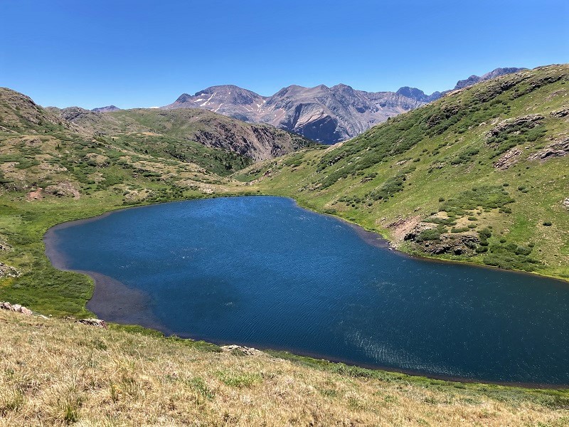
We soon passed a third and even larger lake, which was the largest lake I could remember seeing at such a high elevation, about a half mile long.
the third and largest of the lakes
We hiked up the trail across the tundra to a gentle saddle at about 12,400’, where we were treated to a nice view of beautiful Verde Lake in a basin below, and to spectacular views of Arrow and Vestal peaks to the south.
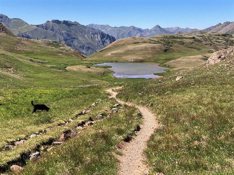
verde lake
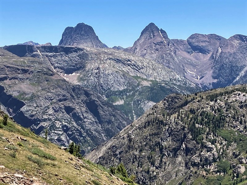
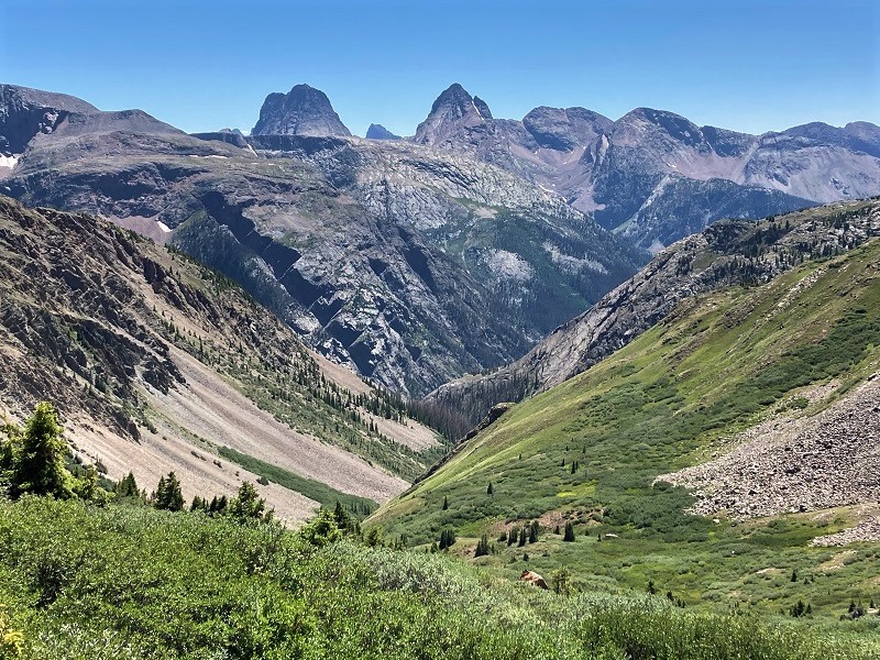
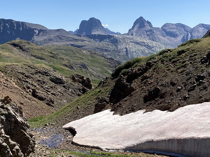
there were great views of arrow and vestal peaks from this area
We decided to continue on a loop hike around to the Continental Divide Trail and eventually back to Cunningham Gulch, and so headed on a trail uphill to the east. It was exciting hiking across this expanse of high alpine grandeur, and our gaze was repeatedly drawn back to Arrow and Vestal and other surrounding rugged peaks.
another view of arrow and vestal, with pigeon peak right between them
We gradually gained elevation on the excellent trail and after a mile and a half or so from the saddle we reached a trail junction and turned left onto the CDT.
taking a relaxing break along the trail shortly before we reached the cdt
Presently we reached the highest point on the hike, at about 12,600’, and gradually started descending and went past another lake. We met a handful of backpackers hiking the CDT, all of whom appeared very fit and well prepared.
on the trail toward another lake
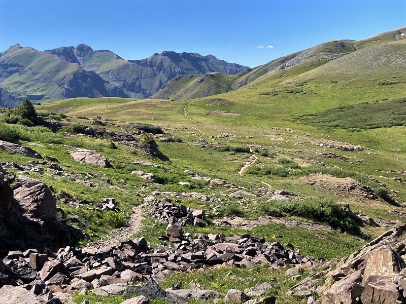
miles and miles of scenic tundra hiking
We hiked through many more wildflowers and eventually reached a spur trail that we took to the left that took us back down into Cunningham Gulch. We were above 12,000’ feet in the tundra on most of this hike, and it was exhilarating being so high for so long on this gorgeous day.
on the way back down into cunningham gulch
We eventually descended back down into the trees and rejoined the Highland Mary Trail and followed it a short distance back to the trailhead. We got back about 6 pm and rested a bit before heading to Silverton for dinner.