HOOSIER RIDGE
(13,352’)June 29, 2018
By Tim Briese
9.2 miles, 2800’ elevation gain, 8:05 roundtrip time
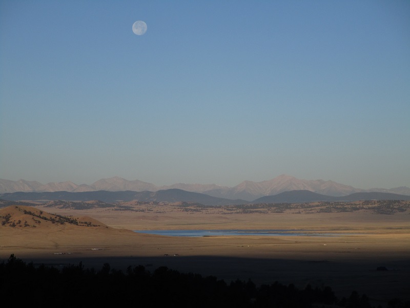
the moon over south park on the drive to the trailhead
I parked on the west side of 11,539’ Hoosier Pass and walked across Hwy. 9 with my lab Abby at 715 am and headed up an old road through the trees on the east side of the pass. It was a nice clear morning except for a little smoky haze. I met a professional photographer, Gerhard Assenmacher, who was headed up the same route to search for some rare red wildflower that is to be found on the tundra ridge east of the pass. We walked together for a ways and had a nice visit. He told me that he travels all over North America photographing flowers and wildlife, and he provided me with a link to an excellent wildflower identification website. Leaving Gerhard behind I walked on up the old road to the vicinity of some communication towers at timberline and then continued east up a long grassy ridge toward a point at 12,800’.
on the old road
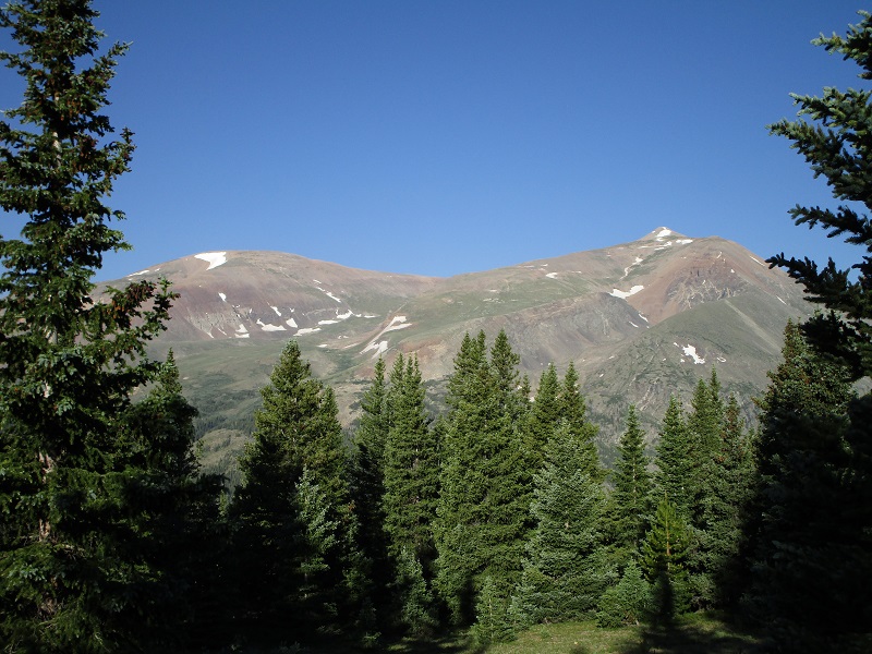
a nice view of quandary peak this morning
mt. lincoln, at the right, and mt. bross to the left
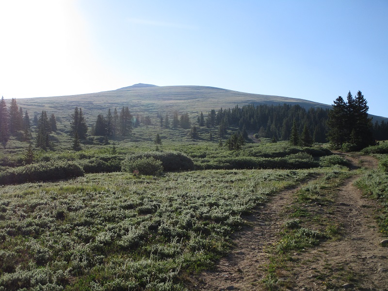
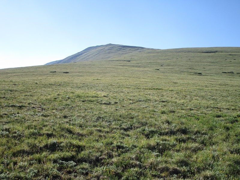
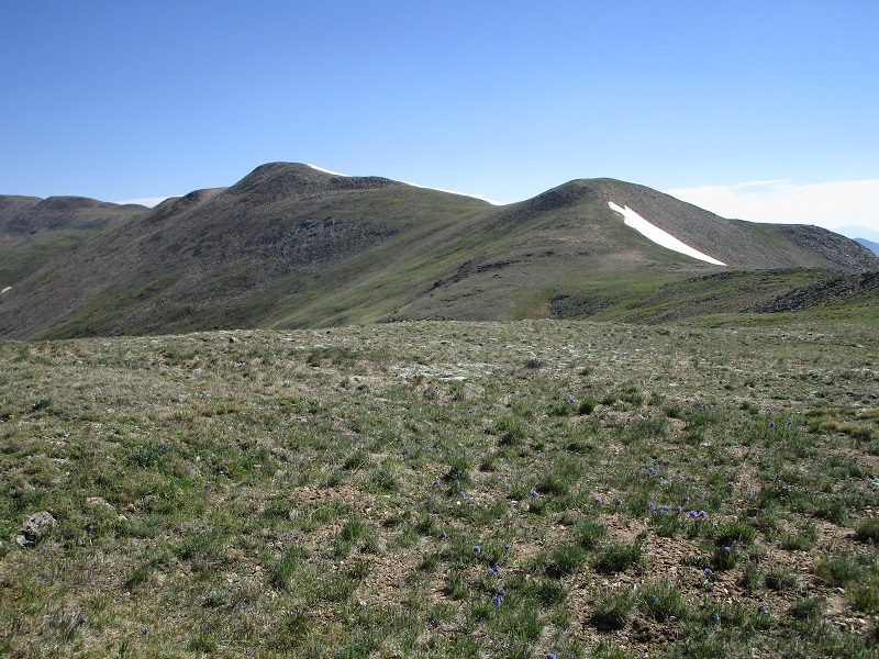
the long grassy slope up to a point at 12,800'
From the point I continued on a long curving and bumpy ridge that swung around to the northeast. I counted at least 8 ridge bumps that I went over, with elevation loss on each ranging from about 20 to 150 feet, on mostly easy grassy terrain with some talus later on. A chilly wind blew steadily out of the northwest which induced me to bundle up a bit.
the long bumpy ridge ahead
mt silverheels to the south
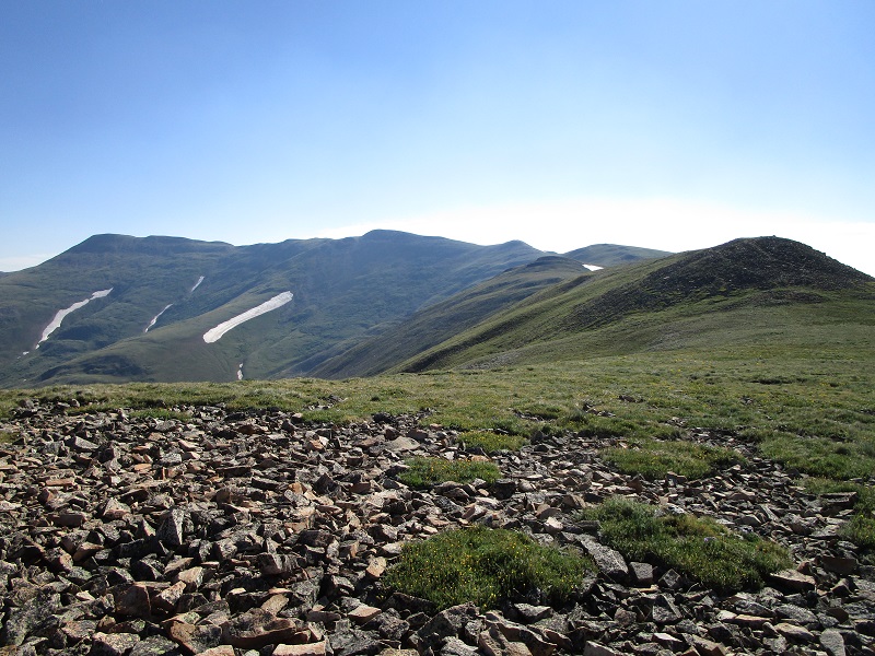
a plethora of ridge bumps
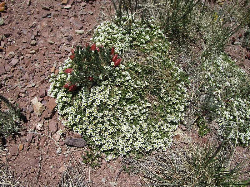
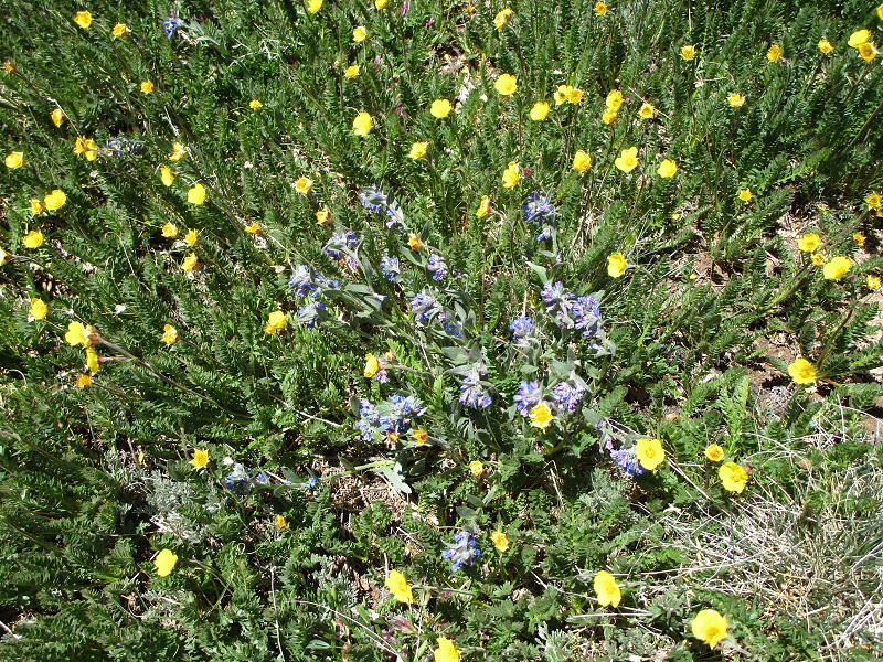
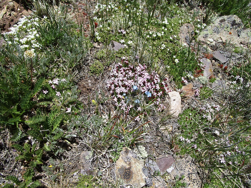
There were lots of delicately beautiful tundra flowers everywhere, and I was inspired by Gerhard to look down and pay attention to them, and to avoid trampling them as best I could.
wildflowers along the way
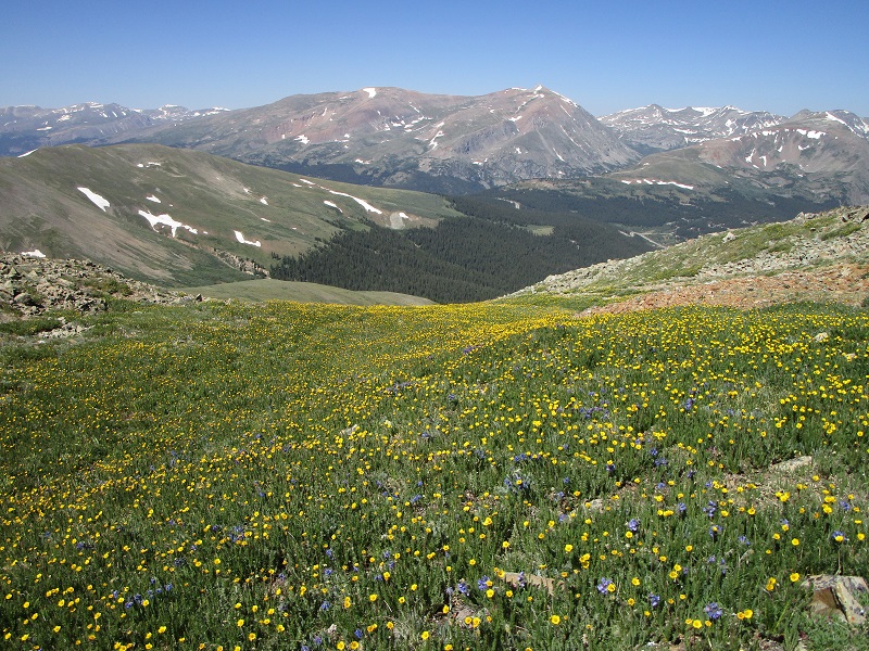
delicate beauty
I was not feeling very well today, very fatigued, and just plodded slowly along putting one foot in front of the other. I had a mysterious fatigue syndrome that ended up afflicting me for most of the summer and fall. It felt like it was all that I could do to reach the summit.
approaching the summit, in the center

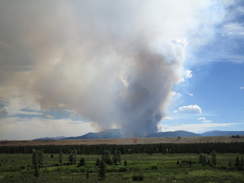
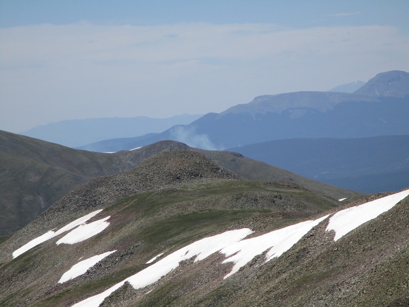
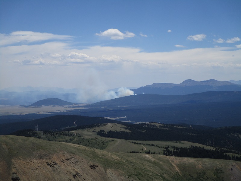
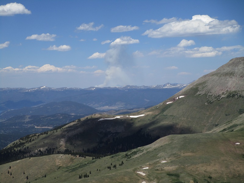
I eventually reached the top at 11 and sat down for a 30 minute break. While I was sitting there I noticed smoke rising into the sky from a new forest fire that just started that morning about 20 miles to the south between Fairplay and the Buffalo Peaks. Turning 180 degrees, I saw another smoke plume from a fire about 30 miles to the north, northeast of Dillon.
smoke from the buffalo peaks fire that just started this morning
smoke from the fire northeast of dillon
hoosier pass is just above the center of the photo
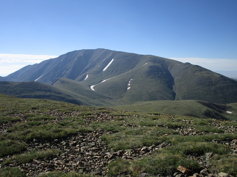
the ridge i came up is at the right, and mt. silverheels is to the left

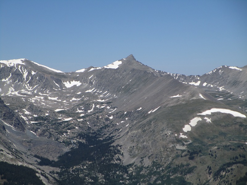
an impressive view of pacific peak
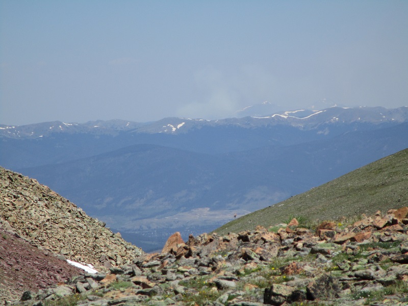
After leaving the summit I retraced my steps back down the ridge and stopped on the 12,800’ point for a while to watch the growing smoke plumes from the fires.
the buffalo peaks fire was clearly growing
so was the other fire
Then I tramped back down to the trailhead, where I arrived at 305 and headed for home.
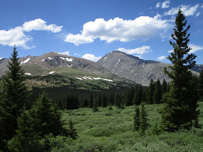
a serene view of quandary peak shortly before i got back to the trailhead
the buffalo peaks fire was quickly growing out of control