K49
(13,535’)July 23, 2017
By Tim Briese
8.3 miles, 3000’ elevation gain, 7:00 roundtrip time
Brian and I left Leadville at 645 and headed for the North Halfmoon Creek Trailhead a few miles away.
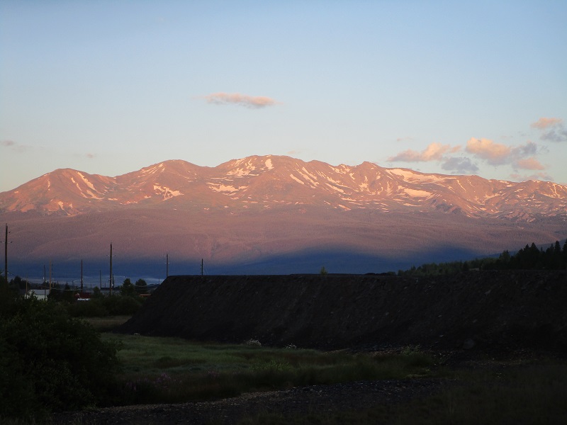
sunrise on mt. massive from leadville
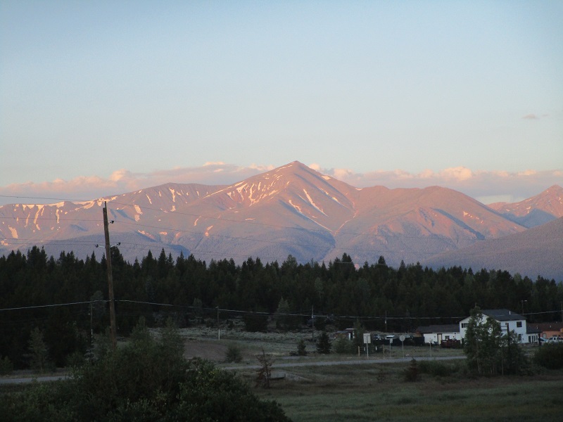
mt. elbert
We drove on FR 110 past the Mt. Elbert Trailhead, and found the area packed with vehicles and hikers everywhere. We continued on the rougher road a few more miles to our trailhead, and found a surprising number of vehicles there, too. Perhaps many of those folks were going up the newer southwest trail to Mt. Massive. I had hoped we might be able to drive across North Halfmoon Creek and continue on FR 110 a few miles closer to our peak, but the vehicle crossing was raging with deep water and I didn’t care to take a chance on it with my pickup. Maybe with a jeep. We parked at the nearby North Halfmoon Creek Trailhead parking lot, which lies at about 10,500’, and left at 750. We immediately took off our boots and forded the icy water of the creek at a wider and shallower spot just upstream from the vehicle crossing.
brian crossing the creek (on our way back). the water was cold, so it's fitting that he appears to be running in this photo.

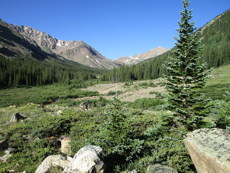
We continued up the good road on the other side of the creek. It was a nice hike up the pretty valley on this sunny morning.
looking up the halfmoon creek valley
looking back down the valley at mt. massive's south ridge
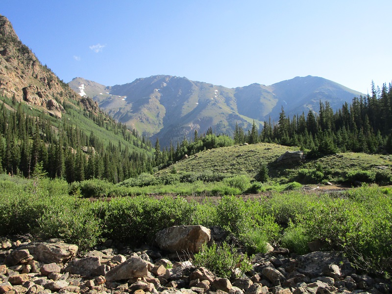
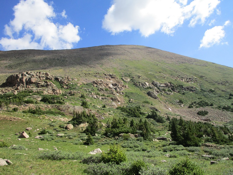
We took the road 2.6 miles to 11,500’ and then made a relatively easy bushwhack northwest through the woods up to a grassy basin at 12,100’. At this point we paused for a nice break and selected our route to the heights above.
a view of k49 from the basin. we went up the grassy slope at right center, then angled left up to the ridge.
At 1015 we embarked from the basin and took a steep grassy gully up through a rocky area. I found it to be so steep that it was a little tricky for me to stand up in a couple of spots.
we went up the grassy gully at left center, which is much steeper than it looks in this photo
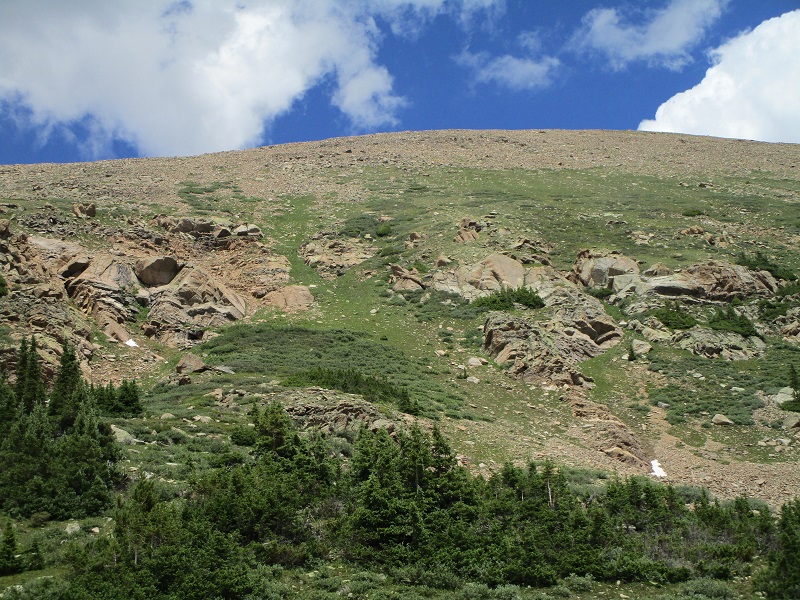
the steep grassy gully (seen on our descent)
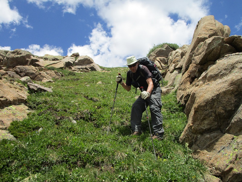
We continued on steep and somewhat grassy slopes above before angling to the left on fairly stable talus to reach the peak’s west ridge at 13,300’. From there it was a simple scamper along the ridge a quarter of a mile to the summit, which took 15 minutes.
brian coming up the ridge. deer mountain is at the right.
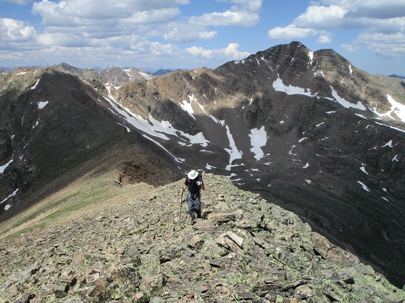
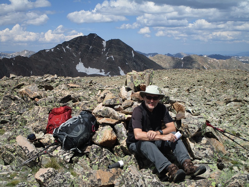
We stepped foot on top at 1135. The weather was holding nicely today, with only white puffy clouds, so we sat and enjoyed the summit for about 40 minutes.
brian on the summit
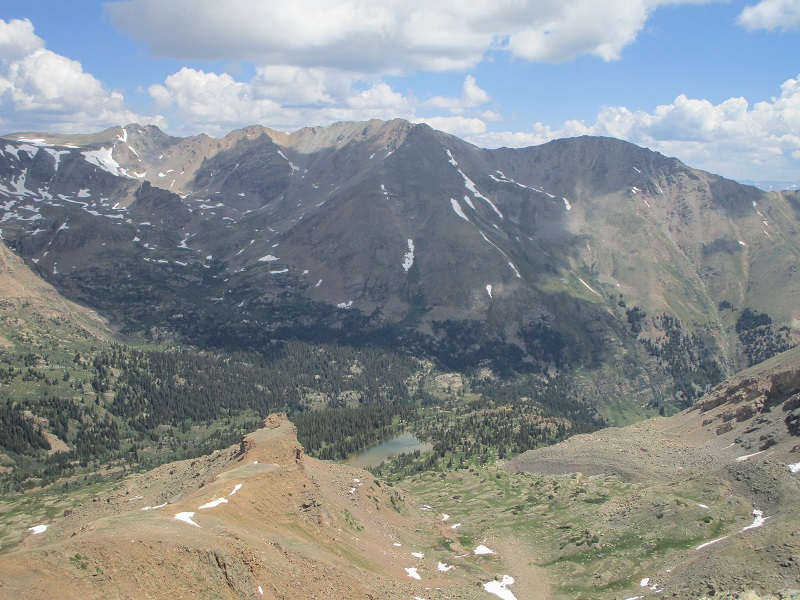
view of mt. massive to the northeast
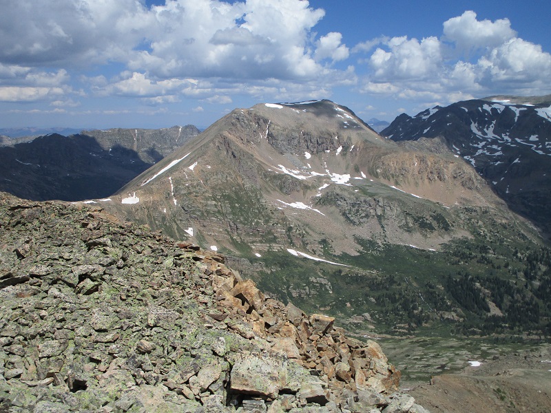
mt. oklahoma
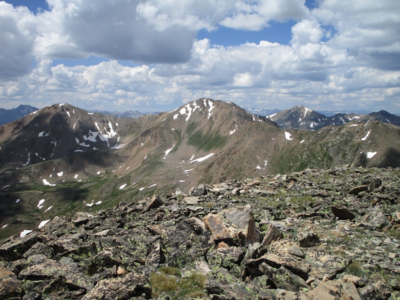
un 13736 is in the center, and mt. champion is to the left
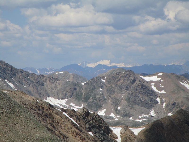
a zoom photo of snowmass mountain, which lives up to its name
At about 1215 we left the top and retraced our steps along the ridge, made the steep 1200 foot descent back down into the basin, and took the road back to the trailhead. There were a number of jeeps and ATV’s that drove up this road today to the old Champion Mine, which is apparently a popular backcountry destination in these parts. We got back to the trailhead at 3 and headed for Buena Vista.