"KENOSHA PEAK"
(12,100’)June 15, 2017
By Tim Briese
9.2 miles, 2400’ elevation gain, 6:40 roundtrip time
Kenosha Peak was my last 12er in the Tarryall/Kenosha Mts. area south of Highway 285. Most of these peaks are in the Lost Creek Wilderness but a few of them are not.
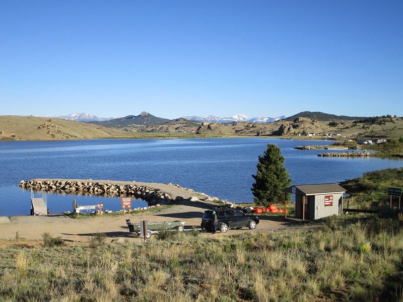
I left home on a beautiful day and drove up the Tarryall Road past the Tarryall Reservoir.
a beautiful morning at the tarryall reservoir
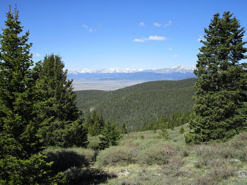
I took the Rock Creek Hills Road across to the Lost Park Road and then two miles up the high clearance Rock Creek Road to the South Ben Tyler Trailhead. I saw no one at the trailhead or on the trail all day. At 755 I headed up the excellent Ben Tyler Trail along singing Rock Creek with my lab Abby. It was a little rocky at first but the trail got smoother as I progressed. I followed the nice trail about three and a half miles up to timberline.
there were nice views when i got to timberline
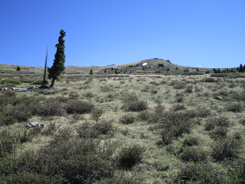
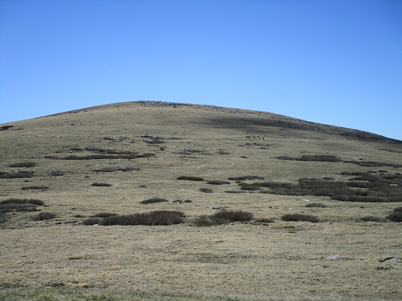
I left the trail at about 11,400 feet and headed right, to the east, up toward UN 11882 on easy terrain.
the slope up to un 11882, just after i left the trail. kenosha peak is to the right, out of sight from here.
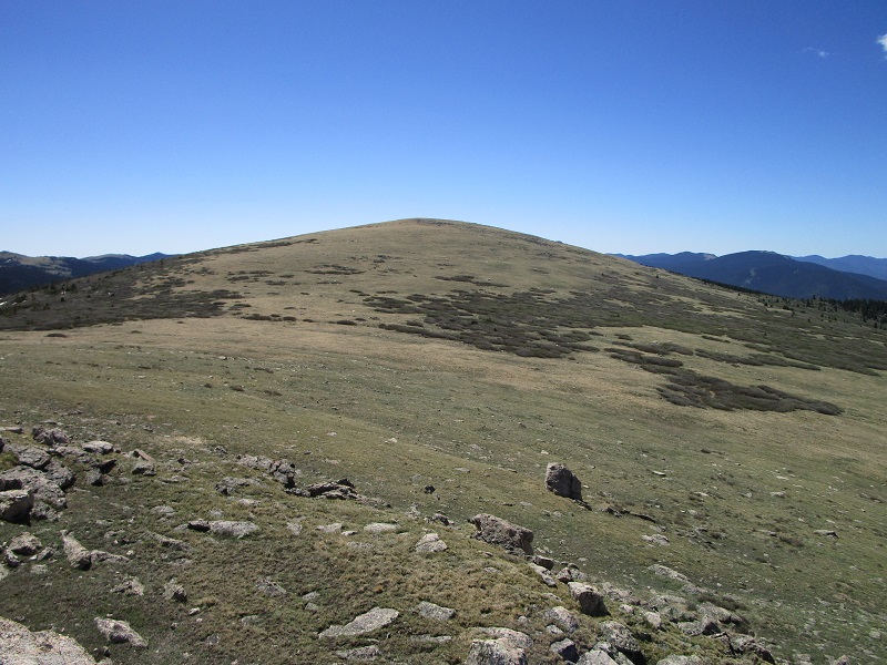
Kenosha Peak was out of sight at this point, about a half mile south of UN 11882. It would have been possible to take a more direct line from the trail up to Kenosha, but there is a vast sea of willows to deal with that way, which I skirted around the north side. Upon reaching UN 11882 I was comfortably past the willows and turned southeast and made the easy stroll to Kenosha.
kenosha peak
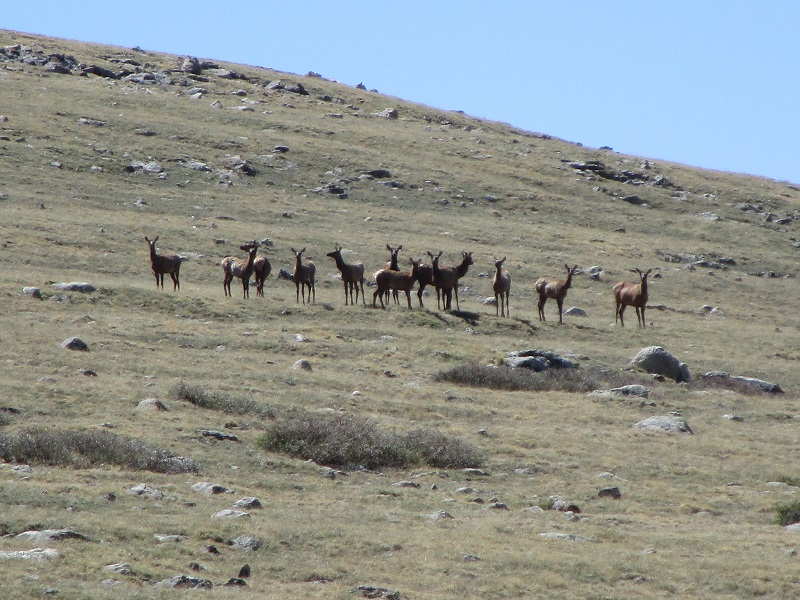
There was a herd of elk grazing on the slopes so I leashed up Abby so she did not chase them. As I approached they trotted over the ridge to the south out of sight.
the slope up to kenosha, with the elk herd in the distance toward the right
closer to the elk (i didn't get as close as this appears because this is a zoom photo)
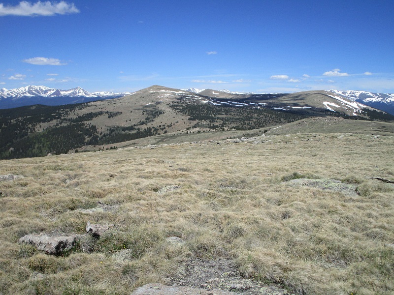
I reached the broad gentle summit at 1050 and spent an hour and twenty minutes relaxing and enjoying the experience of this summit. There were fine views on this beautiful clear day.
the view of peak x and points beyond to the southeast, where i had been the week before
the twin cone peaks to the northwest, in the foreground
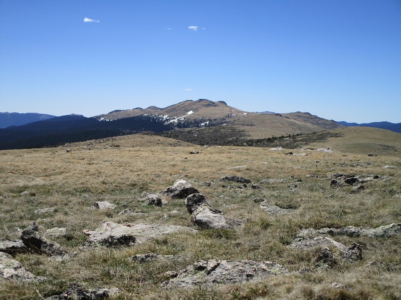
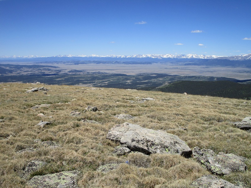
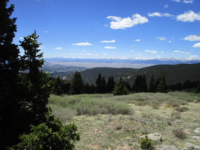
the sawatch and mosquito ranges to the west
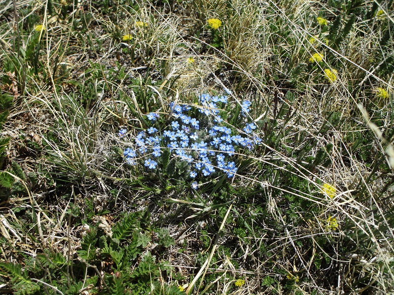
early season wildflowers on the summit
At 1210 I left and headed down. I eyed the willows and wondered if there were reasonable alleys down through them but decided to keep it simple and retraced my steps back to the northwest almost to UN 11882 and then turned west and hiked back down to the trail.
the views were sublime on this serene day
I rapidly tramped back down the trail in the afternoon warmth and arrived at the trailhead at 235. On the drive home I noted a lot of excellent dispersed campsites along the Rock Creek Hills Road, including one incredible site on the west side of the road with a spectacular overlook view of the South Park and peaks beyond to the west.