KNIGHTS PEAK (10,489’)
MCKINLEY PEAK (10,415’)
SAN LUIS PEAK (10,437’)
August 23, 2025
By Tim Briese
3.1 miles, 1400’ elevation gain, 4:40 roundtrip time
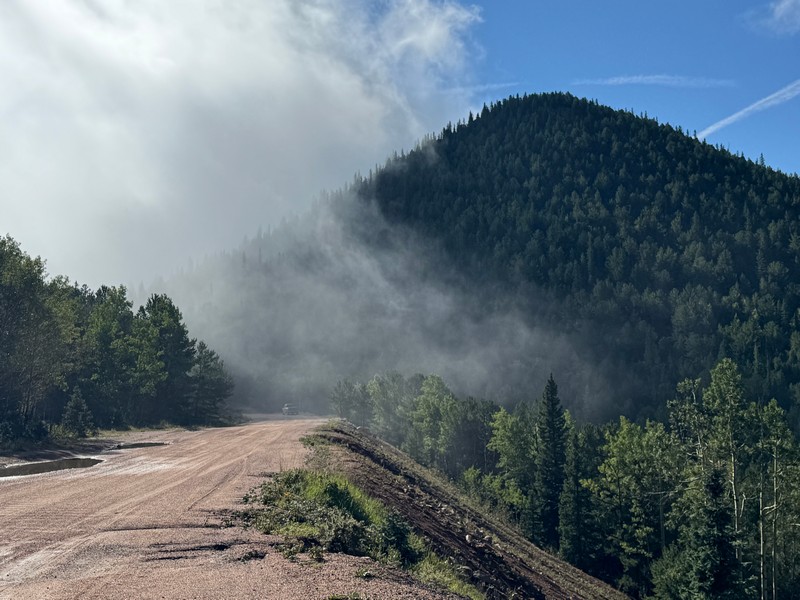
Brian and I drove east from Cripple Creek on the scenic Gold Camp Road for several miles and parked off the road just west of Knights Peak. The mountain was partially shrouded in fog, which made for a picturesque sight.
a view of knights peak above the gold camp road
We walked a short distance on the road then began a steep bushwhack up toward the summit. The slope held plenty of rocks and deadfall, as did the rest of our climbing route today, but we managed to pick a reasonable route up through the obstacles, weaving back and forth. The boulders at the summit had an interesting summit register bolted to a rock.

The peak was apparently named after the Saturday Knights, a longtime men’s hiking club from Colorado Springs, who often came up here.
a view east to mckinley peak, our next objective
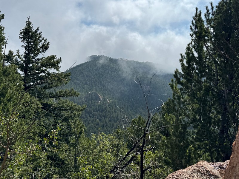
We descended east down a steep slope littered with deadfall to the Knights/McKinley saddle and then made the climb up through more rocks and deadfall to the boulder-laden summit of McKinley.
brian on the summit of mckinley

We continued down another rough slope to the McKinley/San Luis saddle.
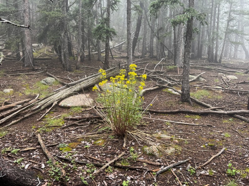
beauty can flourish anywhere
On the climb up to San Luis we encountered an unexpected cliff wall that we managed to scramble up through around its left end. The summit of San Luis was the most interesting of all, with piles of huge boulders. After some exploration we decided that the boulders to the north held the highest point and we did some class 3 scrambling to get up there.
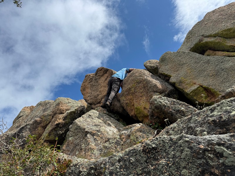
the highpoint of san luis peak

We made a direct contouring descent to the north back down to the road, with of course more deadfall, rocks, and slippery moss to contend with on the steep slope.
descending from san luis

Once we regained the road we hiked west back to our vehicles and I decided to call it a day and headed for home.