LA FEVRE RIDGE (10,172)
WALTON PEAK (10,559)
UN 9731
July 20, 2024
By Tim Briese
La Fevre Ridge: 1.8 miles, 1000 elevation gain, 2:00 roundtrip time
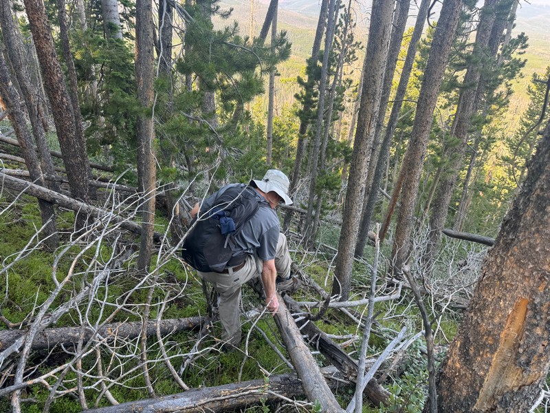
Just south of the village of Rand, Brian and I turned off Highway 125 and followed forest roads east and south to the western base of La Fevre Ridge and embarked on the climb. It turned out to be a steep and nasty climb through endless deadfall to reach the summit of this lightly climbed but ranked peak.
here we go through all the deadfall. the summit is faintly visible ahead through the trees.
brian on the summit
After a few minutes on top we headed down and endured the bushwhacking nightmare again.
on the way down (photo by brian schultz)

We considered climbing some other peaks in this area but found the access roads too rough and time-consuming for our taste so we headed west to climb some other peaks off of US 40 near Rabbit Ears Pass.
Walton Peak: 2.9 miles, 700 elevation gain, 2:00 roundtrip time
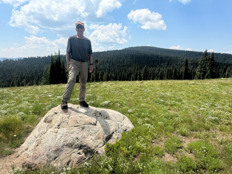
From US 40 near Rabbit Ears Pass we drove south on excellent FR 302 to the summit of unranked North Walton Peak (10,142) and jumped out of our vehicles for a photo of what appeared to be the highpoint.
standing on the apparent highpoint of north walton peak (photo by brian schultz)

There were numerous dispersed campers along this road. We drove back down the road a short distance to park and headed south toward Walton Peak.
walton peak is visible in the distance beyond this flowery meadow
After hiking across a drainage we found a trail going uphill under a powerline and then bushwhacked through the woods toward an old road that took us all the way to the summit. We paused part way up under a tree as a thundershower moved through.
a view from part way up walton peak
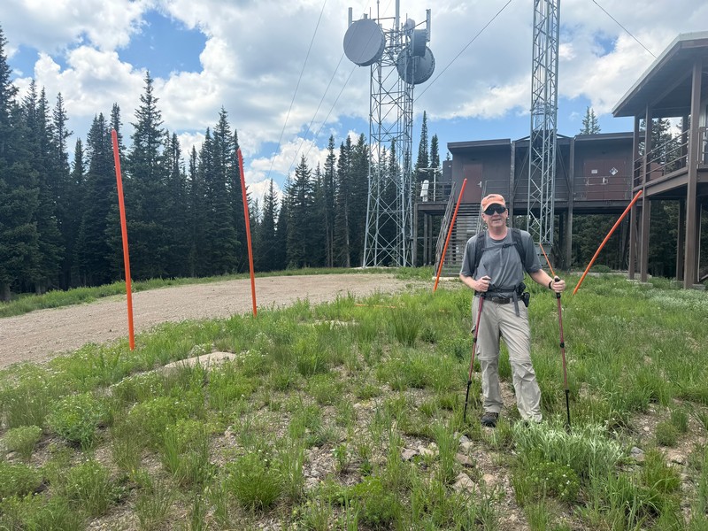
There was an extensive array of communications equipment on top.
standing on the apparent highpoint of walton peak (photo by brian schultz)

Then we mostly retraced our steps down but found a little better bushwhack route through the trees.
Unnamed 9731: 1.6 miles, 400 elevation gain, 1:00 roundtrip time
Continuing west on US 40 a few miles we found an old forest road, FR 296, on the north side of the highway and followed it a short distance until it became too rough. We parked and walked north on it for a distance then left the road and bushwhacked northwest through open flowery meadows and an intermittent trail toward the summit. Brians GPS was invaluable for finding the way to this one.
the broad summit of un 9731
We looked around for the highpoint for a few minutes and then strolled back down in the pleasant afternoon sunshine.