FLAT TOPS WILDERNESS SCENIC LOOP BACKPACK
LOST LAKES PEAK WEST
(11,928’)LOST LAKES PEAK EAST
(11,935’)Sept. 20-21, 2019
By Tim Briese
Day 1: 11.3 miles, 2000’ elevation gain, 7:15 time
Day 2: 11.5 miles, 2400’ elevation gain, 7:55 time
I had read glowing reports about a scenic loop hike in the Flat Tops Wilderness that piqued my interest and it claimed a spot high on my wish list of adventures to do. My son-in-law Rod was all in too. When done in a counterclockwise direction as we did it, the route goes from a trailhead at Stillwater Reservoir up over a high saddle and down through the lake-studded basins of the Lost Lakes below the Chinese Wall for many miles, then climbs up onto the Flat Tops and returns many miles across grassy tundra to a grand finale of a crossing of the infamous Devils Causeway before returning to the trailhead. The route is about 23 miles long and could be hiked in a very long day by sturdy hikers, but we chose to do it with a one night backpack.
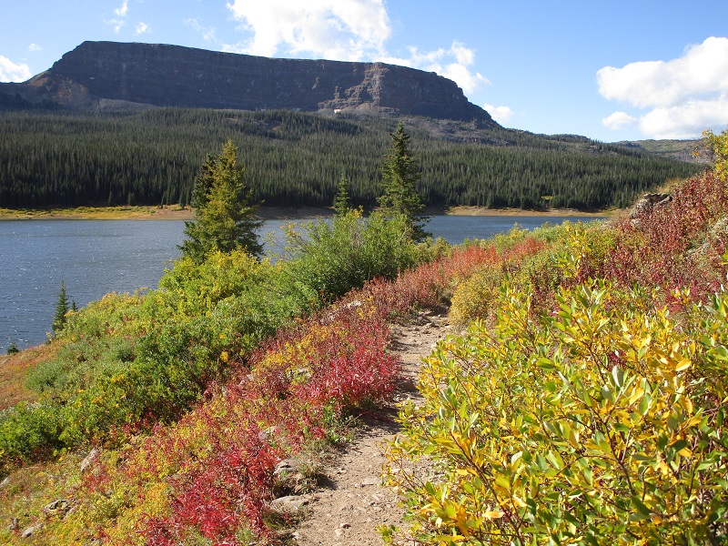
We drove to the 10,300’ trailhead on a September morning and hit the trail at about 950 am. It was windy and cool this morning and there were some nice fall colors in the area. We followed the trail along the north shore of Stillwater Reservoir.
nice colors along the trail
After about 0.7 miles we turned right onto the East Fork Trail. This trail climbed steadily up to a saddle at about 11,700’.
the trail climbed up to the saddle ahead
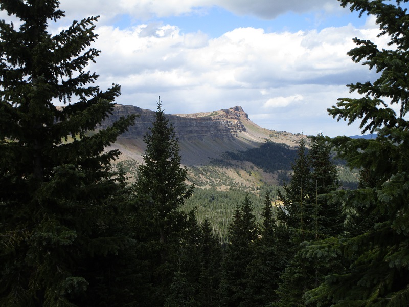
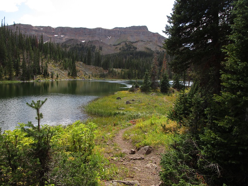
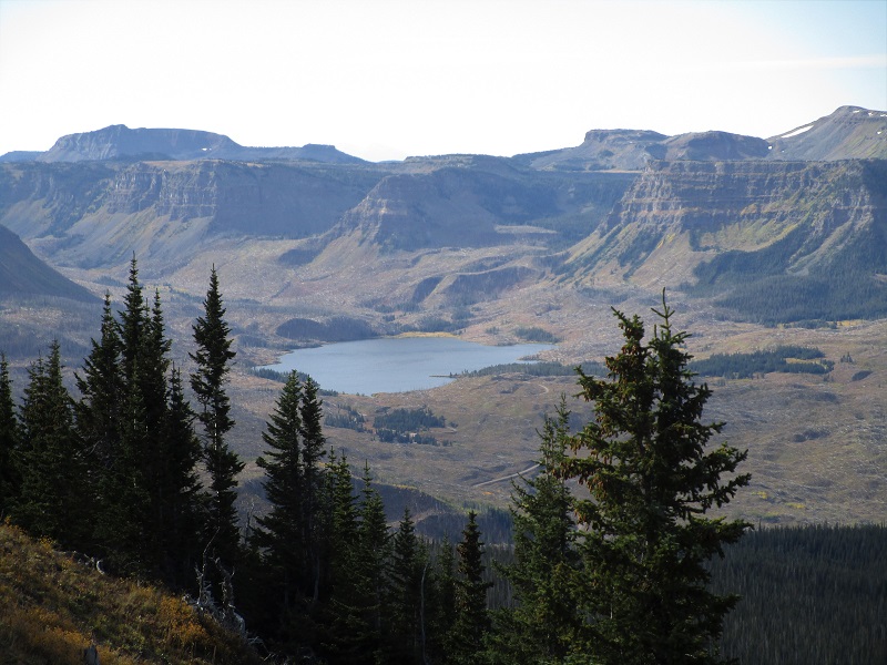
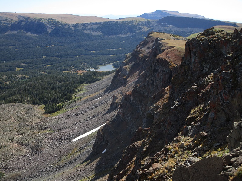
There was another junction at the saddle and several other hikers were going left up the ridge to the famous Devils Causeway, which is a knife-like ridge about 100 feet long and as narrow as about three feet with cliffs dropping away on both sides. We continued straight on the East Fork Trail as it switchbacked down into a vast forested basin studded with gleaming lakes that stretched away as far as the eye could see.
we hiked down into the forested basin at the right. the chinese wall is the cliff band at the left.
rod along the trail
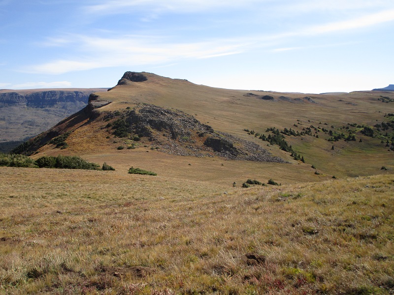
east lost lakes peak, which is the highest point along the chinese wall
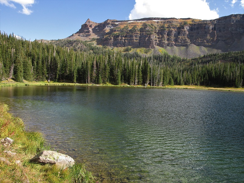
We spent the rest of the afternoon hiking six or seven miles through this wilderness wonderland. The Chinese Wall, which is basically a cliff band which runs for many miles, towered above to the left. Low ground cover and bushes were adorned with fall colors. The wind blew through the woods and we occasionally heard elk bugling. We saw a multitude of lakes and ponds, perhaps fifteen to twenty of them all told, which reminded me of Minnesota or Canada.
one of the many lakes we saw, with the chinese wall above
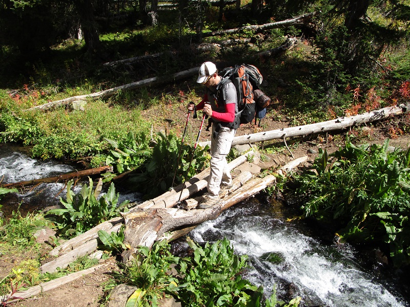
crossing a stream
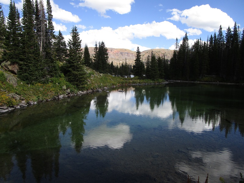
another small lake
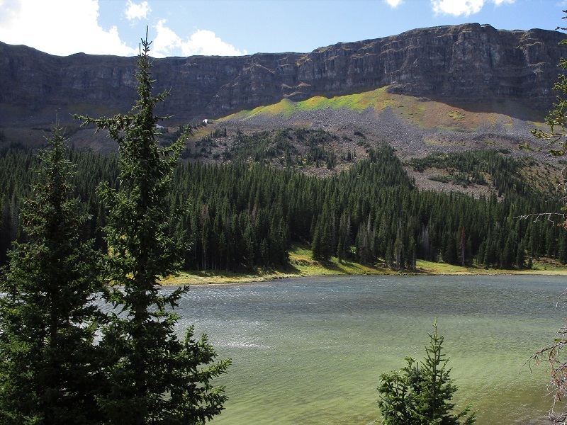
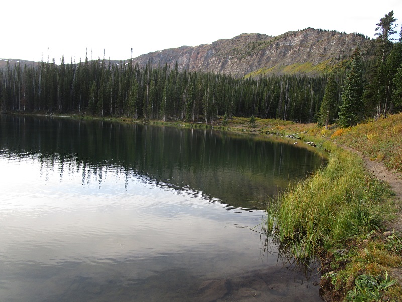
east lost lake
east lost lake peak is at the upper left
Around 5 pm we arrived at our destination, West Lost Lake, and found a splendid campsite along its southwest shore with a nice view of the lake. Two young couples were camped some distance away in the woods, the only other hikers we saw on this backpack other than those back near the Causeway. One couple was from Denver and the other two were their friends from Maryland. It was windy and chilly at camp with even a few snow flurries later so we got a nice fire going to warm ourselves. My right knee had become quite painful during the afternoon and it was nice to rest it.
our campsite at west lost lake
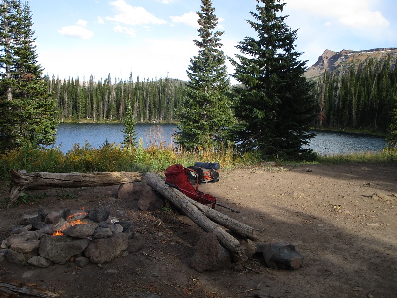
it was nice to have plenty of firewood available from the surrounding woods on this chilly evening
sunset on east lost lakes peak

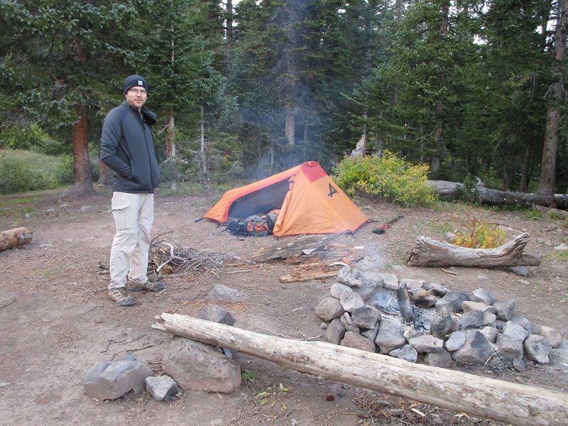
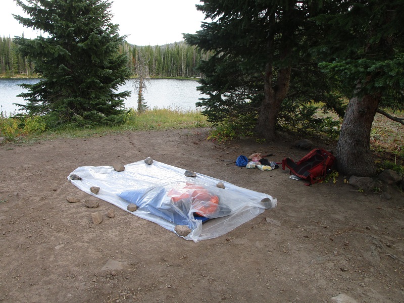
In the interest of packing light on this 23 mile hike I was experimenting with a new type of shelter. Instead of carrying my tent along I had a 16 oz. plastic dropcloth sheet from Home Depot (that cost me $3) which I laid out on the ground and folded over and secured with rocks. My gear review? Mixed - it was fine this time but had its limitations. I wouldn’t suggest it in rainy conditions or if mosquitoes were abundant.
getting my lightweight shelter ready for the night
The sky cleared and the temperature plunged. The forecast called for a low of 30 degrees but the next morning we awoke to a chilly 20! Obviously another fire was in order. Rod’s Life Straw was frozen solid.
early light on the lake
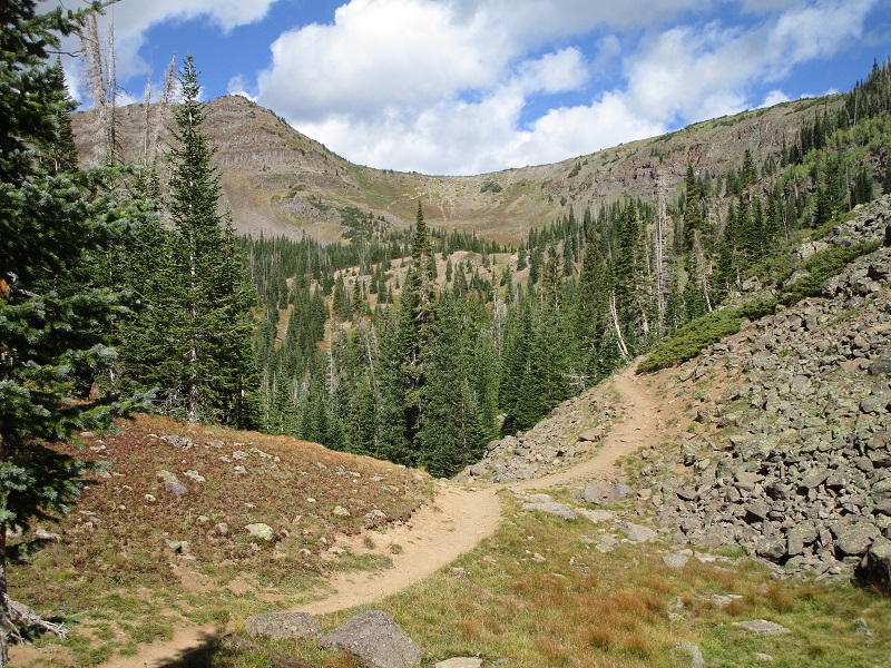
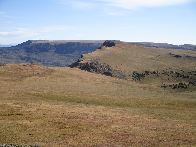
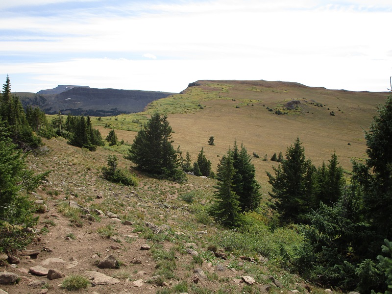
We packed up and headed up the trail as it climbed steadily up to the Chinese Wall Trail, which ran southeastward atop the wall about six miles across the tundra of the Flat Tops.
the trail climbed up this ridge to reach the flats of the open tundra ahead
The views up here were extensive to say the least.
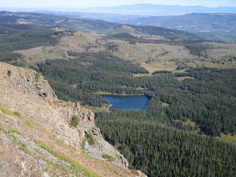
a nice view of west lost lake where we camped
view to the south of trappers lake, the second largest natural lake in colorado
our route curves around to the right on this tundra
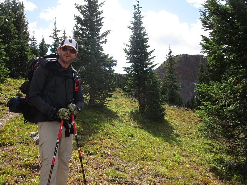
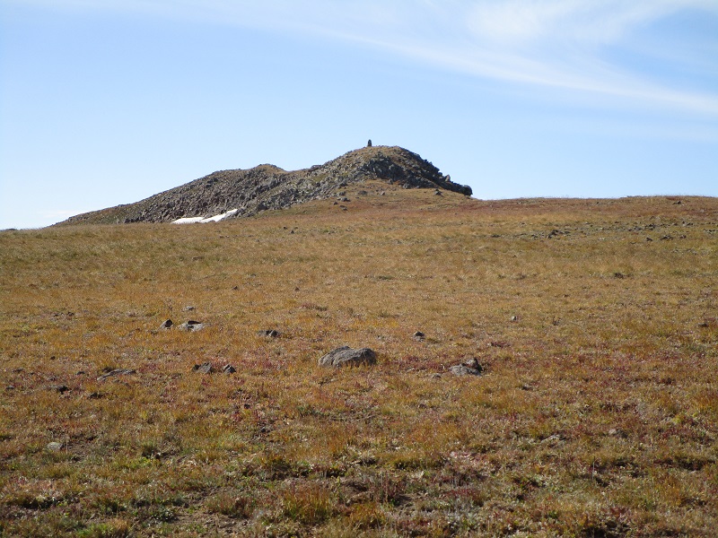
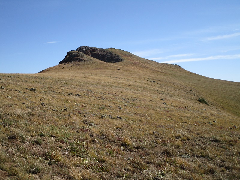
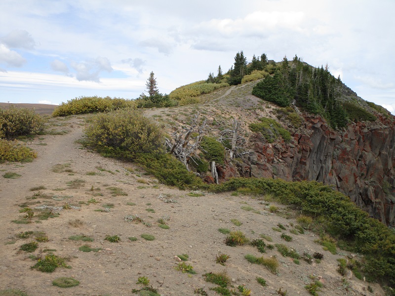
Along the way we made a short digression south about 0.4 miles to West Lost Lakes Peak, with only a couple of hundred feet of elevation gain from the trail.
approaching west lost lakes peak
on the summit
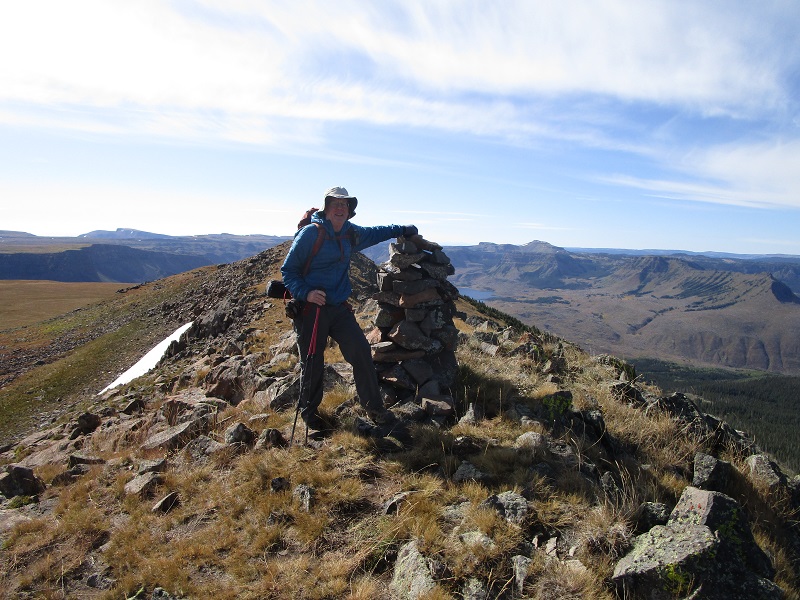
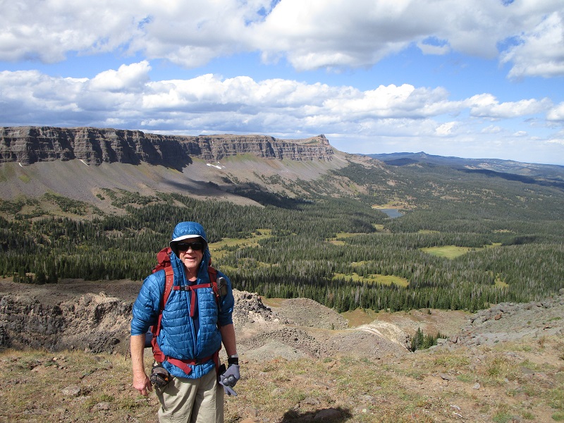
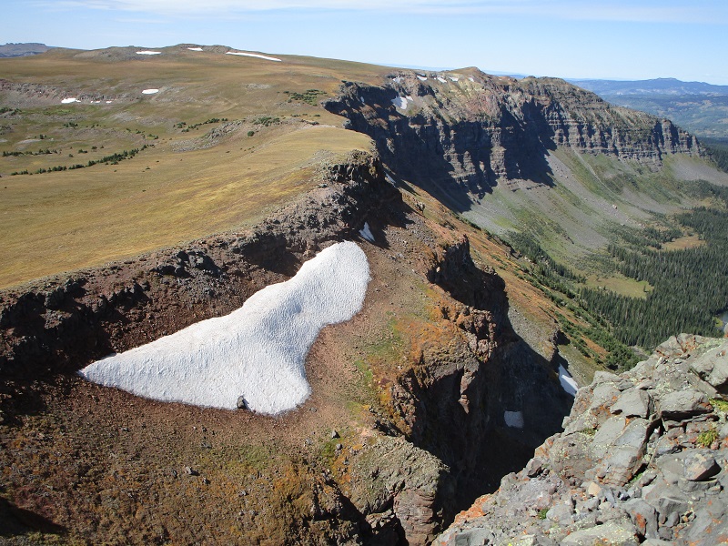
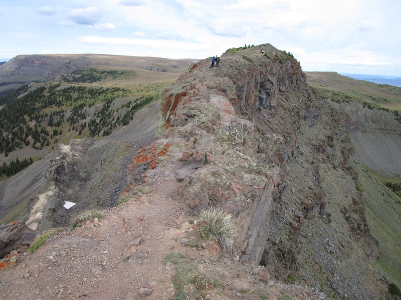
A short time later we crossed a drainage and climbed up a grassy slope with about 300 feet of elevation gain to the summit of East Lost Lakes Peak, which was a dramatic vantage point on the crest of the Chinese Wall.
we crossed this drainage and went up the slope at the left to east lost lakes peak
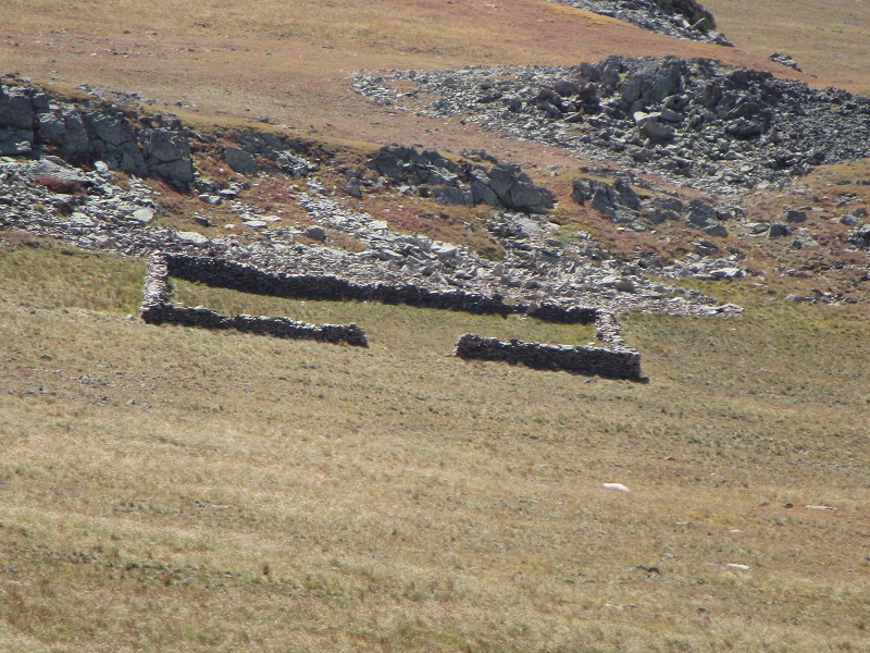
we saw below us this interesting stockade for sheep built out of stones
on the grassy slope approaching the peak
The wind was ferociously howling out of the southwest as we stepped atop the peak and I asked Rod to secure my trekking poles so they wouldn’t blow over the edge of the cliff while I took a couple of photos.
a view from the summit back to the west from where we had come. west lost lakes peak is the slight hump at top left center.
a view to the east along the chinese wall
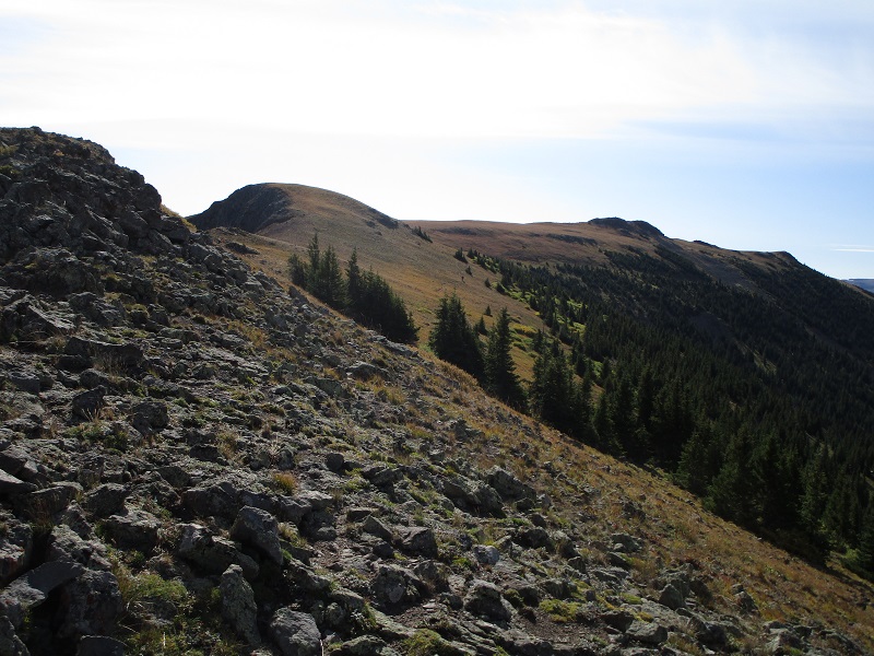
The trail across the tundra often faded out and disappeared or became confused with multiple sheep trails but it was not hard to just keep a bearing southeastward paralleling the edge of the Wall. The two young couples we had seen camping were also hiking this route and we leapfrogged them a couple of times along the way. My knee continued to hurt considerably today, perhaps from inflammation of a tweaked tendon.
continuing on our route
the tundra of the flat tops goes for miles and miles

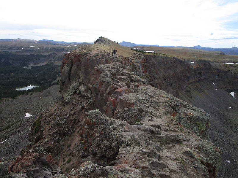
We eventually reached the Devils Causeway Trail and turned left onto it. We started to see quite a few other hikers now, as the Causeway is apparently a big attraction that is on the bucket list of many, due to its power to inspire either thrill or terror.
on the trail shortly before we reached the causeway
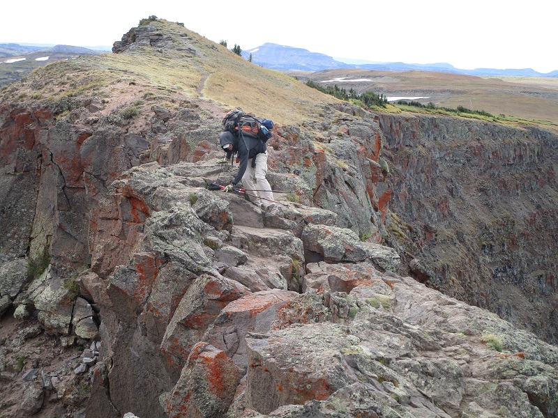
Upon reaching the Causeway we took turns carefully scooting across, especially so with the weight of our backpacks, walking in a crouching position in order to maintain balance with our hands on the rocks.
a view from the west end of the causeway before we crossed
looking back at rod as he is about to come across the causeway
rod starting to come across
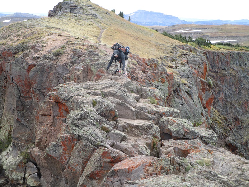
easy does it
We saw one couple who had hiked up here just to see the Causeway, not venturing to cross it, while another couple scampered across it with their dog as if it were a walk in the park. We hiked down a steep ridge from the Causeway back to the East Fork Trail and followed it the final few tiring miles back to the trailhead. This hike was certainly a long haul but a great adventure! We tramped back to the car at about 4 pm and headed for home.