SILVER PEAK
(13,513’)MT. MARCY
(13,490’)September 19, 2012
By Tim Briese
14.3 miles, 4900’ elevation gain, 10:25 roundtrip time
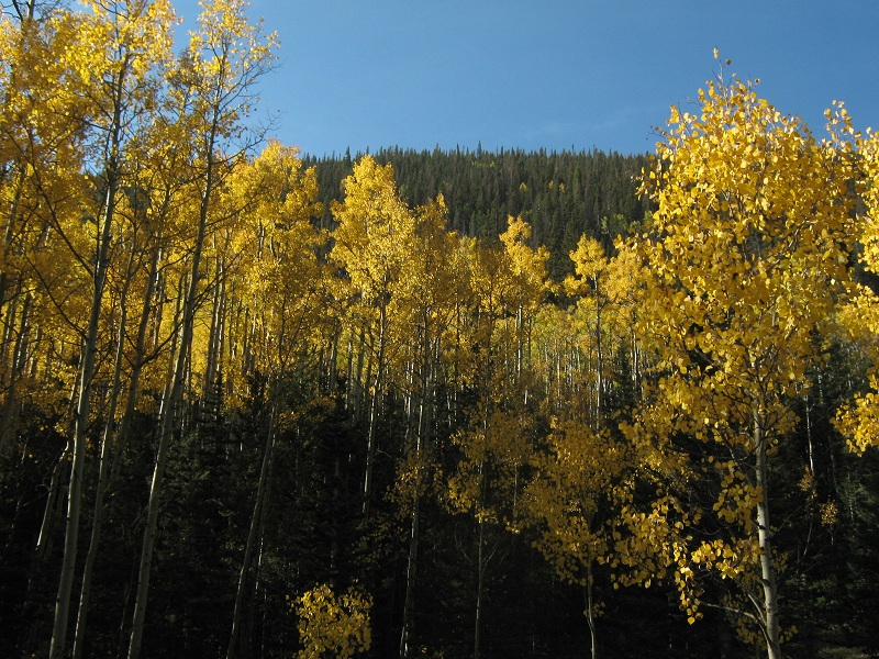
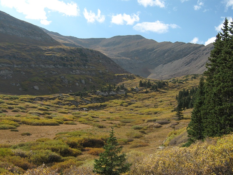
I drove to the Gibson Creek Trailhead outside of Westcliffe with my lab Abby on a beautiful September day and hit the trail at 8:05 a.m. I hiked north on the Rainbow Trail about six tenths of a mile to a junction and went left on the Swift Creek Trail which would take me up to the Lakes of the Clouds. A sign at that junction said it was 4.75 miles to the Lakes of the Clouds but my GPS measured the distance up to the lower lake to be only about 3.75 miles. I quickly clipped up the rough and rocky trail, so typical of trails in the Sangre de Cristos, and enjoyed some nice yellow fall aspen leaves along the way.
an aspen grove along the trail
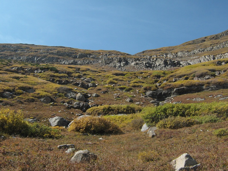
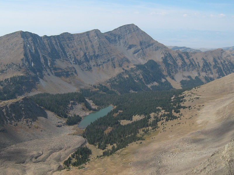
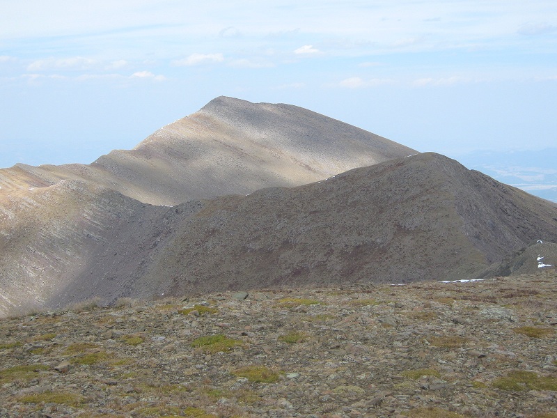
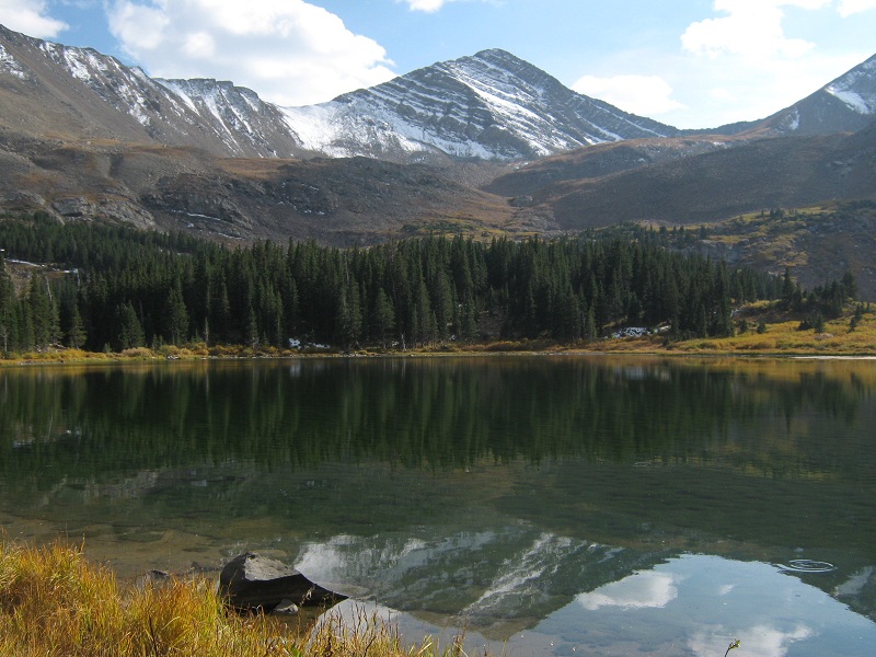
I met five backpackers just leaving the first lake as I arrived there just after 10:30. I followed the serpentine trail as it climbed up past the lower lake and circled around the second one. There was a nice view of Silver Peak from here that afforded me a preview of my route up its east slopes.
silver peak, above the second lakes of the clouds. i went up the slope just to the right of center.
a view of cloud peak to the south

Just before I reached the third lake I left the trail and headed northwest up along the right side of a willow-choked drainage, finding a faint trail at the edge of the woods that bordered the drainage. After going a couple of hundred yards I turned left and crossed the drainage where the willows were fewer and began to head up the slope on the other side.
i crossed the willows at the far right and headed up the slope at the far left
a view of spread eagle peak to the southeast
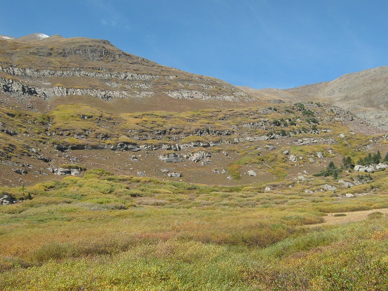
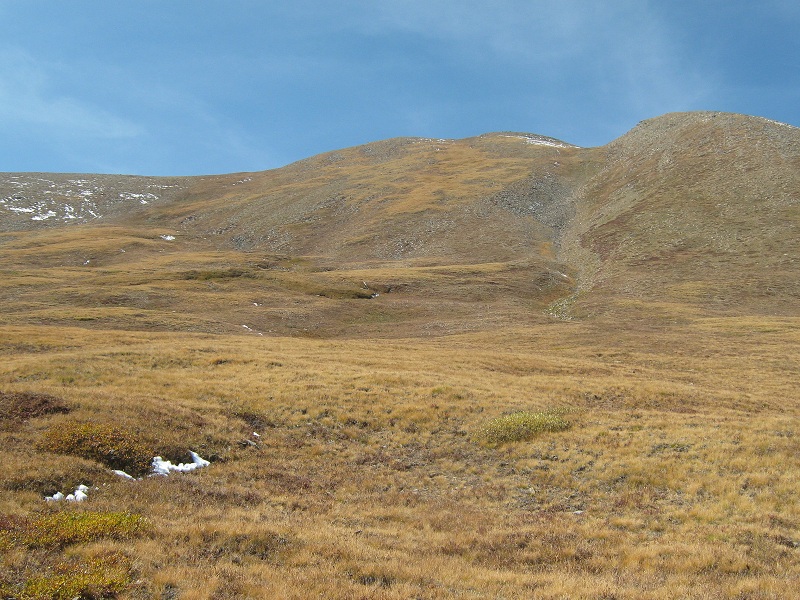
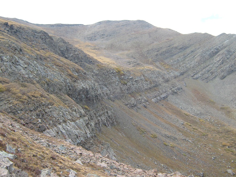
I wondered how I would navigate through the cliff bands above, but they looked less ominous the higher I climbed, and to my pleasant surprise I found a faint climbers trail which took me neatly up through the cliffs. Remarkably I was able to simply walk up on steep grass most of the way up through the cliff bands.
on my way up the slopes toward the cliff bands
Once above the cliffs all that remained was a pleasant grassy climb all the way to the summit.
the slopes to the summit
I arrived on top at 12:55 and took a break to enjoy the surrounding views.
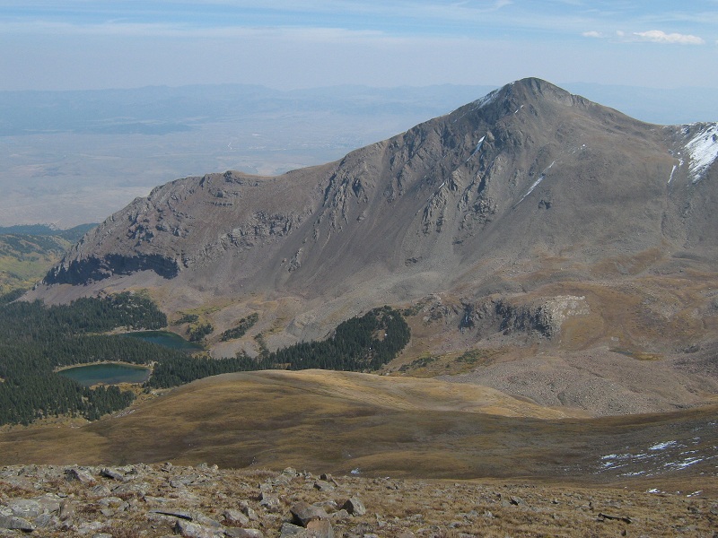
lakes of the clouds and spread eagle peak
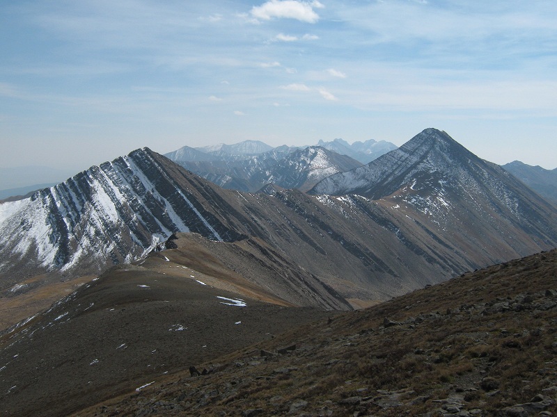
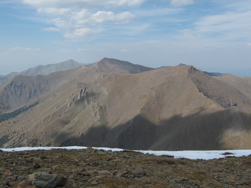
cloud peak, at the left, and rito alto peak, at the right, and other sangre peaks beyond
view to the northwest of mt. owen and cotton lake
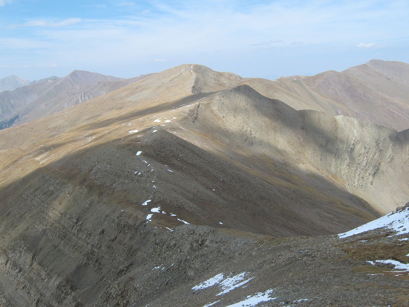
There was an excellent view of the route to Mt. Marcy, my next objective, which lay about 1.3 miles to the north.
a preview of my route to mt. marcy, at the top center
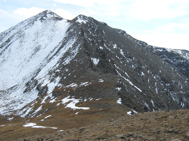
About 20 climbers had signed a summit register so far this year. After 20 minutes I left the summit and headed down the ridge to the Silver/Marcy saddle. In spite of some downsloping slabs and some snow lying on the north side of the peak the descent to the saddle went smoothly.
looking back up at the ridge i came down from silver peak. the summit is the point at the right.
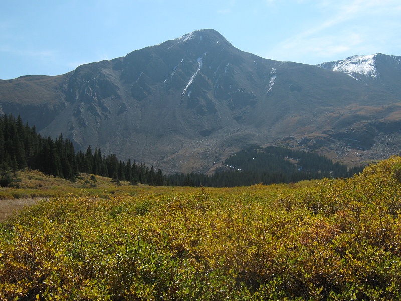
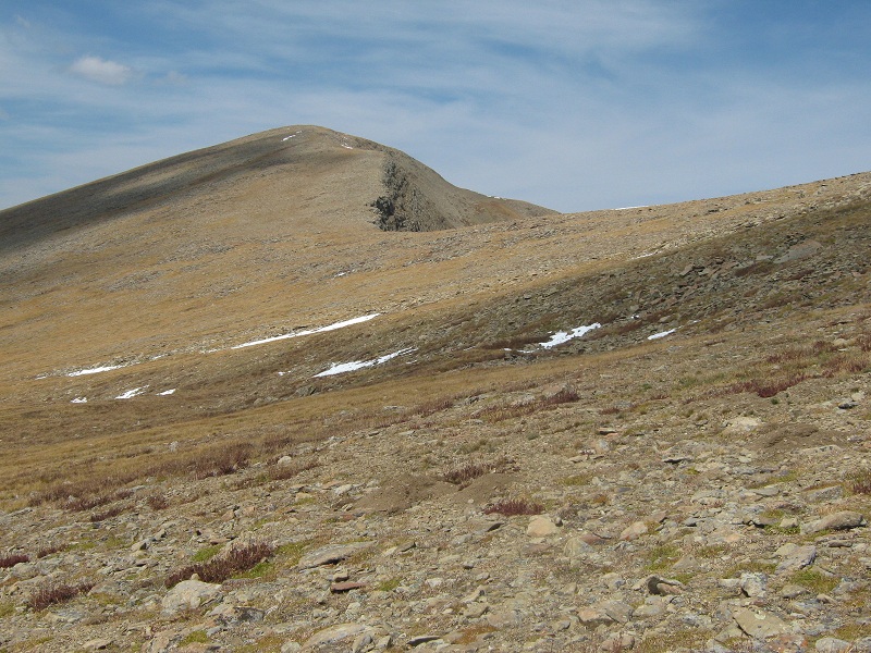
From there it was a gentle grassy stroll to Marcy.
mt. marcy
It took me an hour to go from one peak to the other, and I arrived on Marcy at 2:15. It was tempting to continue on to Gibbs Peak and return via the Texas Creek drainage but that would have added several miles to my day and put me back at the trailhead well after dark, so I remained content to save that peak for another day.
gibbs peak
view to the north of de anza peak, electric peak, and cottonwood peak, right to left
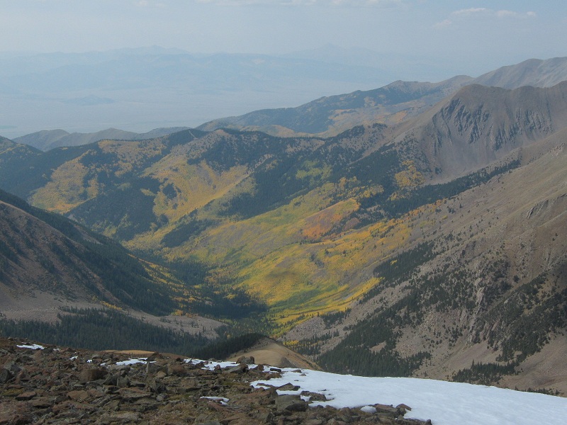
view of aspen covered slopes in the cotton creek valley
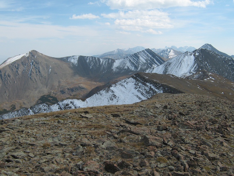
looking back south at spread eagle peak, cloud peak, silver peak, and rito alto peak, left to right
After 15 minutes on the summit I headed back south along the grassy ridge and began the descent into the Lakes of the Clouds drainage. After dropping several hundred feet I came to those pesky cliff bands again and had to contour a ways to the south to find a way down. Descent options were quite limited and the best way down that I saw was directly below the actual Silver/Marcy saddle.
i came down the slope to the cliff bands in the center, was stymied by the cliffs, then reclimbed a little and traversed over here to get down
Once below the cliffs I contoured southeast above the willows on an intermittent faint climbers trail and eventually rejoined my ascent route.
scenic willows in the afternoon sunlight
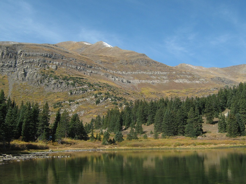
I got back to the middle lake at 4:15 and took a nice break to rest and filter water.
cloud peak
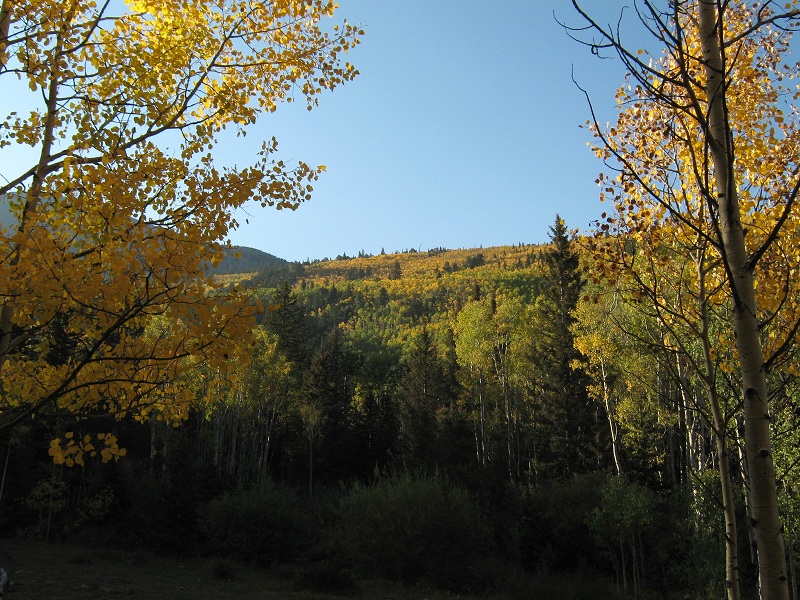
Then I continued the long grind down the trail. The lowering sun made the aspens along the way glow brilliantly.
scenic aspens
I tramped back to the trailhead at 6:30 and headed for home, completing another fine day spent in the Sangres!