MINNESOTA MOUNTAIN CLIMBING
Sept. 13-16, 2013
By Tim Briese
I flew to Minneapolis on Thursday, Sept. 12th to join my good friend Brian Schultz for some hiking and climbing adventures in the Boundary Waters Canoe Area of northern Minnesota. We had climbed together in Colorado for years and now it was time to see what his home state had to offer.
Minnesota has fifty-some ranked "peaks", or hills, perhaps, depending on your perspective, that rise at least 300 feet above the lowpoints of any ridges connecting to adjacent points, which is nowadays the commonly accepted definition of official peaks. These Minnesota peaks range in difficulty from easy to very challenging. Brian has hiked to the top of all but a handful of these, to maybe more of them than anybody else on the planet! Part of my objective on this trip was to accompany him on a few of them that he had remaining that are so remote that they are best not done alone.
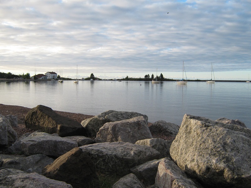
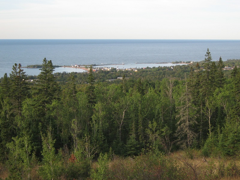
That afternoon we drove north through Duluth and on to Grand Marais, a beautiful little town on the shore of Lake Superior, complete with its own harbor and waterfront, and several excellent restaurants.
the harbor in grand marais
a view of grand marais and lake superior from a hill overlooking the town
Sept. 13th
EAGLE MOUNTAIN (2301’) 6.7 miles roundtrip, 700’ elevation gain, 3:10 RT time
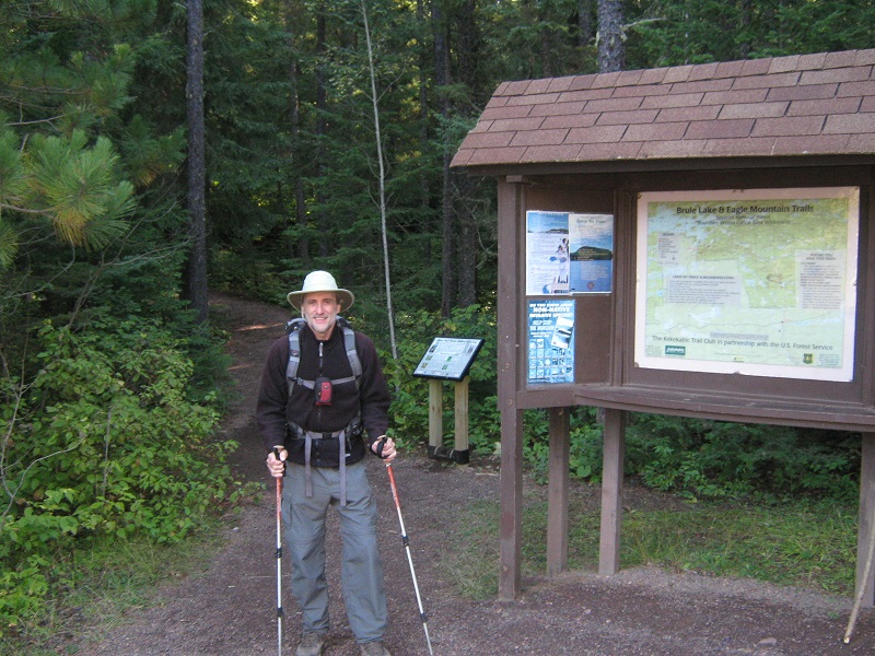
Of course I wanted to climb Minnesota’s highest point while I was here so Brian graciously started us off with a climb of Eagle Mountain. We left Grand Marais after a nice breakfast and drove northwest of town perhaps 15 or 20 miles to the popular Eagle Mountain Trailhead. Just before 9 am we headed up a fine trail to the north through the woods.
brian at the eagle mountain trailhead
on the trail to eagle mountain
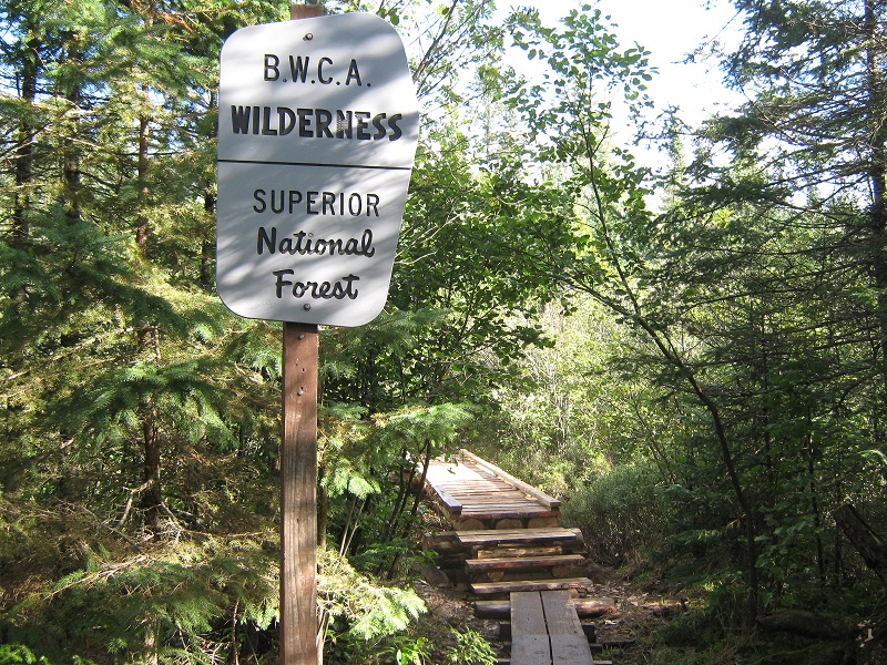
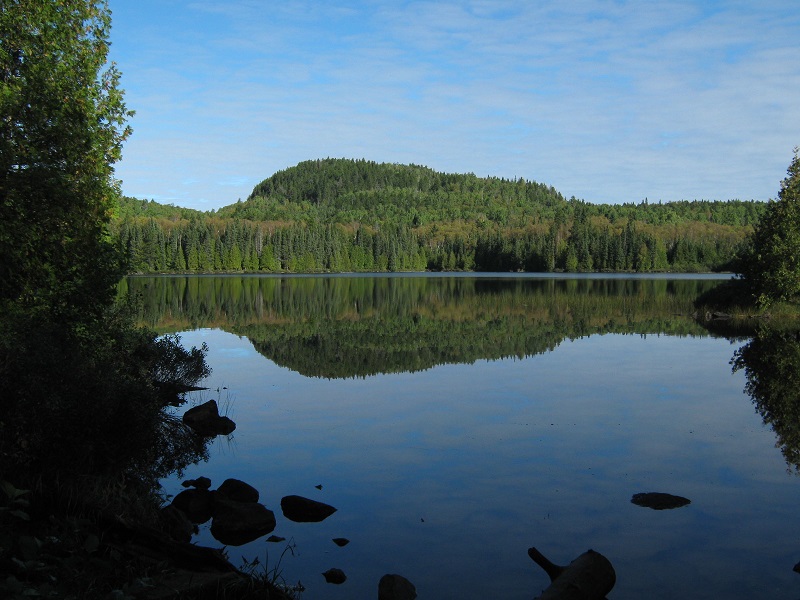
The rocky trail went through rolling terrain for the first couple of miles, occasionally crossing boggy areas on boardwalks. The woods were very dense and overgrown on both sides of the trail, and I noted how difficult it would be to bushwhack through such a forest. Little did I realize the extent of the challenges we would soon be facing doing just that on the other hikes to come! After a couple of miles we reached scenic Whale Lake.
whale lake
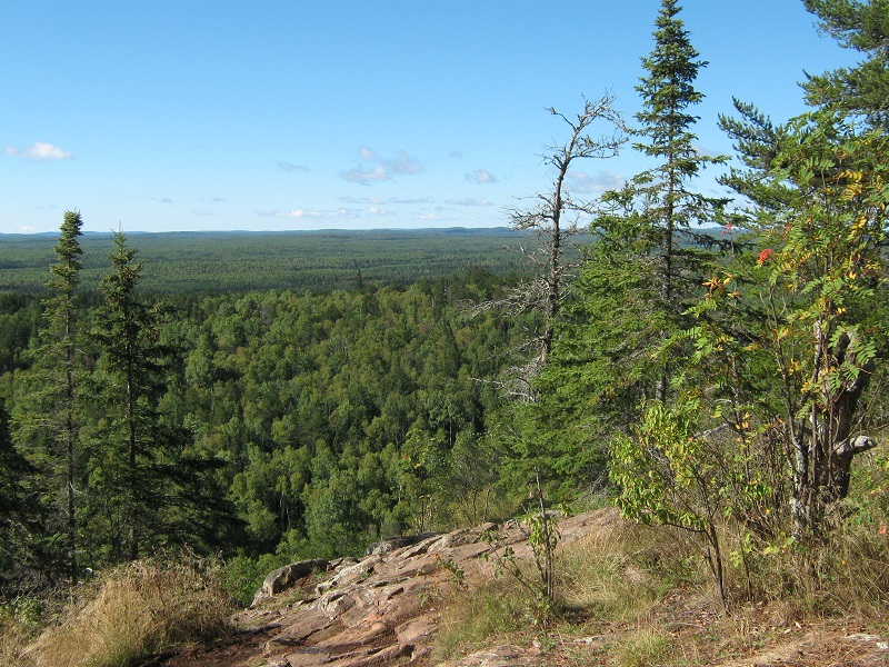
After hiking around the west side of the lake we turned left at a trail junction and began climbing a few hundred feet up to the summit of Eagle Mountain. Shortly before reaching the top we stopped at a nice viewpoint.
a nice view from the trail
on the summit
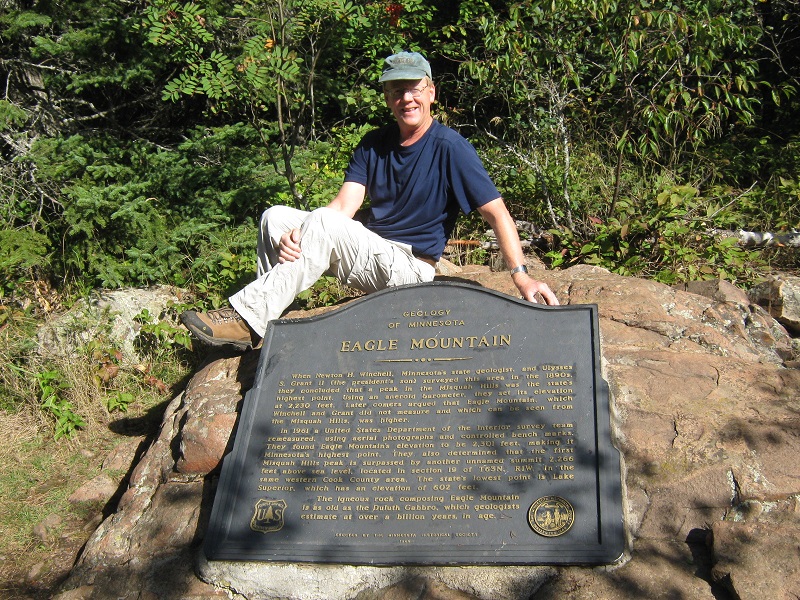
The broad summit was marked by an impressive plaque. After 15 minutes on top we left and retraced our steps to the trailhead. We saw almost no one on the hike up but met about 25 hikers on the way down. We returned to the trailhead just after noon.
POINT 2110’ 0.8 miles roundtrip bushwhacking, 380’ elevation gain, 2:00 RT hiking time, about 6 miles canoeing
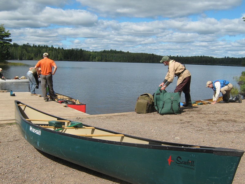
After eating our Subway sandwiches in the car we drove west to Sawbill Lake, where we rented a lightweight canoe, pushed off from the dock about 1:30, and embarked on a short adventure to climb Point 2110’.
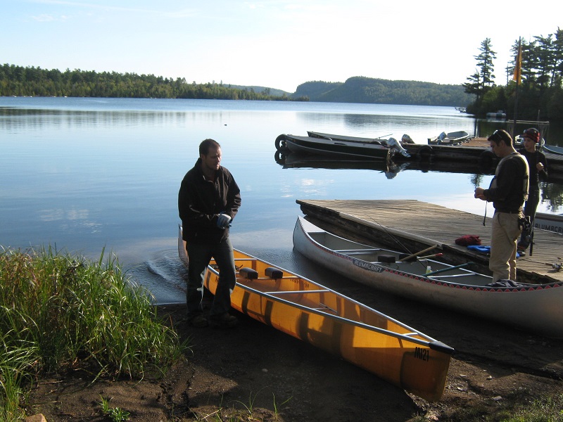
preparing to leave the dock at sawbilll lake
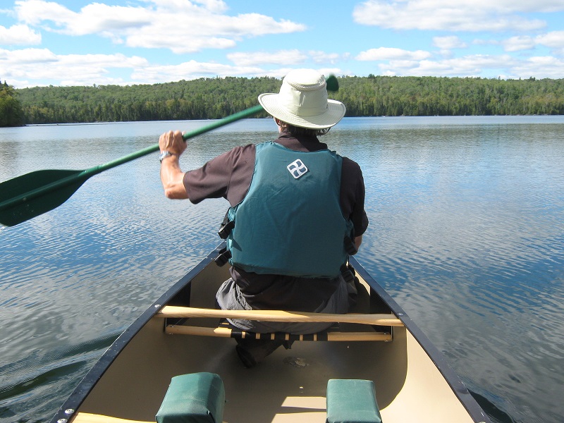
paddling across sawbill lake
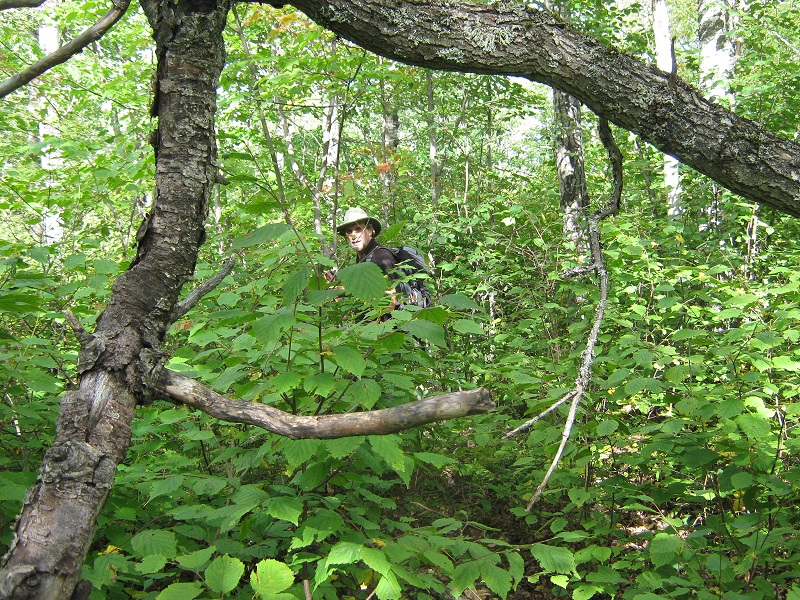
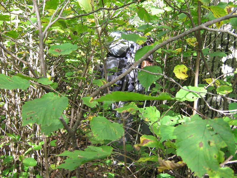
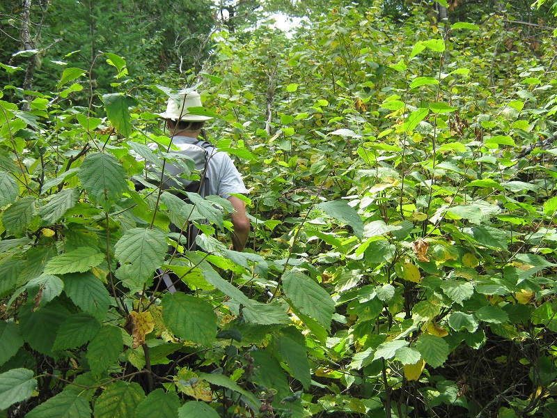
We paddled north about a half mile up Sawbill, portaged across to Alton Lake, and paddled a couple of miles to its southwest end. I had been on a couple of canoe trips in the Boundary Waters a quarter of a century before, and this was a lot of fun to do again. We beached the canoe and hiked on a portage trail toward Beth Lake, and just before reaching that lake we left the trail and struck off through the very dense woods toward the Point, which lay about a half mile away to the southwest. We pushed through the incredibly dense forest, which was choked with heavy undergrowth, downed logs, and rocks. This was ridiculously difficult and progress was extremely slow. Visibility was limited to less than 50 feet most of the time.
here are examples of what we hiked through!

Brian assigned me the task of picking a way forward through this literal jungle while he navigated the distance and bearing to our goal with his GPS. It seemed to me that this would be next to impossible without a GPS. Without it a bearing to the point would be very difficult to maintain and it would also be hard to tell when you arrived on top! It took us about 45 minutes to bushwhack 0.4 miles to the top, and when we reached the gentle and broad summit of the hill Brian thrashed about for a while checking elevations on his GPS to convince himself that he had indeed stepped on the highest point. We fought our way back down through the dense jungle to the trail and soon started paddling back to the dock.
a bald eagle is sitting at the top of the tree along the shore
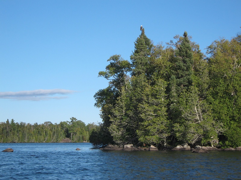
When we got back to the dock about 6 pm we were treated to the beautiful scene of the late sunlight on the placid lake. This outing was a great warm-up for the three-day canoe expedition we embarked on the next day to climb additional points. On the drive back to Grand Marais we saw a bear cub dash away from the road into the woods. We stayed in Grand Marais again that evening.
Sept. 14th
POINT 2065’
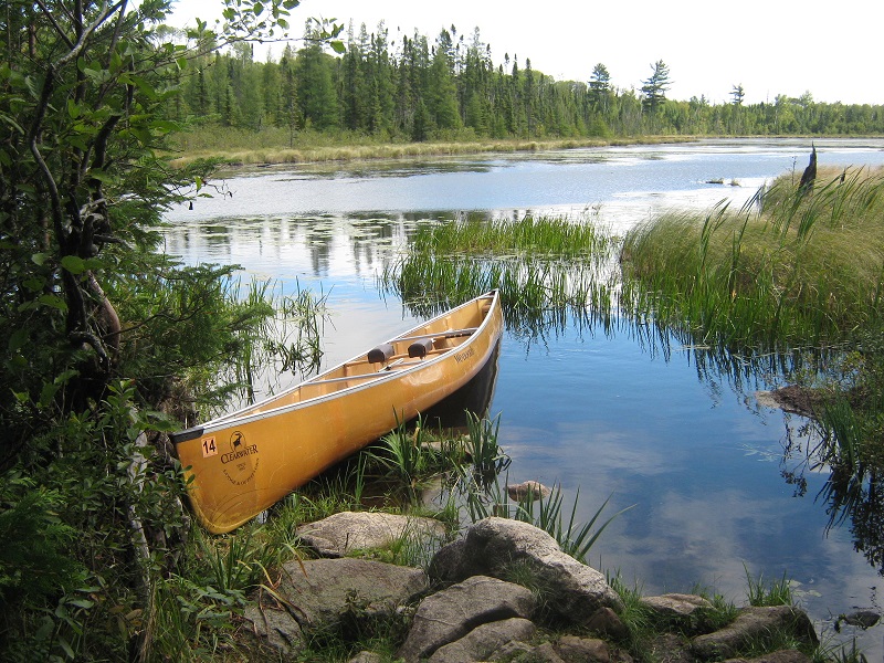
0.8 miles roundtrip bushwhacking, 400’ elevation gain, 1:40 RT hiking timeAfter a nice breakfast in Grand Marais we drove northwest on the Gunflint Trail for 25 miles or more and then took a spur road to the right to Clearwater Lake, where we rented another lightweight canoe from the outfitter there.
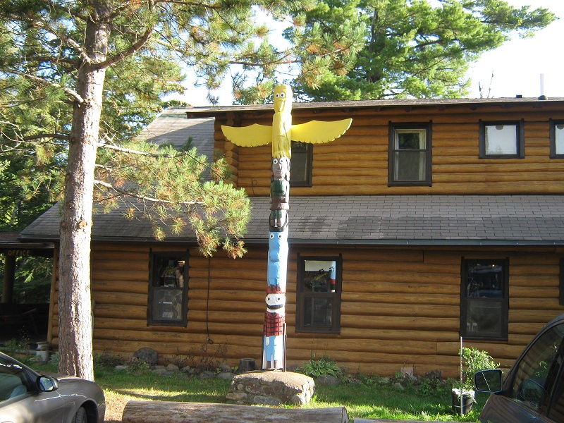
a totem pole in front of the outfitter's lodge
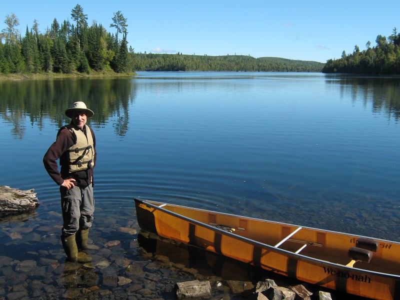
at the dock shortly before we set forth on clearwater lake
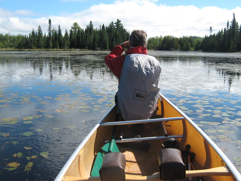
We started paddling up the fine lake at about 9:30 am on this beautiful September morning.
on clearwater lake
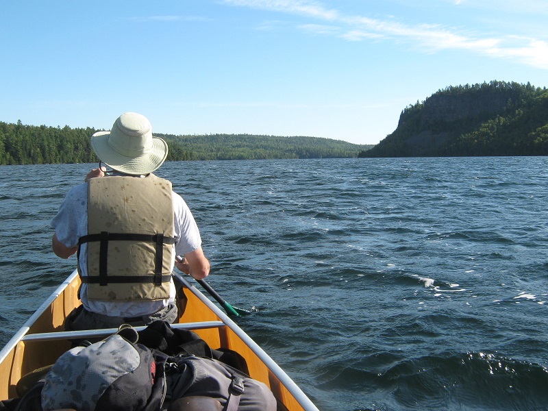
I sat in the back of the canoe and provided most of the steering while attempting to avoid splashing Brian and our gear as much as possible. We did not have waterproof bags for our gear but instead took large heavy duty trash bags which worked just fine. We methodically paddled about 5 miles up the lake in about an hour and fifteen minutes to the portage across to Mountain Lake. It took two trips across this quarter mile long portage to carry the canoe and our gear. We crossed the Border Trail on this portage, from which Point 2081, which was one of our possible objectives, could be reached, but we decided to go get the more remote points first and save that one to do on our way back if we were still up for it. We paddled northeast on the long and slender Mountain Lake, which lies on the border between the US and Canada. The international border runs right up the center of the lake and interestingly, we probably zigzagged back and forth across the border a few times. After paddling two or three miles down the lake Brian identified Point 2065 rising above the right shoreline with his GPS. We got as close to it as we could on the water and pulled the canoe up onto the rocky shoreline. The wind was blowing briskly so we tied the canoe to some trees to secure it because it would have been disastrous to return after our climb to find the canoe gone in this remote place!
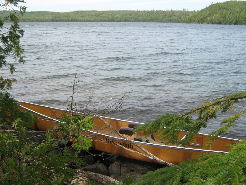
the canoe tied up on the rocky shore of mountain lake
We struck off to the south uphill into the extremely dense forest again like yesterday, guided by Brian’s GPS. This was even worse than yesterday because huge downed logs lay everywhere in the dense undergrowth and progress was excruciatingly slow.
here we go again
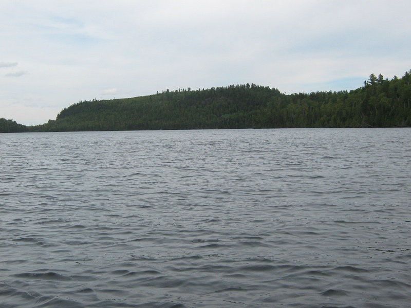
Brian periodically announced that we were a few hundredths of a mile closer to our objective according to his GPS, which was somewhat heartening. We joked about who in their right mind would do this sort of thing, and agreed that it was indeed a pathological endeavor. Eventually we got to the top and thrashed about there for a while looking for the highest point. Then we headed back down to the canoe, which would have been very difficult to find if not for the GPS. We paddled about 3 more miles down the lake to its eastern end and found a nice campsite on the shore below Moose Mountain, which would be our objective the next morning.
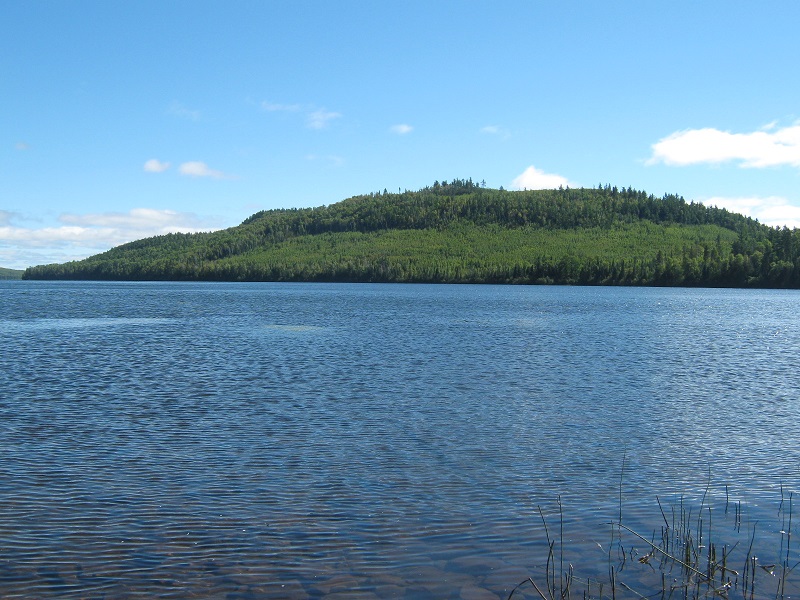
approaching moose mountain, the high point just to the right of center
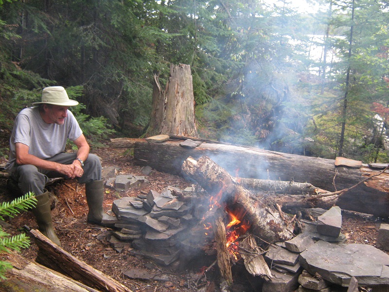
We set up camp and managed to get a nice campfire going in spite of the wetness of the abundant wood lying around.
sitting around the fire at camp
brian's tent
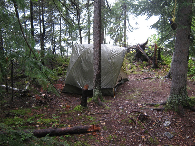
It was enchanting to see dusk fall upon the lake, with the Canadian side right across the water, and even more enchanting to hear loons calling their trademark northwoods call periodically through the night. It began raining shortly after we retired into our tents and it rained most of the night.
Sept. 15th
MOOSE MOUNTAIN
(2012’) 0.68 miles roundtrip, 370’ elevation gain, 2:00 timePOINT 1963’
1.0 miles roundtrip, 480’ elevation gain, 2:15 timeThe rain stopped early in the morning but everything was dripping wet.
our canoe lying on the shore
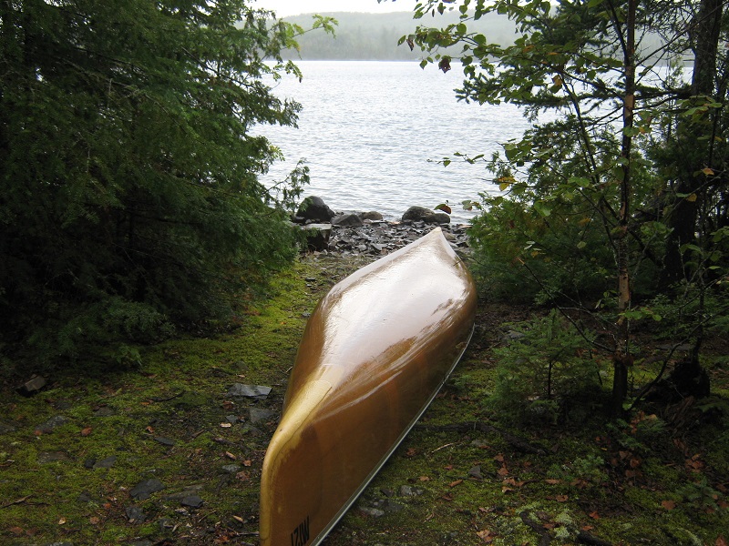
mountain lake early in the morning
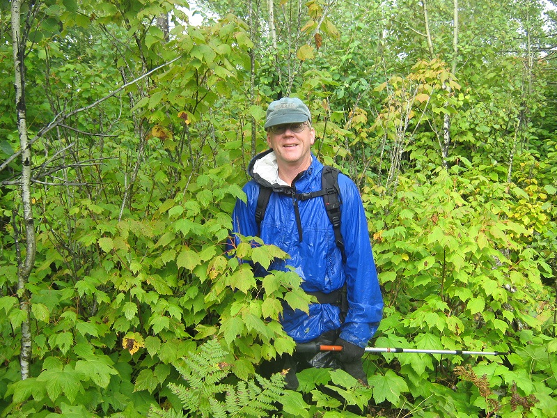
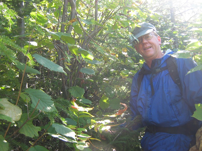
I put my raingear on, knowing that our climb of Moose Mountain this morning was going to be even more delightfully miserable than the previous climbs because of the wet vegetation.
all ready to get drenched on this climb
There was sort of a trail to start with, which apparently led up to some cliffs to the right that some people supposedly climb, but we soon bushwhacked up to the left of the cliffs and clawed our way up through the exceedingly dense and wet jungle-like forest toward Moose.
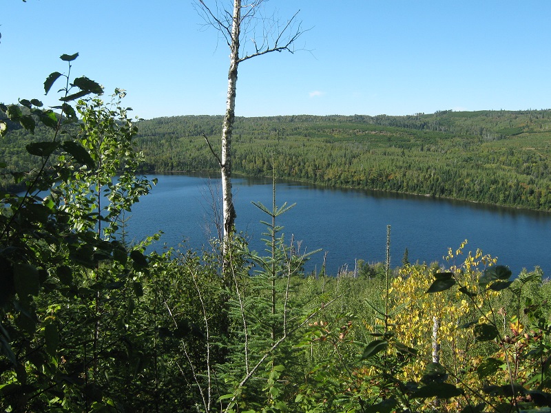
a view of mountain lake seen through a very rare opening in the trees
We eventually got to what appeared to be approximately the top and again thrashed around for a while looking for the highest point before heading down. This sort of hiking was almost intolerably miserable, but yet I wouldn’t have missed it for the world! Does this sound like someone who needs to get their head examined? Shortly after returning to camp we left and paddled a short distance to the end of the lake and began a series of three portages to Moose Lake, with short paddles through small boggy lakes between the portages.
brian carrying the canoe on one of the portages

getting ready to canoe across one of the ponds between the portages
this scenic pond had a lot of lilies in it
There was quite a bit of elevation drop between Mountain and Moose Lakes, which made for a grueling uphill carry of the canoe later when we returned. Upon reaching Moose Lake we could see our next objective, Point 1963, across a bay less than a mile away.
point 1963 on the other side of the bay
We paddled across and again got about as close as we could on the water before beaching the canoe and heading up. There was a little more distance and elevation gain to reach this point than the previous ones.
vegetation was so dense on these climbs that you could often see no more than a few feet
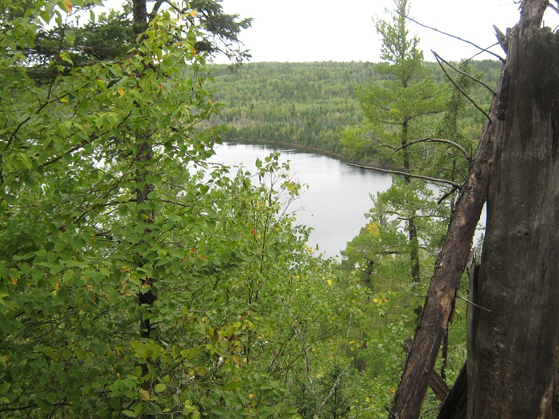
another very rare opening in the woods provided a nice view of moose lake. canada is on the other side
We gamely thrashed to the top once again and chalked up another one. This one was perhaps the greatest prize among these remote points that we climbed because it was the most remote of all.
Brian remarked later that he thought it likely that we were the first to have ever climbed at least a couple of these remote points. Who knows, it was hard to argue that point after seeing how ridiculously challenging it is to do this. Who in their right mind would do this, let alone a lot of them? Also, these points have probably been identified as official peaks per the 300 foot rule only in fairly recent times. It is kind of mind boggling to think that one may have stepped on a spot on the earth’s surface where no one has ever done so before.
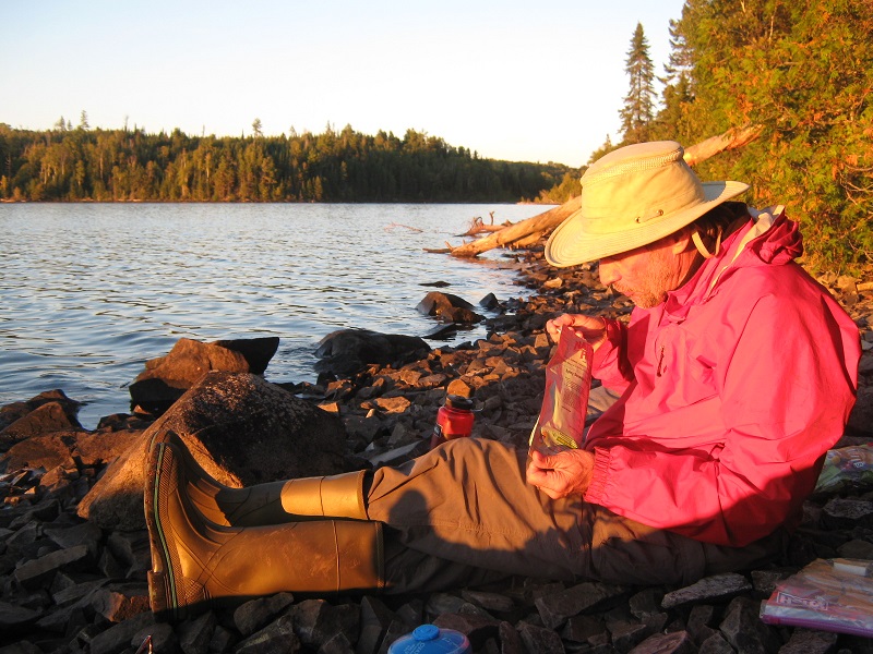
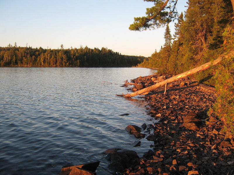
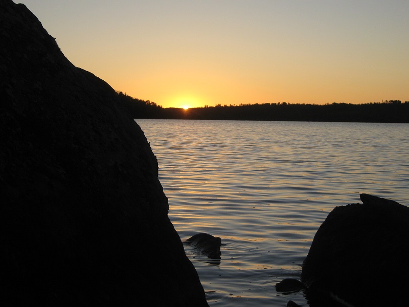
Upon returning to the canoe we paddled back to the portage and made the grueling climb back up to Mountain Lake and returned to camp. We were treated to a beautiful sunset that evening as we sat on the rocky shore and ate dinner.
a sunset dinner on the shore of mountain lake
late day sunlight on the lake
sunset over the lake
Sept. 16th
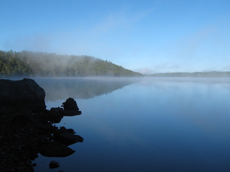
In the morning the lake was covered with fog which soon burned off, revealing the smooth glassy surface of the lake beneath a beautiful blue sky.
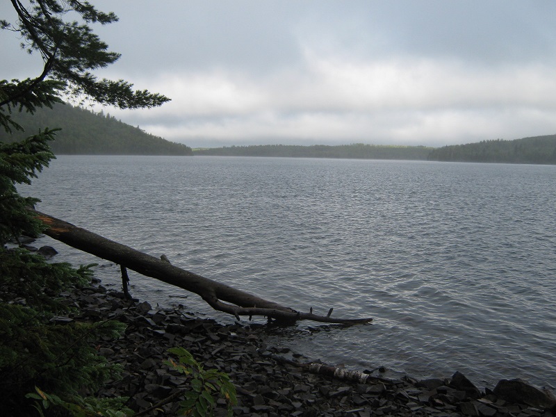
lingering fog over the lake
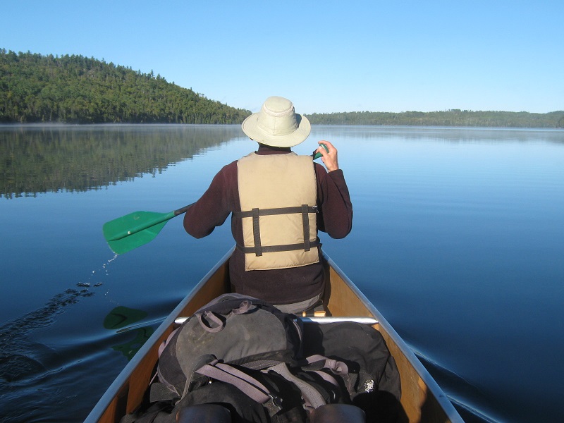
We broke camp and paddled about 7 miles back up the lake to the portage across to Clearwater Lake.
paddling up the beautiful lake
leaving mountain lake at the portage
My knees had had about enough by now so we decided to pass on two additional points accessible in this area so we continued paddling about 5 miles back across Clearwater Lake and returned the canoe to the outfitter.
the outfitter's dock was a welcome sight as we approached
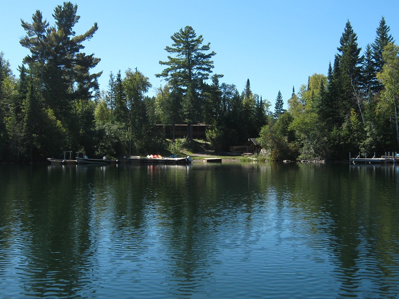
My arms and shoulders were pretty sore after paddling some 32 miles over the past four days. I stretched out in the sun on the dock while Brian went to get his Highlander to load up. We took a nice welcome shower at the outfitter’s bathhouse and then headed back to Grand Marais for a delicious lunch. We drove back to the Twin Cities that night, concluding this wonderful northwoods adventure.