MISSOURI HILL (12,708’)
LOST MOUNTAIN (12,610’)
July 20, 2025
By Tim Briese
3.4 miles, 2000’ elevation gain, 5:10 roundtrip time
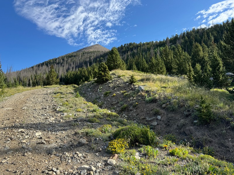
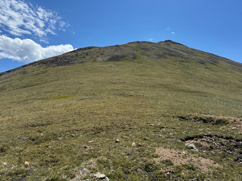
Brian and I left US 50 near Maysville and drove north on CR 224 and then turned left on FR 228 and climbed steeply up into the national forest. We left Brian’s vehicle when the road got too rough and 4-wheeled in my truck up to about 11,200’ feet. Remarkably, we gained nearly 3000 feet of elevation on the road in a few short miles after leaving the highway. We proceeded to walk up the road a short distance and then bushwhacked to the right up a steep slope to gain the south ridge of Missouri Hill.
we left the road here and angled up the slope to the right to the ridge. missouri hill can be seen ahead.
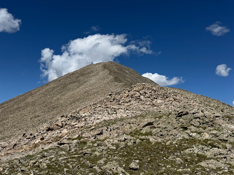
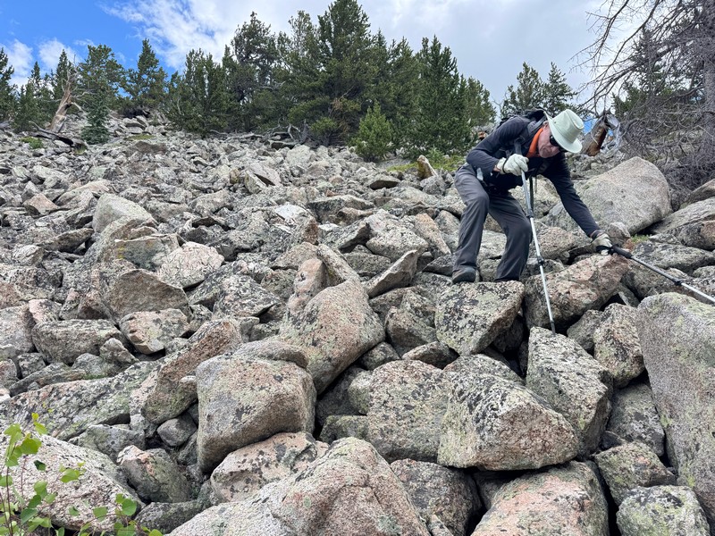
We followed the ridge to treeline and then engaged a talus slope all the way up to the summit.
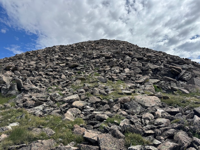
the talus slog begins
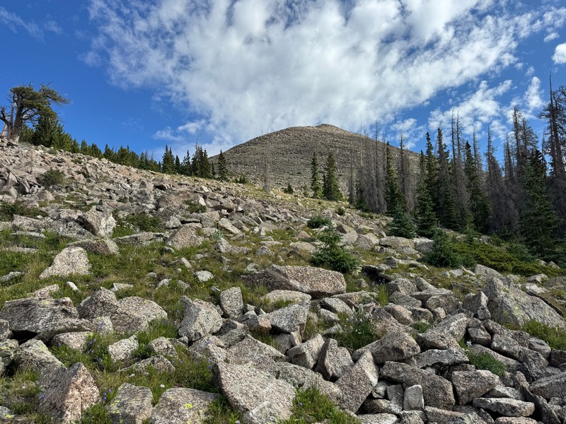
the slope to the summit
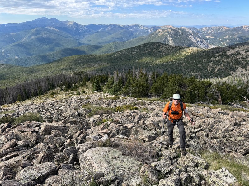
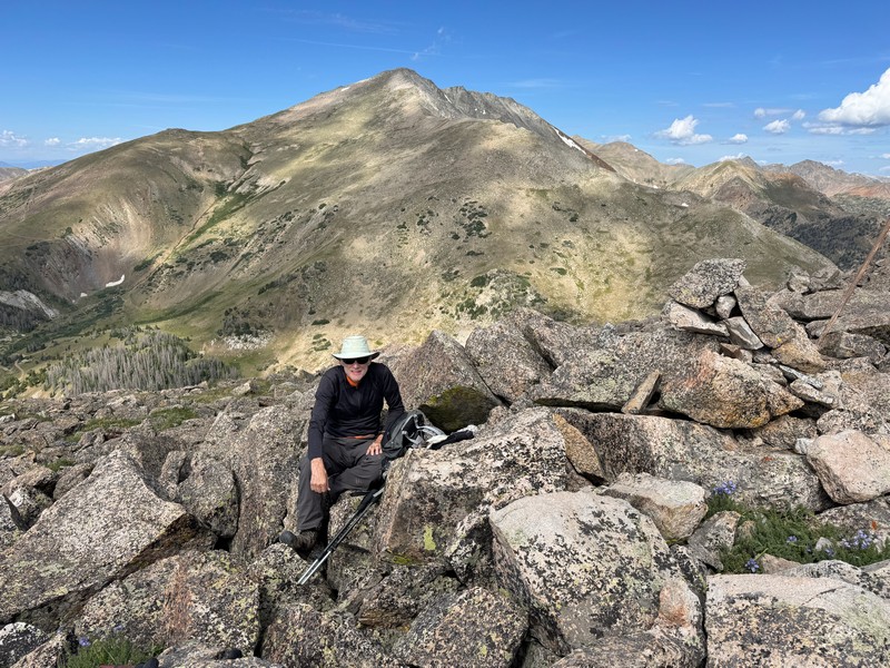
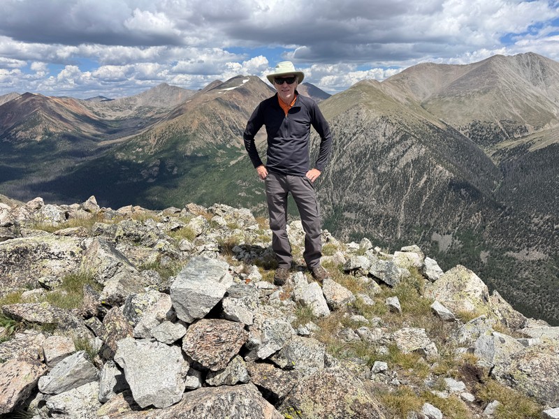
on the summit, with 13er taylor mountain in the background
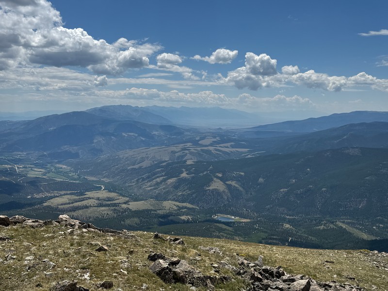
The views from the top were outstanding.
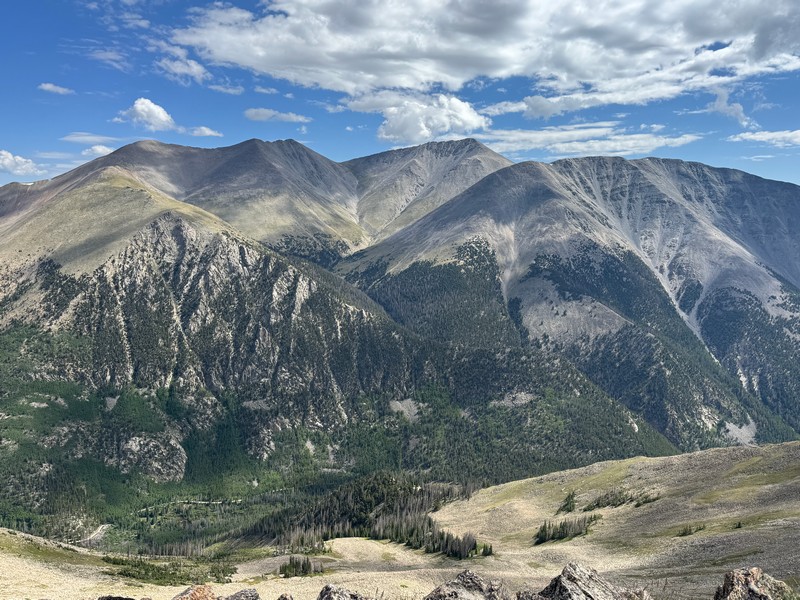
mt. shavano, to the right, across the valley
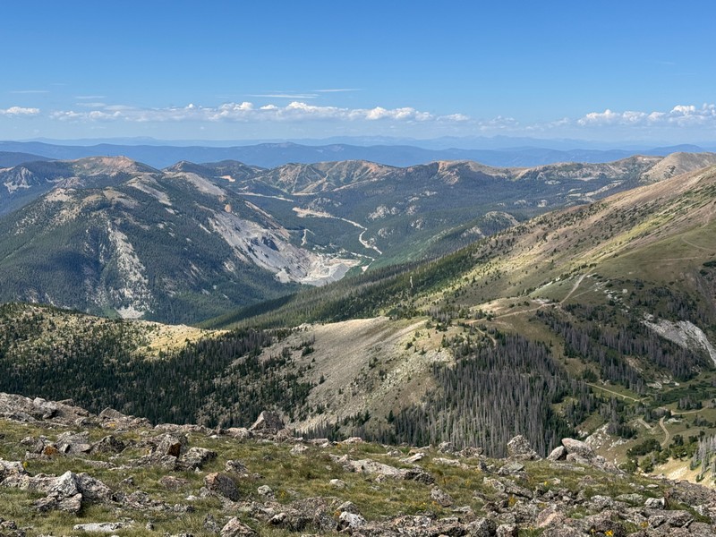
a view toward monarch pass and the monarch ski area
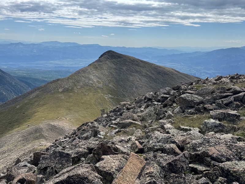
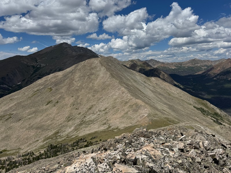
lost mountain, our next objective
After a while we picked our way down another talus slope to the saddle between Missouri and Lost Mountain.
approaching lost mountain
Missouri seemed like a big pile of talus rubble.
looking back up at missouri
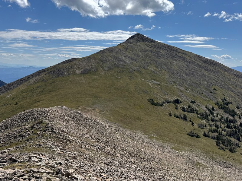
The climb up to the summit of Lost Mountain was much friendlier, mostly on grass.
We enjoyed the nice views here as well.
brian on lost mountain
looking back at missouri, contrasted starkly by the shadow on taylor mountain
view of the sangre de cristos to the southeast
After half an hour or so we headed down the slope to the southwest and contoured below Missouri back to the south ridge and then on down to the road.
the talus insisted that we fully pay our dues
The climb covered only about three and a half miles but it seemed like more than that.