MUSIC MOUNTAIN
(13,380’)August 19, 2012
By Tim Briese
10.0 miles, 3800’ elevation gain, 9:25 roundtrip time
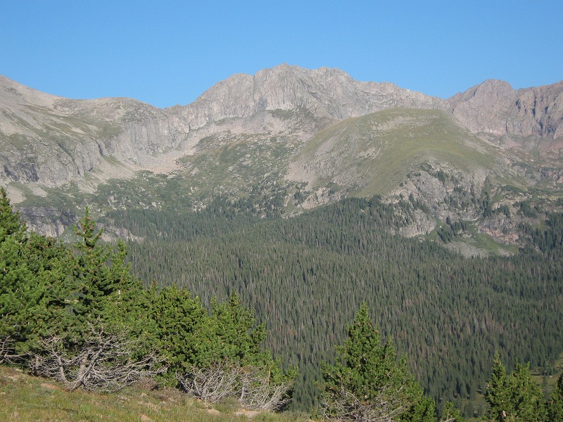
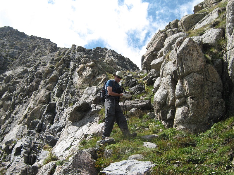
I left home at 3:45 a.m. after going out dancing with my wife the night before ("forever young" or just crazy?) and headed to Westcliffe to meet Brian. An unexpected road closure on Hwy. 67 south of Florence threatened to throw me way off schedule but fortunately Google maps on my I-phone directed me to an alternate route on backroads and saved the day. I met Brian shortly after 6 and we fourwheeled up to the Music Pass Trailhead. We were pleased to find the road in better condition than the last time we had been on it. Skies were clear and a beautiful day promised to be in store. At 7:10 we left the trailhead and hiked briskly up to Music Pass in 35 minutes. From the pass we could see Music Mountain and were able to preview a general route to get from Lower Sand Creek Lake up onto the peak’s broad eastern shoulder in a manner that would avoid cliff bands.
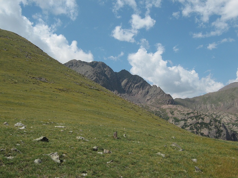
music mountain, top center. from the trees in the center of the photo we hiked to the right up onto the grassy slopes to the right of the peak.
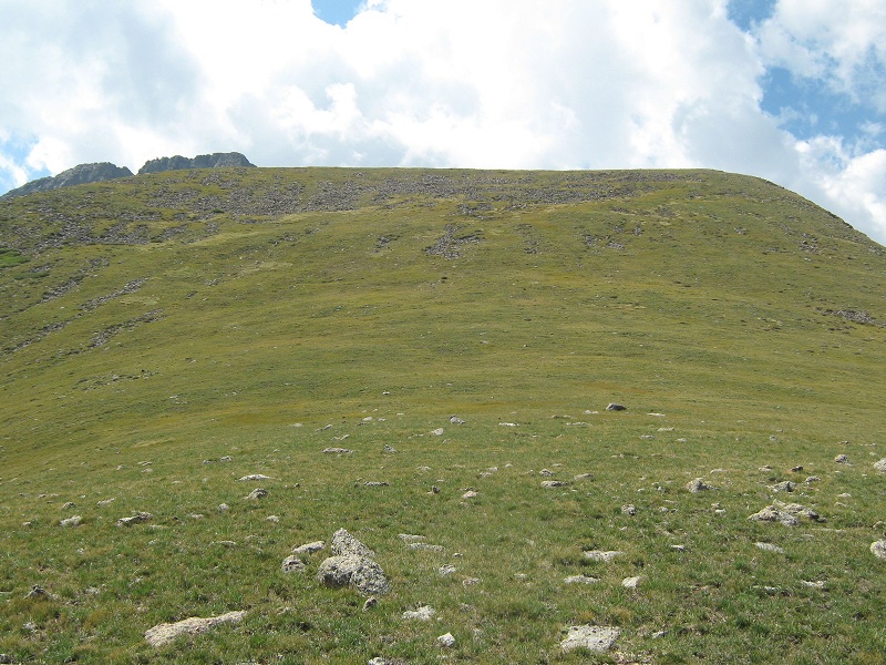
We made good time hiking to Sand Creek Lake then struck off north through the woods and found a very faint trail that took us up to timberline. We hiked up steep grass to 12,600 feet on the peak’s broad and grassy east shoulder.
the grassy slope we went up (photo taken later in the day)
Then we strolled west until we reached the peak's steep east ridge.
we went right up the ridge in the center of the photo

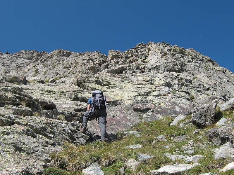
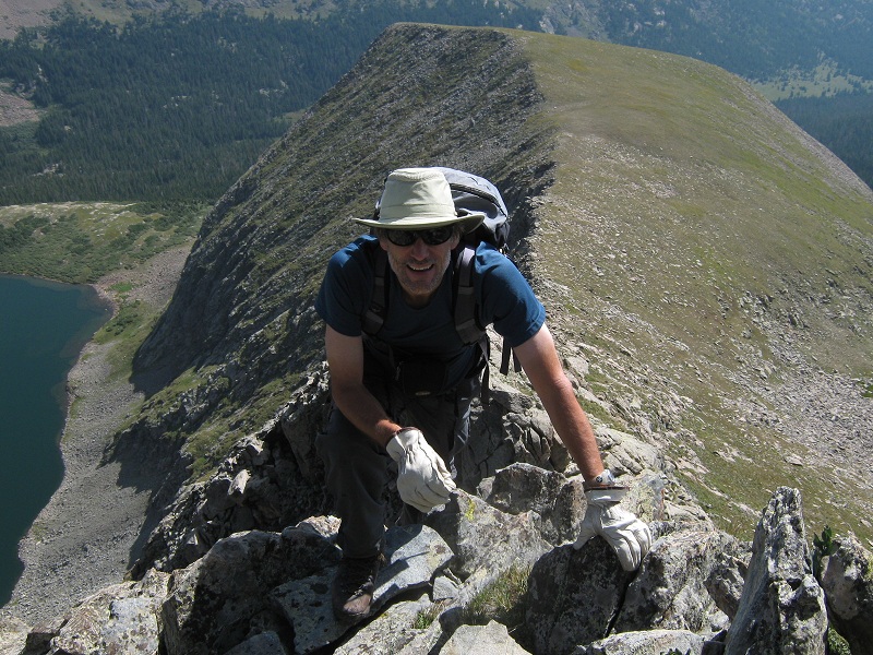
We proceeded to climb about 500 feet up the ridge on steep and solid terrain that involved a lot of Class 3 scrambling which was a lot of fun. This was the most purely enjoyable climb I could remember in quite a while. We left our trekking poles at a notch part way up because it looked like we would not be needing them for a while.
about to start climbing up the east ridge
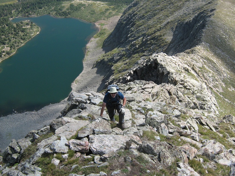
brian coming up the ridge. upper sand creek lake is to the left.
a little exposure, anyone?
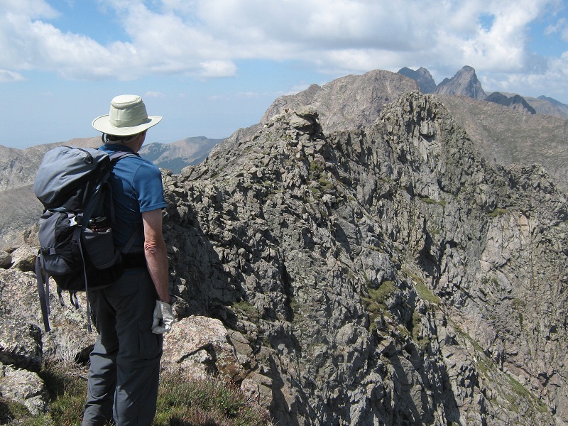
When we reached the summit ridge we looked to the north at multiple ridgepoints, the furthest and highest one we could see being the true summit.
brian looking at the summit ridge
The east face of the summit ridge was very sheer and exposed. We traversed along the west side of the ridge on reasonable terrain that was moderate at first.
we traversed across the slope at the left on nice ledges and ramps
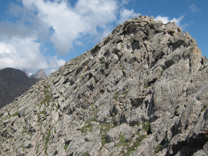
The terrain became increasingly steep when we approached the summit. Climbing up the ridge crest to the summit looked too extreme to suit us so we stayed a little lower and did an ascending traverse on steeply sloping slabs and ended up forcing a Class 4 route before we reached easier terrain. From there we strolled up the west slope to the top.
the summit is at the upper right. we did an ascending traverse up the slabs at the left. going up the ridge at the right did not interest us.
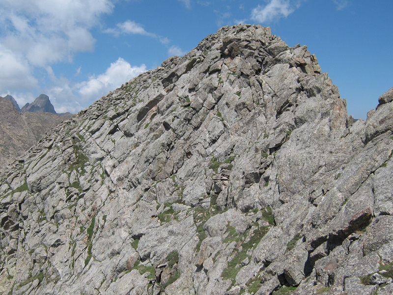
on the return we dropped down lower, to the far left of the photo, and came back on a much easier route
We arrived on the summit a few minutes before noon.
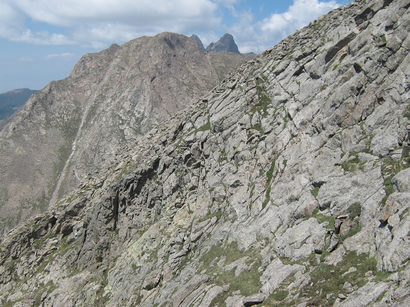
view from the summit of Pico Asilado, with the Crestones in the distance behind it
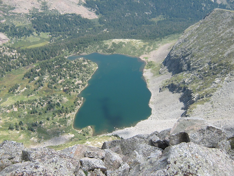
a birds-eye view of upper sand creek lake
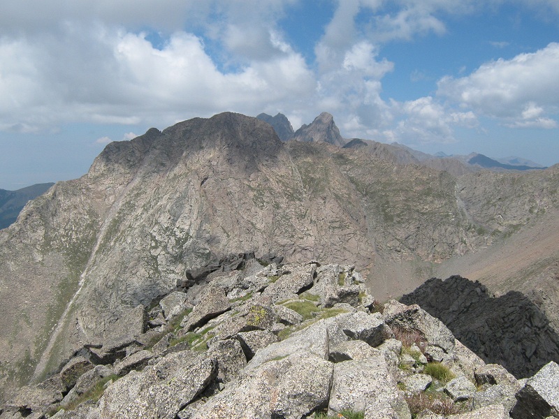
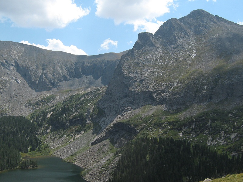
there was a nice view of music pass, in the center, and lower sand creek lake. the ridge we came up is at the right.

While we were checking out another ridge point just north of the summit another climber approached from the north and stopped to visit for a moment. Remarkably, he had already climbed difficult Milwaukee Peak and Pico Asilado today and was contemplating going on to Tijeras Peak! We left the summit at 12:20 and started to head directly down the crest of the ridge to the south but quickly came to a very exposed step that was not to our liking so we headed back down the west slope instead, dropping down a hundred feet or more where we found a much easier and safer traverse back to the south. We soon made our way back to the top of the steep east ridge and started down.
on the summit ridge, just before we headed left down the east ridge
After going most of the way down the east ridge we found a grassy ramp to the south which we took that provided a nice alternative to staying on top of the ridge all the way.
brian coming down the grassy ramp
In short order we hiked out onto the grassy shoulder of the peak and sat down there for an extended break to enjoy the panoramic scenery on this beautiful August day.
milwaukee peak above the green tundra slopes
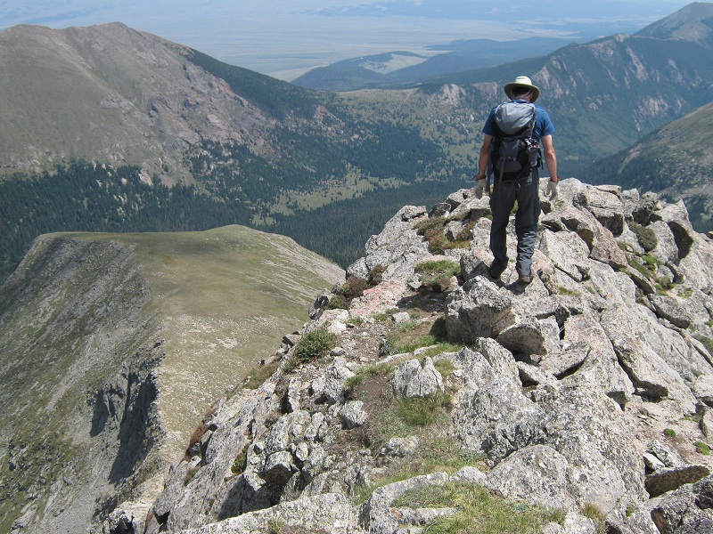
lower sand creek lake, with tijeras peak at the upper right
Eventually we tramped back up over Music Pass and returned to the trailhead at 4:35 and headed into Westcliffe for dinner.