NAPOLEON MT.
(12,563’)YELLOW PINE RIDGE
(9894’)HIGH DUNE
(8691’)July 24, 2019
By Tim Briese
Napoleon: 2.2 miles, 500’ elevation gain, 1:40 roundtrip time
Yellow Pine: 1.5 miles, 500’ elevation gain, 1:00 roundtrip time
High Dune: 2.6 miles, 700’ elevation gain, 1:20 roundtrip time
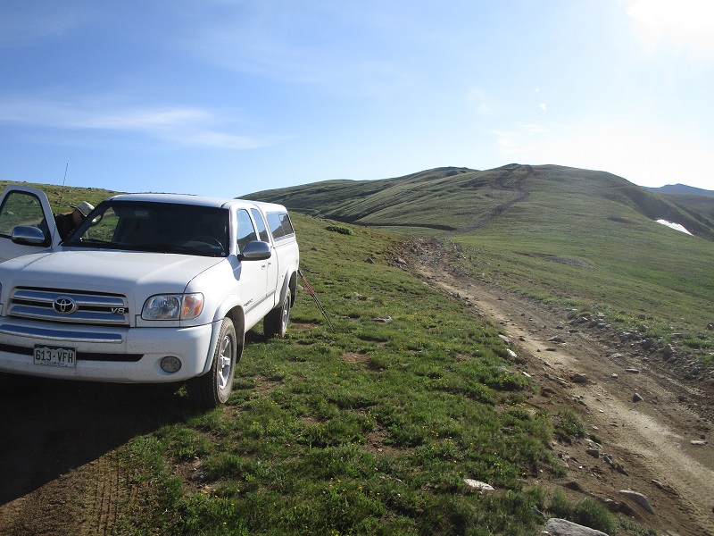
Unfortunately I was afflicted again with a strange fatigue syndrome during much of the summer of 2019 as in the past few summers, which curtailed my climbing endurance, but Brian graciously was content doing some short easy climbs together, which actually turned out to be a lot of fun. We left Gunnison about 7 am and drove east to Pitkin and continued up the quite good 2WD road to 12,015’ Cumberland Pass. From there we drove up a side road east of the pass a short distance and parked at 12,180’. At 820 we started hiking east along the easy grassy ridge to Napoleon Mt., about a mile away.
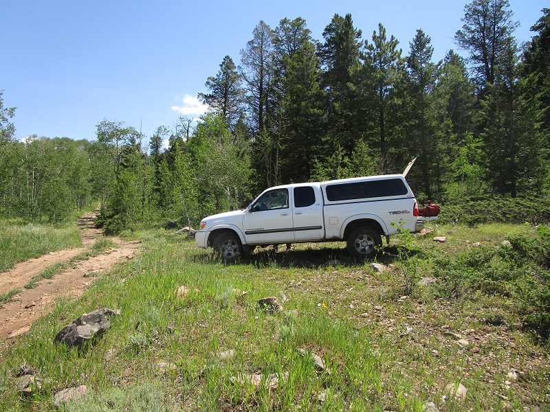
we parked here and headed up the ridge ahead on one of the atv tracks
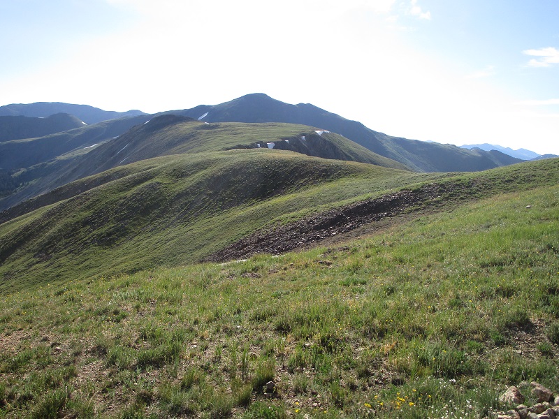
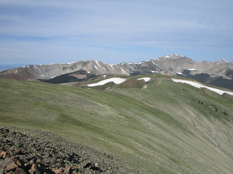
the easy ridge to napoleon, which is the hump at the end of the ridge at left center
We arrived on top in 35 minutes and sat and enjoyed the pleasant morning views from this vantage point. Some thought was given to dropping down east to Napoleon Pass and climbing 13er Fitzpatrick Peak on the other side, but that peak is much easier climbed from Tincup Pass on the other side of the peak, and we did just that the next month.
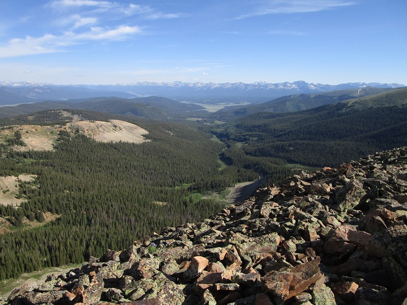
view down the valley to the north toward tincup and taylor park beyond
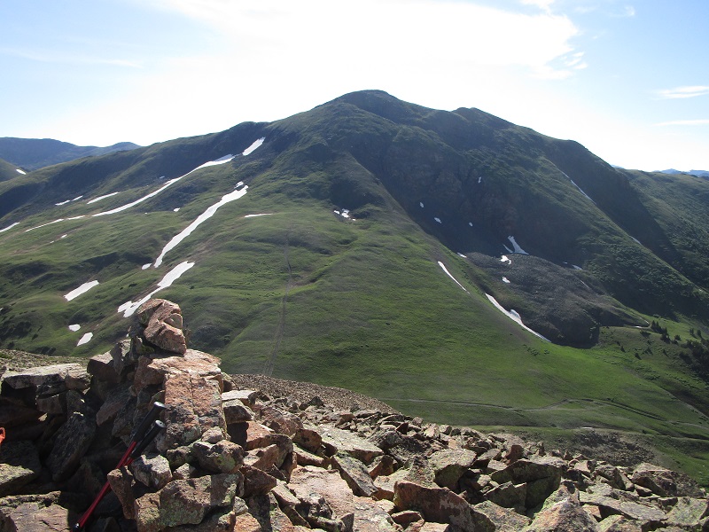
view of fitzpatrick peak to the east
the ridge back to cumberland pass
After we left Napoleon it took about 30 minutes to hike back to the truck.
Next stop: Yellow Pine Ridge. On our way back to US 50 on CR 76 we turned south onto CR44 (which is 3.6 miles west of US 50 if coming from the west). We followed CR 44 south about 2.7 miles and turned left onto FR802. We followed this road generally north then east about 4.9 miles and parked below Yellow Pine Ridge to begin our hike. The approach sounds simple but it wasn’t quite that easy. There are various twists and turns and confusing intersections, and the road got increasingly rough before our stopping point, but with my TI map and Brian’s navigational skills with his GPS we made it without too much trouble. Shortly after we arrived a couple of ATVs roared by.
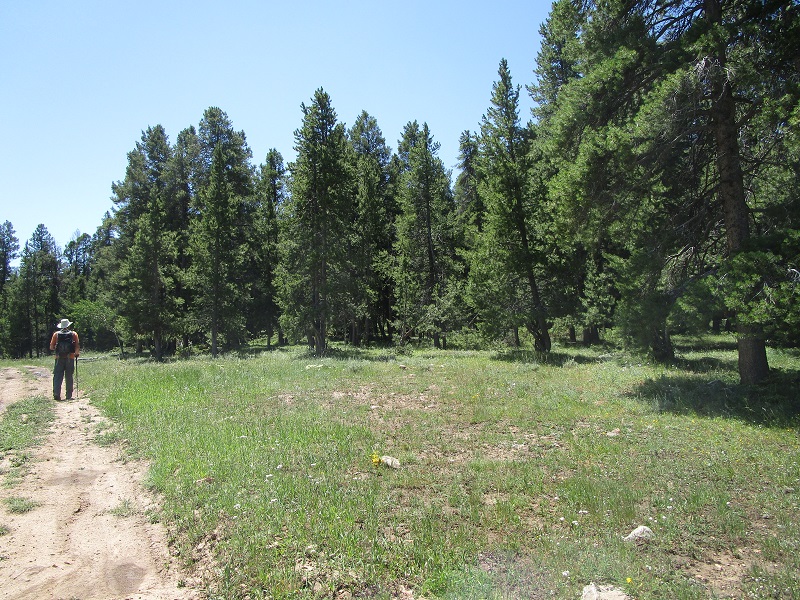
we parked here along fr802. yellow pine ridge is above to the right in the woods.
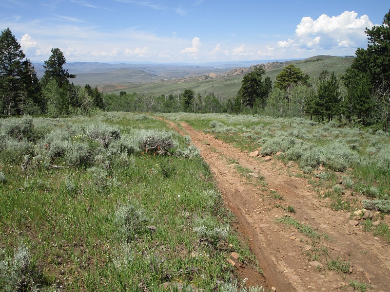
view back down fr802 that we had just driven up. we had to open and pass through a gate shortly before we arrived here.
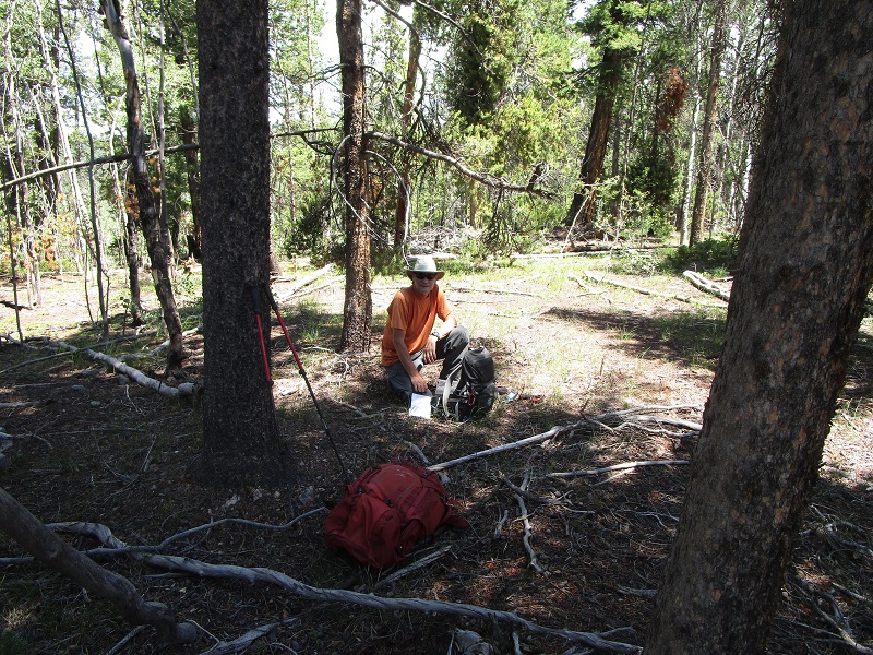
At noon we embarked on the climb. The summit was just above us to the east less than a half mile away but a direct ascent offered an unappealing steep bushwhack through dense woods so we hiked northeast on somewhat muddy FR802, which was little more than an ATV track here, around to the northeast side of the summit where we were afforded a much more gentle bushwhack a few hundred yards up to the top. We arrived there 27 minutes after we left the truck.
we left fr802 here and angled to the right through the trees up to the top
on top of yellow pine ridge
We left after ten minutes or so and made a more direct and steep descent down to the road closer to the truck, where we arrived only 17 minutes after leaving the top. A short and easy jaunt.
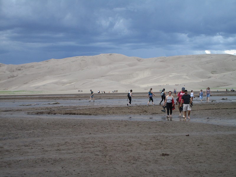
We arrived at the Great Sand Dunes National Park later in the afternoon and numerous thunderstorms were starting to pop up around the area. I thought a second about leaving my pack at the truck while we made a quick run up to the High Dune, but Brian thought that was a bad idea and I’m glad I didn’t as it turned out. (What was I thinking anyway, I never leave my pack behind!) We hustled out of the parking lot at 440 and scampered across Medano Creek, eyeing the building clouds. Scores of other tourists were hiking to and fro all over the sandy terrain.
crossing medano creek. high dune is in the center
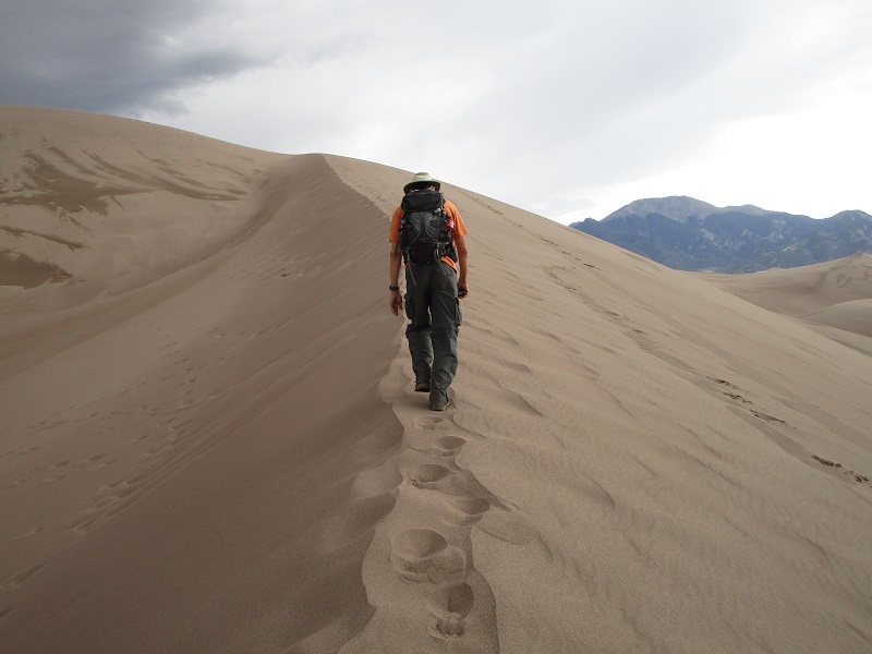
We picked a line up toward the High Dune, mostly following ridge lines where the annoyingly loose footing was generally a bit more firm. We cranked on up as fast as the heart and lungs would allow. As we approached the final ridge to the top a strong wind blew up and lashed sand over the crest into our faces like buckshot.
hiking up a ridge on a dune
approaching the top. you can see the sand whipping over the crest of the ridge.

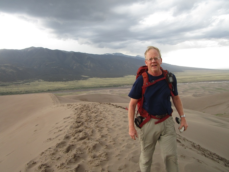
We stepped on top at 525 as dark menacing clouds surrounded us.
on the summit with my windblown look. i was holding my hat for fear it would end up in kansas.
Less than 5 minutes later we turned and scooted back down as fast as we could. Part way down a crack of lightning struck a sandy plain a mile or two away, and many more followed, some much closer. It was a dangerously exposed place to be in a lightning storm. Then rain started pouring down and we stopped and put our rain gear on as the wind shrieked around us. I prayed for safety from that lightning as we almost ran back to the parking lot. We arrived there intact about 6 pm. I was wet and chilled, and unfortunately the blower motor on my truck had died that afternoon, so I had to drive with my windows down to keep the windshield from fogging up, and I remained chilled the rest of the evening. It was an adventurous day to remember.