"NORTHWEST POLE"
(13,660’)POLE CREEK MOUNTAIN
(13,716’)August 24, 2011
By Tim Briese
11.0 miles roundtrip, 4000’ elevation gain, 9:00 roundtrip time
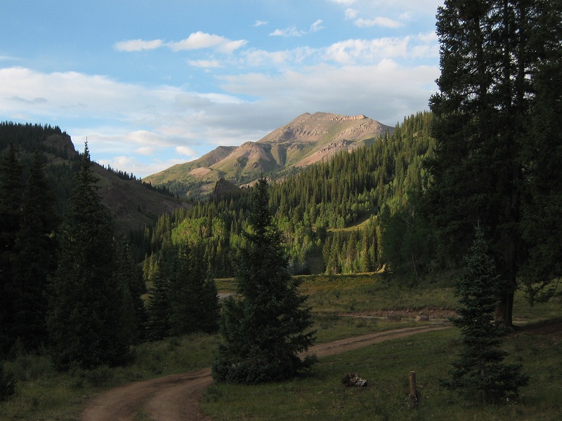
After climbing Potosi Peak Brian and I drove over 12,588 foot Stony Pass to truck camp for the night. I had never been over this pass before and was pleased to find the road in such good condition. It was steep and narrow but relatively smooth and it took just an hour and fifteen minutes to drive from Silverton over the pass to the junction with the Beartown Road. We checked out the Colorado Trail that we would be hiking up in the morning and found a splendid campsite nearby on a flat area a short distance off the road. The south ridge of Northwest Pole could be seen up the valley to the north.
view of northwest pole from camp
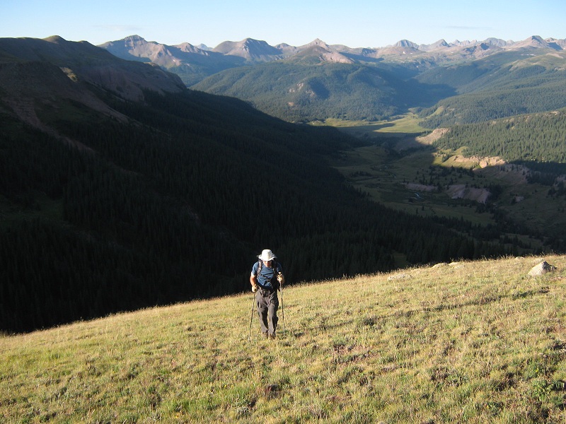
The next morning we headed up the Colorado Trail at 5:25 in the dark with our headlamps. Our starting elevation at the trailhead was about 10,600 feet. We cruised up the excellent trail up the Pole Creek Valley and about an hour later, after covering 2.25 miles, we left the trail at 11,200 feet and bushwhacked northeast steeply up through the woods toward Northwest Pole’s grassy south slopes. Once we reached the grassy slopes a nice view of the valley below opened up.
brian coming up the grassy slope. the valley we hiked up lies below
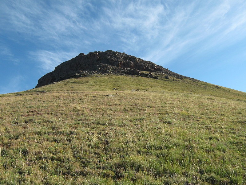
We debated whether to climb to the right or to the left of a large rock outcropping above and decided to go to the right which turned out to be a good choice. This put us on the more gentle eastern side of the ridge.
we went to the right of this outcropping
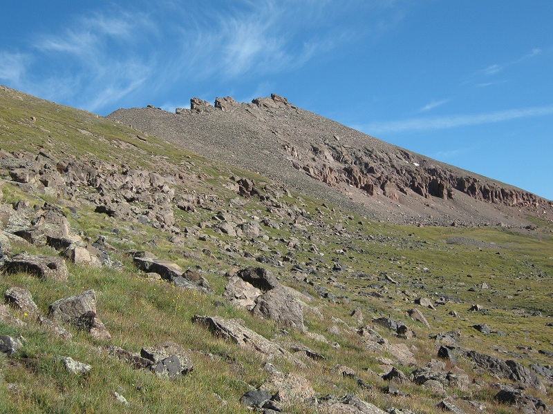
We made an ascending traverse on mostly grass along the right side of the peak’s south ridge for an additional mile to 13,200 feet, where we were greeted with our first view of the summit.
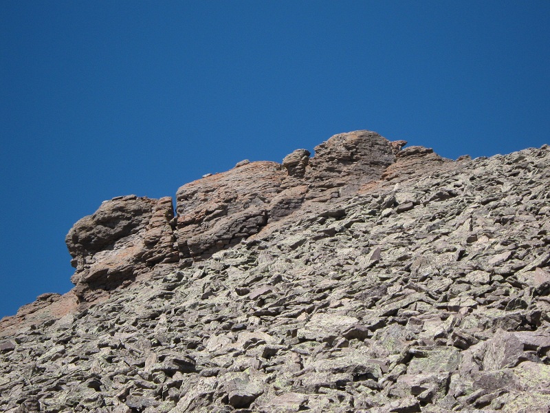
northwest pole's interesting looking summit
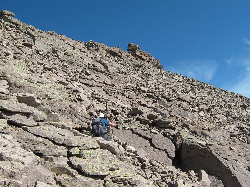
We climbed a talus slope up to the east side of the rocky summit ridge.
going up the talus slope to the summit
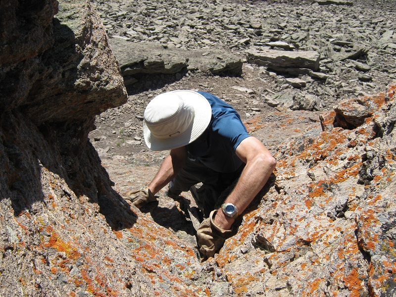
The summit ridge consists of a very narrow and exposed rocky rib about fifty feet long or more with the highest point at the southern end. I walked around to the north to get onto a ledge just below the summit ridge while Brian made a tricky climb directly up from the east to join me. We inspected two viable options to get onto the summit ridge, the first a very exposed class 3 scramble along the ridge from its northern end, and the second a much less exposed class 4 climb up a fifteen foot eastern facing chimney. We both elected to climb up the chimney.
brian coming up the chimney
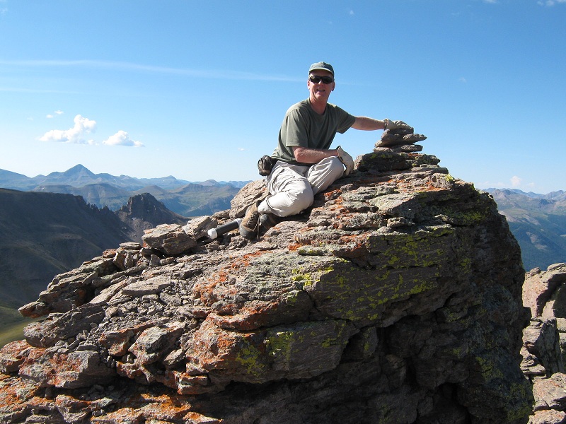
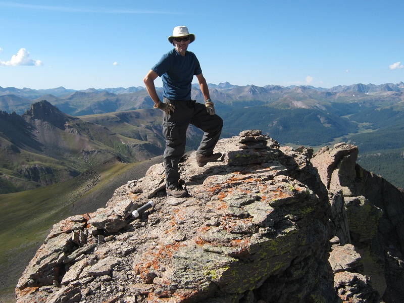
Once atop the summit ridge we scampered 30 feet south to the summit, with a final airy step over an 18 inch gap just before the summit block. I felt a little unsteady on my arthritic knees so I crawled over the gap onto the tiny summit but Brian bravely stepped over the gap and stood on top in spite of the great exposure.
me on the summit
brian on the summit
This summit is truly unique among the Colorado peaks I have climbed and was a lot of fun to climb. We arrived on top about 9:45.
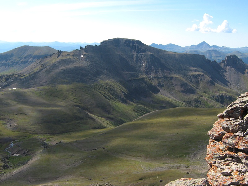
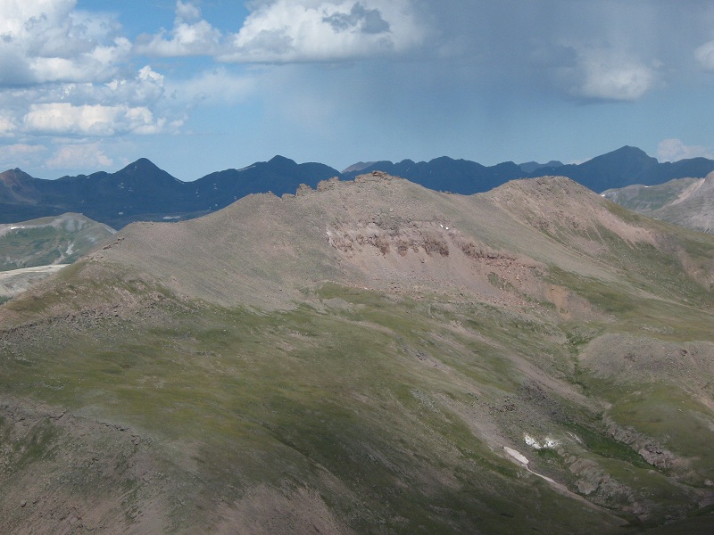
view of pole creek mountain from the summit ridge
the summit ridge viewed from below after we left. we went up a chimney in the center, then left across the gap to the summit at the left end
After a few minutes we scrambled back down to the base of the summit ridge and took a nice break. Clouds were already starting to explode into the sky so at 10:10 we left and headed for Pole Creek Mountain.
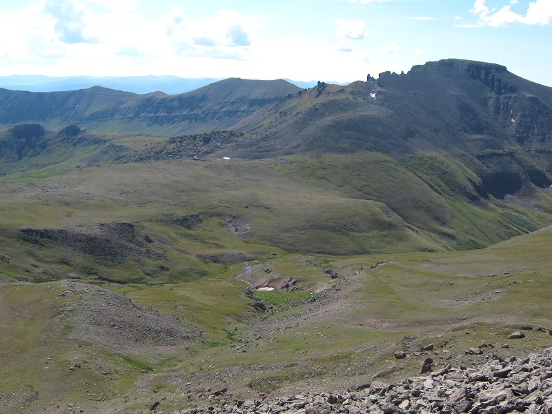
we went down to the far left then circled around to pole creek mountain, at the right
We hurriedly scooted down the talus slope to the east and traversed cross country around to the base of Pole Creek, where we arrived at 10:45.
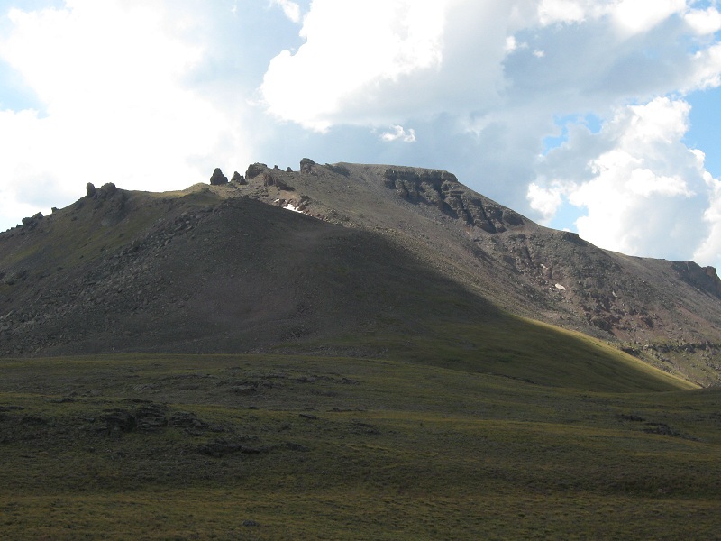
approaching pole creek mountain
Dark clouds were already menacing and a distant rumble of thunder created even greater urgency. We steadily climbed up grass and then solid talus before crossing a loose slope and working our way on up to the top. We stepped onto the broad summit at 11:40 and stayed only five minutes.
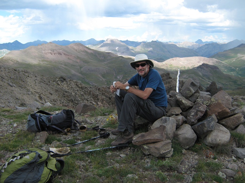
brian on the summit
view of northwest pole from pole creek
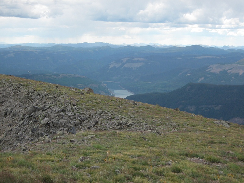
view of rio grande reservoir from the summit
Thunderstorm cells and falling rain could be seen in almost every direction. We headed back down our ascent route for a hundred yards or so and then left it and went directly down a large talus and scree gully to the west, all the way down to a scenic grassy drainage below that had an oddly colored reddish-pink wall on its south side.
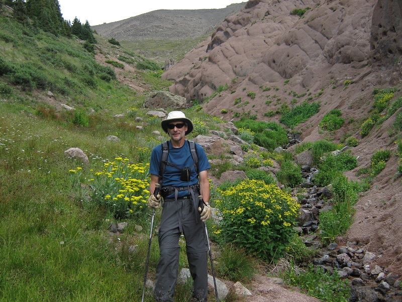
coming down the drainage
We followed a game trail up to the left out of the drainage and then made a bushwhack through the woods all the way back down to the Pole Creek Valley and the Colorado Trail. We met a hiker from Rico on the trail who inquired about our ascents today. We hiked rapidly down the trail as a few sprinkles fell and arrived back at the truck at 2:25. We drove back over Stony Pass and headed to Ridgway for the night, feeling quite pleased to have climbed these two remote peaks today.