PALM CANYON TRAIL, KOFA MOUNTAINS, AZ
January 7, 2021
By Tim Briese
2.2 miles, 600’ elevation gain, 3:00 roundtrip time
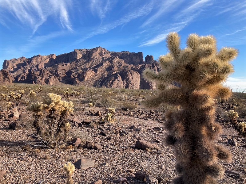
The Kofa Mountains are a spectacular and rugged range in a remote area of southwest Arizona that are encompassed within the Kofa National Wildlife Refuge. It is a refuge for desert bighorn sheep, several hundred of which live there. This rugged place is interlaced with some 4WD roads but there are few trails. It was on our bucket list of places to explore in Arizona.
Teresa and I left our place in Surprise on the northwest edge of Phoenix early one morning and headed west on I-10. The flat Sonoran Desert was interspersed with jagged desert mountain ranges along our drive. After about a hundred miles we reached the quirky little town of Quartzite, about 20 miles from the California border, and went south on US 95. Quartzite appeared to be the snowbird capital of the country, with hundreds and probably thousands of RV’s parked everywhere. The Kofas loomed on the skyline to the southeast. After about 20 miles on the highway we turned left on the dirt Palm Canyon Road and followed it about seven miles east to the Palm Canyon Trailhead at the foot of the Kofas. There were numerous campers scattered about on the wide open desert floor along the Palm Canyon Road.
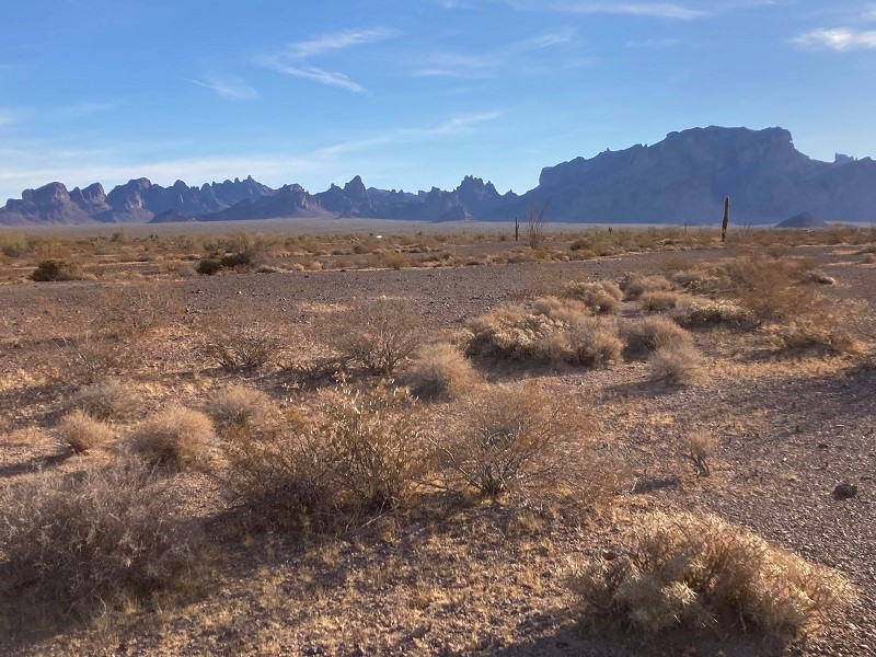
on the drive across the desert toward the rugged kofa mountains. signal peak is at the right.
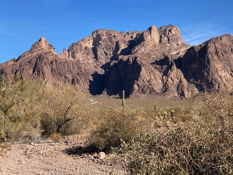
signal peak. palm canyon is in the shadow in the center
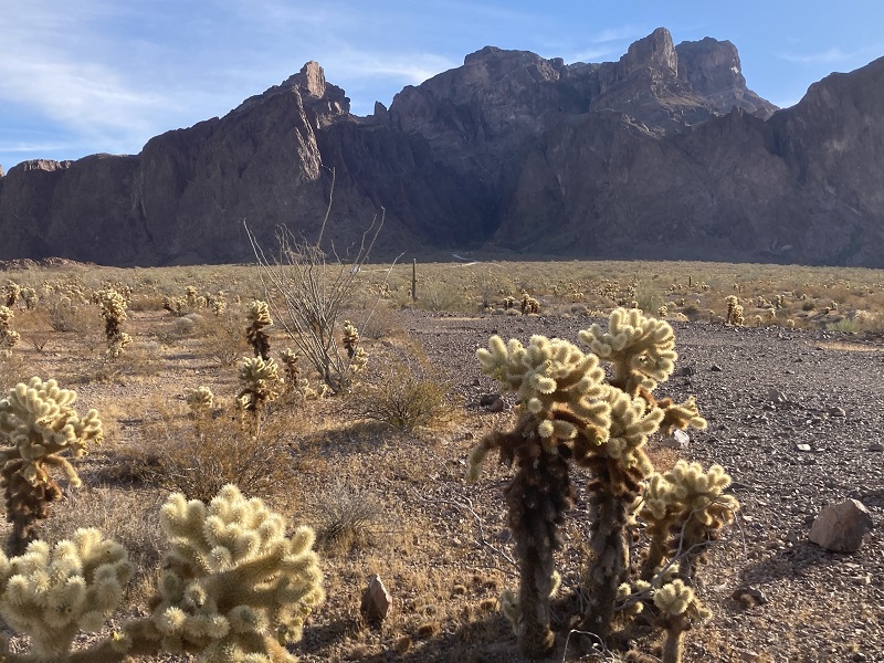
Signal Peak (4877’), the monarch of the range and the highest peak in southwest Arizona, towered very impressively above. Surprisingly there was no one else at the trailhead when we arrived. The towering walls above kept the whole canyon in deep shade on this January morning.
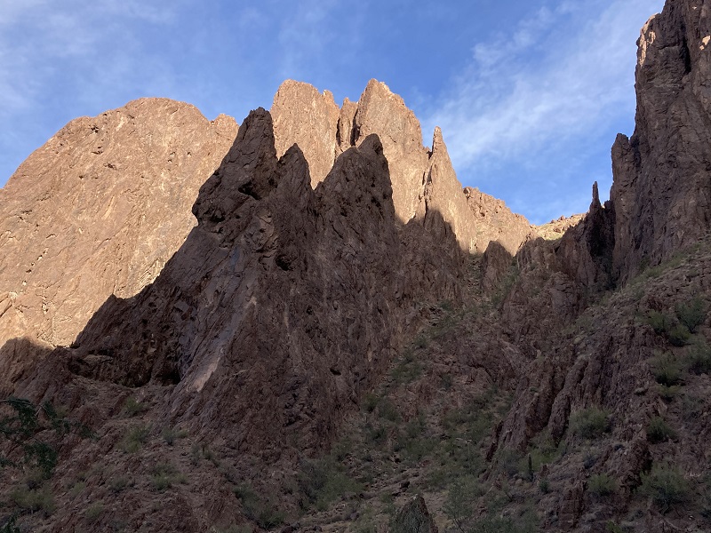
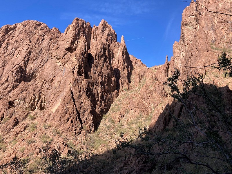
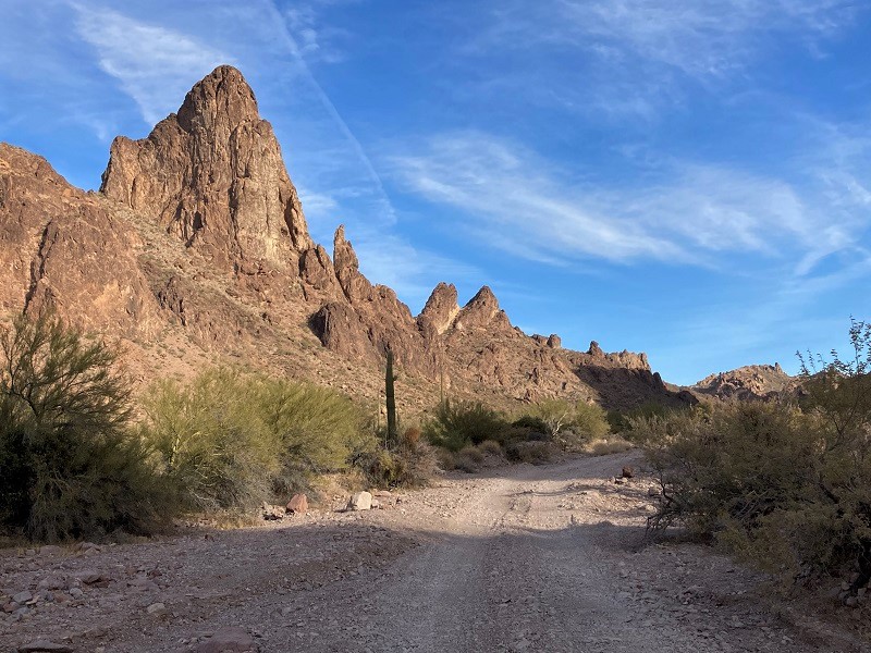
impressive pinnacles along the entrance to the canyon
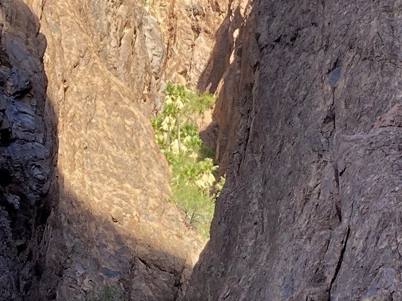
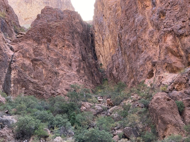
Palm Canyon harbors an Ice Age remnant of California fan palms, the only ones in Arizona, within its craggy side canyons. A good trail leads up the canyon about three fourths of a mile to an overlook of the largest of the groves, high up in a side canyon above.
a grove of palms up in a side canyon, near the center of the photo
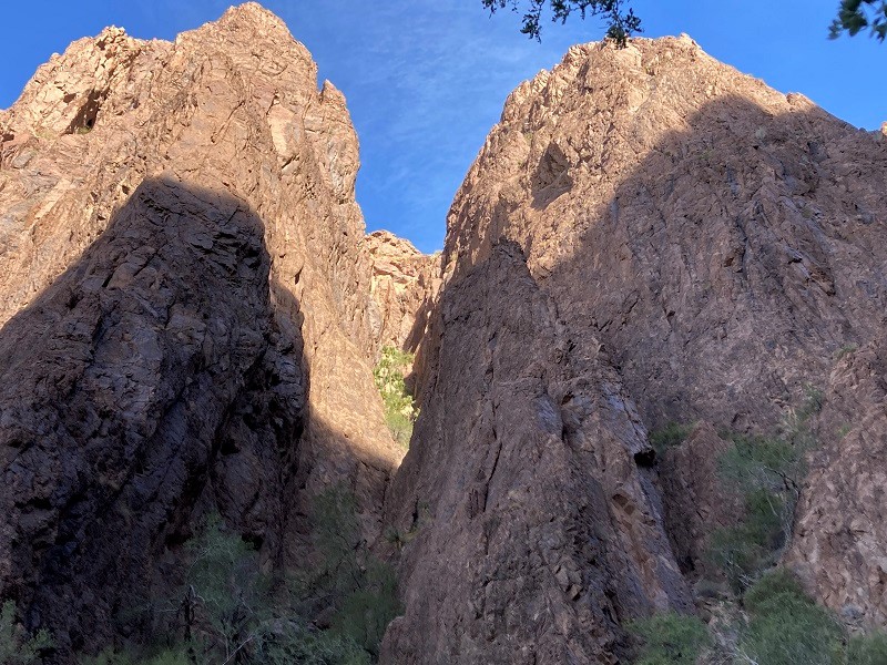
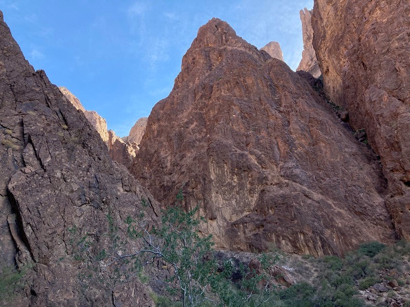
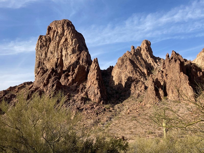
We found the palm trees interesting, but by far the larger draw of this hike was the tremendous rocky walls and cliffs that soared above, grandly impressive, with a Yosemite-like feel.
dramatic cliffs and pinnacles towering high above
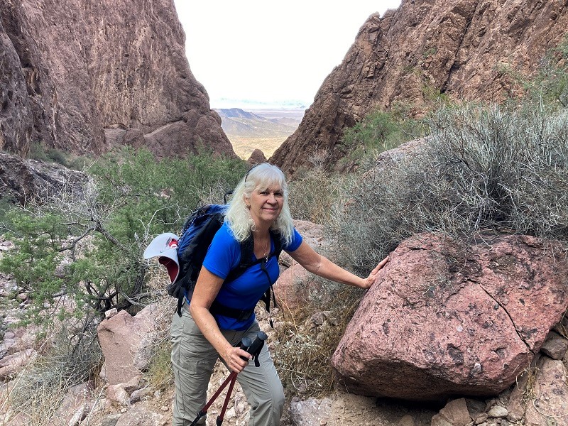
a view back down the canyon to the distant desert below

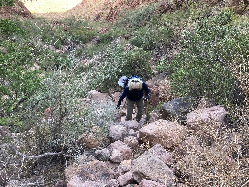
We wanted to explore as much as we could so we hiked beyond the viewpoint up the canyon on a rough trail that involved scrambling on and around numerous boulders and pushing our way past thorny desert flora. It seems that every plant in the desert has spikes or thorns on it, and it didn’t take long for our arms to become bloody from numerous punctures and scratches.
hiking up the canyon
a sample of some of the challenges on the hike
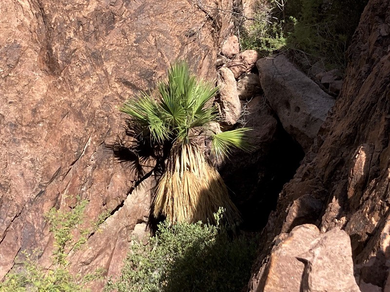
We climbed up into a side canyon to get a closer look at a couple of palms, then finding further progress up the main canyon too great of a challenge, decided to hike back.
a palm in a side canyon
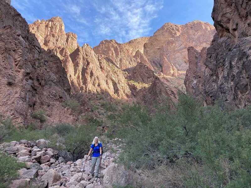
in palm canyon with signal peak towering above
We explored the possibility of climbing up the steep side canyon to the main palm grove, but decided part way up that the scrambling was too challenging and dangerous. We headed back out of the canyon, meeting several other hikers along the way.
rugged scenery going back down the canyon
While we were sitting in the sun eating some lunch we spotted a desert bighorn high up on a slope above. Getting a photo of it proved elusive though, as it shyly moved behind some bushes.
a view back at signal peak after we left the trailhead
We drove part way back down Palm Canyon Road in search of the mysterious Kofa Spiral Labyrinth, and were able to find it only with the aid of Google.
the spiral labyrinth
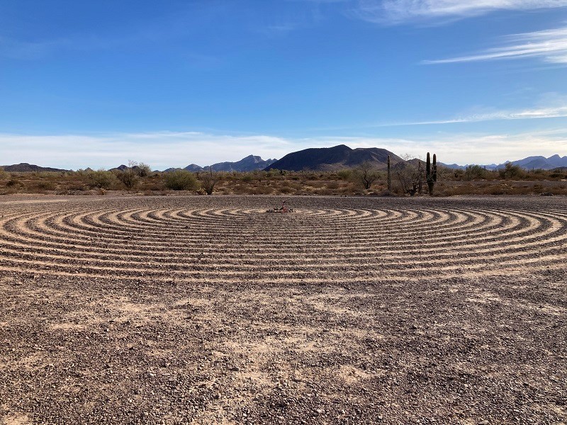
The labyrinth is only a hundred yards off the road but very difficult to see until one is upon it. Apparently no one knows who made it or what it is for. It is about 90 feet across, has 21 spiraling circles, and one walks about 0.6 miles following the spiral from its outer entrance to the center. I had never walked a spiritual labyrinth but after some guidance from Teresa, who has walked them before, we both proceeded to slowly walk the labyrinth while in quiet reflection. On the way in to the center I was inspired to ponder the brevity of life and mortality, as the circles became smaller and faster as I neared the center, much like life seems to flow. On the walk out of the labyrinth I was struck by the expansiveness of the Creator and creation.
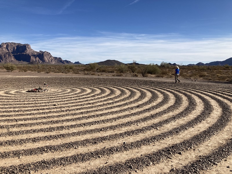
teresa walking the labyrinth
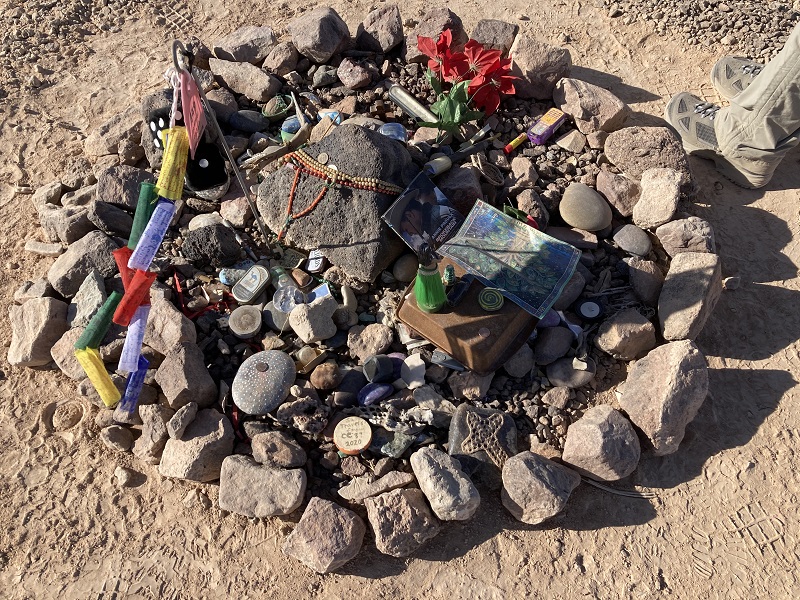
life mementos that other visitors had placed in the center
After that memorable experience at the labyrinth we drove up the Kofa Queen Canyon Road into the Kofas, fascinated by the drive across the desert approaching the mountains and then by the scenic 4WD jaunt into the canyon, with impressive towers and domes above.
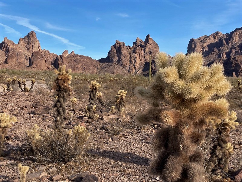
view of signal peak on the drive toward kofa queen canyon
the jagged kofas
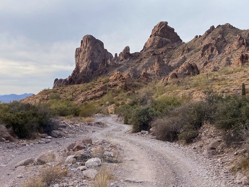
on the road in the canyon
We considered the idea of climbing Signal Peak today, and this 4WD road was the way to the starting point for the climb, but we decided it was more than we wanted to attempt today. There is a brutally steep and rough climber’s trail to the summit that gains over 2000 feet in a mile and a half with some scrambling, not for the faint of heart.
The sun was sinking low in the western sky as we headed back to Quartzite for gas before driving back to Phoenix that evening.