PETROLEUM PEAK
(13,505’)LARSON PEAK
(12,908’)July 22, 2017
By Tim Briese
6.3 miles, 2800’ elevation gain, 6:35 roundtrip time
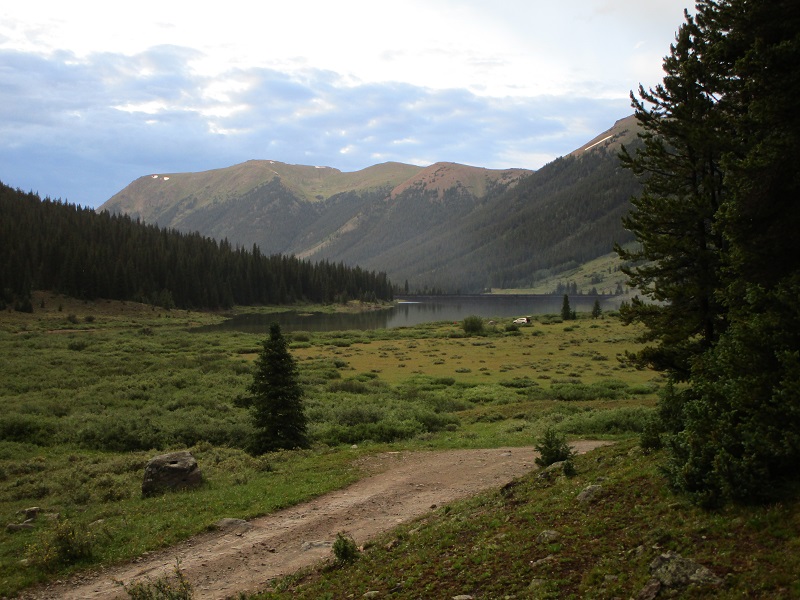
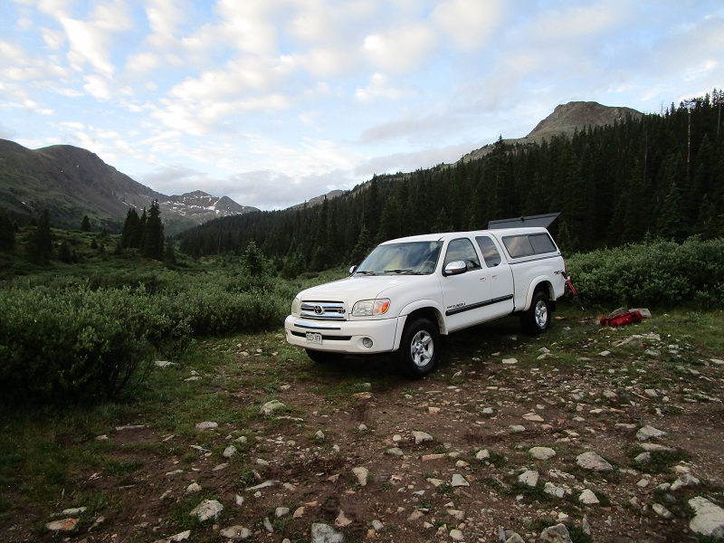
The evening before the climb Brian and I drove our vehicles up the Lincoln Creek Road off of Highway 82 about 6 miles to Grizzly Reservoir. This road was in good condition up to the reservoir, barely requiring high clearance, enabling us to cruise along at up to 30 mph in a few places. It took about 45 minutes to drive up to the reservoir from the highway. We found a fabulous spot to truck camp about a quarter of a mile past the reservoir in a meadow at the edge of the woods.
there was a nice view of grizzly reservoir from our camping spot
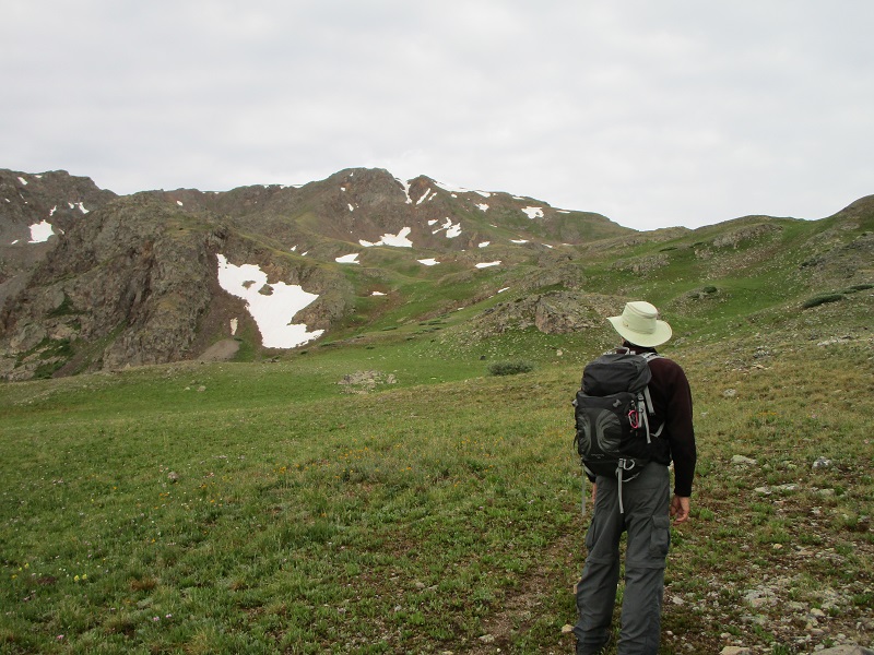
In the morning we left camp at 540 and continued on the road up the valley in my truck about 3.3 miles to the signed Anderson/Petroleum Lake Trailhead. The road progressively got worse as we went and high clearance was definitely required, and 4WD in some spots. We left the 11,250’ trailhead at 620 and hiked the great trail a mile up to Anderson Lake, at 11,800’.
the anderson/petroleum lake trailhead
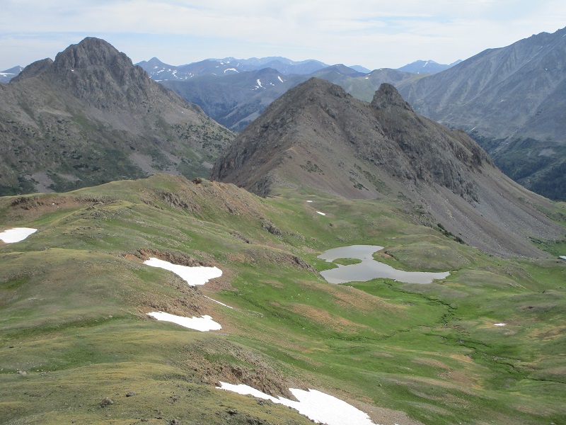
anderson lake, with anderson peak above
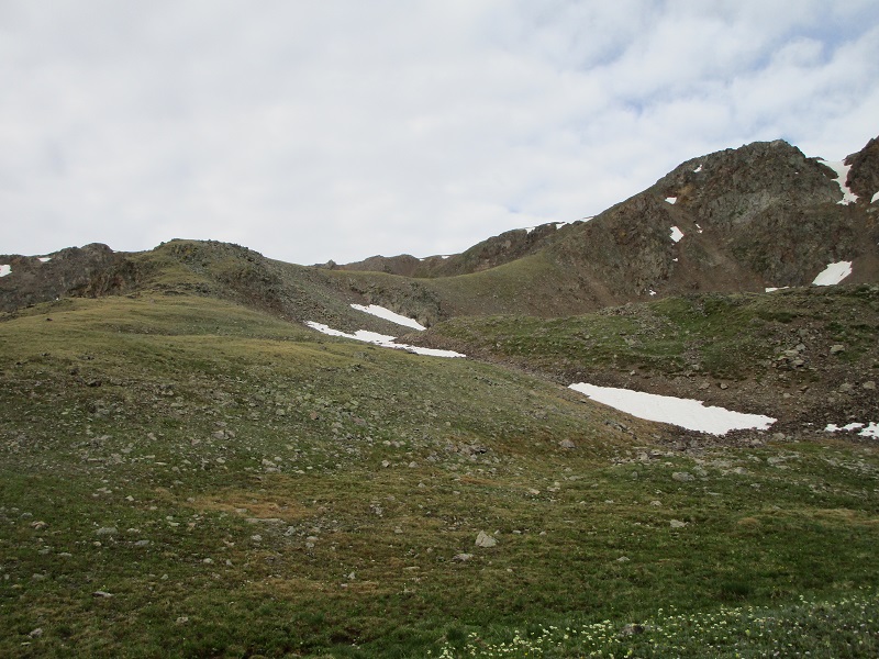
Then we took a lesser used trail that circled north and then west up to near Petroleum Lake at 12,200’. We went up a grassy slope to Petroleum Peak’s east ridge at 12,600’ and hiked up a grassy shoulder to gain the peak’s southeast slopes.
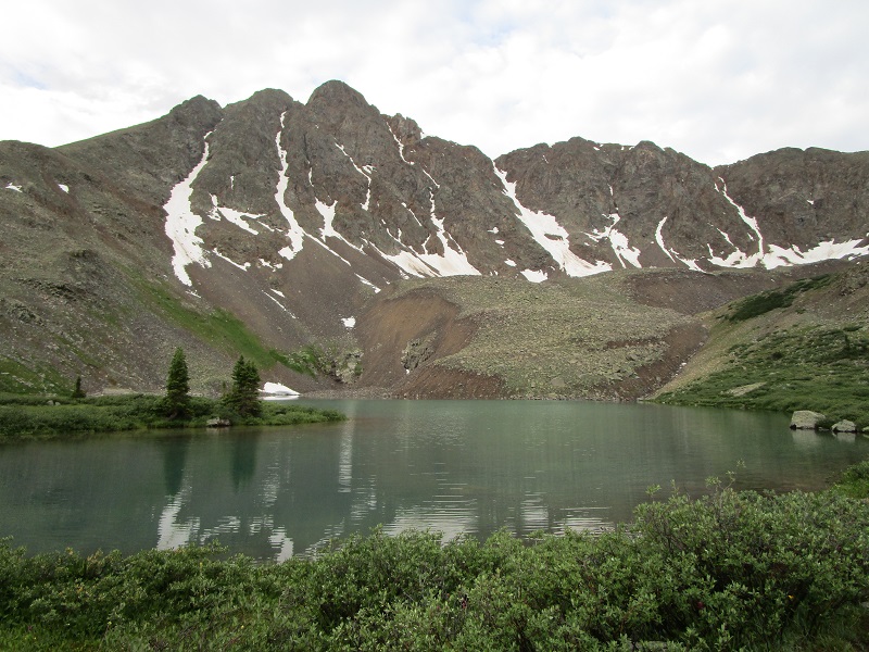
petroleum lake
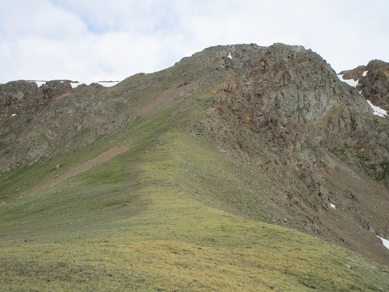
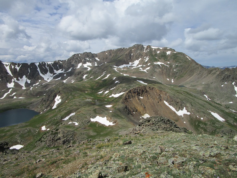
petroleum peak, in the center. we hiked up to the near ridge at the right, then angled left toward the peak's left slope.
on our way up the grassy shoulder at the left. the peak is to the upper right, not visible in the photo.
we went up this southeast slope of the peak, staying on grass as much as we could
The last 3-400 feet of gain was steeper and a little loose but we presently arrived on the summit at 850. We enjoyed the summit and views for about 25 minutes. This short climb was a backup for Broken Hand Peak today. A poor Sangre weather forecast and the length of that climb induced us to come here instead. This was looking like a good call, too, because the clouds were already looking dark and threatening off to the southeast in the direction of the Sangres.
brian on the summit of petroleum, with anderson peak to the left. note the low clouds in the taylor river valley beyond, a sign of rain later?

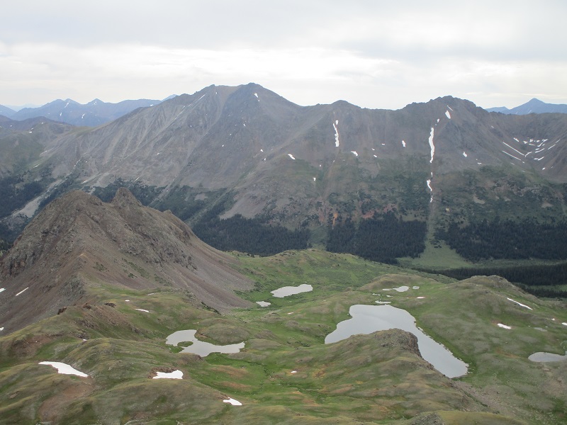
grizzly peak lies across the valley to the east. larson peak is at the lower left.
At 915 we left the top and retraced our steps back down the grassy ridge that we came up, to the 12,500’ saddle between Petroleum and Larson.
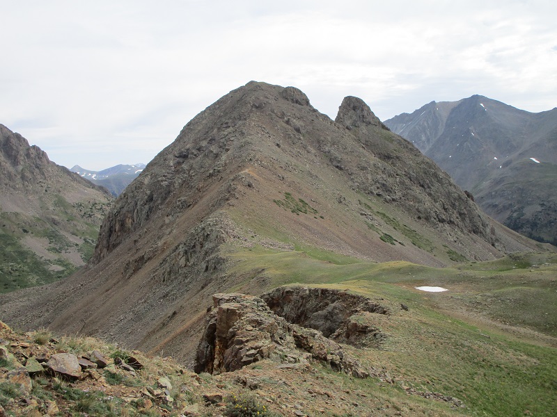
on our way over to larson peak, at right center. truro peak is to the left.
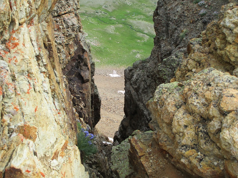
we hiked past this cool gash on the ridge
approaching larson
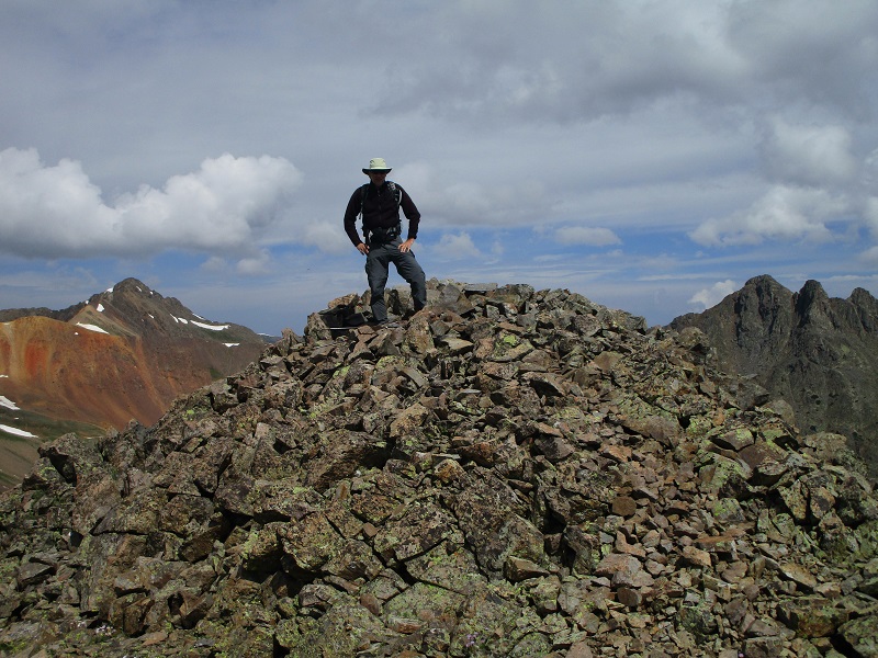
The ridge up to Larson was more steep and loose but we managed the 400’ foot climb up to the summit from the saddle in about 30 minutes. This was a great vantage point to observe the surrounding peaks.
brian on the summit of larson
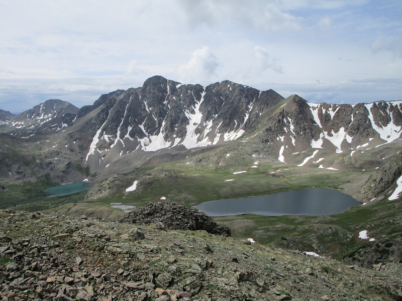
petroleum peak, with petroleum lake to the left
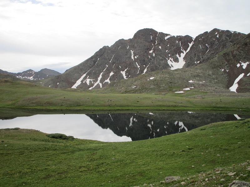
anderson peak, with anderson lake to the left and petroleum lake to the right
After about a half hour we headed down, and encountered Tyler Miller coming up the ridge, a name familiar from the online mountain climbing community. We stood and visited with him for about 30 minutes. Then we continued back down into the basin and rejoined the trail.
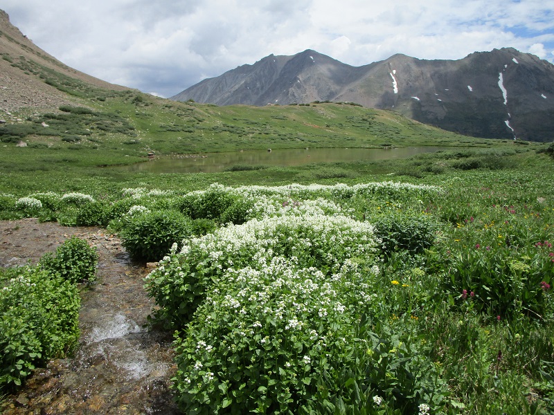
wildflowers in the basin
We encountered a family with younger children coming up the trail on their way to Anderson Lake to go fishing. What a wholesome family activity, I thought. We returned to the trailhead just before 1 pm and drove back to Brian’s vehicle at the campsite and soon headed for Leadville. Dark clouds were rapidly building, so it was a good thing this was a rather short outing today.