QUAIL MOUNTAIN
(13,461’)July 23, 2015
By Tim Briese
6.6 miles, 3500’ elevation gain, 6:20 roundtrip time
I left home with my lab Abby about 5 am and drove to the Sheep Gulch Trailhead on the Clear Creek Road about a mile and a half west of Vicksburg. This signed trailhead lies at about 9900 feet elevation. At 8 am I began hiking up the trail that climbs into the woods to the north. The excellent trail climbs briskly up to 12,500 foot Hope Pass in only 2.6 miles, so it makes for a vigorous workout. This trail is part of both the Colorado Trail and the Continental Divide Trail, so it sees a fair amount of use from hikers and backpackers. Excellent views opened up to the south as I climbed higher up the trail.
a view of mt. belford, at the left, from the trail
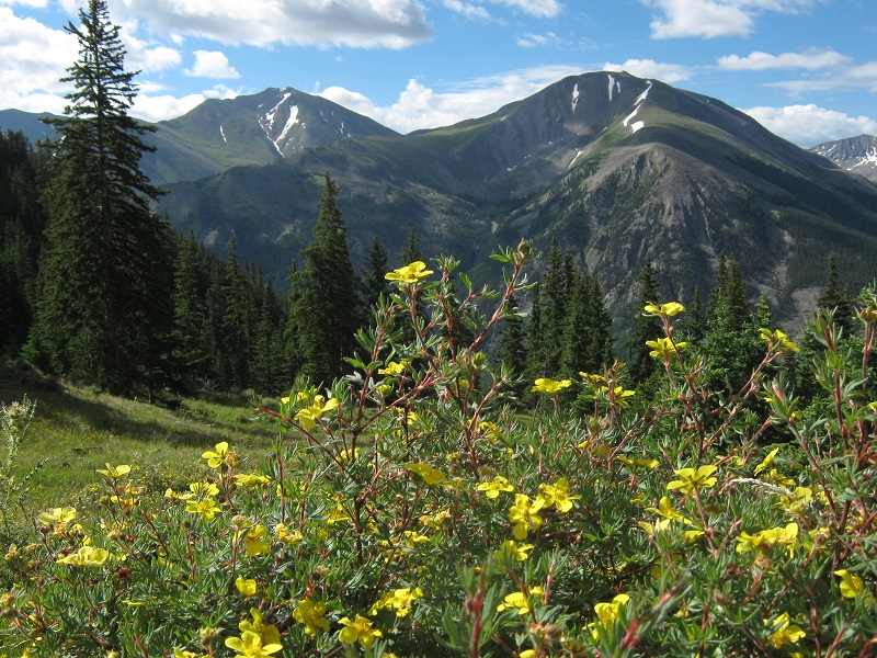
There were nice stands of wildflowers, too, especially when I got above timberline.
wildflowers along the way

on the way up to hope pass, which is the saddle in the center

I made it up to Hope Pass at 1020 and took a refreshing ten minute break.
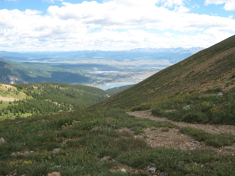
view of twin lakes and the distant mosquito range from the pass
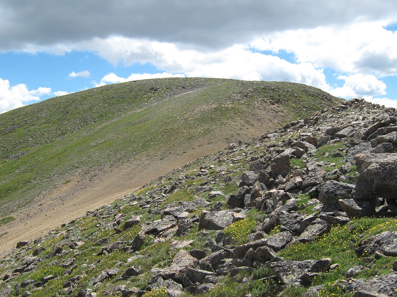
the slopes up toward quail mountain, from the pass
Then I headed up the slope to the east toward Quail.
there was a nice view of mt. hope rising to the west above the saddle.
I elected to take a sketchy climbers trail I saw across a talus and scree slope to the right of the ridge. This was a bit troublesome in places but went okay. I found it easier to just stay on the ridge later on the descent.
the upper part of the talus slope
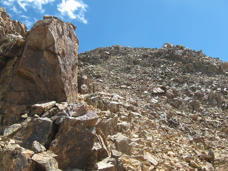
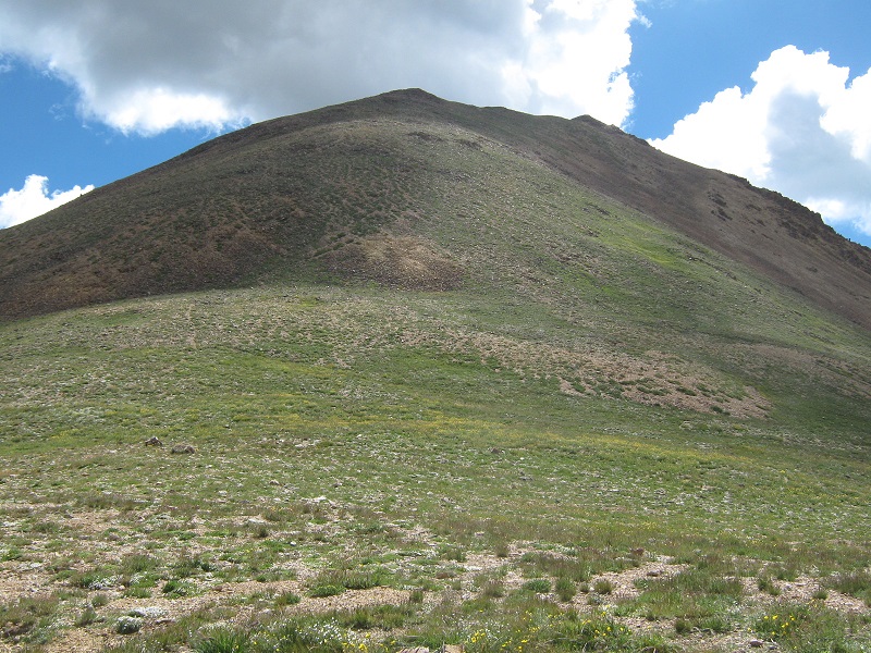
the upper slopes to the summit
I stepped on the summit at 1130 and relaxed there for half an hour. The weather was holding up nicely although there was a stiff wind blowing out of the west. I noticed that no one else had signed the summit register since July 4th.
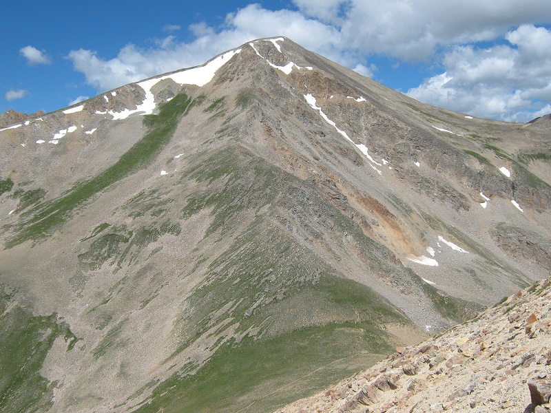
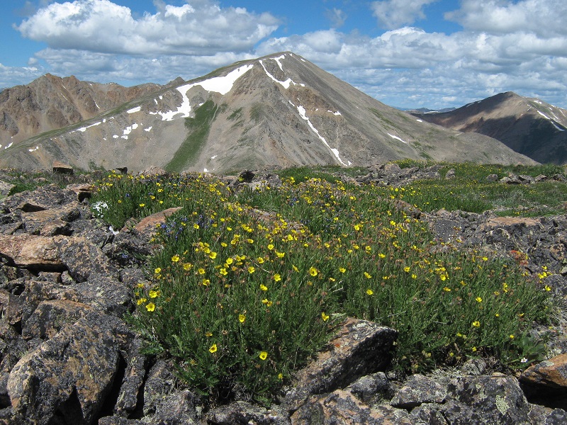
view of mt. hope from the summit
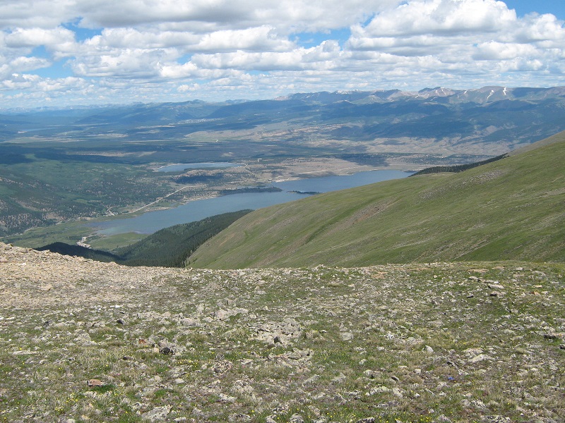
view of twin lakes from the summit
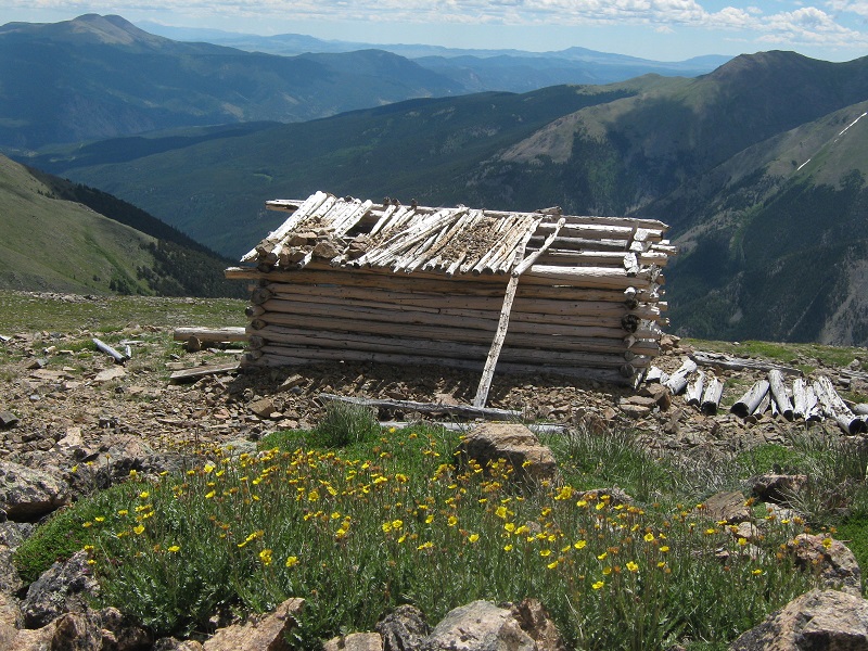
an interesting spot for an old mine shack just a few feet below the summit - "a room with a view!"
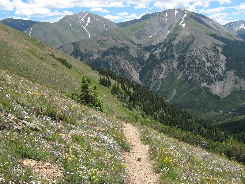
After a while I left the top and headed back down. As I came down the ridge I saw another climber headed up across the scree slope as I had done. There were also several backpackers visible far below down near the pass. After I returned to the pass it was a pleasant and easy stroll back down the fine trail.
on the trail going back down
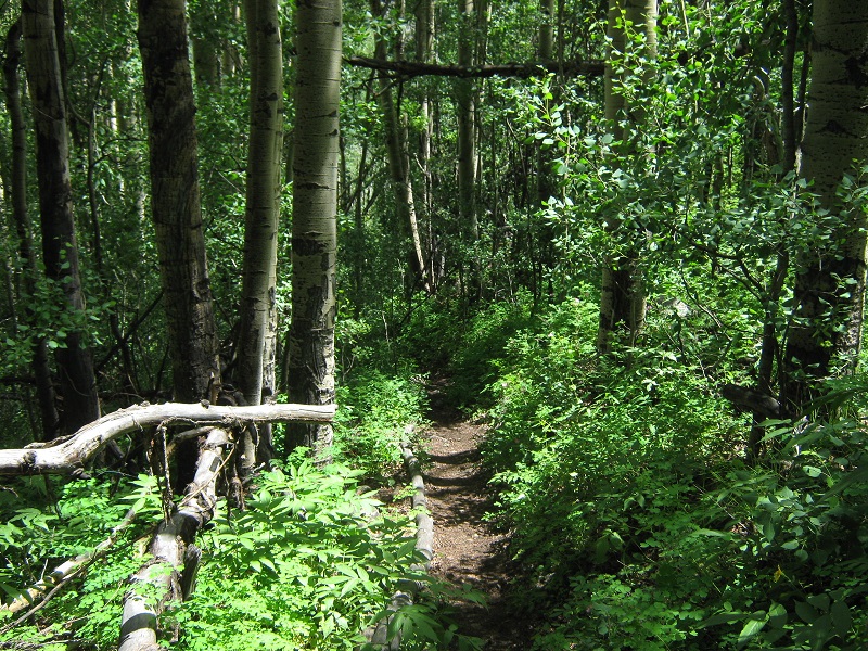
vegetation was remarkably lush on a stretch of the trail down lower
I returned to the trailhead at 220, concluding another great day in the mountains.